Sitch Plantation
Wood, Forest in Derbyshire Derbyshire Dales
England
Sitch Plantation
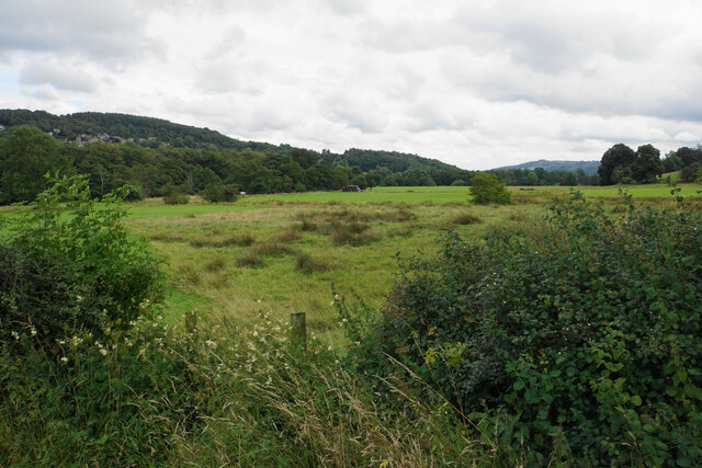
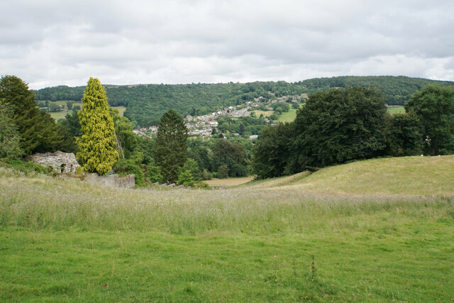
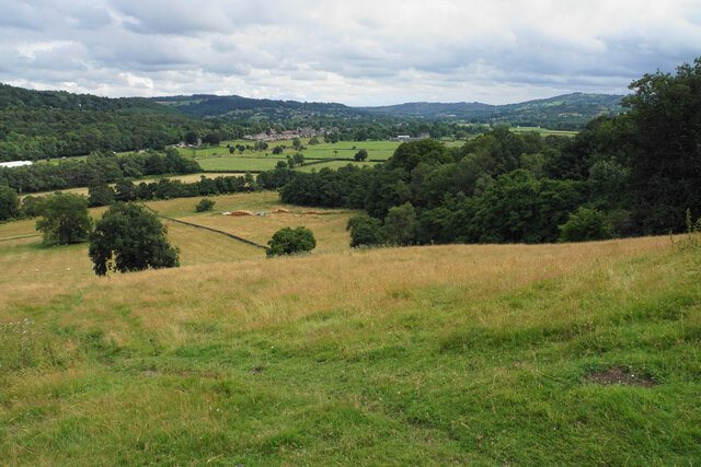
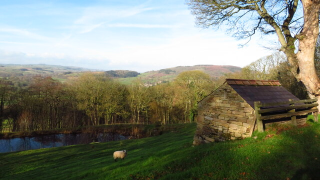
Sitch Plantation, located in Derbyshire, England, is a picturesque woodland area that spans over a vast expanse of land. Known for its dense trees and serene atmosphere, the plantation is a haven for nature lovers and outdoor enthusiasts alike.
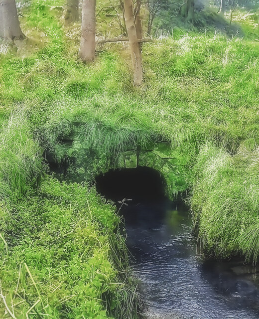
Covering an area of approximately 500 acres, Sitch Plantation is predominantly composed of deciduous trees such as oak, beech, and birch. The woodland's age can be traced back to the 1800s when it was initially established as a timber plantation. Over the years, it has evolved into a rich and diverse ecosystem, providing a habitat for a variety of wildlife, including birds, small mammals, and insects.
Walking through Sitch Plantation, visitors are greeted by a network of well-maintained footpaths that meander through the trees, offering an opportunity to explore the natural beauty of the area. The plantation is also home to a number of secluded picnic spots, providing a peaceful setting for families and friends to enjoy a day out in nature.
The woodland management team at Sitch Plantation actively practices sustainable forestry, ensuring the long-term health and vitality of the plantation. This includes regular tree planting and maintenance activities to maintain a healthy balance between young and mature trees.
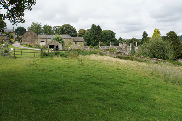
Sitch Plantation is easily accessible, with ample parking and well-signposted entrances. It is a popular destination for hikers, dog walkers, and nature enthusiasts, offering a tranquil escape from the hustle and bustle of city life. Whether you are seeking a peaceful stroll or a more adventurous hike, Sitch Plantation provides a scenic and rejuvenating experience for visitors of all ages.
If you have any feedback on the listing, please let us know in the comments section below.
Sitch Plantation Images
Images are sourced within 2km of 53.178661/-1.5922981 or Grid Reference SK2764. Thanks to Geograph Open Source API. All images are credited.


Sitch Plantation is located at Grid Ref: SK2764 (Lat: 53.178661, Lng: -1.5922981)
Administrative County: Derbyshire
District: Derbyshire Dales
Police Authority: Derbyshire
What 3 Words
///starter.tugging.vegetable. Near Matlock, Derbyshire
Nearby Locations
Related Wikis
Northwood and Tinkersley
Northwood and Tinkersley is a civil parish within the Derbyshire Dales district, in the county of Derbyshire, England. Named for its main settlements,...

Stancliffe Hall
Stancliffe Hall is a grade II Listed building on Whitworth Road in the settlement of Darley Dale, near Matlock, Derbyshire. == Early history == In 1817...

Derbyshire
Derbyshire ( DAR-bee-sheer, -shər) is a ceremonial county in the East Midlands of England. It borders Greater Manchester, West Yorkshire, and South Yorkshire...

Parkside railway station (Derbyshire)
Parkside railway station was the only station on the Derbyshire Dales Narrow Gauge Railway. Derbyshire Dales Narrow Gauge Railway was a short narrow-gauge...
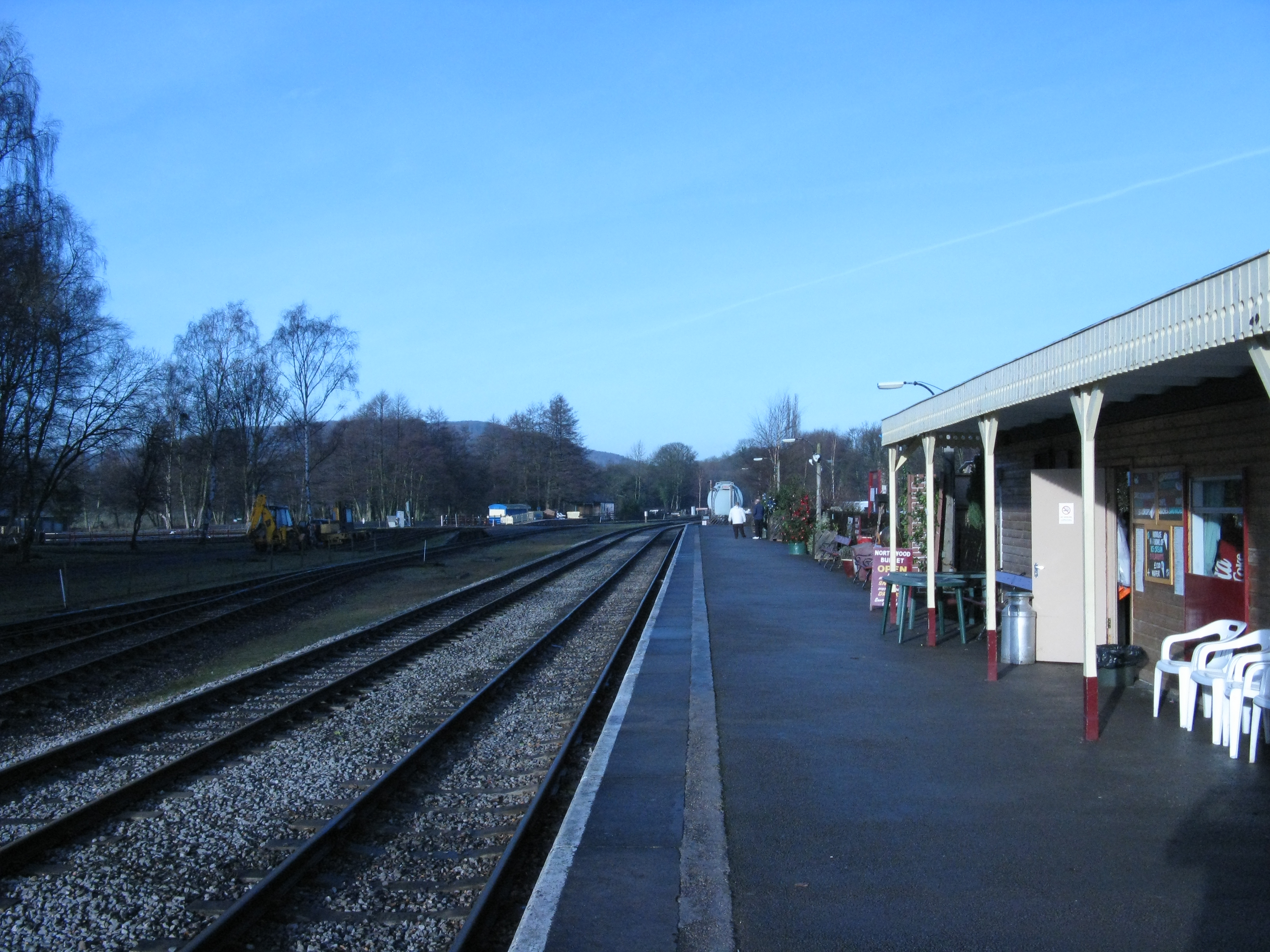
Rowsley South railway station
Rowsley South railway station lies approximately a mile short of Rowsley village, the location of the settlement's previous stations. Rowsley South was...
Derbyshire Dales Narrow Gauge Railway
The Derbyshire Dales Narrow Gauge Railway (DDNGR) was a short, 2 ft (610 mm) narrow-gauge railway located at Rowsley South at Peak Rail. It operated ex...
Darley Dale
Darley Dale, formerly Darley, is a town and civil parish in the Derbyshire Dales district of Derbyshire, England, with a population of 5,413. It lies...
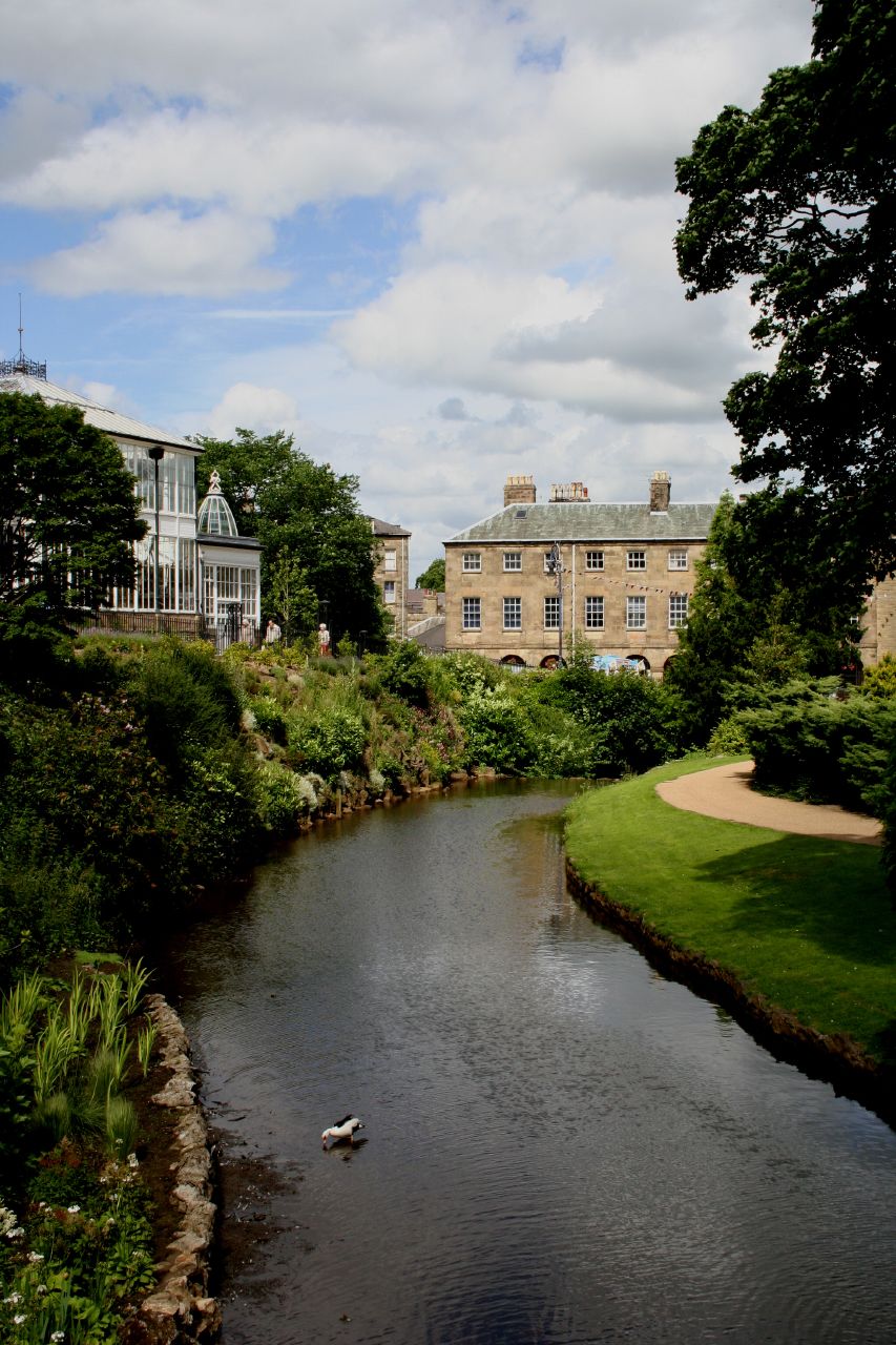
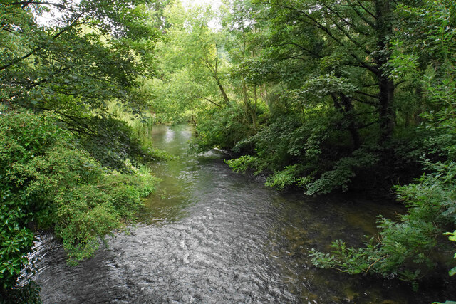
River Wye, Derbyshire
The River Wye is a limestone river in the Peak District of Derbyshire, England. It is 22 miles long (widely but incorrectly attributed as 15 miles/24...
Nearby Amenities
Located within 500m of 53.178661,-1.5922981Have you been to Sitch Plantation?
Leave your review of Sitch Plantation below (or comments, questions and feedback).