Carhead Rocks
Hill, Mountain in Derbyshire Derbyshire Dales
England
Carhead Rocks
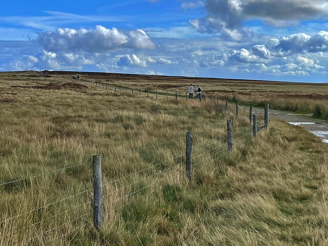
Carhead Rocks is a prominent geological feature located in Derbyshire, England. Situated near the town of Grindleford, it is a popular destination for hikers, climbers, and nature enthusiasts. Rising to an elevation of approximately 350 meters (1,150 feet), Carhead Rocks is a hill rather than a mountain, but its distinctive and rugged appearance often gives it the impression of a small mountain.
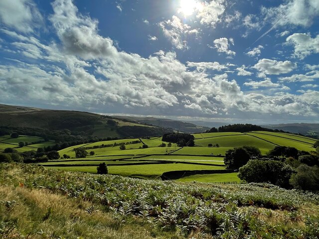
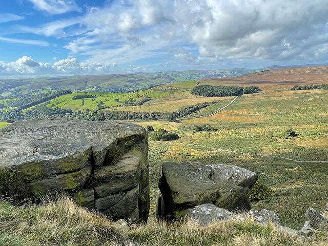
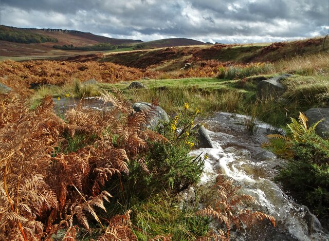
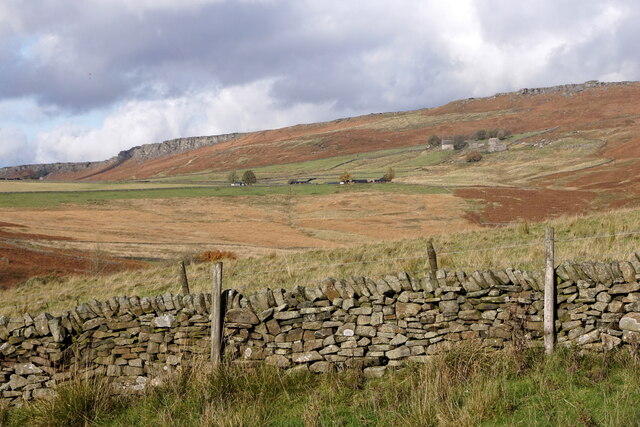
Formed millions of years ago, the rocks are composed primarily of gritstone, which gives them their characteristic rough texture. Over time, weathering and erosion have sculpted the rocks into unique formations, creating a dramatic and picturesque landscape. The hill is surrounded by lush vegetation, including heather, grasses, and scattered trees, adding to its natural beauty.
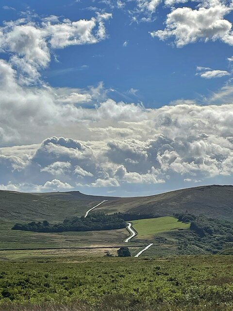
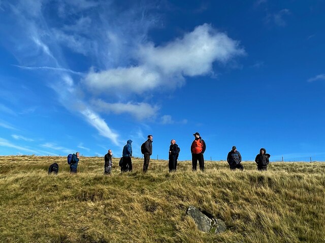
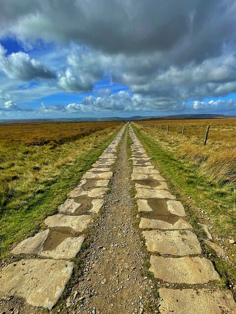
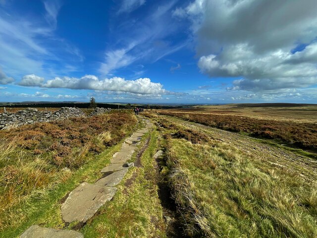
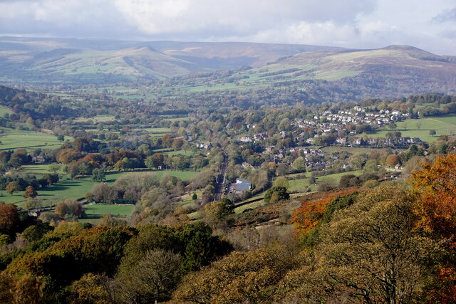
Carhead Rocks offers breathtaking panoramic views of the surrounding countryside, including the Hope Valley and the nearby Peak District National Park. For hikers and climbers, there are several trails and routes available, catering to different skill levels. The hill is renowned for its challenging climbs, with numerous bouldering and traditional climbing routes attracting experienced climbers from across the region.
In addition to its natural beauty, Carhead Rocks also holds historical significance. The rocks have been used as a quarry since the 18th century, providing the local area with gritstone for construction purposes. Today, the hill is protected as a Site of Special Scientific Interest (SSSI), ensuring its preservation for future generations to enjoy.
Overall, Carhead Rocks is a captivating and diverse destination, offering a combination of stunning scenery, challenging climbs, and a glimpse into the geological and historical past of the region.
If you have any feedback on the listing, please let us know in the comments section below.
Carhead Rocks Images
Images are sourced within 2km of 53.341717/-1.6393331 or Grid Reference SK2482. Thanks to Geograph Open Source API. All images are credited.


Carhead Rocks is located at Grid Ref: SK2482 (Lat: 53.341717, Lng: -1.6393331)
Administrative County: Derbyshire
District: Derbyshire Dales
Police Authority: Derbyshire
What 3 Words
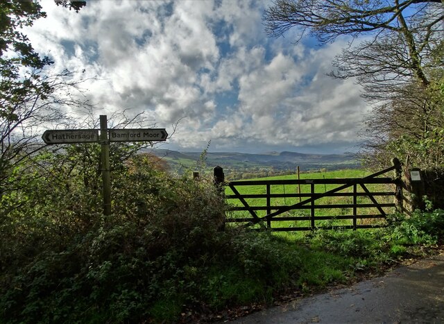
///pack.flames.bank. Near Hathersage, Derbyshire
Nearby Locations
Related Wikis

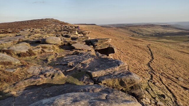
Stanage Edge
Stanage Edge, or simply Stanage (from "stone edge") is a gritstone escarpment in the Peak District, England, famous as a location for climbing. It lies...

St Michael and All Angels' Church, Hathersage
St Michael and All Angels’ Church, Hathersage, is a Grade I listed parish church in the Church of England in Hathersage, Derbyshire. == History == The...

Hood Brook
Hood Brook is a stream in the Derbyshire Peak District, originating near Stanage Edge, close to Robin Hoods Cave. == Background == Hood Brook flows south...

Higger Tor
Higger Tor or Higgar Tor is a gritstone tor in the Dark Peak, in the north of the Peak District National Park in England. It overlooks the Burbage Valley...

Long Causeway
Long Causeway or Long Causey was a medieval packhorse route in England, which ran between Sheffield in South Yorkshire and Hathersage in Derbyshire. In...

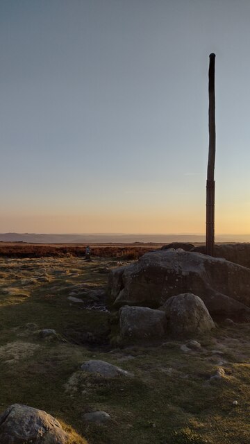
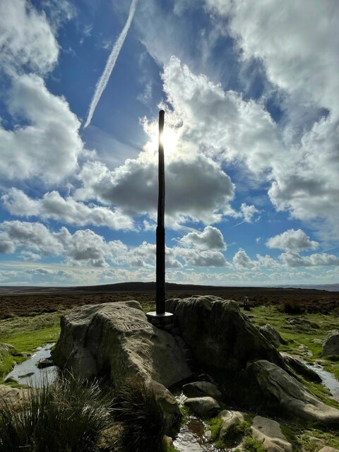
Stanedge Pole
Stanedge Pole also known as Stanage Pole (grid reference SK2468784429) is a landmark on Hallam Moors close to Stanage Edge in South Yorkshire, England...

Hathersage
Hathersage ( HATHə-sidge) is a village and civil parish in the Peak District in Derbyshire, England. It lies slightly to the north of the River Derwent...

Hathersage railway station
Hathersage railway station serves the village of Hathersage in the Derbyshire Peak District, in England. == History == The station was opened on 25 June...
Nearby Amenities
Located within 500m of 53.341717,-1.6393331Have you been to Carhead Rocks?
Leave your review of Carhead Rocks below (or comments, questions and feedback).