Beacon Hill

Hill, Mountain in Staffordshire East Staffordshire

England

Beacon Hill

St. Mary, Stretton
St. Mary, Stretton Credit: Geoff Pick

Beacon Hill, located in Staffordshire, England, is a prominent hill and popular tourist destination known for its breathtaking views and rich historical significance. Standing at an elevation of 260 meters (853 feet), it offers panoramic vistas of the surrounding countryside, making it a favorite spot for nature enthusiasts and hikers.

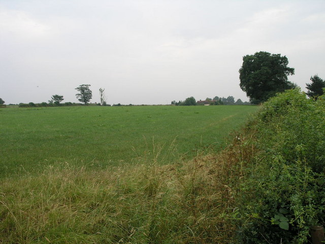
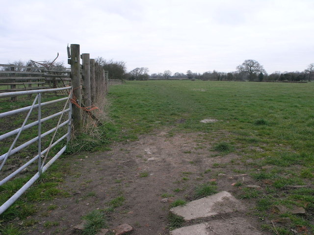
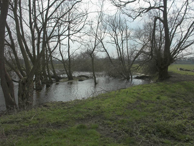
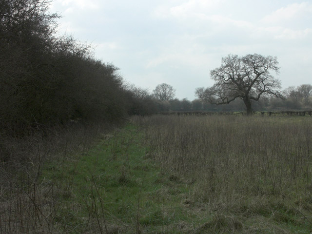
The hill is part of the Cannock Chase Area of Outstanding Natural Beauty and is covered in heathland, woodlands, and grassy slopes. These diverse habitats support a wide range of flora and fauna, including rare species such as the sand lizard and the silver-studded blue butterfly. The site is also home to several ancient burial mounds, which are believed to date back to the Bronze Age.

At the summit of Beacon Hill stands a prominent stone monument known as the Beacon Hill Monument. This tower was built in 1841 to commemorate the Golden Jubilee of Queen Victoria and provides a striking focal point on the hill. Visitors can climb the monument's spiral staircase to reach the top and enjoy panoramic views of the Staffordshire countryside.

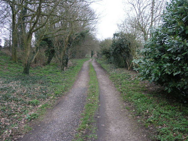
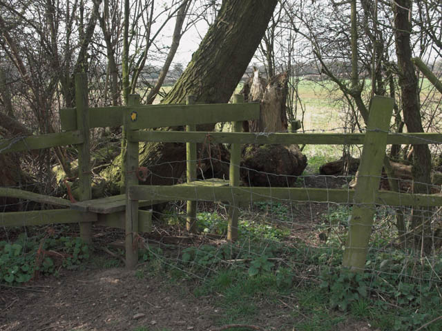
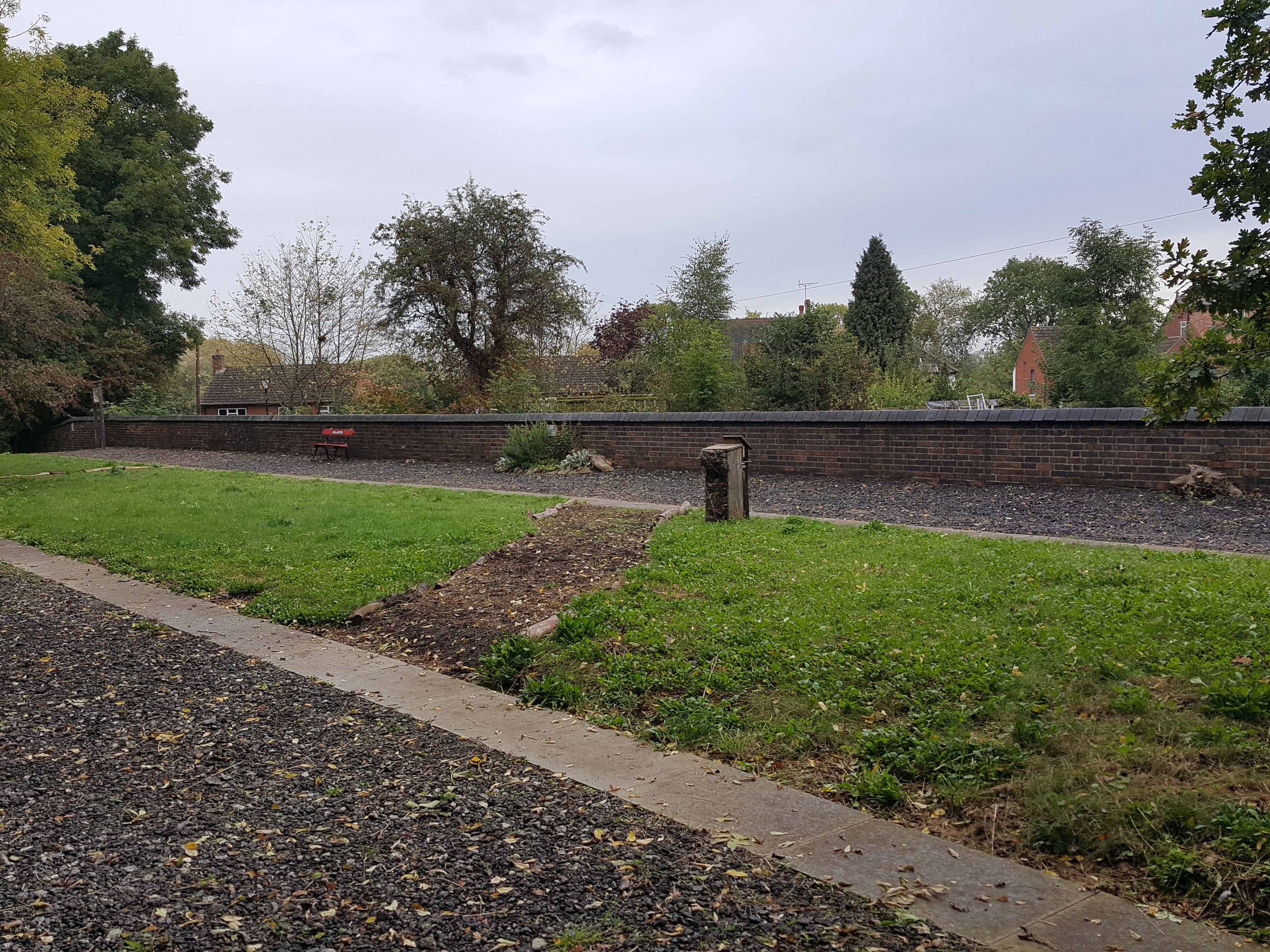
The hill is a popular destination for outdoor activities such as walking, hiking, and picnicking. Several well-marked trails crisscross the area, allowing visitors to explore the diverse landscape and discover the hill's hidden gems. Additionally, there is a small café and a visitor center nearby, providing information about the hill's history and the surrounding area.

Beacon Hill, Staffordshire, offers a unique blend of natural beauty, historical significance, and recreational opportunities, making it a must-visit destination for locals and tourists alike.

If you have any feedback on the listing, please let us know in the comments section below.

Beacon Hill Images

Images are sourced within 2km of 52.839599/-1.6432812 or Grid Reference SK2426. Thanks to Geograph Open Source API. All images are credited.

St. Mary, Stretton
St. Mary, Stretton
Two Tier Roads Charnwood Road in front is overlooked by Field Lane which stands high on the top of a ridge.
Two Tier Roads
Charnwood Road in front is overlooked by Field Lane which stands high on the top of a ridge.
Beam Hill The gentle slope to the top of Beam Hill as seen from the road to Rolleston.
Beam Hill
The gentle slope to the top of Beam Hill as seen from the road to Rolleston.
Spread Eagle and St Mary's The church in Rolleston on Dove is dedicated to St Mary.  The Spread Eagle pub next door shares some of its architecture with many railway buildings.
Spread Eagle and St Mary's
The church in Rolleston on Dove is dedicated to St Mary. The Spread Eagle pub next door shares some of its architecture with many railway buildings.
Houses in Rolleston These large houses on the road into Rolleston are built close to the site of the former railway station.  Given their distance from the village centre they were very likely built around the time of the railway. <span class="nowrap"><a title="https://web.archive.org/web/20080515162221/http://www.rolleston-on-dove.freeserve.co.uk/history.htm" rel="nofollow ugc noopener" href="https://web.archive.org/web/20080515162221/http://www.rolleston-on-dove.freeserve.co.uk/history.htm">Archive Link</a><img style="margin-left:2px;" alt="External link" title="External link - shift click to open in new window" src="https://s1.geograph.org.uk/img/external.png" width="10" height="10"/></span>
Houses in Rolleston
These large houses on the road into Rolleston are built close to the site of the former railway station. Given their distance from the village centre they were very likely built around the time of the railway. Archive LinkExternal link
Hall in a Field Dovecliff Hall is now a hotel and restaurant.
Hall in a Field
Dovecliff Hall is now a hotel and restaurant.
St John's Church This Victorian Gothic Church has served the Parish of Horninglow since the foundation of St John the Divine in 1866.
St John's Church
This Victorian Gothic Church has served the Parish of Horninglow since the foundation of St John the Divine in 1866.
St John's Church and graveyard The grounds and graveyard of the Church of St John the Divine.
St John's Church and graveyard
The grounds and graveyard of the Church of St John the Divine.
Bridge 30 Bridge number 30 over the Trent & Mersey canal
Bridge 30
Bridge number 30 over the Trent & Mersey canal
Pirelli (1) Part of the Pirelli Distribution Centre
Pirelli (1)
Part of the Pirelli Distribution Centre
The Brickmakers Arms, Upper Outwood
Path to Tutbury This public footpath joins Rolleston on Dove with Tutbury.
Path to Tutbury
This public footpath joins Rolleston on Dove with Tutbury.
Bridleway to Alder Moor This bridleway passes by the Cemetery in Rolleston on Dove and leads to Alder Moor.
Bridleway to Alder Moor
This bridleway passes by the Cemetery in Rolleston on Dove and leads to Alder Moor.
River Dove near Egginton The river forms the county boundary between Derbyshire (this bank) and Staffordshire (the far bank).
River Dove near Egginton
The river forms the county boundary between Derbyshire (this bank) and Staffordshire (the far bank).
River Dove looking upstream near Egginton The river forms the county boundary between Derbyshire (this bank) and Staffordshire (the far bank).
River Dove looking upstream near Egginton
The river forms the county boundary between Derbyshire (this bank) and Staffordshire (the far bank).
Pool near River Dove Probably part of an former oxbow, this pool has been well filled by the winter rains.
Pool near River Dove
Probably part of an former oxbow, this pool has been well filled by the winter rains.
Field boundary
Field boundary
Stile on footpath from Egginton to Marston on Dove This stile was in a very rickety condition. The planks flipped up if you trod on the end.
Stile on footpath from Egginton to Marston on Dove
This stile was in a very rickety condition. The planks flipped up if you trod on the end.
Show me another place!

Beacon Hill is located at Grid Ref: SK2426 (Lat: 52.839599, Lng: -1.6432812)

Administrative County: Staffordshire

District: East Staffordshire

Police Authority: Staffordshire

What 3 Words

///promising.reunion.basket. Near Burton upon Trent, Staffordshire

Nearby Locations

Beacon Hill

Related Wikis

Rolleston on Dove

Rolleston on Dove, also known simply as Rolleston, is a village and civil parish in the East Staffordshire district, in the county of Staffordshire, England...

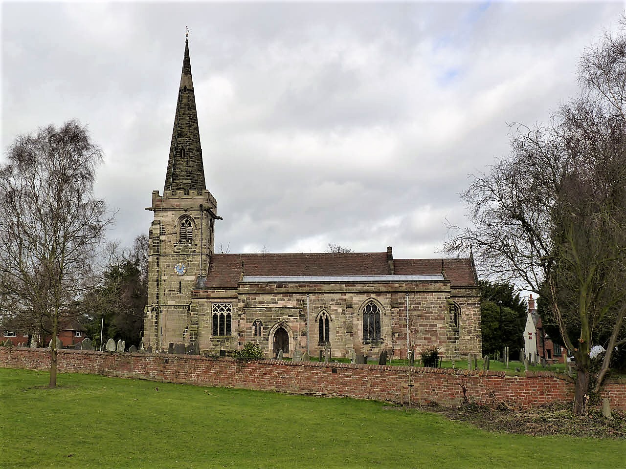
St Mary's Church, Rolleston on Dove

St Mary's Church is a parish church of the Church of England in Rolleston on Dove, Staffordshire. Parts of the structure date to 1130, though it was extensively...

Jinnie Trail

The Jinnie Nature Trail is a conservation area stretching along a narrow man-made valley between the villages of Rolleston on Dove and Stretton. It was...

Rolleston Hall

Rolleston Hall was a country house in Rolleston-on-Dove, Staffordshire. Originally built in the early 17th century for Sir Edward Mosley, it had been substantially...

Rolleston-on-Dove railway station

Rolleston-on-Dove railway station is a disused railway station built to serve Rolleston on Dove in Staffordshire. == History == The station was opened...

Stretton and Claymills railway station

Stretton and Claymills railway station is a disused railway station in Stretton, near Burton upon Trent, Staffordshire. == History == The station was opened...

The de Ferrers Academy

The de Ferrers Academy (formerly De Ferrers Specialist Technology College) is a secondary school with academy status located in Burton upon Trent, Staffordshire...

Stretton, East Staffordshire

Stretton is a large village and civil parish in Staffordshire, England. It is situated on the northern outskirts of Burton upon Trent and is effectively...

Nearby Amenities

Located within 500m of 52.839599,-1.6432812
Post Box
Operator: Royal Mail
Ref: DE13 1176
Lat/Long: 52.8392845/-1.6486415
Leisure: playground
Source: Local knowledge
Lat/Long: 52.8436513/-1.6412554
Source: Local knowledge
Tourism: picnic_site
Lat/Long: 52.8435704/-1.6409604
Bus Stop
No. 56
Naptan AtcoCode: 3800C340301
Naptan NaptanCode: stadgtwa
Public Transport: platform
Lat/Long: 52.8411203/-1.6500387
Bus Stop
No. 56
Public Transport: platform
Lat/Long: 52.8404593/-1.6496953
Bus Stop
Cross Lane
Naptan AtcoCode: 3800C333302
Naptan NaptanCode: stadgpdt
Public Transport: platform
Lat/Long: 52.8385053/-1.6478191
Bus Stop
Cross Lane
Naptan AtcoCode: 3800C333301
Naptan NaptanCode: stadgpdp
Public Transport: platform
Lat/Long: 52.838447/-1.6476609
Bus Stop
Athlestan Way
Public Transport: platform
Lat/Long: 52.8360004/-1.6472518
Bus Stop
Athlestan Way
Public Transport: platform
Lat/Long: 52.8360587/-1.647386
The data included in this document is from www.openstreetmap.org. The data is made available under ODbL.

Have you been to Beacon Hill?

Leave your review of Beacon Hill below (or comments, questions and feedback).