Ridley Hill
Hill, Mountain in Durham
England
Ridley Hill

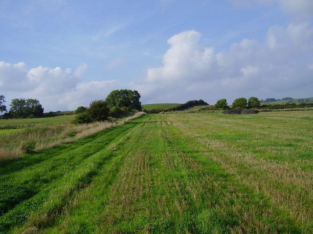
Ridley Hill, located in Durham, England, is a prominent hill and natural landmark that offers stunning views of the surrounding countryside. Rising to an elevation of approximately 200 meters, it is a popular destination for hikers, nature enthusiasts, and those seeking a peaceful retreat.
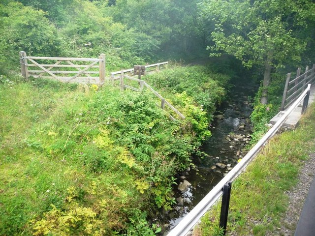
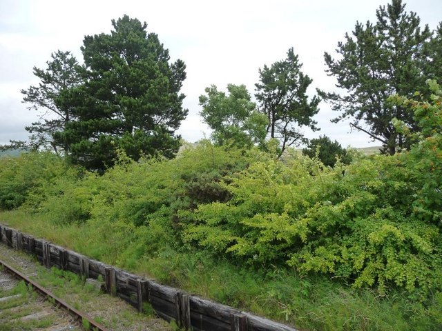
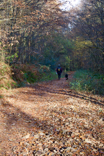
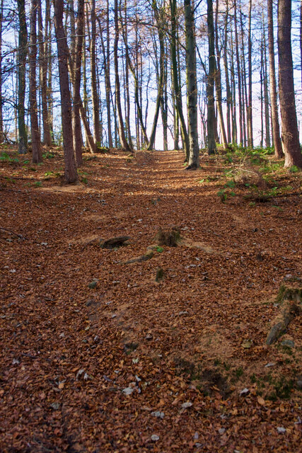
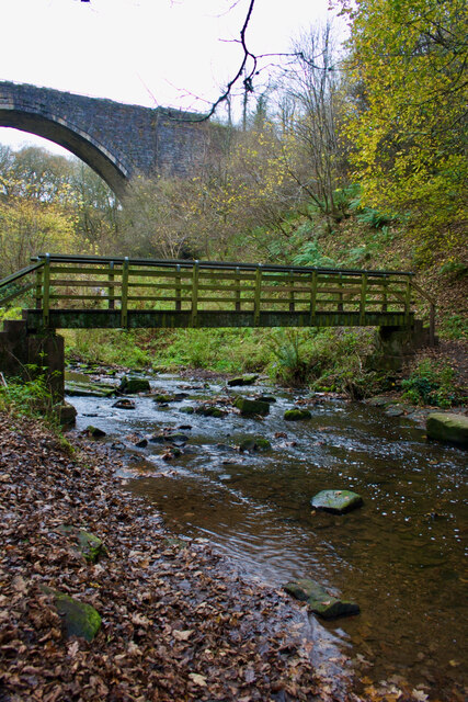
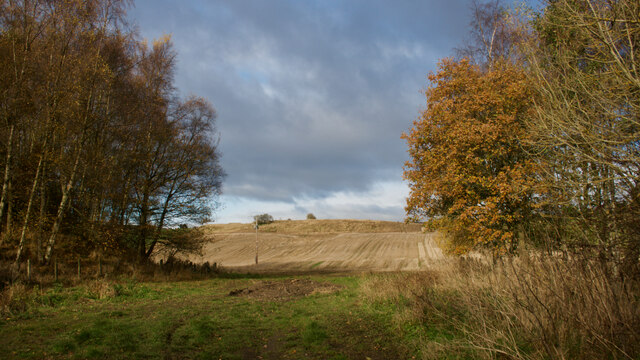
The hill itself is characterized by its gently sloping terrain, covered in lush green grass and scattered with wildflowers during the warmer months. It is surrounded by dense woodlands, adding to its scenic beauty and providing a habitat for a variety of wildlife.
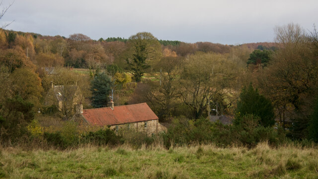
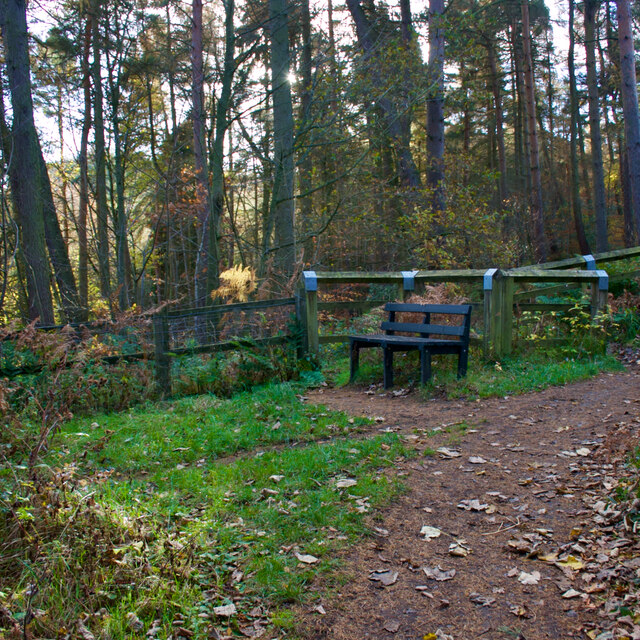
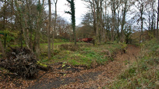
Ridley Hill is known for its well-maintained trails, making it accessible to both experienced hikers and beginners. The paths wind their way up the hill, offering panoramic views of the rolling hills and picturesque villages below. On a clear day, it is even possible to catch a glimpse of the distant Durham Cathedral.
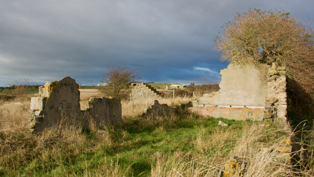
The hill has a rich history, with archaeological finds suggesting human activity in the area dating back thousands of years. Ancient burial mounds and remnants of settlements have been discovered, providing valuable insights into the region's past.
Visitors to Ridley Hill can also enjoy the presence of grazing livestock, such as sheep and cows, which contribute to the area's pastoral charm. Additionally, the hill serves as a popular spot for picnics and outdoor activities, providing a tranquil setting for families and friends to gather and enjoy the natural beauty of the Durham countryside.
Overall, Ridley Hill is a remarkable natural feature that offers a peaceful escape from the bustle of everyday life, allowing visitors to immerse themselves in the beauty of Durham's landscape.
If you have any feedback on the listing, please let us know in the comments section below.
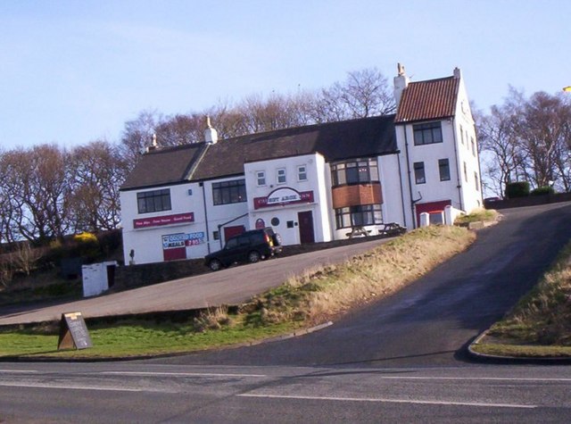
Ridley Hill Images
Images are sourced within 2km of 54.896716/-1.6726104 or Grid Reference NZ2155. Thanks to Geograph Open Source API. All images are credited.

Ridley Hill is located at Grid Ref: NZ2155 (Lat: 54.896716, Lng: -1.6726104)
Unitary Authority: County Durham
Police Authority: Durham
What 3 Words
///landings.baseless.paddle. Near Tanfield, Co. Durham
Nearby Locations
Related Wikis
Causey, County Durham
Causey is a village in County Durham, in England. It is situated a short distance to the north of Stanley. == Demographic Information == Village contains...

Causey Bank Mires
Causey Bank Mires is a Site of Special Scientific Interest in the Derwentside district of County Durham, England. It lies alongside and to the west of...

Beamish Hall
Beamish Hall is a mid-18th-century country house, now converted to a hotel, which stands in 24 acres (97,000 m2) of grounds near the town of Stanley, County...
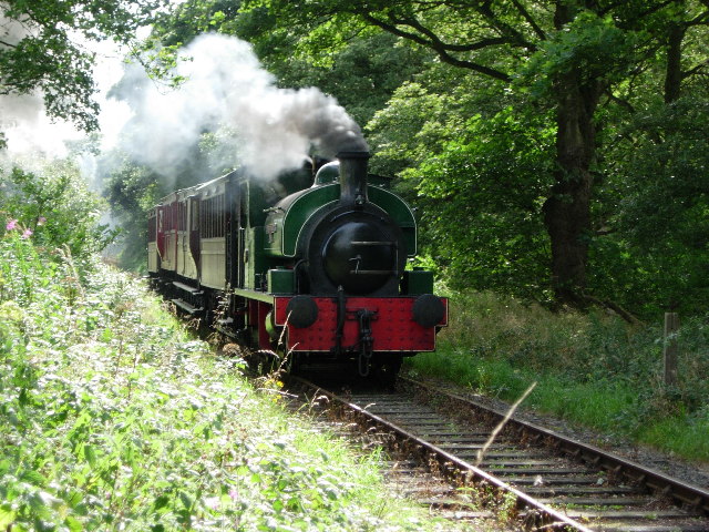
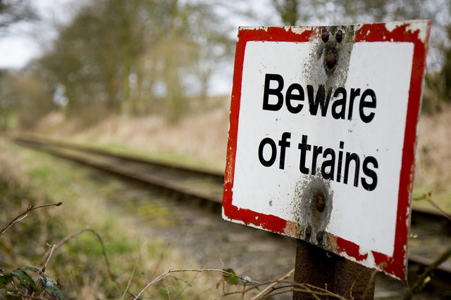
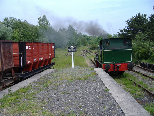
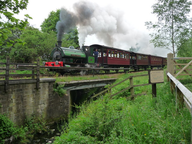
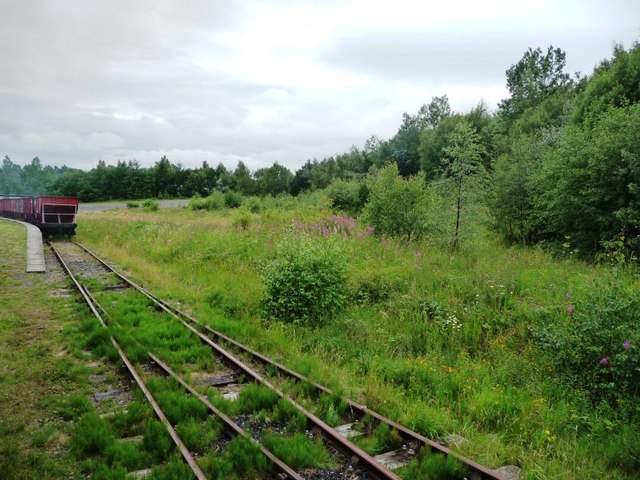
Tanfield Railway
The Tanfield Railway is a 4 ft 8+1⁄2 in (1,435 mm) standard gauge heritage railway in Gateshead and County Durham, England. Running on part of a former...

Beamish Museum
Beamish Museum is the first regional open-air museum, in England, located at Beamish, near the town of Stanley, in County Durham, England. Beamish pioneered...

Beamish Museum transport collection
Beamish Museum contains much of transport interest, and the size of its site makes good internal transportation for visitors and staff purposes a necessity...

Tanfield, County Durham
Tanfield is a village and former civil parish, now in the parish of Stanley, in the County Durham district, in the ceremonial county of Durham, England...
Kip Hill
Kip Hill is a village in County Durham, in England. It is situated directly to the north of Stanley, near Shield Row. It has two pubs, the Blue Bell Inn...
Have you been to Ridley Hill?
Leave your review of Ridley Hill below (or comments, questions and feedback).