Blackstones Low
Hill, Mountain in Derbyshire Derbyshire Dales
England
Blackstones Low
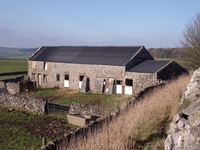
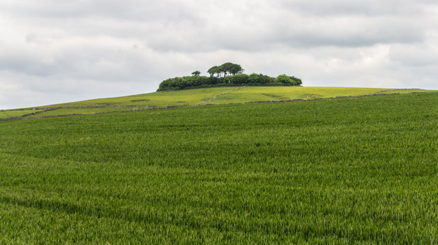
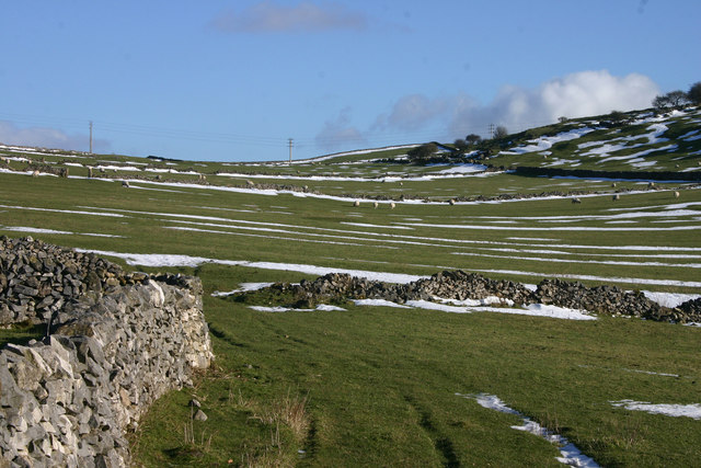
Blackstones Low is a prominent hill located in Derbyshire, England. Rising to an elevation of approximately 405 meters (1,328 feet), it is classified as a hill rather than a mountain. The hill is situated within the Peak District National Park, renowned for its picturesque landscapes and natural beauty.
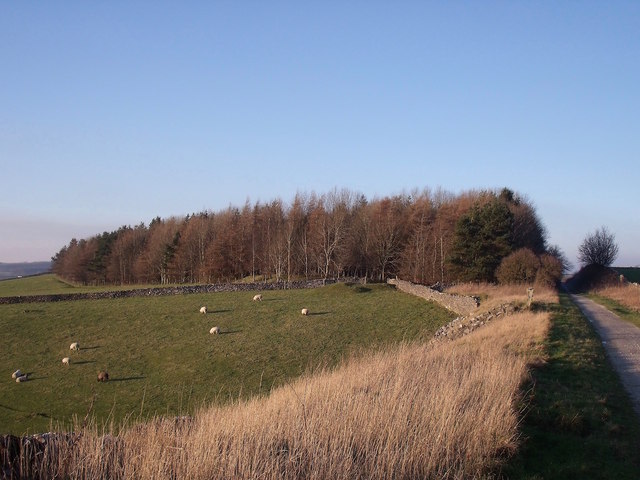
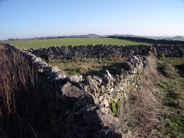
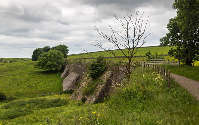
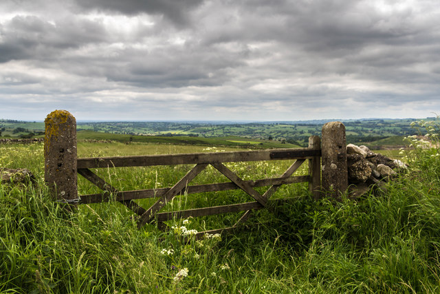
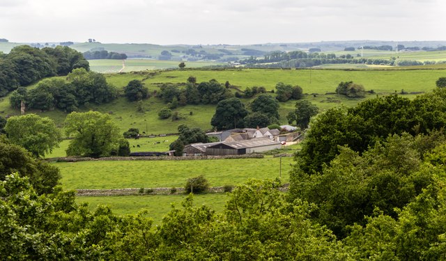
Blackstones Low is characterized by its distinctive shape and rugged terrain. It is composed mainly of gritstone and shale, giving it a unique appearance and providing a challenging terrain for hikers and climbers. The hill offers stunning panoramic views of the surrounding countryside, including the nearby village of Crowdecote and the River Dove, which meanders through the valley below.
The area surrounding Blackstones Low is rich in flora and fauna, with an abundance of wildflowers, heather, and grasses covering the hillside. It is home to a variety of bird species, such as curlews, lapwings, and peregrine falcons, making it a popular spot for birdwatchers.
Hikers and nature enthusiasts are drawn to Blackstones Low for its numerous walking trails and footpaths, which provide access to the hill's summit. The most popular route is the footpath from the village of Crowdecote, which leads visitors through scenic landscapes and offers breathtaking views from the top.
Blackstones Low is a haven for outdoor activities, including rock climbing, orienteering, and photography. Its natural beauty and tranquil atmosphere make it a popular destination for locals and tourists alike, seeking solace in nature and a chance to appreciate the stunning beauty of the Peak District.
If you have any feedback on the listing, please let us know in the comments section below.
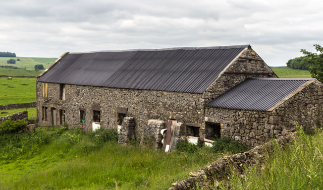
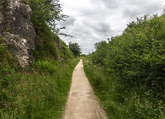
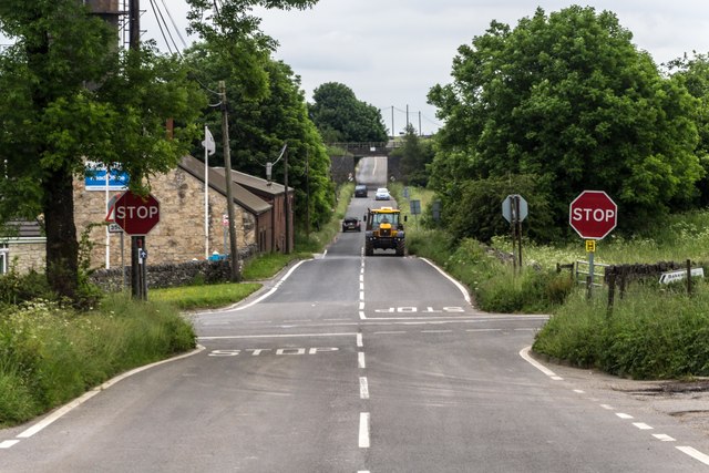
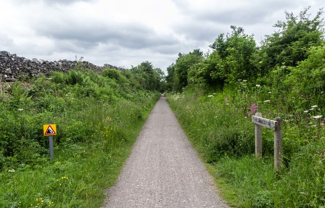
Blackstones Low Images
Images are sourced within 2km of 53.095576/-1.6878512 or Grid Reference SK2155. Thanks to Geograph Open Source API. All images are credited.


Blackstones Low is located at Grid Ref: SK2155 (Lat: 53.095576, Lng: -1.6878512)
Administrative County: Derbyshire
District: Derbyshire Dales
Police Authority: Derbyshire
What 3 Words
///defender.online.obtain. Near Newhaven, Derbyshire
Nearby Locations
Related Wikis

Ballidon
Ballidon is a village and civil parish in the Derbyshire Dales district of Derbyshire, England, on the edge of the Peak District National Park. According...
All Saints Church, Ballidon
All Saints Church is a redundant Anglican church located to the south of the village of Ballidon, Derbyshire, England. It is recorded in the National...

Longcliffe
Longcliffe is a crossroads hamlet in the English county of Derbyshire. It lies on the B5056 road where it is crossed by the Brassington-Elton road. The...
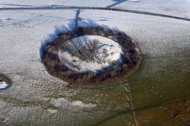
Minninglow
Minninglow (or Minning Low) is a hill in the Peak District National Park in Derbyshire, located within the White Peak area at grid reference SK209573....

Ballidon Dale
Ballidon Dale is a steep-sided, dry carboniferous limestone valley near Parwich in the Derbyshire Peak District of England. The ancient hamlet of Ballidon...
Parwich
Parwich is a village and parish in the Derbyshire Dales, 7 miles north of Ashbourne. In the 2011 census the population of the civil parish was 472.Village...
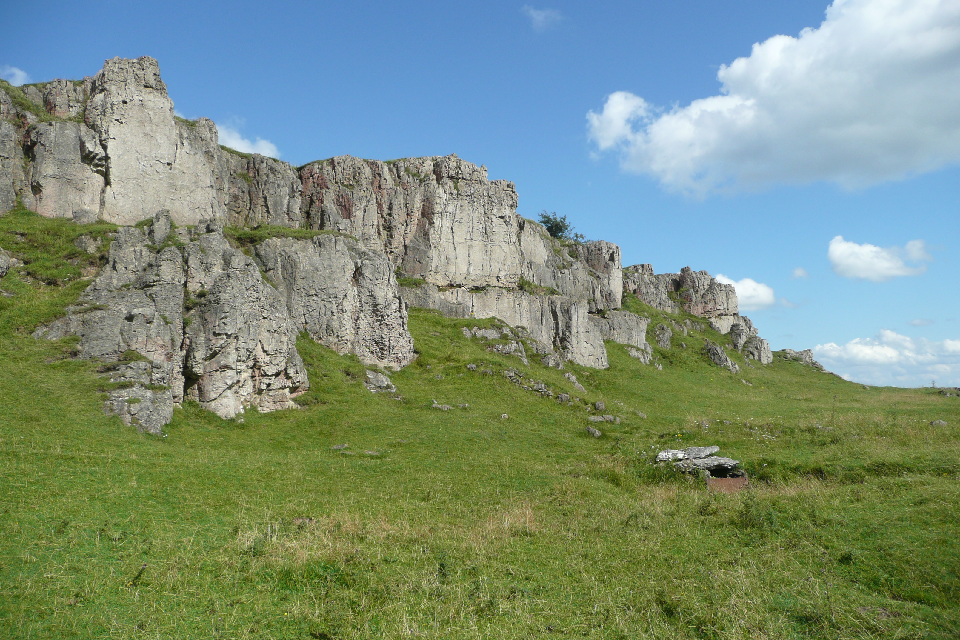
Harboro' Rocks
Harboro' Rocks (or Harborough Rocks) is a dolomitic limestone hill near the village of Brassington in the Derbyshire Peak District. The summit is 379 metres...

St Peter's Church, Parwich
St Peter’s Church, Parwich is a Grade II* listed parish church in the Church of England in Parwich, Derbyshire. == History == The medieval church was demolished...
Nearby Amenities
Located within 500m of 53.095576,-1.6878512Have you been to Blackstones Low?
Leave your review of Blackstones Low below (or comments, questions and feedback).