Box Berry Hill

Hill, Mountain in Hampshire New Forest

England

Box Berry Hill

Road to Picket Post Road to Picket Post passing the parking at Vereley
Road to Picket Post Credit: Shaun Ferguson

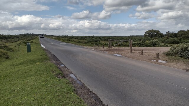
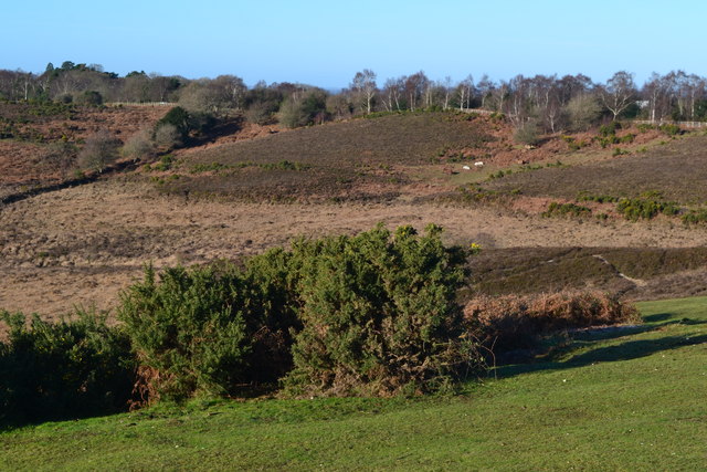
Box Berry Hill is a prominent hill located in the county of Hampshire, England. Situated near the village of Box, it is part of the South Downs National Park, an area known for its stunning natural beauty. With an elevation of approximately 232 meters (761 feet), Box Berry Hill offers visitors breathtaking views of the surrounding countryside.

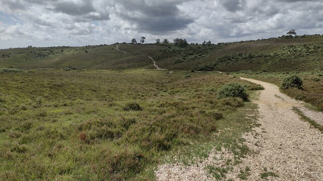
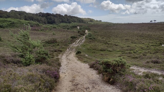
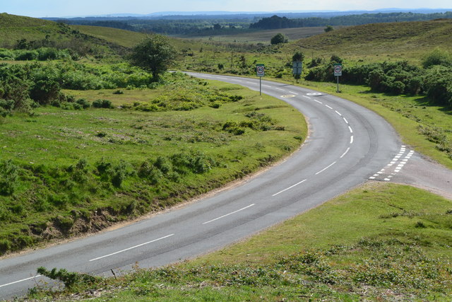
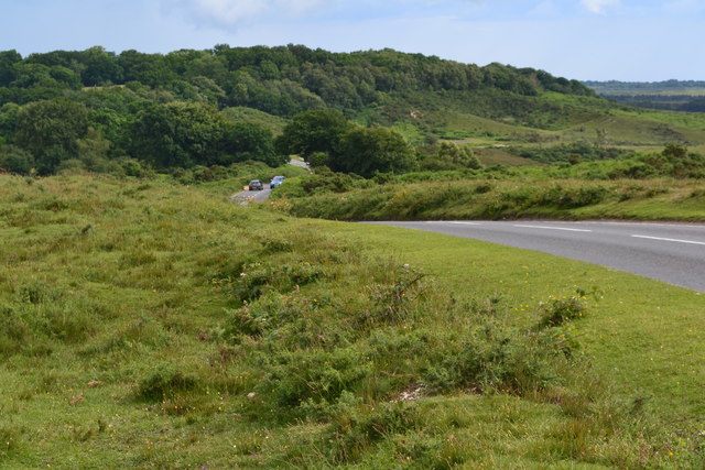
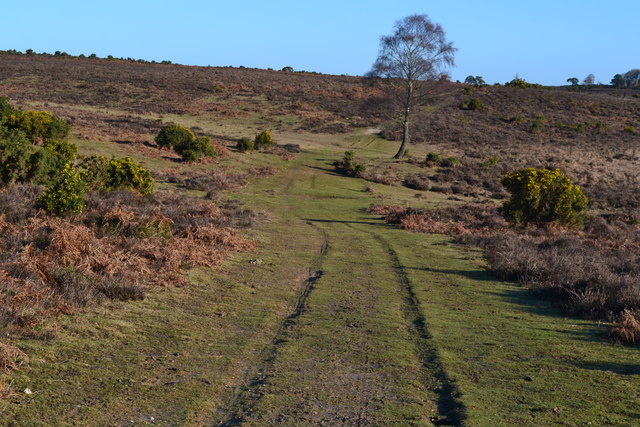
The hill is primarily composed of chalk, a characteristic feature of the South Downs region. Its gentle slopes and grassy terrain make it accessible to walkers of all abilities. A well-marked footpath leads to the summit, where a trig point marks the highest point of the hill.

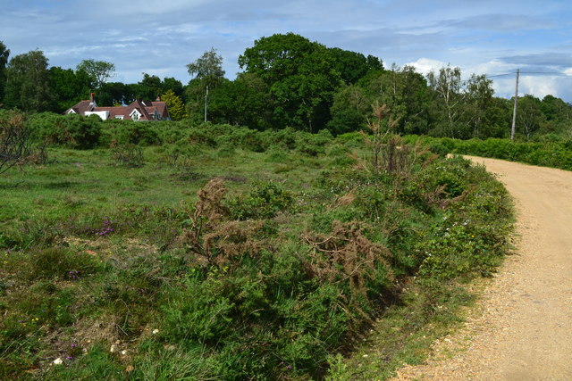
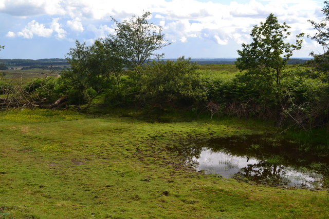
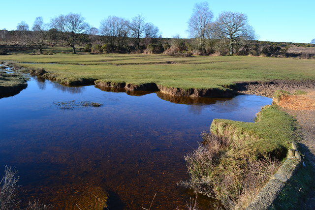
From the top of Box Berry Hill, visitors can enjoy panoramic vistas of the Hampshire countryside. On a clear day, it is possible to see as far as the Isle of Wight and the distant hills of the New Forest. The hill is also known for its diverse flora and fauna, with wildflowers such as harebells and cowslips dotting the landscape.

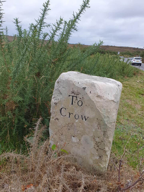
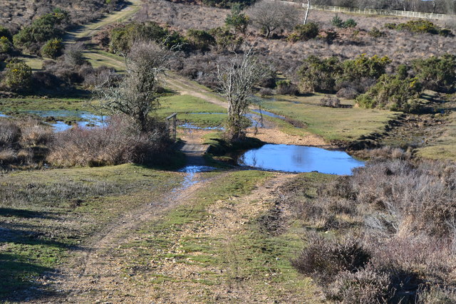
Box Berry Hill is a popular destination for outdoor enthusiasts, offering ample opportunities for hiking, picnicking, and wildlife spotting. The hill is easily accessible by car, with a small parking area available for visitors. Nearby attractions include the picturesque village of Box, with its charming thatched cottages, and the historic city of Winchester, home to the famous Winchester Cathedral.

In conclusion, Box Berry Hill in Hampshire is a stunning natural landmark, offering visitors a chance to immerse themselves in the beauty of the South Downs National Park. With its panoramic views and tranquil surroundings, it is a must-visit destination for nature lovers and outdoor enthusiasts.

If you have any feedback on the listing, please let us know in the comments section below.

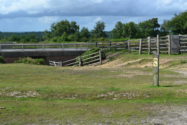
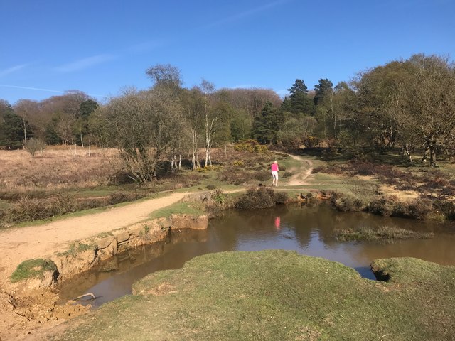
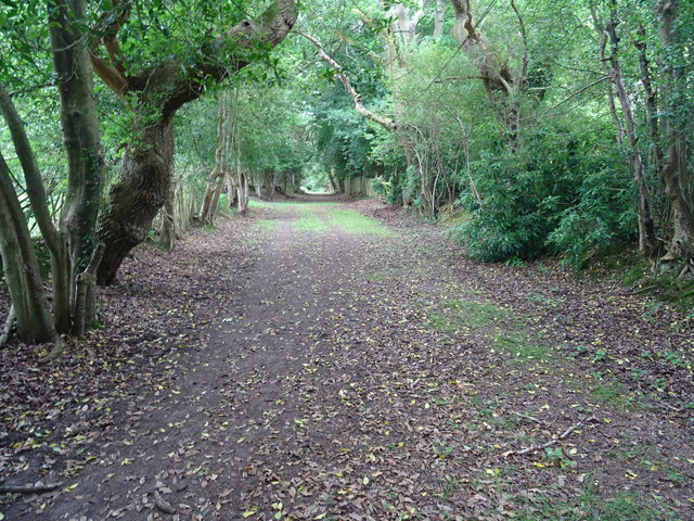
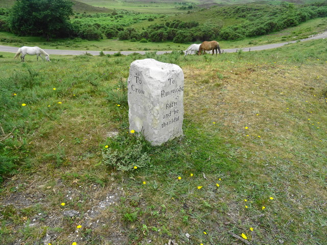
Box Berry Hill Images

Images are sourced within 2km of 50.844505/-1.7063365 or Grid Reference SU2005. Thanks to Geograph Open Source API. All images are credited.

Road to Picket Post Road to Picket Post passing the parking at Vereley
Road to Picket Post
Road to Picket Post passing the parking at Vereley
Track towards Broad Bottom From Vereley Hill car park the track swings to the left towards Broad Bottom
Track towards Broad Bottom
From Vereley Hill car park the track swings to the left towards Broad Bottom
Path towards Church Moor Near Fort Hill the path towards Church Moor
Path towards Church Moor
Near Fort Hill the path towards Church Moor
Old Guide Stone, Burley Street Peace guidestone by the UC road, in parish of Burley (New Forest District), Burley Street, junction of Castle Hill and Verely Hill, on raised bank.
In 1902 a Benchmark on the stone represented 241 m ASL. Views of the two other faces see <a href="https://www.geograph.org.uk/photo/6043440">SU1904 : Old Guide Stone, Burley Street, Burley Parish</a>.

Inscription reads: To / Ringwood / Rest and be thankful // 
PEACE / Restored / 27th March / 1802 // To / Crow

Grade II listed. List Entry Number: 1094926 <span class="nowrap"><a title="https://historicengland.org.uk/listing/the-list/list-entry/1094926" rel="nofollow ugc noopener" href="https://historicengland.org.uk/listing/the-list/list-entry/1094926">Link</a><img style="margin-left:2px;" alt="External link" title="External link - shift click to open in new window" src="https://s1.geograph.org.uk/img/external.png" width="10" height="10"/></span>

Milestone Society National ID: HA_RILY03P
Old Guide Stone, Burley Street
Peace guidestone by the UC road, in parish of Burley (New Forest District), Burley Street, junction of Castle Hill and Verely Hill, on raised bank. In 1902 a Benchmark on the stone represented 241 m ASL. Views of the two other faces see SU1904 : Old Guide Stone, Burley Street, Burley Parish. Inscription reads: To / Ringwood / Rest and be thankful // PEACE / Restored / 27th March / 1802 // To / Crow Grade II listed. List Entry Number: 1094926 LinkExternal link Milestone Society National ID: HA_RILY03P
Road junction near Little Castle Common
View towards Castle Hill
Track near Burley Croft
Small pond beside the road on Vereley Hill
Underpass at Picket Post The footpath passes beneath the A31 dual carriageway 150m northeast of the Picket Post junction.
Underpass at Picket Post
The footpath passes beneath the A31 dual carriageway 150m northeast of the Picket Post junction.
Ford at Ridley Bottom This ford on Mill Lawn Brook is found at Ridley Bottom.
Ford at Ridley Bottom
This ford on Mill Lawn Brook is found at Ridley Bottom.
Footpath towards Burley The direct route from Castle Hill.
Footpath towards Burley
The direct route from Castle Hill.
Milestone above Burley Street One of a number erected in 1802 by Thomas Eyre marking the Peace of Amiens. Thankfully the stones outlasted the peace. This one is on a high bank in a grass triangle on the edge of heathland.
Milestone above Burley Street
One of a number erected in 1802 by Thomas Eyre marking the Peace of Amiens. Thankfully the stones outlasted the peace. This one is on a high bank in a grass triangle on the edge of heathland.
View northwest from Picket Post car park
Track on Picket Plain
Pool below footbridge on Mill Lawn Brook
Ford and footbridge in Ridley Bottom
Old Guide Stone, Burley Street, Burley Parish Peace guidestone by the UC road, in parish of Burley (New Forest District), Burley Street, junction of Castle Hill and Verely Hill, on raised bank.

Inscription reads:-
: To / Ringwood / Rest and be thankful : : PEACE / Restored / 27th March / 1802 :

Grade II listed. List Entry Number: 1094926
<span class="nowrap"><a title="https://historicengland.org.uk/listing/the-list/list-entry/1094926" rel="nofollow ugc noopener" href="https://historicengland.org.uk/listing/the-list/list-entry/1094926">Link</a><img style="margin-left:2px;" alt="External link" title="External link - shift click to open in new window" src="https://s1.geograph.org.uk/img/external.png" width="10" height="10"/></span>

Surveyed

Milestone Society National ID: HA_RILY03P
Old Guide Stone, Burley Street, Burley Parish
Peace guidestone by the UC road, in parish of Burley (New Forest District), Burley Street, junction of Castle Hill and Verely Hill, on raised bank. Inscription reads:- : To / Ringwood / Rest and be thankful : : PEACE / Restored / 27th March / 1802 : Grade II listed. List Entry Number: 1094926 LinkExternal link Surveyed Milestone Society National ID: HA_RILY03P
Old Milestone by the A31, Old Gate, Burley Parish Carved stone post by the A31, in parish of BURLEY (NEW FOREST District), Old Gate; 500m North East of service station, on slope at North side of central reservation, in centre of road. More easily seen from the South bound carriageway, just before, and opposite the \ 300 metres to exit sign. Romsey rectangle stone, erected by the Romsey & Ringwood turnpike trust in the 19th century. 

Inscription reads:-
14
Miles to
Romsey
4 to
(Ringwood?)

Milestone Society National ID: HA_RORI14
Old Milestone by the A31, Old Gate, Burley Parish
Carved stone post by the A31, in parish of BURLEY (NEW FOREST District), Old Gate; 500m North East of service station, on slope at North side of central reservation, in centre of road. More easily seen from the South bound carriageway, just before, and opposite the \ 300 metres to exit sign. Romsey rectangle stone, erected by the Romsey & Ringwood turnpike trust in the 19th century. Inscription reads:- 14 Miles to Romsey 4 to (Ringwood?) Milestone Society National ID: HA_RORI14
Show me another place!

Box Berry Hill is located at Grid Ref: SU2005 (Lat: 50.844505, Lng: -1.7063365)

Administrative County: Hampshire

District: New Forest

Police Authority: Hampshire

What 3 Words

///hypocrite.footpath.film. Near Burley, Hampshire

Related Wikis

Castle Hill, Hampshire

Castle Hill is the site of an Iron Age univallate hillfort located in the civil parish of Burley in the New Forest national park in Hampshire, England...

Picket Post

Picket Post is a road junction and service area in the New Forest National Park of Hampshire, England. It lies on the A31 road. == Facilities == Picket...

Burley, Hampshire

Burley is a village and civil parish in the New Forest, Hampshire, England. It has ancient origins and is now somewhat tourist-orientated. == The village... ==

Picket Hill

Picket Hill is a hamlet next to Picket Post in the New Forest National Park of Hampshire, England. It lies on the outskirts of Ringwood.

Shobley

Shobley is a small hamlet in the New Forest National Park of Hampshire, England. Its nearest town is Ringwood, which lies approximately 1.8 miles (2.9...

Forest Corner

Forest Corner is a village in the New Forest National Park of Hampshire, England. It is on the A31 road travelling between Southampton and Bournemouth...

Linford, Hampshire

Linford is a hamlet in the New Forest district of Hampshire, England, close to the market town of Ringwood. It is about 1.5 miles east of Ringwood. It...

Hangersley

Hangersley is a hamlet in the New Forest National Park of Hampshire, England. It only lies exactly 1 mile (1.5 km) from Ringwood, its nearest town. �...

Nearby Amenities

Located within 500m of 50.844505,-1.7063365
Box Berry Hill
Ele: 62
Natural: peak
Lat/Long: 50.8429682/-1.706756
White Moor Bottom
Place: locality
Lat/Long: 50.8427692/-1.7007798
Ford: yes
Lat/Long: 50.8469015/-1.708813
Access: yes
Archaeological Site: tumulus
Historic: archaeological_site
Lat/Long: 50.846002/-1.7010881
Access: yes
Archaeological Site: tumulus
Historic: archaeological_site
Lat/Long: 50.8459301/-1.7009293
The data included in this document is from www.openstreetmap.org. The data is made available under ODbL.

Have you been to Box Berry Hill?

Leave your review of Box Berry Hill below (or comments, questions and feedback).