Stag Park Wood

Wood, Forest in Hampshire New Forest

England

Stag Park Wood

Burley : The A31 Looking along the A31 through Burley.
Burley : The A31 Credit: Lewis Clarke

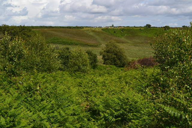
Stag Park Wood is a picturesque woodland located in Hampshire, England. Spanning an area of approximately 300 acres, it is renowned for its natural beauty and diverse ecosystem. The woodland is situated within the larger Stag Park, an expansive estate that has been well-preserved for its conservation value.

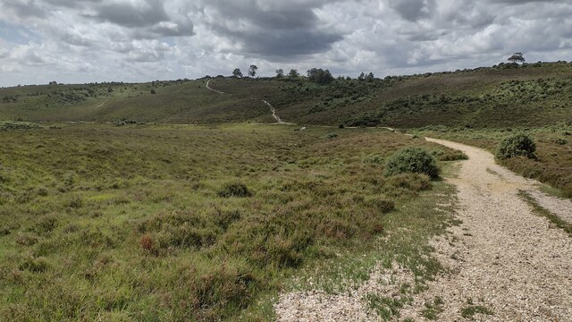
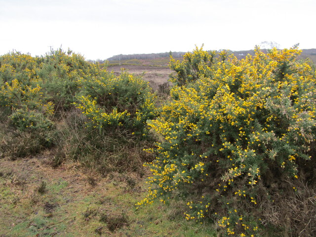
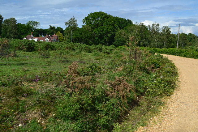
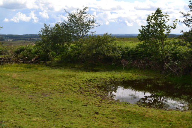
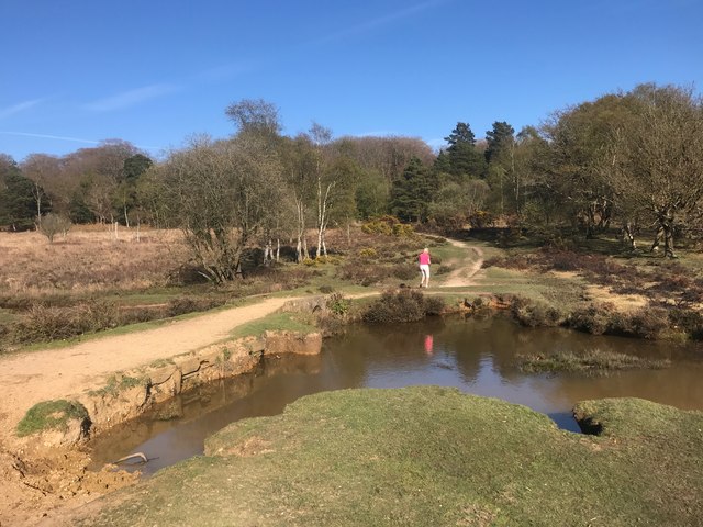
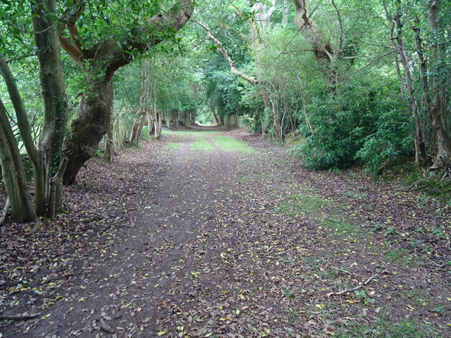
The wood is predominantly composed of mature oak and beech trees, creating a dense canopy that provides shelter and habitat for a variety of wildlife. Walking through the woodland, visitors can expect to come across an array of flora and fauna, including bluebells, primroses, and ferns. The tranquility and peacefulness of the surroundings make it a popular destination for nature lovers and hikers.

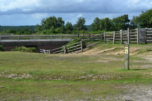
Stag Park Wood is also known for its historical significance. It has been a part of the local landscape for centuries, with evidence of human activity dating back to the Roman period. The wood was once used for timber production and game hunting, hence the name "Stag Park." Today, the woodland is managed by a local conservation trust, which ensures its preservation and protection for future generations.

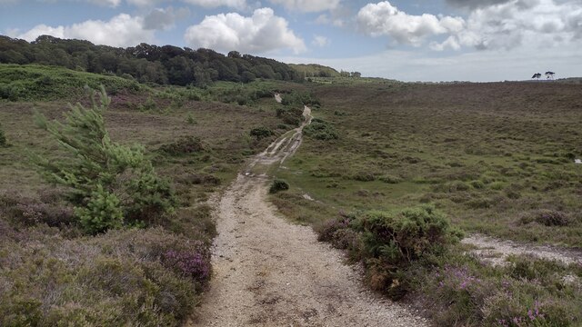
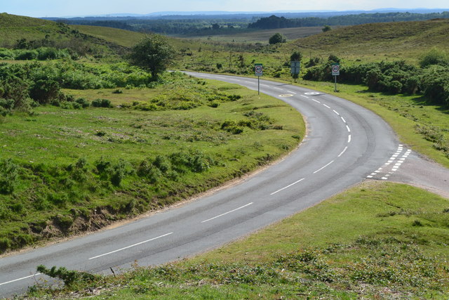
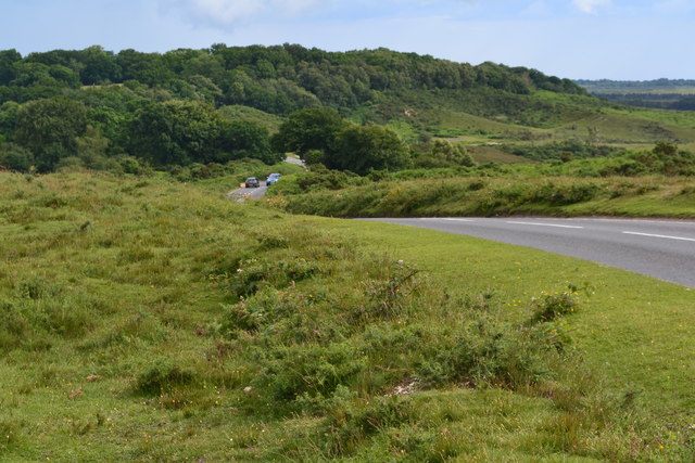
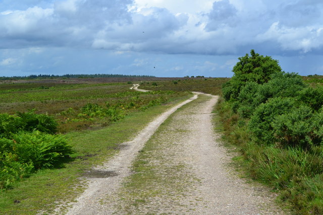
Visitors to Stag Park Wood can enjoy a network of well-maintained footpaths and trails, allowing them to explore the area at their own pace. The wood offers a peaceful retreat from the hustle and bustle of everyday life, providing an opportunity to reconnect with nature and immerse oneself in its beauty. Whether it's a leisurely stroll, birdwatching, or simply finding solace in the peaceful surroundings, Stag Park Wood offers a truly enchanting experience for all who visit.

If you have any feedback on the listing, please let us know in the comments section below.

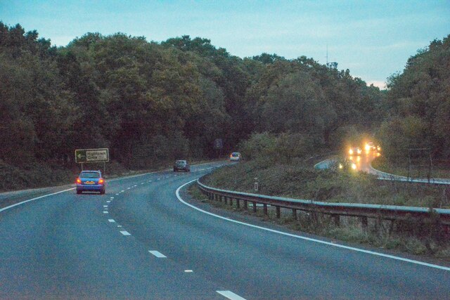
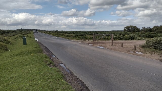
Stag Park Wood Images

Images are sourced within 2km of 50.845273/-1.711303 or Grid Reference SU2005. Thanks to Geograph Open Source API. All images are credited.

Burley : The A31 Looking along the A31 through Burley.
Burley : The A31
Looking along the A31 through Burley.
Road to Picket Post Road to Picket Post passing the parking at Vereley
Road to Picket Post
Road to Picket Post passing the parking at Vereley
Track towards Broad Bottom From Vereley Hill car park the track swings to the left towards Broad Bottom
Track towards Broad Bottom
From Vereley Hill car park the track swings to the left towards Broad Bottom
Path towards Church Moor Near Fort Hill the path towards Church Moor
Path towards Church Moor
Near Fort Hill the path towards Church Moor
Old Guide Stone, Burley Street Peace guidestone by the UC road, in parish of Burley (New Forest District), Burley Street, junction of Castle Hill and Verely Hill, on raised bank.
In 1902 a Benchmark on the stone represented 241 m ASL. Views of the two other faces see <a href="https://www.geograph.org.uk/photo/6043440">SU1904 : Old Guide Stone, Burley Street, Burley Parish</a>.

Inscription reads: To / Ringwood / Rest and be thankful // 
PEACE / Restored / 27th March / 1802 // To / Crow

Grade II listed. List Entry Number: 1094926 <span class="nowrap"><a title="https://historicengland.org.uk/listing/the-list/list-entry/1094926" rel="nofollow ugc noopener" href="https://historicengland.org.uk/listing/the-list/list-entry/1094926">Link</a><img style="margin-left:2px;" alt="External link" title="External link - shift click to open in new window" src="https://s1.geograph.org.uk/img/external.png" width="10" height="10"/></span>

Milestone Society National ID: HA_RILY03P
Old Guide Stone, Burley Street
Peace guidestone by the UC road, in parish of Burley (New Forest District), Burley Street, junction of Castle Hill and Verely Hill, on raised bank. In 1902 a Benchmark on the stone represented 241 m ASL. Views of the two other faces see SU1904 : Old Guide Stone, Burley Street, Burley Parish. Inscription reads: To / Ringwood / Rest and be thankful // PEACE / Restored / 27th March / 1802 // To / Crow Grade II listed. List Entry Number: 1094926 LinkExternal link Milestone Society National ID: HA_RILY03P
Signage - A31 northbound
Vales Moor - Heathland Gorse and heather abound in the New Forest by the Smugglers Road car park.
<span class="nowrap"><a title="www.newforesrnpa.gov.uk" rel="nofollow ugc noopener" href="http://www.newforesrnpa.gov.uk">Link</a><img style="margin-left:2px;" alt="External link" title="External link - shift click to open in new window" src="https://s1.geograph.org.uk/img/external.png" width="10" height="10"/></span>
Vales Moor - Heathland
Gorse and heather abound in the New Forest by the Smugglers Road car park. LinkExternal link
Road junction near Little Castle Common
View towards Castle Hill
Track near Burley Croft
Small pond beside the road on Vereley Hill
View across Foulford Bottom The cars on the skyline are at the viewpoint south of Picket Post.
View across Foulford Bottom
The cars on the skyline are at the viewpoint south of Picket Post.
Path north of Picket Post
Underpass at Picket Post The footpath passes beneath the A31 dual carriageway 150m northeast of the Picket Post junction.
Underpass at Picket Post
The footpath passes beneath the A31 dual carriageway 150m northeast of the Picket Post junction.
Ford at Ridley Bottom This ford on Mill Lawn Brook is found at Ridley Bottom.
Ford at Ridley Bottom
This ford on Mill Lawn Brook is found at Ridley Bottom.
Footpath towards Burley The direct route from Castle Hill.
Footpath towards Burley
The direct route from Castle Hill.
Milestone above Burley Street One of a number erected in 1802 by Thomas Eyre marking the Peace of Amiens. Thankfully the stones outlasted the peace. This one is on a high bank in a grass triangle on the edge of heathland.
Milestone above Burley Street
One of a number erected in 1802 by Thomas Eyre marking the Peace of Amiens. Thankfully the stones outlasted the peace. This one is on a high bank in a grass triangle on the edge of heathland.
Show me another place!

Stag Park Wood is located at Grid Ref: SU2005 (Lat: 50.845273, Lng: -1.711303)

Administrative County: Hampshire

District: New Forest

Police Authority: Hampshire

What 3 Words

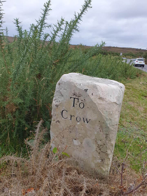
///deranged.fled.explains. Near Burley, Hampshire

Related Wikis

Castle Hill, Hampshire

Castle Hill is the site of an Iron Age univallate hillfort located in the civil parish of Burley in the New Forest national park in Hampshire, England...
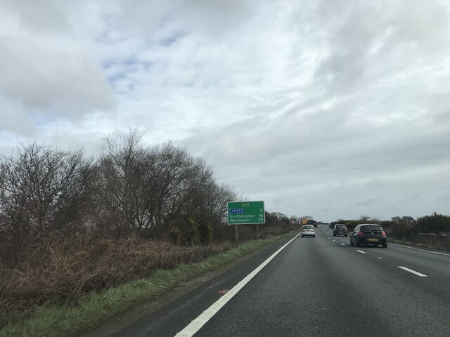
Picket Post

Picket Post is a road junction and service area in the New Forest National Park of Hampshire, England. It lies on the A31 road. == Facilities == Picket...
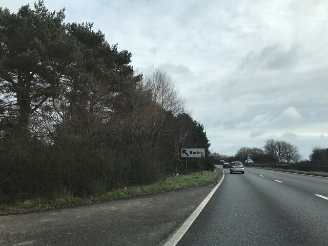
Burley, Hampshire

Burley is a village and civil parish in the New Forest, Hampshire, England. It has ancient origins and is now somewhat tourist-orientated. == The village... ==

Picket Hill

Picket Hill is a hamlet next to Picket Post in the New Forest National Park of Hampshire, England. It lies on the outskirts of Ringwood.

Shobley

Shobley is a small hamlet in the New Forest National Park of Hampshire, England. Its nearest town is Ringwood, which lies approximately 1.8 miles (2.9...

Forest Corner

Forest Corner is a village in the New Forest National Park of Hampshire, England. It is on the A31 road travelling between Southampton and Bournemouth...

Linford, Hampshire

Linford is a hamlet in the New Forest district of Hampshire, England, close to the market town of Ringwood. It is about 1.5 miles east of Ringwood. It...

Hangersley

Hangersley is a hamlet in the New Forest National Park of Hampshire, England. It only lies exactly 1 mile (1.5 km) from Ringwood, its nearest town. �...

Nearby Amenities

Located within 500m of 50.845273,-1.711303
Waterway: weir
Lat/Long: 50.8475698/-1.715341
Ridley Green
Place: locality
Lat/Long: 50.8494317/-1.7089064
Box Berry Hill
Ele: 62
Natural: peak
Lat/Long: 50.8429682/-1.706756
Ford: yes
Lat/Long: 50.8469015/-1.708813
The data included in this document is from www.openstreetmap.org. The data is made available under ODbL.

Have you been to Stag Park Wood?

Leave your review of Stag Park Wood below (or comments, questions and feedback).