Blakemore Covert
Wood, Forest in Gloucestershire Cotswold
England
Blakemore Covert
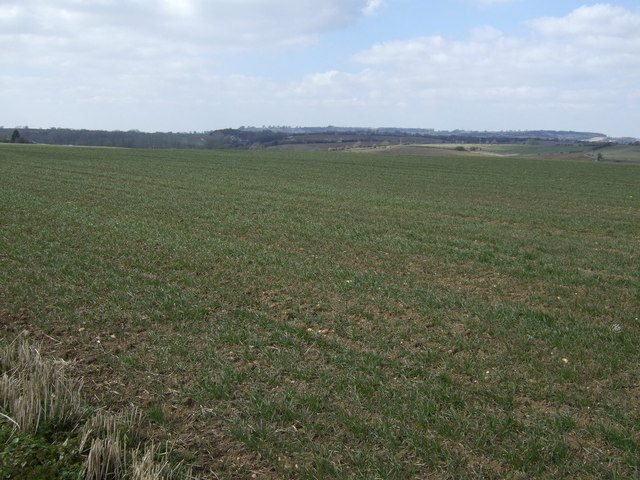
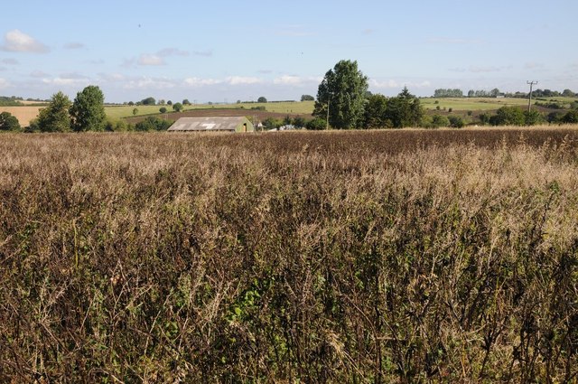
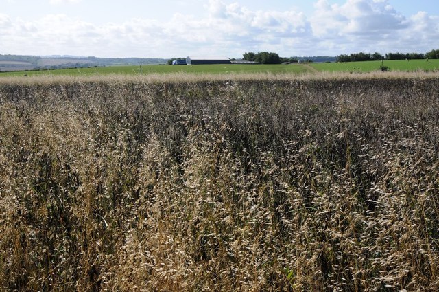
Blakemore Covert is a charming woodland area located in Gloucestershire, England. Situated in the heart of the Forest of Dean, it spans over an approximate area of 200 acres. This idyllic forest is known for its diverse range of tree species, including oak, beech, and ash, creating a beautiful tapestry of green hues throughout the year.
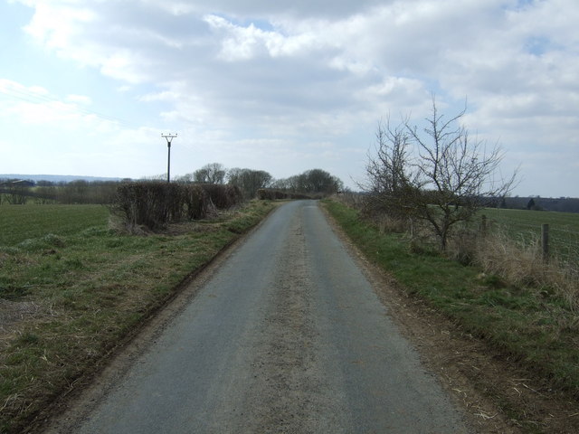
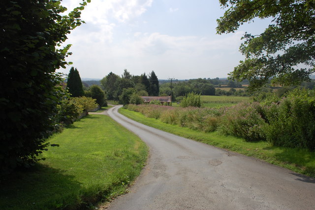
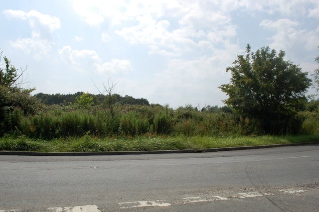
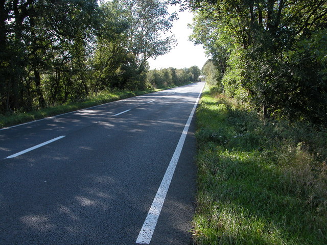
The forest is a haven for nature enthusiasts and outdoor adventurers alike. It offers an array of walking and cycling trails, allowing visitors to explore the natural beauty of the surroundings and immerse themselves in the tranquility of the woodlands. The forest floor is adorned with an abundance of wildflowers and ferns, adding to the area's picturesque appeal.
Blakemore Covert is also home to a variety of wildlife. Birdwatchers can spot species such as woodpeckers, owls, and songbirds, while lucky visitors may even catch a glimpse of elusive deer or foxes roaming through the undergrowth. The forest is a sanctuary for many rare and protected species, making it an important conservation area.
Visitors to Blakemore Covert can make use of the picnic areas scattered throughout the woodland, providing the perfect spot to relax and enjoy a picnic amidst nature's splendor. Additionally, there are several viewpoints and observation platforms strategically placed to offer breathtaking views of the forest and its surroundings.
Blakemore Covert, Gloucestershire, is an enchanting woodland destination that showcases the natural beauty and biodiversity of the Forest of Dean. Whether for a leisurely stroll, a wildlife adventure, or simply a peaceful retreat in nature, this forest provides a serene and captivating experience for all who venture within its borders.
If you have any feedback on the listing, please let us know in the comments section below.
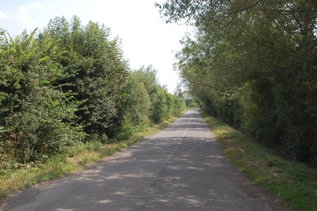
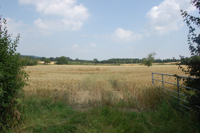
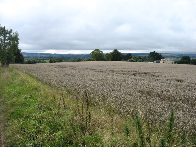
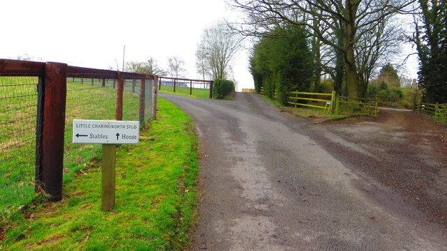
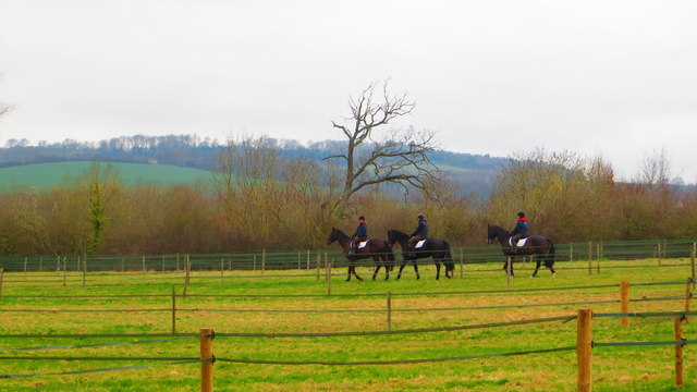
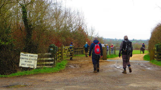
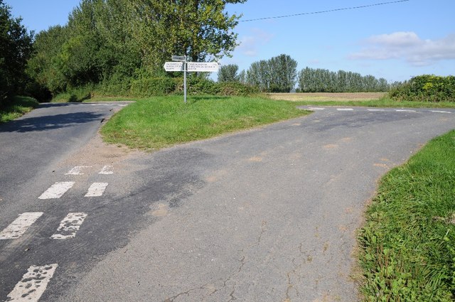
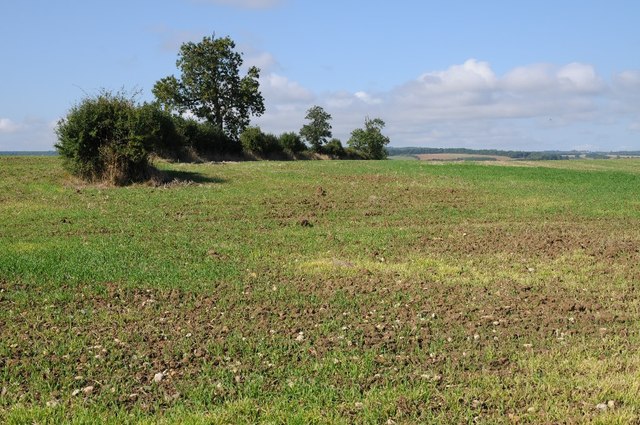
Blakemore Covert Images
Images are sourced within 2km of 52.041691/-1.703637 or Grid Reference SP2038. Thanks to Geograph Open Source API. All images are credited.


Blakemore Covert is located at Grid Ref: SP2038 (Lat: 52.041691, Lng: -1.703637)
Administrative County: Gloucestershire
District: Cotswold
Police Authority: Gloucestershire
What 3 Words
///height.hacking.discrepancy. Near Blockley, Gloucestershire
Nearby Locations
Related Wikis

Upper Ditchford
Upper Ditchford is an abandoned village to the west of the Fosse Way between Moreton-in-Marsh and Stretton on Fosse, now in the county of Gloucestershire...
Stretton-on-Fosse
Stretton-on-Fosse is a village in the Stratford District in Warwickshire, England. It is situated between the towns of Moreton-in-Marsh and Shipston-on...

Blockley railway station
Blockley railway station served the village of Blockley, Gloucestershire, England from 1853 to 1966 on the Oxford, Worcester and Wolverhampton Railway...

Stretton-on-Fosse railway station
Stretton-on-Fosse railway station was a railway station which served the village of Stretton-on-Fosse, Warwickshire, England. It was located north-east...

Aston Magna
Aston Magna is a hamlet located off Fosse Way in north Gloucestershire, England, between Moreton-in-Marsh and Shipston-on-Stour. It forms part of the...
A429 road
The A429 is a main road in England that runs in a north-northeasterly direction from junction 17 of the M4 motorway (4 miles (6.4 km) north of Chippenham...
Wellacre Quarry
Wellacre Quarry (grid reference SP180370) is a 12.3 hectare geological Site of Special Scientific Interest in Gloucestershire, notified in 1974. It is...

Ebrington
Ebrington (known locally as Yabberton or Yubberton) is a village and civil parish in Gloucestershire, England, about 2 miles (3.2 km) from Chipping Campden...
Have you been to Blakemore Covert?
Leave your review of Blakemore Covert below (or comments, questions and feedback).