Row Hill
Hill, Mountain in Hampshire New Forest
England
Row Hill
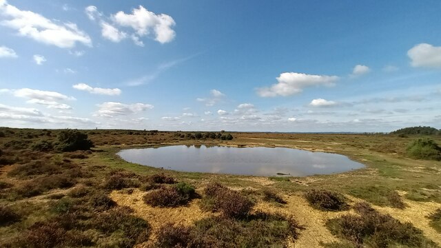
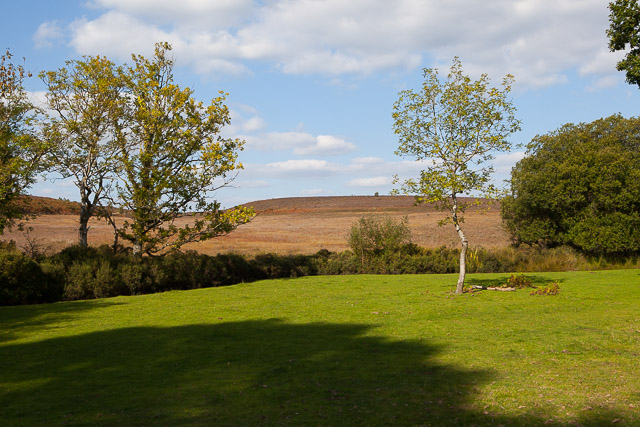
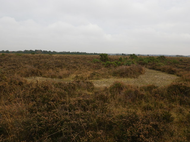
Row Hill is a prominent hill located in the county of Hampshire, England. Situated within the South Downs National Park, it forms part of the larger range of hills known as the Hampshire Downs. With an elevation of approximately 215 meters (705 feet), Row Hill offers breathtaking panoramic views of the surrounding countryside.
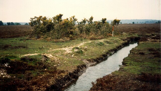
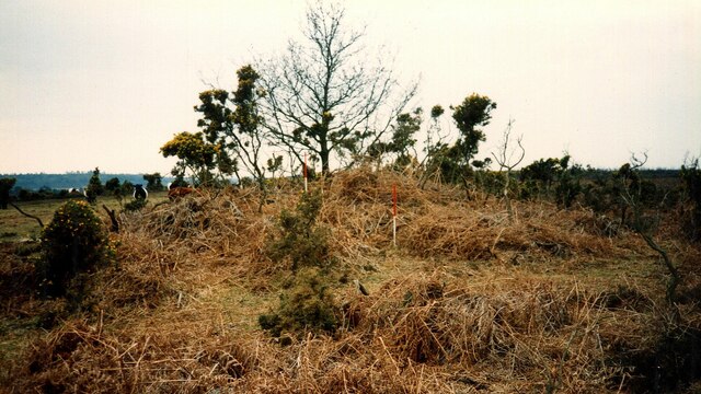
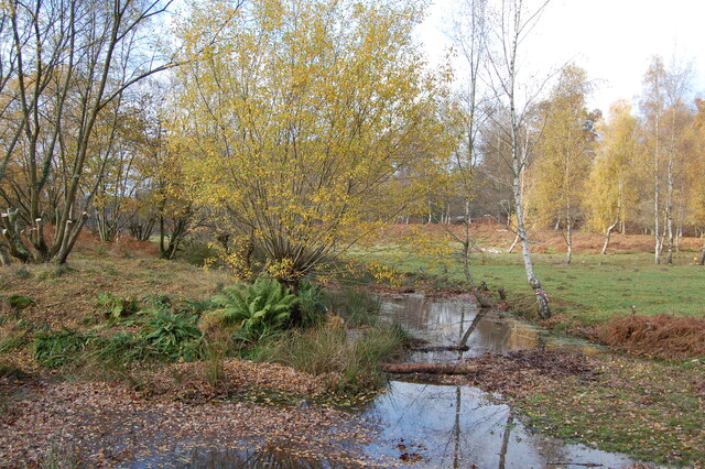
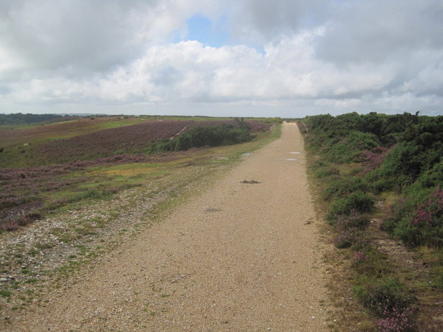
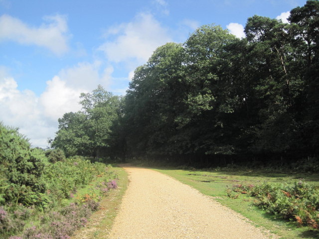
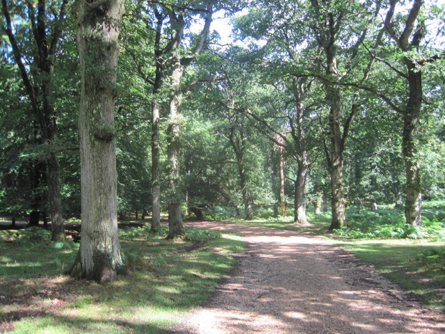
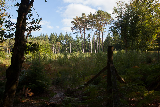
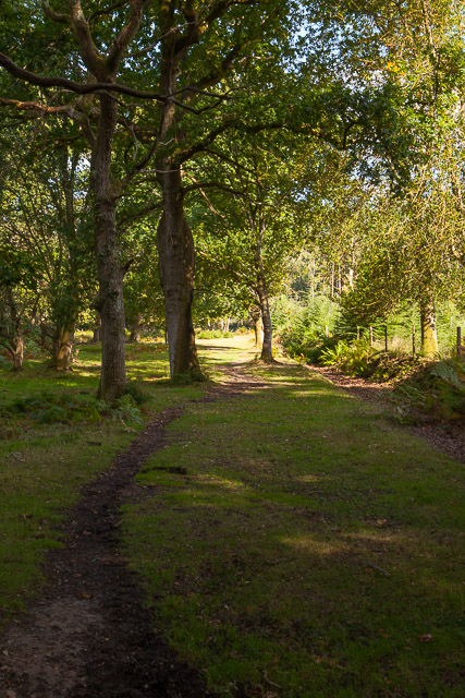
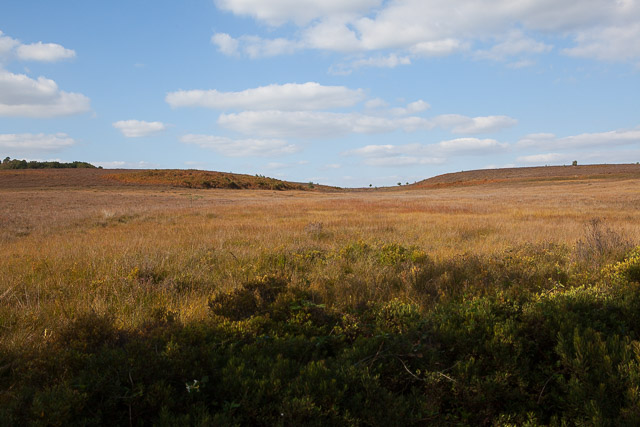
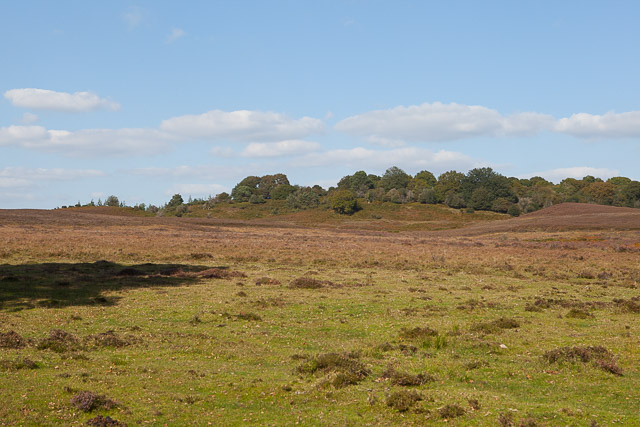
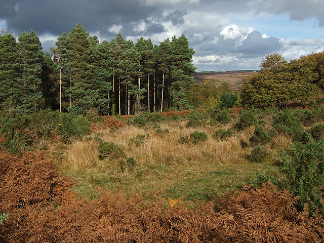
Covered in lush greenery and dotted with patches of woodland, the hill is a haven for nature enthusiasts and hikers alike. Its gentle slopes make it an accessible destination for visitors of all ages and fitness levels. The hill is also home to a diverse range of flora and fauna, including wildflowers, butterflies, and various bird species.
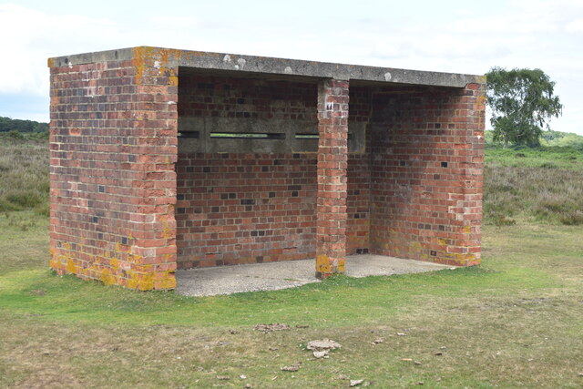
Row Hill is steeped in history and has been inhabited since ancient times. Archaeological evidence suggests that the area was settled as far back as the Neolithic period, with numerous prehistoric artifacts being discovered in the vicinity. The hill also played a significant role during the Roman occupation of Britain, serving as a strategic lookout point and signaling station.
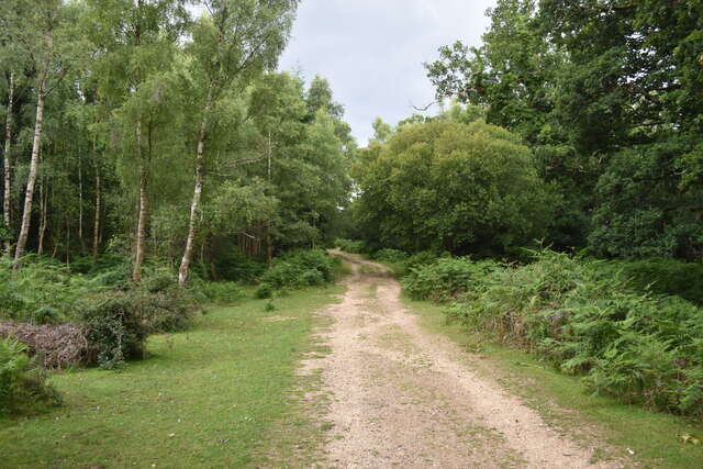
In addition to its natural and historical significance, Row Hill offers a range of recreational activities. The well-maintained footpaths and trails make it an ideal location for walking, jogging, and cycling. The hill is also a popular spot for picnics, providing ample space and stunning views for outdoor gatherings.
Overall, Row Hill is a picturesque and culturally significant landmark in Hampshire. Its natural beauty, rich history, and recreational opportunities make it a must-visit destination for both locals and tourists seeking a tranquil escape in the heart of the South Downs.
If you have any feedback on the listing, please let us know in the comments section below.
Row Hill Images
Images are sourced within 2km of 50.9169/-1.705156 or Grid Reference SU2013. Thanks to Geograph Open Source API. All images are credited.

Row Hill is located at Grid Ref: SU2013 (Lat: 50.9169, Lng: -1.705156)
Administrative County: Hampshire
District: New Forest
Police Authority: Hampshire
What 3 Words
///exam.remembers.float. Near Fordingbridge, Hampshire
Nearby Locations
Related Wikis
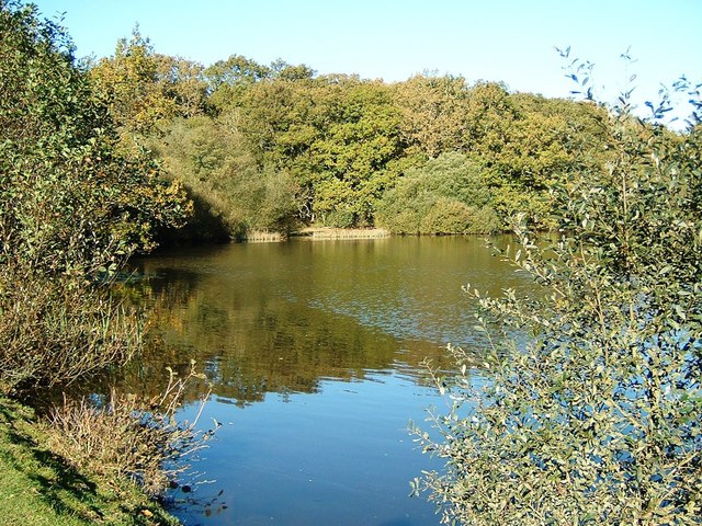
Eyeworth Pond
Eyeworth Pond is a pond located near Fritham in the New Forest, in Hampshire, England. The pond was created in 1871 by damming Latchmore Brook, with the...

Ashley Range
Ashley Range is a former World War II bombing range in the New Forest, Hampshire, England. The range is approximately 5 mi (8.0 km) north-west of Lyndhurst...

Ocknell Plain
Ocknell Plain can be found in the New Forest near Southampton, England. The area was used in World War II for the Stoney Cross airfield and it is now very...

Ogdens
Ogdens is a small hamlet south of Hyde Common near Frogham in the New Forest area of Hampshire, England. Ogdens is a hamlet in the civil parish of Hyde...

RAF Stoney Cross
Royal Air Force Stoney Cross or more simply RAF Stoney Cross is a former Royal Air Force station in the New Forest, Hampshire, England. The airfield is...

Fritham
Fritham is a small village in Hampshire, England. It lies in the north of the New Forest, near the Wiltshire border. It is in the civil parish of Bramshaw...
Blissford
Blissford is a hamlet in the civil parish of Hyde situated in the New Forest National Park in Hampshire, England. Its nearest town is Fordingbridge, which...

Frogham, Hampshire
Frogham is a small village in the New Forest National Park of Hampshire, England. It is in the civil parish of Hyde. Its nearest town is Fordingbridge...
Nearby Amenities
Located within 500m of 50.9169,-1.705156Have you been to Row Hill?
Leave your review of Row Hill below (or comments, questions and feedback).