Abraham Heights
Settlement in Lancashire Lancaster
England
Abraham Heights
Abraham Heights is a small residential area located in the county of Lancashire, England. Situated in the northern part of the county, it is part of the larger urban area of Blackburn with Darwen. The community is nestled on a hillside, providing residents with picturesque views of the surrounding countryside.
Characterized by its peaceful and tranquil atmosphere, Abraham Heights offers a calm retreat from the bustling city life. The area primarily consists of residential properties, ranging from detached houses to semi-detached homes. The architecture in Abraham Heights is diverse, with a mix of modern and traditional styles, allowing for a varied and appealing streetscape.
Residents of Abraham Heights benefit from its convenient location. The nearby town of Blackburn offers a range of amenities, including shops, supermarkets, and leisure facilities. The area is well-connected by road, with easy access to major highways, providing residents with convenient transport links to surrounding towns and cities.
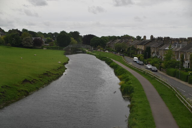
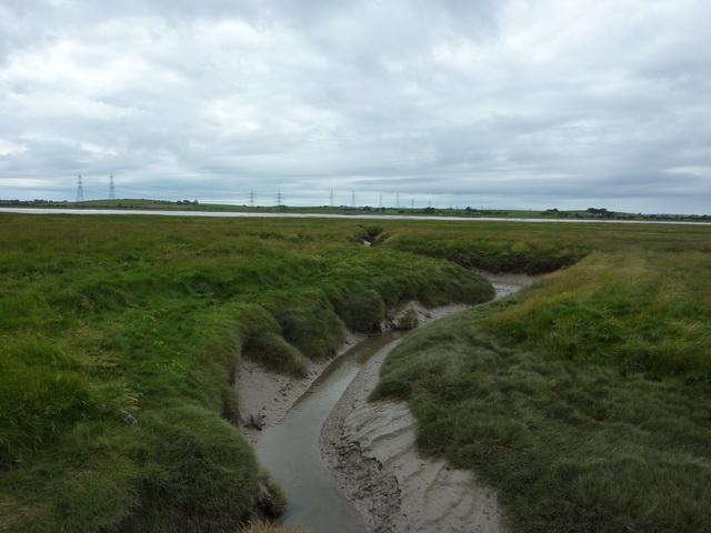
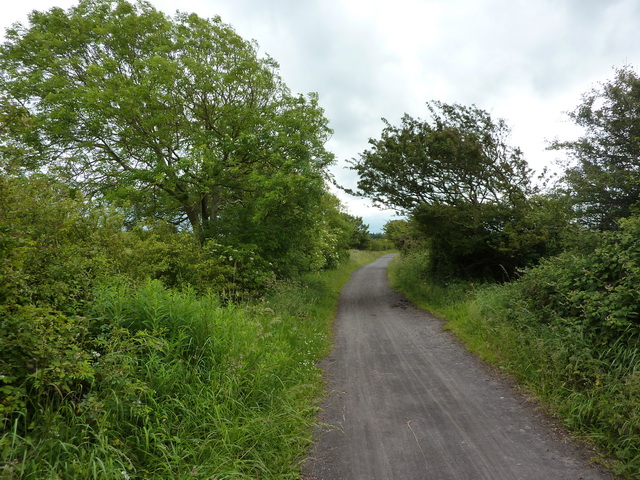
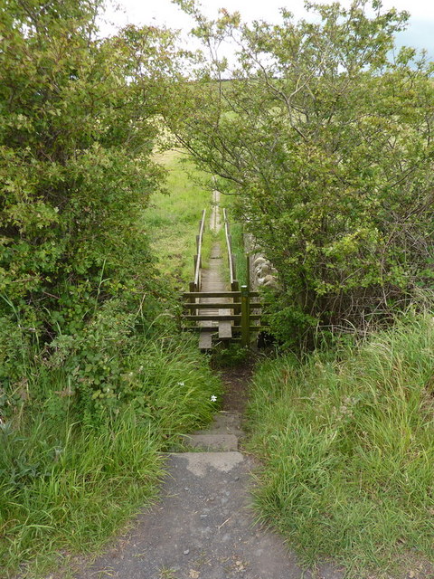
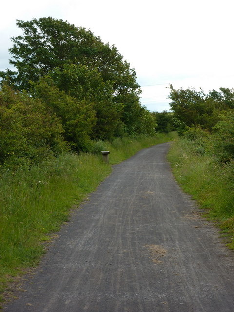
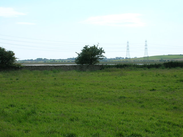
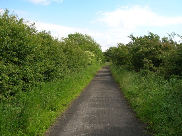
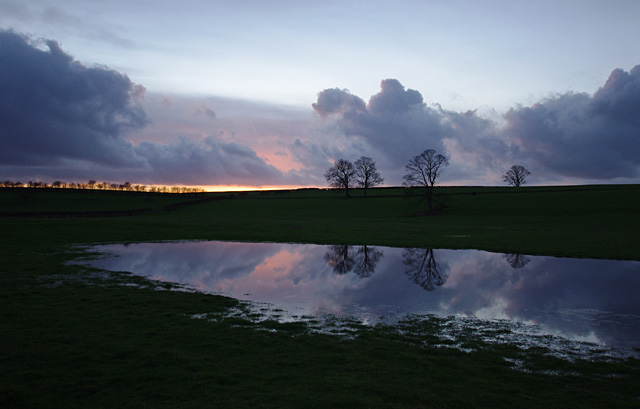
Nature enthusiasts will appreciate the proximity to the stunning Lancashire countryside. Abraham Heights is surrounded by beautiful green spaces and parks, offering opportunities for outdoor activities such as hiking and cycling. The area also boasts several well-maintained public gardens, providing a tranquil setting for relaxation and recreation.
Overall, Abraham Heights presents an attractive residential area in Lancashire, offering a peaceful environment, stunning views, and convenient access to amenities and natural beauty.
If you have any feedback on the listing, please let us know in the comments section below.
Abraham Heights Images
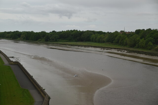
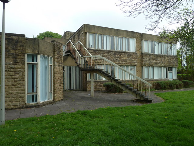
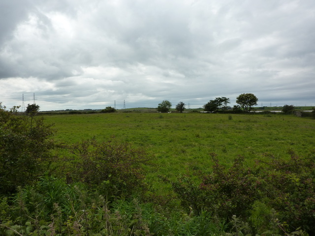
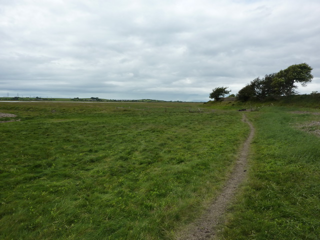
Images are sourced within 2km of 54.044215/-2.817743 or Grid Reference SD4661. Thanks to Geograph Open Source API. All images are credited.


Abraham Heights is located at Grid Ref: SD4661 (Lat: 54.044215, Lng: -2.817743)
Administrative County: Lancashire
District: Lancaster
Police Authority: Lancashire
What 3 Words
///festivity.wash.stays. Near Lancaster, Lancashire
Nearby Locations
Related Wikis

Abraham Heights
Abraham Heights is a suburb of Lancaster, Lancashire, England. == Geography == It is west of the city centre, with the River Lune to the north and west...

Westfield War Memorial Village
Westfield War Memorial Village (established 1924) is a residence in the City of Lancaster, England. Initially created for ex-service men, women and families...

Lancaster Steiner School
Lancaster Steiner School is an independent coeducational school in Lancaster, England, with classes for nursery, kindergarten and grades 1–5. The curriculum...

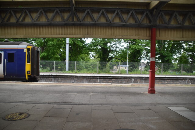
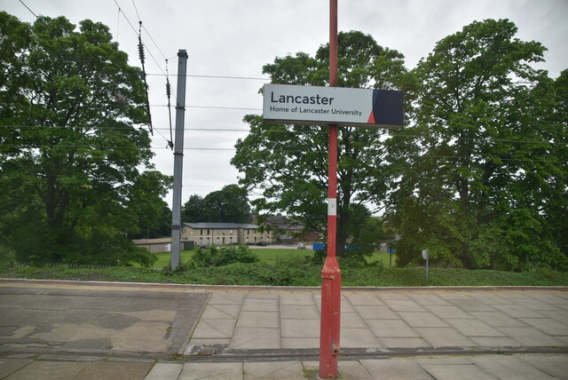
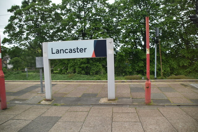
Lancaster railway station
Lancaster railway station (formerly known as Lancaster Castle railway station) is a railway station that serves the city of Lancaster in Lancashire, England...

Friends Meeting House, Lancaster
The Friends Meeting House in Lancaster, Lancashire, England is a Quaker meeting house built in 1708. It is an active Friends meeting house, and a Grade...
Lancaster City F.C.
Lancaster City Football Club is an English semi-professional non-League football club based in the northern city of Lancaster, Lancashire. They currently...
Aldcliffe Hall
Aldcliffe Hall was a 19th-century country house, now demolished, which replaced a previous mediaeval building, on the bank of the Lune estuary in Aldcliffe...

Lune Road Ground
Lune Road Ground is a cricket ground in Lancaster, Lancashire. The ground is situated on the bank of the River Lune. The first recorded match on the...
Nearby Amenities
Located within 500m of 54.044215,-2.817743Have you been to Abraham Heights?
Leave your review of Abraham Heights below (or comments, questions and feedback).