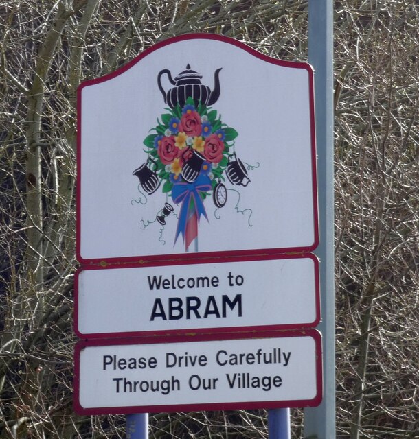
Abram
Settlement in Lancashire
England
Abram
Abram is a small village located in the Metropolitan Borough of Wigan, in the county of Lancashire, England. Situated approximately 3 miles south of Wigan town center, Abram is a predominantly residential area with a population of around 8,000.
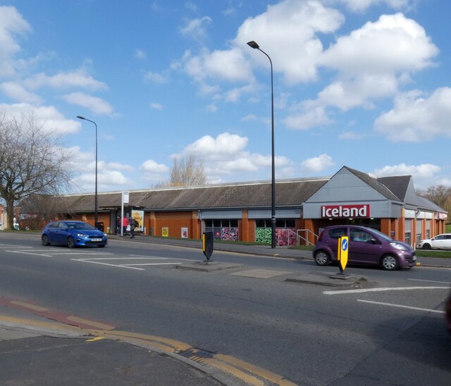
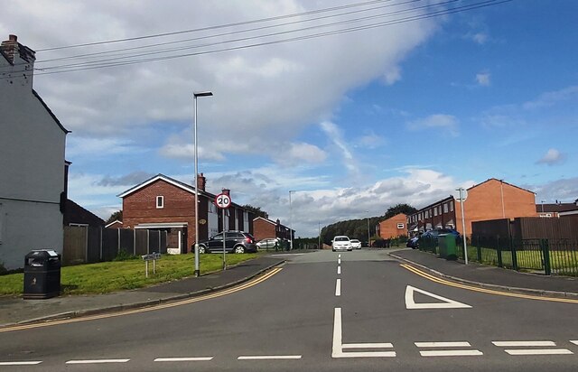
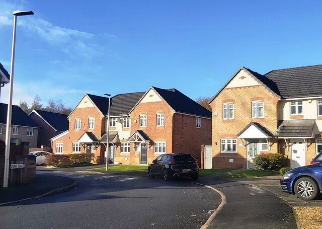
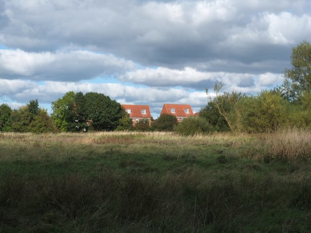
Historically, Abram was primarily an agricultural community, with farming playing a significant role in its economy. Today, however, the village has transitioned into a more suburban area, with a mix of housing estates, local businesses, and amenities.
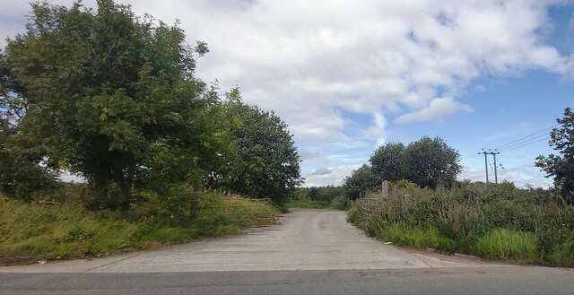
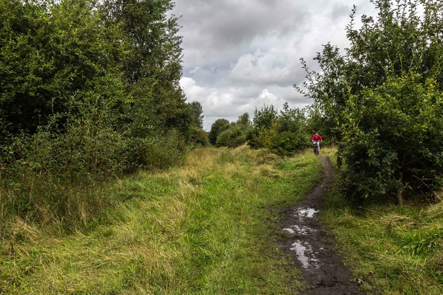
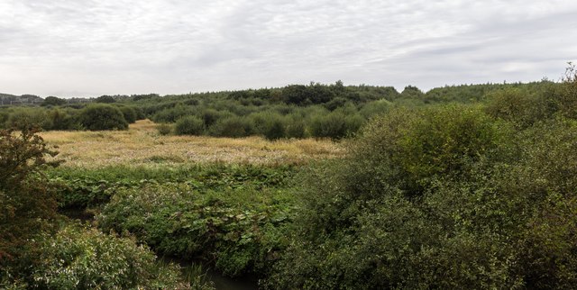
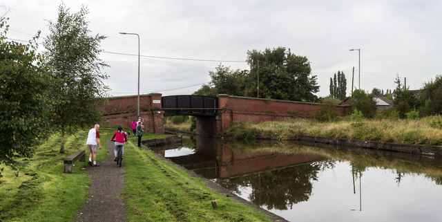
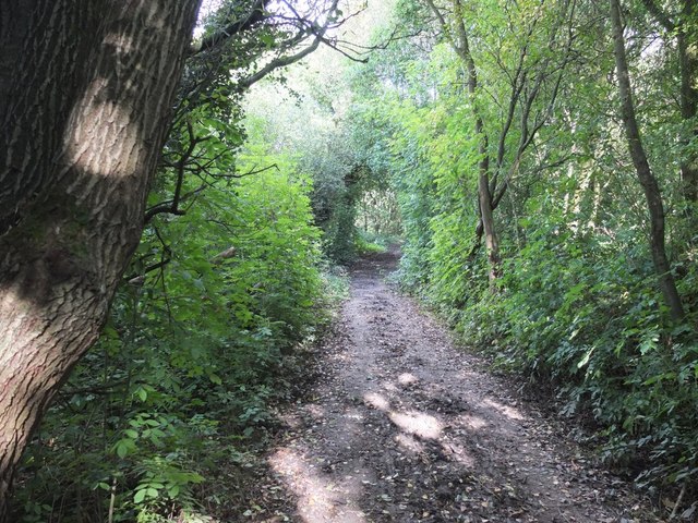
One of the prominent features of Abram is the Leeds and Liverpool Canal, which passes through the village. The canal provides a scenic route for walkers, cyclists, and boaters, attracting visitors from both within and outside the area.
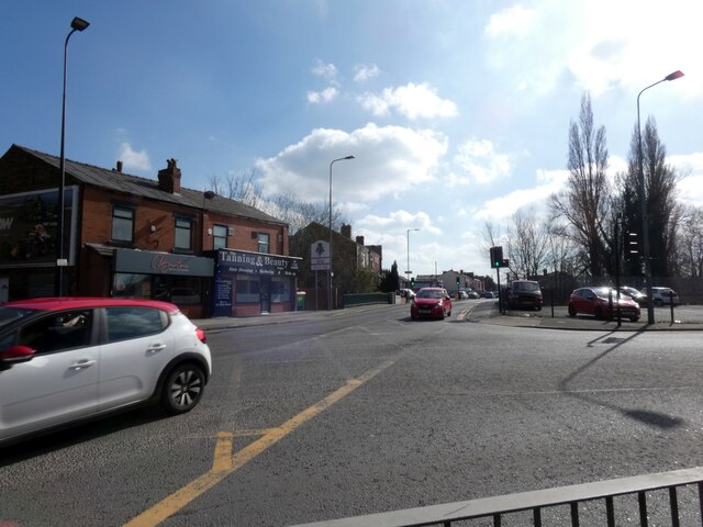
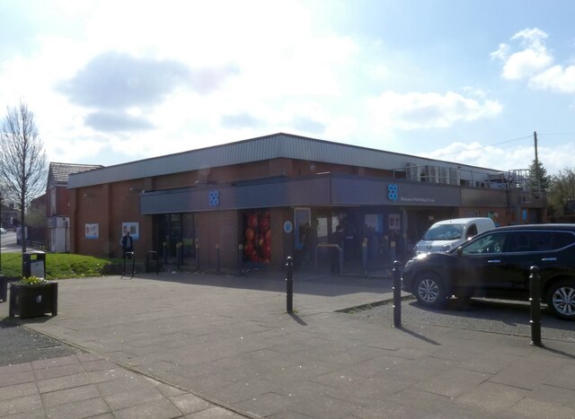
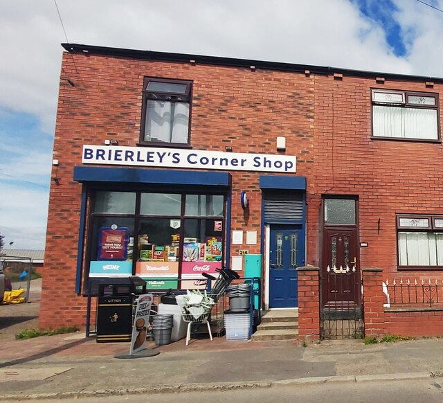
In terms of amenities, Abram offers several local shops, pubs, and restaurants, catering to the needs of its residents. The village is also home to a primary school, providing education for local children.
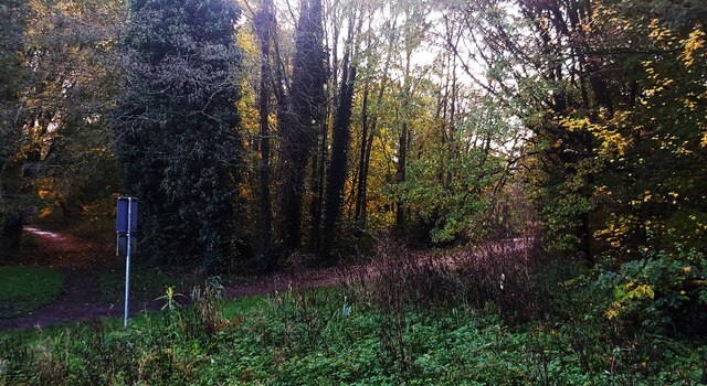
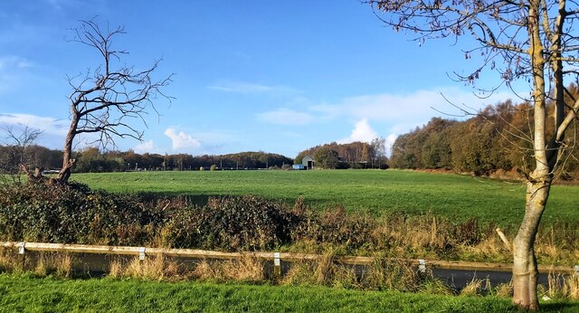
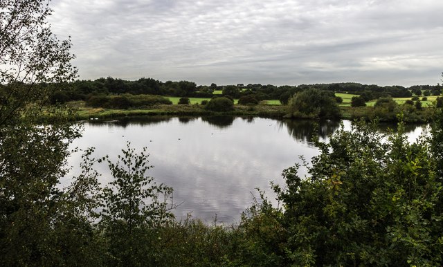
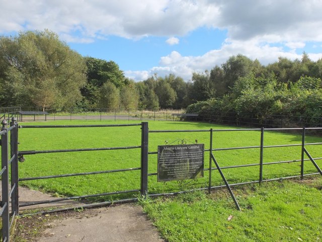
For outdoor enthusiasts, Abram boasts several green spaces, including Abram Park, a popular recreational area with playing fields and a children's play area. The park offers opportunities for outdoor activities and serves as a gathering place for community events and celebrations.
Transport links in Abram are well-connected, with regular bus services to nearby towns and cities, including Wigan and Manchester. The village also benefits from its proximity to major road networks, with the M6 motorway just a short drive away.
Overall, Abram provides a peaceful and well-served residential community, offering a mix of suburban living, local amenities, and access to beautiful countryside surroundings.
If you have any feedback on the listing, please let us know in the comments section below.
Abram Images
Images are sourced within 2km of 53.508693/-2.595571 or Grid Reference SD6001. Thanks to Geograph Open Source API. All images are credited.
Abram is located at Grid Ref: SD6001 (Lat: 53.508693, Lng: -2.595571)
Unitary Authority: Wigan
Police Authority: Greater Manchester
What 3 Words
///easy.navy.excuse. Near Abram, Manchester
Nearby Locations
Related Wikis
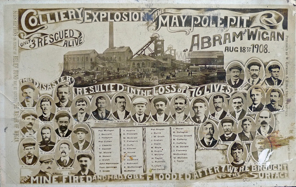
Maypole Colliery disaster
The Maypole Colliery disaster was a mining accident on 18 August 1908, when an underground explosion occurred at the Maypole Colliery, in Abram, near Wigan...

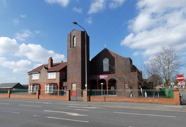
St John the Evangelist's Church, Abram
St John the Evangelist's Church is on Warrington Road in Abram, Wigan, Greater Manchester, England. It is an active Anglican parish church in the deanery...

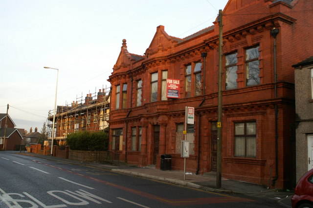
Abram Council Offices
Abram Council Offices is a municipal building in Warrington Road, Abram, Greater Manchester, England. The building is currently used as private apartments...
Abram, Greater Manchester
Abram is a village and electoral ward in the Metropolitan Borough of Wigan, Greater Manchester, England. It lies on flat land on the northeast bank of...

Bamfurlong railway station
Bamfurlong railway station served the village of Bamfurlong part of Abram, to the south of Wigan. == The line before the station == The line was opened...

Bamfurlong, Greater Manchester
Bamfurlong is a small village in the Metropolitan Borough of Wigan, Greater Manchester, England. == Location == It lies approximately 2.6 miles (4.2 km...
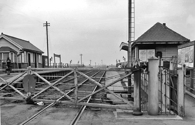
Bickershaw and Abram railway station
Bickershaw and Abram railway station served the communities of Bickershaw and Abram southeast of Wigan, England. == Location and nearby stations == The...

HM Prison Hindley
HM Prison Hindley is a male prison located in the village of Bickershaw (near Wigan) in Greater Manchester, England. Hindley is operated by His Majesty...
Related Videos
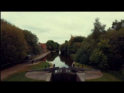
Walking The Canals & Flashes Around Wigan
The canals and flashes around Wigan have been my escape during lockdown. Living in a flat with no garden would have ...
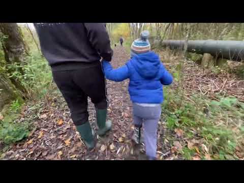
Autumn walk in the park with my family
This is my family. We love to go out, exploring and enjoy nature. The biggest challenge we have is to keep my special needs ...
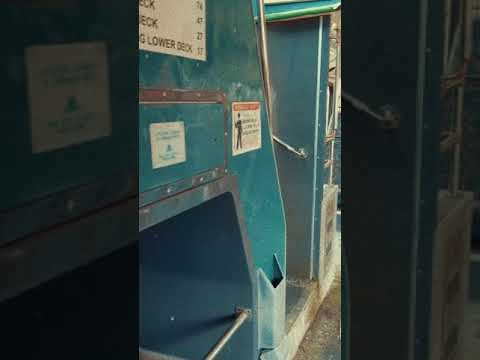
Abandoned Bus Graveyard - #Shorts
Shorts - A short clip from our exploration of an abandoned bus graveyard in #plattbridge #Wigan Full video link ...

Adam Berry Walks: Three Sisters to Wigan Flashes Heritage Loop
Highlights of a walk along the 7 mile Heritage Loop, discovering natural and industrial legacies along the way. All wildlife images ...
Nearby Amenities
Located within 500m of 53.508693,-2.595571Have you been to Abram?
Leave your review of Abram below (or comments, questions and feedback).