Bonfire Hill

Hill, Mountain in Yorkshire Harrogate

England

Bonfire Hill

Drift Lane Walled track leading towards the Drovers Inn, Dallowgill now adopted by the Ripon Rowell Walk.
Drift Lane Credit: Chris Heaton

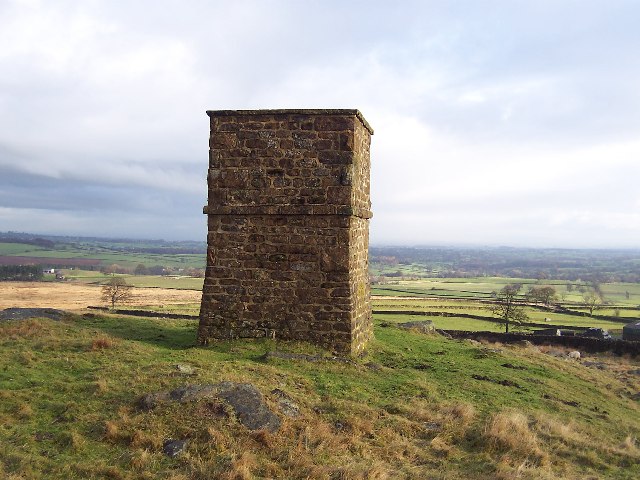
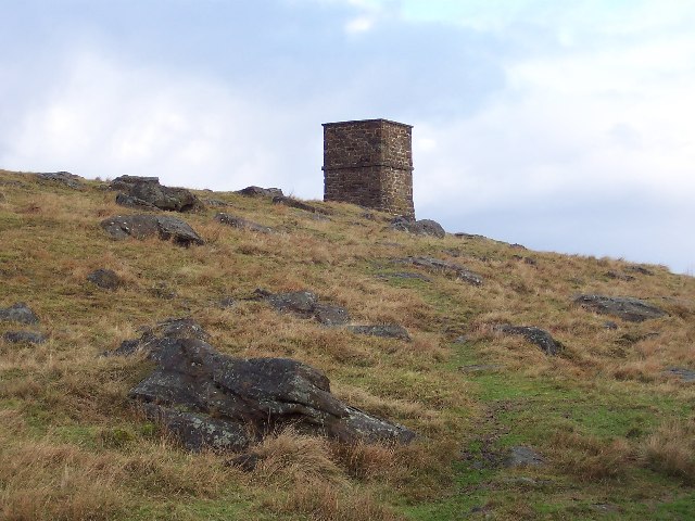
Bonfire Hill is a prominent natural landmark located in the county of Yorkshire, England. Situated within the picturesque Yorkshire Dales, this hill is a popular destination for nature enthusiasts, hikers, and outdoor adventurers. With an elevation of approximately 300 meters (984 feet), Bonfire Hill offers breathtaking panoramic views of the surrounding countryside.

The hill derives its name from the historic tradition of lighting bonfires on its summit during various festivities and celebrations. This age-old practice has been passed down through generations and continues to this day, creating a sense of community and cultural significance.

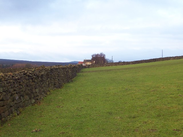
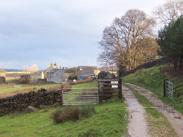
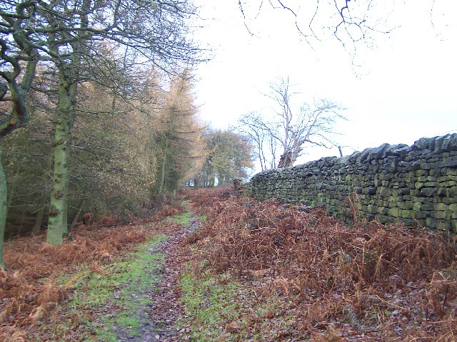
Covered in lush greenery, Bonfire Hill is home to a diverse range of flora and fauna. The hillside is adorned with vibrant wildflowers during the spring and summer months, attracting an array of butterflies and insects. Visitors might also catch glimpses of rabbits, foxes, and a variety of bird species in their natural habitats.

For outdoor enthusiasts, Bonfire Hill offers a plethora of hiking trails, catering to both novice and experienced hikers. The well-maintained paths wind through rolling meadows and woodlands, leading to the hill's summit. Along the way, hikers can enjoy the peaceful sounds of nature and the stunning vistas that unfold with every step.

In conclusion, Bonfire Hill is a beautiful natural landmark in Yorkshire, offering stunning views, rich biodiversity, and a range of recreational opportunities. Whether one seeks adventure, tranquility, or a connection to local traditions, this hill is a must-visit destination for all nature lovers.

If you have any feedback on the listing, please let us know in the comments section below.
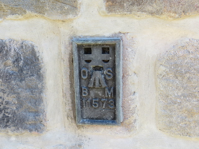
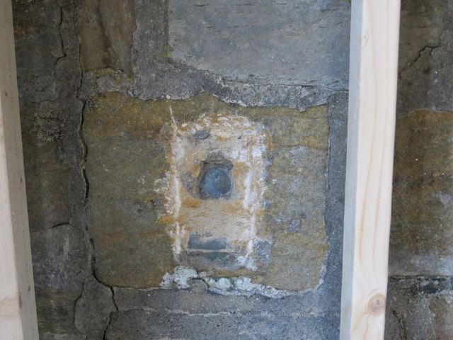
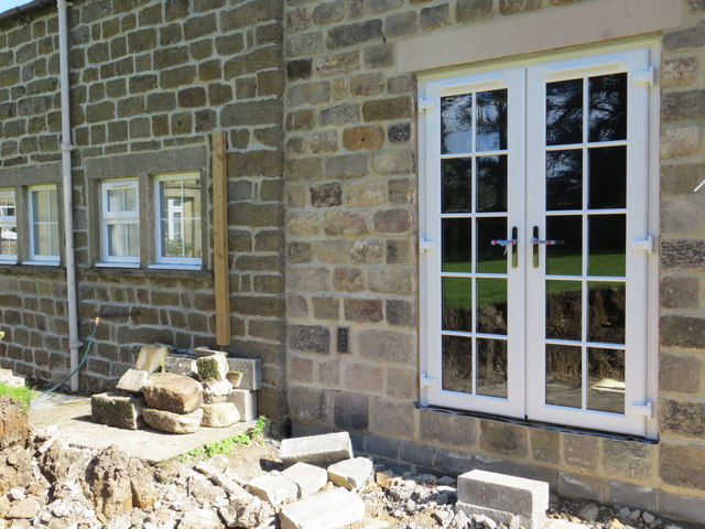
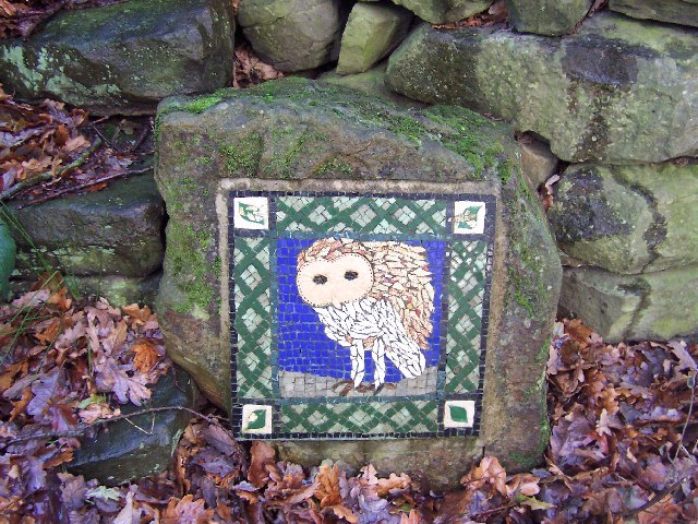
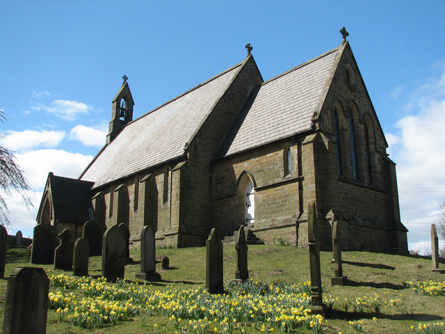
Bonfire Hill Images

Images are sourced within 2km of 54.131713/-1.7002753 or Grid Reference SE1970. Thanks to Geograph Open Source API. All images are credited.

Drift Lane Walled track leading towards the Drovers Inn, Dallowgill now adopted by the Ripon Rowell Walk.
Drift Lane
Walled track leading towards the Drovers Inn, Dallowgill now adopted by the Ripon Rowell Walk.
Road on Skelding Moor Narrow moorland road crossing Skelding Moor - the gorse already starting to flower despite still in the month of January.
Road on Skelding Moor
Narrow moorland road crossing Skelding Moor - the gorse already starting to flower despite still in the month of January.
Road over Skelding Moor to Harper Hill Narrow road from Low Grantley to Harper Hill
Road over Skelding Moor to Harper Hill
Narrow road from Low Grantley to Harper Hill
Skelding Moor Moorland landscape near Grantley
Skelding Moor
Moorland landscape near Grantley
Ordnance Survey Flush Bracket 11573 This re-sited Bracket can be found on the wall of a newly extended building at The Moorhouse - formerly the Drovers Inn.
For more detail see : <span class="nowrap"><a title="http://www.bench-marks.org.uk/bm22378" rel="nofollow ugc noopener" href="http://www.bench-marks.org.uk/bm22378">Link</a><img style="margin-left:2px;" alt="External link" title="External link - shift click to open in new window" src="https://s1.geograph.org.uk/img/external.png" width="10" height="10"/></span>
Ordnance Survey Flush Bracket 11573
This re-sited Bracket can be found on the wall of a newly extended building at The Moorhouse - formerly the Drovers Inn. For more detail see : LinkExternal link
The original location of the now re-sited Ordnance Survey Flush Bracket 11573 The wall of the former Drovers Inn.
For more detail see : <span class="nowrap"><a title="http://www.bench-marks.org.uk/bm22378" rel="nofollow ugc noopener" href="http://www.bench-marks.org.uk/bm22378">Link</a><img style="margin-left:2px;" alt="External link" title="External link - shift click to open in new window" src="https://s1.geograph.org.uk/img/external.png" width="10" height="10"/></span>
The original location of the now re-sited Ordnance Survey Flush Bracket 11573
The wall of the former Drovers Inn. For more detail see : LinkExternal link
New Building at the former Drovers Inn The re-position Ordnance Survey Flush Bracket 11573 is visible on the new wall.
For more detail see : <span class="nowrap"><a title="http://www.bench-marks.org.uk/bm22378" rel="nofollow ugc noopener" href="http://www.bench-marks.org.uk/bm22378">Link</a><img style="margin-left:2px;" alt="External link" title="External link - shift click to open in new window" src="https://s1.geograph.org.uk/img/external.png" width="10" height="10"/></span>
New Building at the former Drovers Inn
The re-position Ordnance Survey Flush Bracket 11573 is visible on the new wall. For more detail see : LinkExternal link
Greygarth Monument Erected to celebrate Queen Victoria's Diamond Jubilee in 1897.  This spot affords tremendous views on a clear day, particularly to the east, over the Vale of York to the White Horse of Kilburn and the North York Moors.
Greygarth Monument
Erected to celebrate Queen Victoria's Diamond Jubilee in 1897. This spot affords tremendous views on a clear day, particularly to the east, over the Vale of York to the White Horse of Kilburn and the North York Moors.
Approach to Greygarth Monument There is a right of way over Greygarth Hill to reach the monument from the west.
Approach to Greygarth Monument
There is a right of way over Greygarth Hill to reach the monument from the west.
Approaching Bents House Crossing upland pastures from the east, above the valley of Dallowgill to reach the farm known as Bents House
Approaching Bents House
Crossing upland pastures from the east, above the valley of Dallowgill to reach the farm known as Bents House
Dallow Collection of houses that make up the hamlet of Dallow, from the west.
Dallow
Collection of houses that make up the hamlet of Dallow, from the west.
Woods in Dallowgill
Woods in Dallowgill
Art near Stang Brae, Dallowgill Supplemental, I agree.  The area around Dallowgill has several of these mosaics in odd places, almost like a treasure hunt.  Someone with an artistic flair has gone to much trouble.
Art near Stang Brae, Dallowgill
Supplemental, I agree. The area around Dallowgill has several of these mosaics in odd places, almost like a treasure hunt. Someone with an artistic flair has gone to much trouble.
Saint Peter's Church, Dallowgill. A springtime view of a secluded chapel within Southern Nidderdale.
Saint Peter's Church, Dallowgill.
A springtime view of a secluded chapel within Southern Nidderdale.
Saint Peter's Church Lovely little church far from any large concentrations of population.
Saint Peter's Church
Lovely little church far from any large concentrations of population.
Mechanised Shepherd, Dallow Moor Modern shepherd herding his sheep off the moor, and following this track to Harper Hill
Mechanised Shepherd, Dallow Moor
Modern shepherd herding his sheep off the moor, and following this track to Harper Hill
Tracks on Harper Hill Junction of tracks - the one to the left leads to Dallow Moor, while the other one heads for Wake Hill
Tracks on Harper Hill
Junction of tracks - the one to the left leads to Dallow Moor, while the other one heads for Wake Hill
An hillside Farm One of many hill farms in this area.
An hillside Farm
One of many hill farms in this area.
Show me another place!

Bonfire Hill is located at Grid Ref: SE1970 (Lat: 54.131713, Lng: -1.7002753)

Division: West Riding

Administrative County: North Yorkshire

District: Harrogate

Police Authority: North Yorkshire

What 3 Words

///ordeals.leaky.overpaid. Near Pateley Bridge, North Yorkshire

Related Wikis

Skelding, North Yorkshire

Skelding is a civil parish in North Yorkshire, England. It lies 6 miles (10 km) west of Ripon, on the north bank of the River Skell. There is no village...

Dallowgill

Dallowgill (historically also Dallaghill) is a village in Harrogate district in North Yorkshire, England. It consists of a number of scattered settlements...

Grantley, North Yorkshire

Grantley is a village (also known as High Grantley) and civil parish in North Yorkshire, England. It lies 5 miles (8 km) west of Ripon. The parish also...

High and Low Bishopside

High and Low Bishopside is a civil parish in Nidderdale in the Harrogate district, in the county of North Yorkshire, England. It includes the town of Pateley...

Nearby Amenities

Located within 500m of 54.131713,-1.7002753
Blaythorn Hill
Natural: peak
Source: OS 1:25k
Lat/Long: 54.1290534/-1.696785
Coal Hill
Natural: peak
Source: OS 1:25k
Lat/Long: 54.1340013/-1.696255
old shaft
Historic: mine_shaft
Mineral: coal?
Source: OS 1:25k
Lat/Long: 54.1323915/-1.6946242
Bonfire Hill
Natural: peak
Source: OS 1:25k
Lat/Long: 54.1312228/-1.7007826
old shaft
Historic: mine_shaft
Mineral: coal?
Source: OS 1:25k
Lat/Long: 54.1324172/-1.696255
Place: farm
Lat/Long: 54.1322082/-1.7030619
Building: yes
Lat/Long: 54.1304355/-1.7041562
Harper Hill
Place: farm
Lat/Long: 54.1281527/-1.701076
The data included in this document is from www.openstreetmap.org. The data is made available under ODbL.

Have you been to Bonfire Hill?

Leave your review of Bonfire Hill below (or comments, questions and feedback).