Kiln Hill

Hill, Mountain in Yorkshire

England

Kiln Hill

Bullhouse Railway Bridge OS BM on old Railway Bridge west of Bullhouse 
SE 2059 0256
Bullhouse Railway Bridge Credit: mralrule

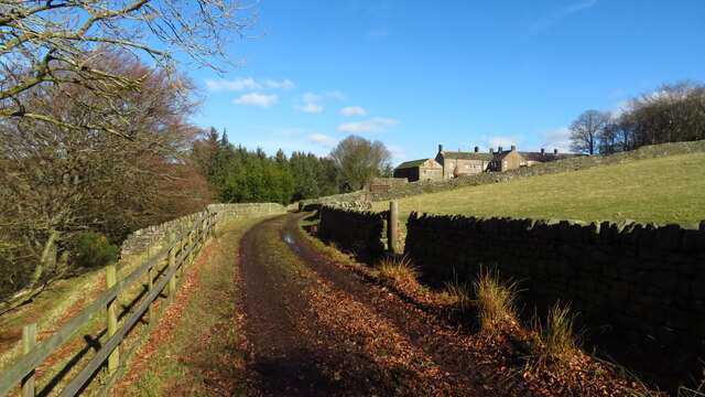
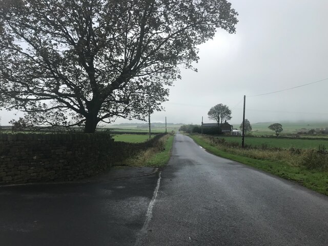
Kiln Hill is a picturesque hill located in the region of Yorkshire, England. Situated in the heart of the Yorkshire Dales, it is known for its natural beauty and stunning panoramic views. Although not classified as a mountain, Kiln Hill stands at an impressive elevation of approximately 500 meters, making it a prominent feature in the surrounding landscape.

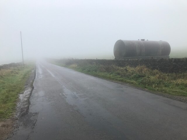
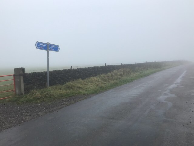
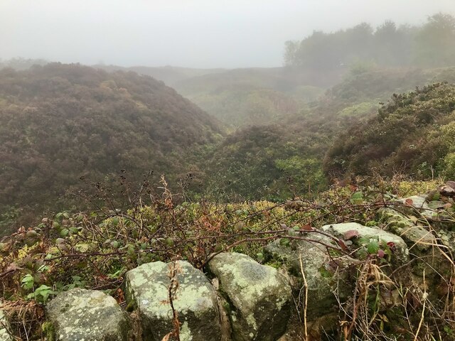
Covered in lush greenery, Kiln Hill is home to a diverse range of flora and fauna, adding to its charm and appeal for nature enthusiasts. The hill is particularly famous for its heather moorland, which creates a vibrant purple carpet during the summer months. Additionally, the area is dotted with ancient stone walls, adding a touch of historical significance to the landscape.

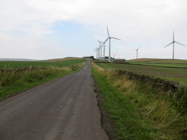
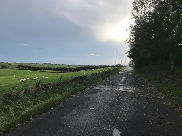
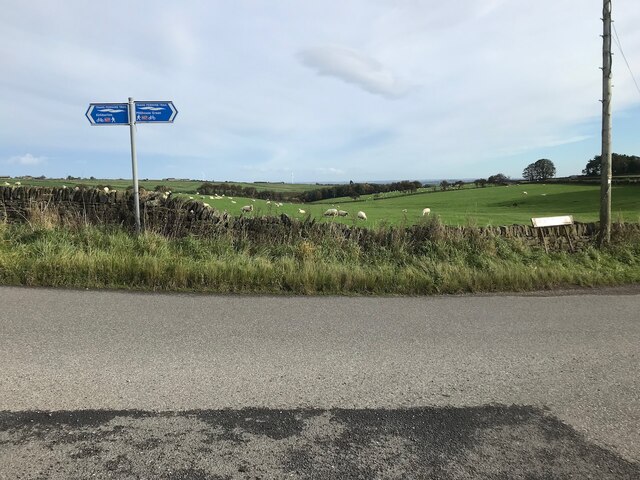
The summit of Kiln Hill offers breathtaking vistas of the rolling hills and valleys that encompass the Yorkshire Dales. On a clear day, visitors can see for miles, taking in the beauty of the surrounding countryside. It is a popular spot for hikers and walkers, who can enjoy a variety of trails that wind their way up the hill, providing ample opportunities to soak in the stunning scenery.

In addition to its natural beauty, Kiln Hill is also known for its connection to local folklore. Legend has it that the hill is home to mystical creatures and hidden treasures, adding an element of intrigue and mystery to the area.

Overall, Kiln Hill is a must-visit destination for those seeking to experience the natural splendor of Yorkshire. Its captivating views, rich biodiversity, and historical significance make it a truly enchanting location.

If you have any feedback on the listing, please let us know in the comments section below.
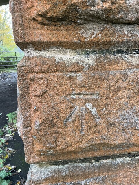
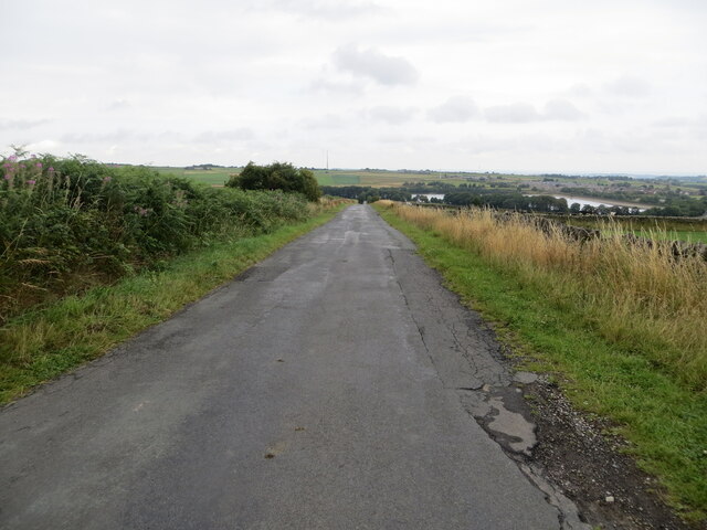
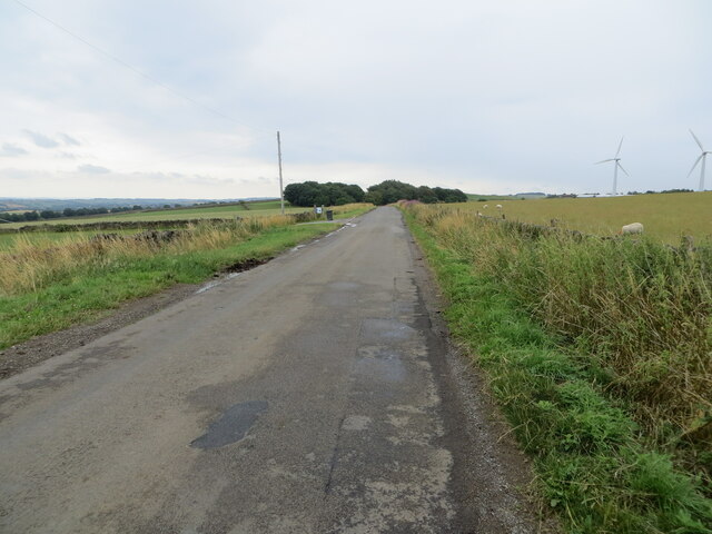
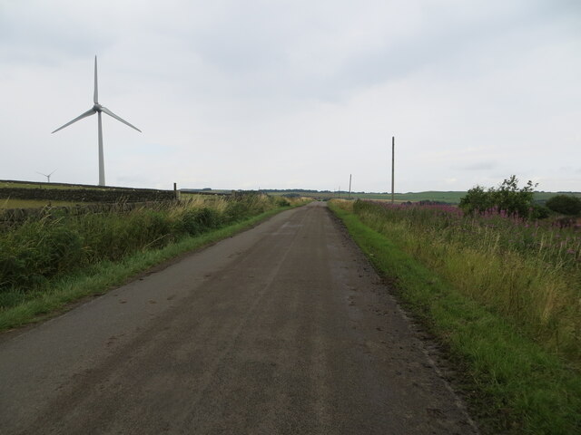
Kiln Hill Images

Images are sourced within 2km of 53.533792/-1.7045857 or Grid Reference SE1904. Thanks to Geograph Open Source API. All images are credited.

Bullhouse Railway Bridge OS BM on old Railway Bridge west of Bullhouse 
SE 2059 0256
Bullhouse Railway Bridge
OS BM on old Railway Bridge west of Bullhouse SE 2059 0256
Annat Royd Lane, Ingbirchworth Moor Looking north-eastward, Ingbirchworth Reservoir can be seen in the far distance.
Annat Royd Lane, Ingbirchworth Moor
Looking north-eastward, Ingbirchworth Reservoir can be seen in the far distance.
Spicer House Lane near Annat Royd Farm Looking south-eastward.
Spicer House Lane near Annat Royd Farm
Looking south-eastward.
Spicer House Lane beside a Wind Turbine on Spicer Hill Looking north-westward.
Spicer House Lane beside a Wind Turbine on Spicer Hill
Looking north-westward.
Whitley Road and Wind Turbines on Spicer Hill Looking north-westward.
Whitley Road and Wind Turbines on Spicer Hill
Looking north-westward.
Royd Moor wind farm
Royd Moor wind farm
Ordnance Survey Cut Mark This mark can be found on a gatepost beside Spicer House Land, Royd Moor.
The recorded detail s give a height of 322.7649 metres above sea level.
For more detail see : <span class="nowrap"><a title="https://www.bench-marks.org.uk/bm91191" rel="nofollow ugc noopener" href="https://www.bench-marks.org.uk/bm91191">Link</a><img style="margin-left:2px;" alt="External link" title="External link - shift click to open in new window" src="https://s1.geograph.org.uk/img/external.png" width="10" height="10"/></span>
Ordnance Survey Cut Mark
This mark can be found on a gatepost beside Spicer House Land, Royd Moor. The recorded detail s give a height of 322.7649 metres above sea level. For more detail see : LinkExternal link
Ordnance Survey Cut Mark This mark can be found on a gatepost beside Whitley Road, Spicer Hill.
The recorded details give a height of 329.5163 metres above sea level.
For more detail see : <span class="nowrap"><a title="https://www.bench-marks.org.uk/bm91229" rel="nofollow ugc noopener" href="https://www.bench-marks.org.uk/bm91229">Link</a><img style="margin-left:2px;" alt="External link" title="External link - shift click to open in new window" src="https://s1.geograph.org.uk/img/external.png" width="10" height="10"/></span>
Ordnance Survey Cut Mark
This mark can be found on a gatepost beside Whitley Road, Spicer Hill. The recorded details give a height of 329.5163 metres above sea level. For more detail see : LinkExternal link
Track west of Bullhouse Hall near Millhouse Green
Spicer House Lane Looking toward Brown's Edge Farm from the entrance to what is now called Spicer Manor.
Spicer House Lane
Looking toward Brown's Edge Farm from the entrance to what is now called Spicer Manor.
Spicer House Lane On a very damp and gloomy October morning
Spicer House Lane
On a very damp and gloomy October morning
Cycle route sign on Spicer House Lane At the south end of Annat Royd Lane. Showing which direction to go for National Cycle Network Route 627 and the Trans-Pennine Trail.
Cycle route sign on Spicer House Lane
At the south end of Annat Royd Lane. Showing which direction to go for National Cycle Network Route 627 and the Trans-Pennine Trail.
The former Annat Royd Quarry A small bit of nature in a landscape dominated by sheep-grazed grass fields.
The former Annat Royd Quarry
A small bit of nature in a landscape dominated by sheep-grazed grass fields.
Horn Lane On the left miles and miles of sheep-grazed grass fields.
Horn Lane
On the left miles and miles of sheep-grazed grass fields.
Walls in the mist View from Annat Royd Lane
Walls in the mist
View from Annat Royd Lane
Cycle route signs For The Trans-Pennine Trail and NCN route 627.
Cycle route signs
For The Trans-Pennine Trail and NCN route 627.
Spicer Manor (formally Spicer House) Now an event venue.  <a href="https://www.geograph.org.uk/photo/2758286">SE2005 : Building works at Spicer House</a> shows the conversion underway.
Spicer Manor (formally Spicer House)
Now an event venue. SE2005 : Building works at Spicer House shows the conversion underway.
Wind turbine and tree
Show me another place!

Kiln Hill is located at Grid Ref: SE1904 (Lat: 53.533792, Lng: -1.7045857)

Division: West Riding

Unitary Authority: Barnsley

Police Authority: South Yorkshire

What 3 Words

///noting.wording.detonated. Near Penistone, South Yorkshire

Related Wikis

Catshaw

Catshaw is a hamlet in the western parts of Penistone, in the Barnsley district, in the county of South Yorkshire, England. It lies about 0.9 miles (1...
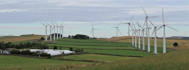
Royd Moor Wind Farm

The Royd Moor Wind Farm is located at Penistone, Barnsley, South Yorkshire, England, and consists of thirteen 450 kW turbines. The site is located approximately...

Crow Edge

Crow Edge is a hamlet in Dunford civil parish, situated on the A616, two miles southeast of Hepworth, West Yorkshire in the metropolitan borough of Barnsley...

Hazlehead Bridge railway station

Hazlehead Bridge railway station was a railway station on the Sheffield, Ashton-under-Lyne and Manchester Railway's Woodhead Line. It served villages scattered...

Carlecotes

Carlecotes is a village in the metropolitan borough of Barnsley in South Yorkshire, England. Carlecotes is within Dunford civil parish. The village is...

Millhouse Green

Millhouse Green is a village on the north banks of the River Don on the A628 road west of Penistone in the English county of South Yorkshire. Administratively...

Dunford

Dunford is a civil parish in the Metropolitan Borough of Barnsley, 14.5 miles (23.3 km) northwest of Sheffield in South Yorkshire, England. It lies in...

Ingbirchworth

Ingbirchworth is a village and former civil parish, now in the parish of Gunthwaite and Ingbirchworth, in the Barnsley district, in the county of South...

Nearby Amenities

Located within 500m of 53.533792,-1.7045857
Barrier: kissing_gate
Lat/Long: 53.5377578/-1.7080264
Barrier: stile
Stile: ladder
Lat/Long: 53.5365336/-1.710354
Ford: yes
Lat/Long: 53.5360115/-1.7083645
The data included in this document is from www.openstreetmap.org. The data is made available under ODbL.

Have you been to Kiln Hill?

Leave your review of Kiln Hill below (or comments, questions and feedback).