Blaythorn Hill

Hill, Mountain in Yorkshire Harrogate

England

Blaythorn Hill

Drift Lane Walled track leading towards the Drovers Inn, Dallowgill now adopted by the Ripon Rowell Walk.
Drift Lane Credit: Chris Heaton

Blaythorn Hill is a prominent natural landmark located in the county of Yorkshire, England. Situated in the northern part of the county, it is part of the Pennines mountain range and stands at an elevation of approximately 500 meters (1,640 feet) above sea level. The hill is known for its commanding presence in the surrounding landscape, offering breathtaking views of the surrounding countryside.

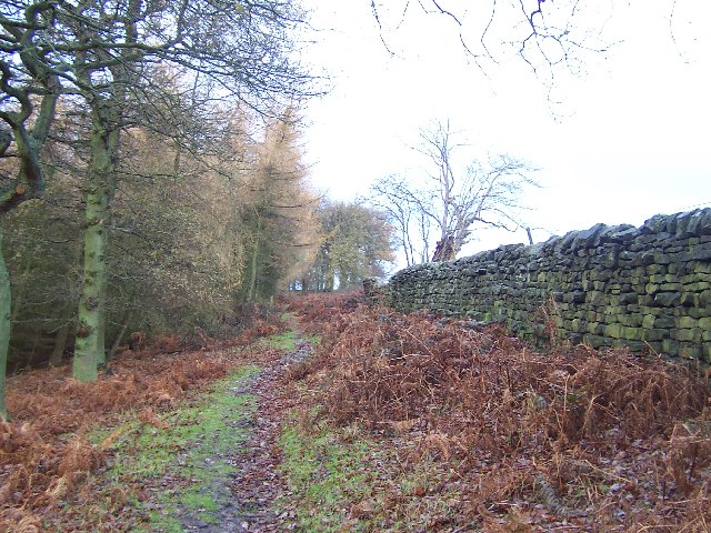
Covered in a patchwork of green fields and interspersed with rocky outcrops, Blaythorn Hill is a popular destination for hikers, nature enthusiasts, and photographers. Its well-defined trails cater to various skill levels, providing ample opportunities for both leisurely walks and challenging hikes. The summit rewards visitors with panoramic vistas, stretching across the rolling hills and valleys of Yorkshire.

Blaythorn Hill boasts a rich natural diversity, with a variety of flora and fauna calling it home. The hillside is adorned with heather, gorse, and wildflowers, creating a vibrant tapestry of colors during the summer months. Wildlife such as rabbits, hares, and birds can often be spotted darting amongst the vegetation.

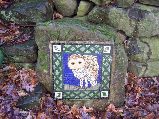
In addition to its natural beauty, Blaythorn Hill holds historical significance. The area is dotted with remnants of ancient settlements and burial sites, providing a glimpse into the region's past. Archaeologists have unearthed artifacts and remains dating back thousands of years, shedding light on the rich history of human habitation in the area.

Blaythorn Hill's combination of natural beauty, recreational opportunities, and cultural heritage make it a cherished destination for locals and visitors alike. Whether one seeks solitude in nature or a challenging outdoor adventure, this Yorkshire landmark offers an unforgettable experience for all who explore its slopes.

If you have any feedback on the listing, please let us know in the comments section below.

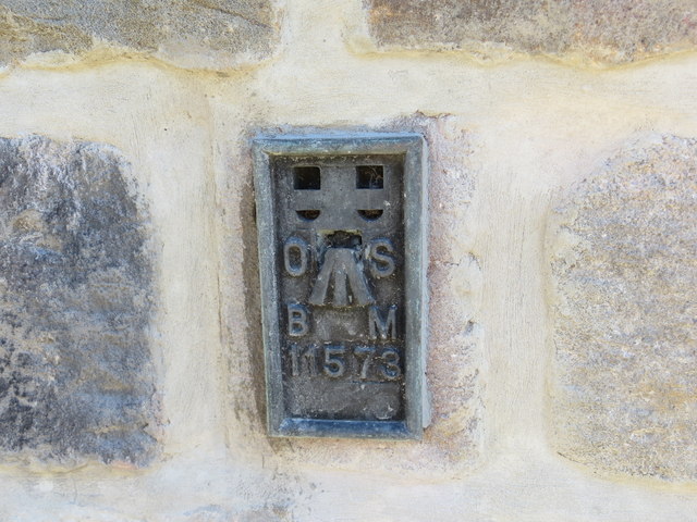
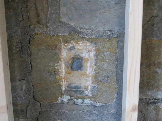
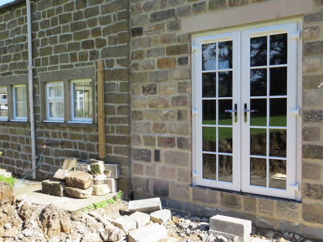
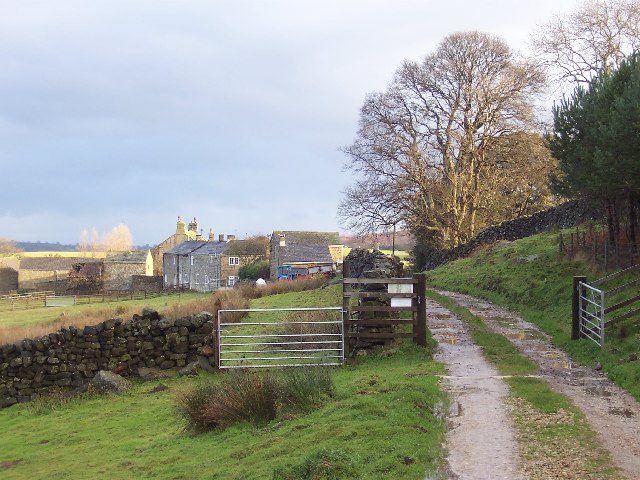
Blaythorn Hill Images

Images are sourced within 2km of 54.128819/-1.6966695 or Grid Reference SE1970. Thanks to Geograph Open Source API. All images are credited.

Drift Lane Walled track leading towards the Drovers Inn, Dallowgill now adopted by the Ripon Rowell Walk.
Drift Lane
Walled track leading towards the Drovers Inn, Dallowgill now adopted by the Ripon Rowell Walk.
Road on Skelding Moor Narrow moorland road crossing Skelding Moor - the gorse already starting to flower despite still in the month of January.
Road on Skelding Moor
Narrow moorland road crossing Skelding Moor - the gorse already starting to flower despite still in the month of January.
Road over Skelding Moor to Harper Hill Narrow road from Low Grantley to Harper Hill
Road over Skelding Moor to Harper Hill
Narrow road from Low Grantley to Harper Hill
Skelding Moor Moorland landscape near Grantley
Skelding Moor
Moorland landscape near Grantley
Ordnance Survey Flush Bracket 11573 This re-sited Bracket can be found on the wall of a newly extended building at The Moorhouse - formerly the Drovers Inn.
For more detail see : <span class="nowrap"><a title="http://www.bench-marks.org.uk/bm22378" rel="nofollow ugc noopener" href="http://www.bench-marks.org.uk/bm22378">Link</a><img style="margin-left:2px;" alt="External link" title="External link - shift click to open in new window" src="https://s1.geograph.org.uk/img/external.png" width="10" height="10"/></span>
Ordnance Survey Flush Bracket 11573
This re-sited Bracket can be found on the wall of a newly extended building at The Moorhouse - formerly the Drovers Inn. For more detail see : LinkExternal link
The original location of the now re-sited Ordnance Survey Flush Bracket 11573 The wall of the former Drovers Inn.
For more detail see : <span class="nowrap"><a title="http://www.bench-marks.org.uk/bm22378" rel="nofollow ugc noopener" href="http://www.bench-marks.org.uk/bm22378">Link</a><img style="margin-left:2px;" alt="External link" title="External link - shift click to open in new window" src="https://s1.geograph.org.uk/img/external.png" width="10" height="10"/></span>
The original location of the now re-sited Ordnance Survey Flush Bracket 11573
The wall of the former Drovers Inn. For more detail see : LinkExternal link
New Building at the former Drovers Inn The re-position Ordnance Survey Flush Bracket 11573 is visible on the new wall.
For more detail see : <span class="nowrap"><a title="http://www.bench-marks.org.uk/bm22378" rel="nofollow ugc noopener" href="http://www.bench-marks.org.uk/bm22378">Link</a><img style="margin-left:2px;" alt="External link" title="External link - shift click to open in new window" src="https://s1.geograph.org.uk/img/external.png" width="10" height="10"/></span>
New Building at the former Drovers Inn
The re-position Ordnance Survey Flush Bracket 11573 is visible on the new wall. For more detail see : LinkExternal link
Dallow Collection of houses that make up the hamlet of Dallow, from the west.
Dallow
Collection of houses that make up the hamlet of Dallow, from the west.
Woods in Dallowgill
Woods in Dallowgill
Art near Stang Brae, Dallowgill Supplemental, I agree.  The area around Dallowgill has several of these mosaics in odd places, almost like a treasure hunt.  Someone with an artistic flair has gone to much trouble.
Art near Stang Brae, Dallowgill
Supplemental, I agree. The area around Dallowgill has several of these mosaics in odd places, almost like a treasure hunt. Someone with an artistic flair has gone to much trouble.
Saint Peter's Church, Dallowgill. A springtime view of a secluded chapel within Southern Nidderdale.
Saint Peter's Church, Dallowgill.
A springtime view of a secluded chapel within Southern Nidderdale.
Saint Peter's Church Lovely little church far from any large concentrations of population.
Saint Peter's Church
Lovely little church far from any large concentrations of population.
Mechanised Shepherd, Dallow Moor Modern shepherd herding his sheep off the moor, and following this track to Harper Hill
Mechanised Shepherd, Dallow Moor
Modern shepherd herding his sheep off the moor, and following this track to Harper Hill
Tracks on Harper Hill Junction of tracks - the one to the left leads to Dallow Moor, while the other one heads for Wake Hill
Tracks on Harper Hill
Junction of tracks - the one to the left leads to Dallow Moor, while the other one heads for Wake Hill
An hillside Farm One of many hill farms in this area.
An hillside Farm
One of many hill farms in this area.
Stream and Woods in Woods near Dallow
Dallow The hamlet of Dallow is reached at the end of a lane the leaves the moor road not far from the Drovers Inn.
Dallow
The hamlet of Dallow is reached at the end of a lane the leaves the moor road not far from the Drovers Inn.
Footbridge in the woods Approaching a footbridge over South Gill Beck in the Dallowgill area. The bridge is unsafe and needs attention.
Footbridge in the woods
Approaching a footbridge over South Gill Beck in the Dallowgill area. The bridge is unsafe and needs attention.
Show me another place!

Blaythorn Hill is located at Grid Ref: SE1970 (Lat: 54.128819, Lng: -1.6966695)

Division: West Riding

Administrative County: North Yorkshire

District: Harrogate

Police Authority: North Yorkshire

What 3 Words

///engage.inch.thatched. Near Pateley Bridge, North Yorkshire

Related Wikis

Dallowgill

Dallowgill (historically also Dallaghill) is a village in Harrogate district in North Yorkshire, England. It consists of a number of scattered settlements...

Eavestone

Eavestone is a hamlet and civil parish in the Harrogate district of North Yorkshire, England. It is situated near Brimham Rocks, 3 miles (4.8 km) east...

Grantley, North Yorkshire

Grantley is a village (also known as High Grantley) and civil parish in North Yorkshire, England. It lies 5 miles (8 km) west of Ripon. The parish also...

High and Low Bishopside

High and Low Bishopside is a civil parish in Nidderdale in the Harrogate district, in the county of North Yorkshire, England. It includes the town of Pateley...

Laverton, North Yorkshire

Laverton is a village and civil parish in the Harrogate district of North Yorkshire, England, about 7 miles (11 km) west of Ripon. The population of this...

Grantley Hall

Grantley Hall is a English country house located in North Yorkshire, England. It is situated near Grantley, about 5 miles (8 km) to the west of Ripon,...

Ripon and Pateley Bridge Rural District

Ripon and Pateley Bridge was a rural district in the West Riding of Yorkshire, England from 1937 to 1974. It was created in 1937 by a County Review Order...

Risplith

Risplith is a village in the civil parish of Sawley, in the Harrogate district of North Yorkshire, England. It is about 4 miles (6.4 km) west of Ripon...

Nearby Amenities

Located within 500m of 54.128819,-1.6966695
Blaythorn Hill
Natural: peak
Source: OS 1:25k
Lat/Long: 54.1290534/-1.696785
old shaft
Historic: mine_shaft
Mineral: coal?
Source: OS 1:25k
Lat/Long: 54.1323915/-1.6946242
Bonfire Hill
Natural: peak
Source: OS 1:25k
Lat/Long: 54.1312228/-1.7007826
old shaft
Historic: mine_shaft
Mineral: coal?
Source: OS 1:25k
Lat/Long: 54.1324172/-1.696255
Harper Hill
Place: farm
Lat/Long: 54.1281527/-1.701076
The data included in this document is from www.openstreetmap.org. The data is made available under ODbL.

Have you been to Blaythorn Hill?

Leave your review of Blaythorn Hill below (or comments, questions and feedback).