Arklow Hill
Hill, Mountain in Yorkshire Richmondshire
England
Arklow Hill
Arklow Hill is a prominent geographical feature located in the county of Yorkshire, England. It is classified as a hill rather than a mountain, standing at an elevation of approximately 456 meters (1,496 feet) above sea level. Situated near the town of Arklow, the hill offers stunning panoramic views of the surrounding countryside.
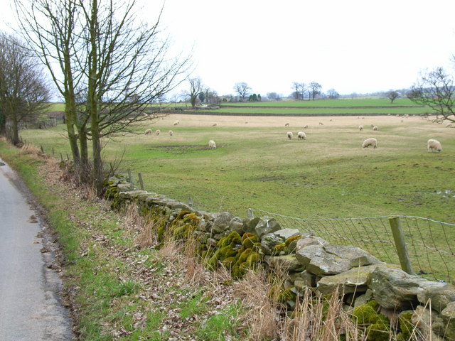
The terrain of Arklow Hill is characterized by rolling slopes covered in lush greenery, primarily consisting of grasses and shrubs. The hill is part of the larger Pennines range, which stretches across northern England. It is composed mainly of millstone grit, a type of sandstone common in the region. This geological composition gives the hill its distinctive appearance and contributes to its durability and resistance to erosion.
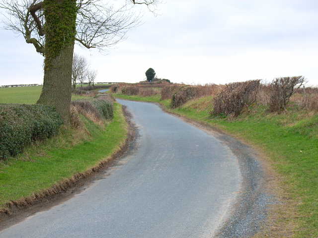
The hill is a popular destination for outdoor enthusiasts, hikers, and nature lovers due to its natural beauty and accessibility. A network of walking trails and footpaths crisscrosses the hill, allowing visitors to explore its diverse flora and fauna. Wildlife such as birds, rabbits, and small mammals can often be spotted in the area.
Arklow Hill also holds historical significance, as it is believed to have been inhabited by humans since ancient times. Archaeological remains, including burial mounds and stone circles, have been found on the hill, indicating prehistoric activity in the area.
Overall, Arklow Hill is a picturesque and culturally significant landmark in Yorkshire, offering both natural beauty and historical intrigue to those who visit.
If you have any feedback on the listing, please let us know in the comments section below.
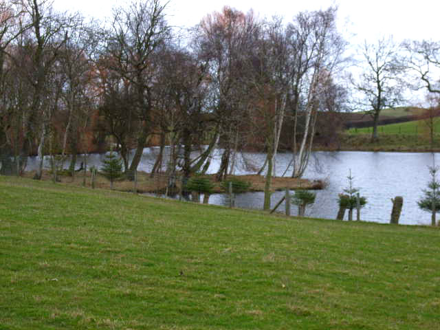
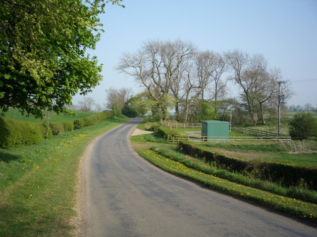
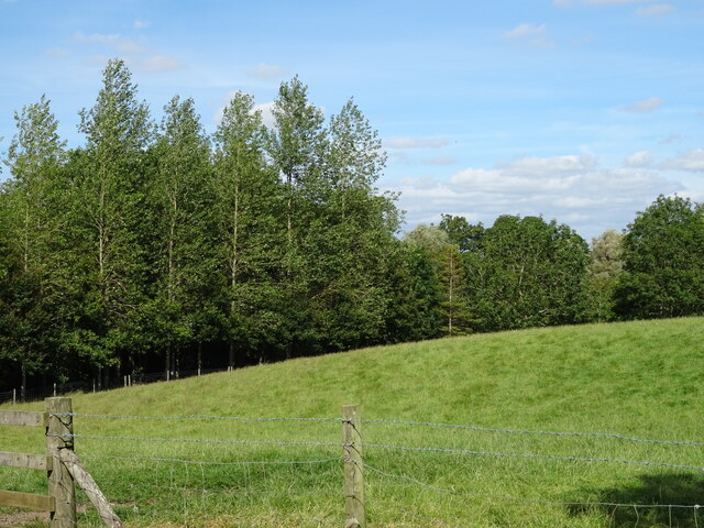
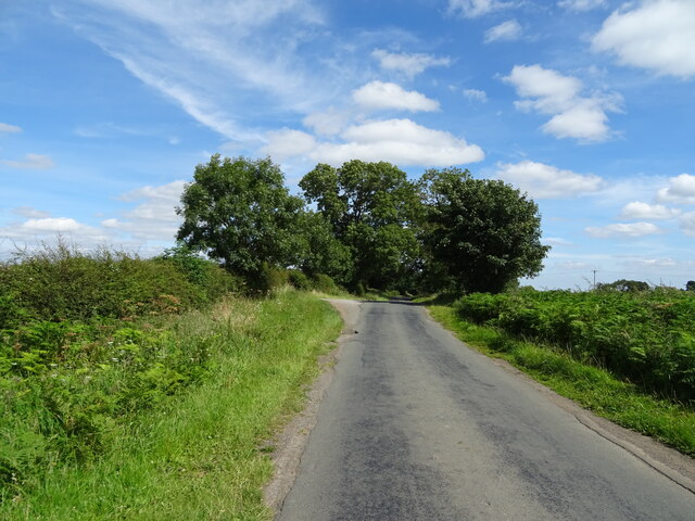
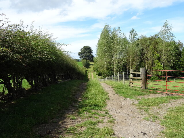
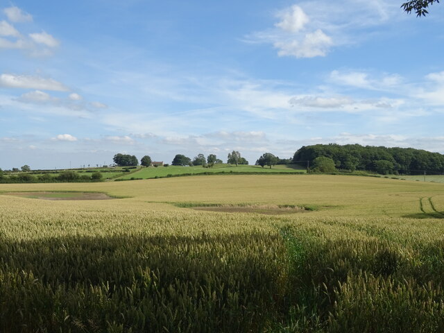
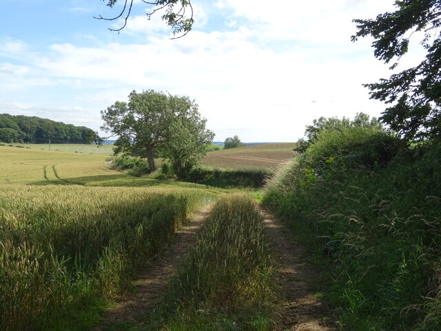
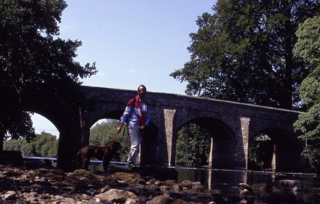
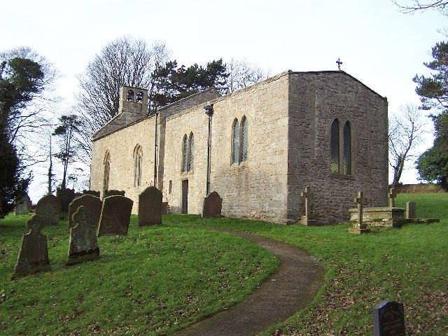
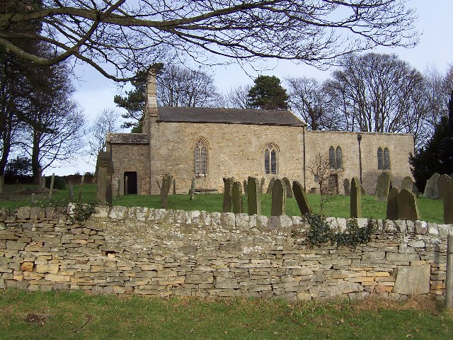
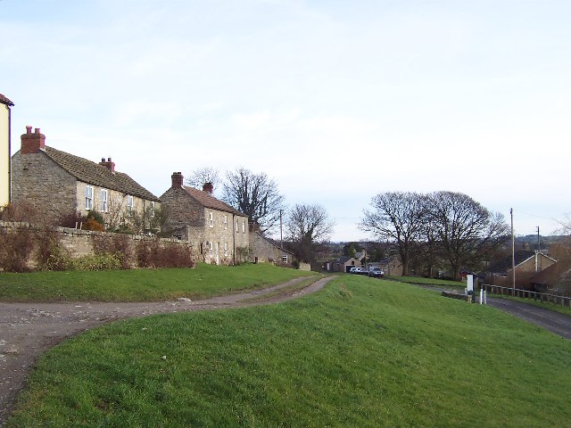
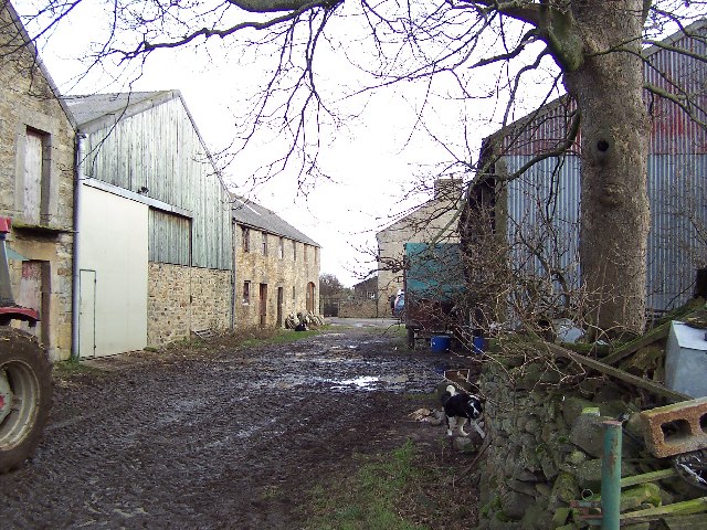
Arklow Hill Images
Images are sourced within 2km of 54.286041/-1.7176667 or Grid Reference SE1887. Thanks to Geograph Open Source API. All images are credited.


Arklow Hill is located at Grid Ref: SE1887 (Lat: 54.286041, Lng: -1.7176667)
Division: North Riding
Administrative County: North Yorkshire
District: Richmondshire
Police Authority: North Yorkshire
What 3 Words
///bluff.restriction.organs. Near Leyburn, North Yorkshire
Nearby Locations
Related Wikis

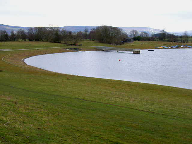
Thornton Steward Reservoir
Thornton Steward Reservoir is a reservoir north of the village of Thornton Steward in North Yorkshire, England. It is owned by Yorkshire Water, and supplies...

Thornton Steward
Thornton Steward is a small village and civil parish in North Yorkshire, England, near Wensleydale, with a population of 100–200, measured at 199 in the...
Finghall
Finghall is a village and civil parish in North Yorkshire, England. == History == The village is mentioned in the Domesday Book as Fingall when it belonged...

Hutton Hang
Hutton Hang is a hamlet and civil parish in the Richmondshire district of North Yorkshire, England. The population taken at the 2011 census was less than...

Finghall railway station
Finghall railway station is on the Wensleydale Railway and serves the village of Finghall in North Yorkshire, England. Adjacent to the station is a manually...
Rookwith
Rookwith is a hamlet and civil parish in the Hambleton district of North Yorkshire, England, about 4 miles (6.4 km) west of Bedale and near the flow of...
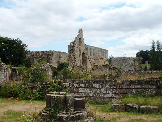
Jervaulx Abbey
Jervaulx Abbey in East Witton in North Yorkshire, 14 mi (23 km) north-west of the city of Ripon, was one of the great Cistercian abbeys of Yorkshire, England...

Aysgarth School
Aysgarth School is an independent day and boarding preparatory school near to the village of Newton-le-Willows, North Yorkshire, England. As the name suggests...
Nearby Amenities
Located within 500m of 54.286041,-1.7176667Have you been to Arklow Hill?
Leave your review of Arklow Hill below (or comments, questions and feedback).