Hill of Goster

Hill, Mountain in Shetland

Scotland

Hill of Goster

Deserted crofts  At Mid Walls.
Deserted crofts Credit: Russel Wills

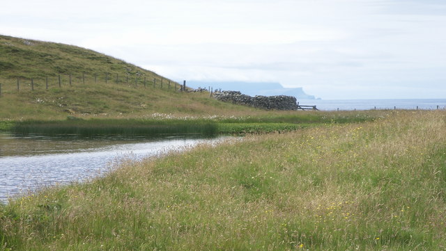
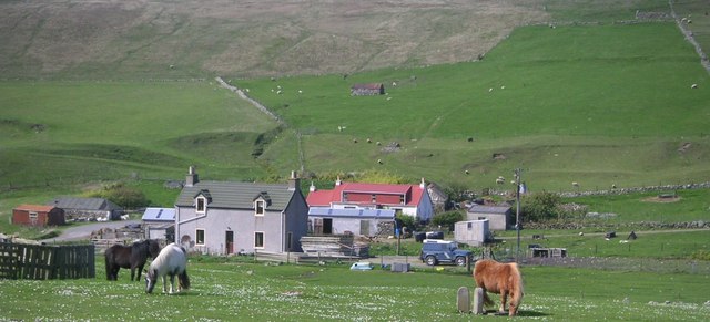
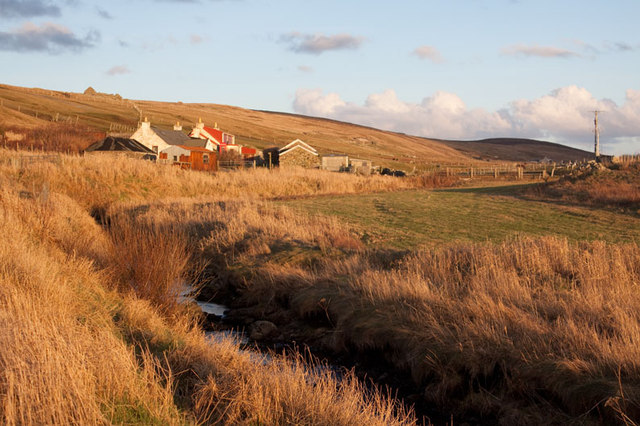
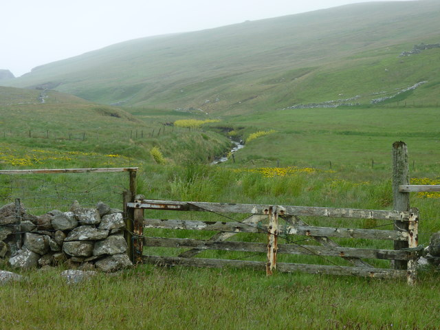
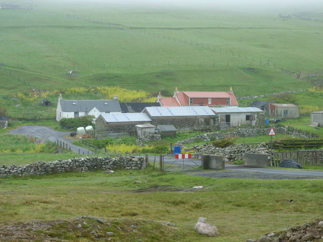
Hill of Goster is a prominent geographical feature located in the Shetland Islands, Scotland. Situated on the island of Yell, it is one of the highest hills in the region, boasting an elevation of 279 meters (915 feet). The hill is part of the wider range of hills known as the Mid Yell Hills, which extend across the central area of Yell.

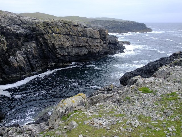
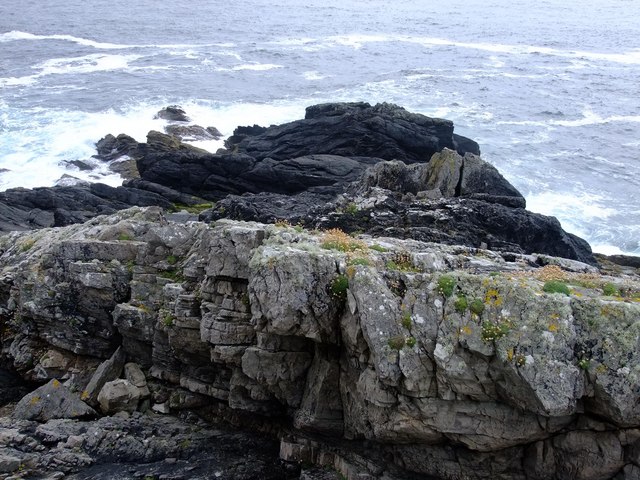
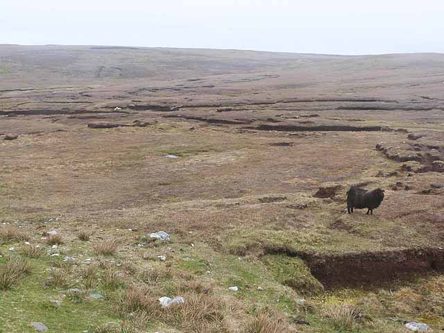
Hill of Goster offers breathtaking views of the surrounding landscape, showcasing the rugged and picturesque beauty of the Shetland Islands. From the summit, visitors can admire the rolling green hills, scattered lochs, and the vast expanse of the North Atlantic Ocean. On clear days, it is even possible to see neighboring islands such as Unst and Fetlar.

The hill is home to a variety of flora and fauna, including heather, mosses, and grasses. Birdwatchers may be fortunate enough to spot species such as curlews, lapwings, and golden plovers, which inhabit the area. Hill of Goster also provides an ideal habitat for the Shetland pony, a breed native to the islands.

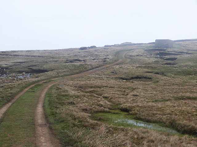
Hiking enthusiasts are drawn to Hill of Goster due to its accessible location and well-defined paths. The ascent is moderate in difficulty, making it suitable for individuals of various fitness levels. The hill is often climbed as part of a wider exploration of the Mid Yell Hills, allowing visitors to immerse themselves in the natural wonders of the Shetland Islands.

If you have any feedback on the listing, please let us know in the comments section below.

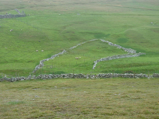
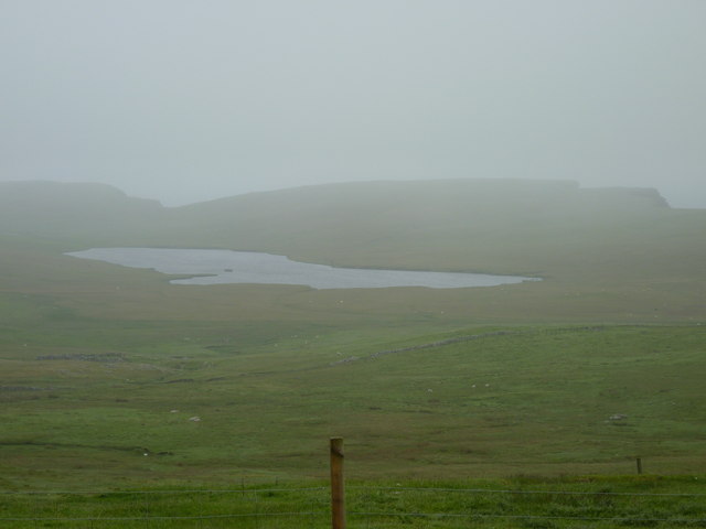
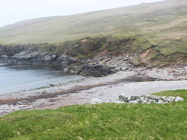
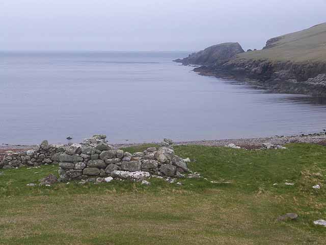
Hill of Goster Images

Images are sourced within 2km of 60.246864/-1.6682137 or Grid Reference HU1851. Thanks to Geograph Open Source API. All images are credited.

Deserted crofts  At Mid Walls.
Deserted crofts
At Mid Walls.
Shun of Sung Small weedy lochan, view west with the island of Foula in the distance.
Shun of Sung
Small weedy lochan, view west with the island of Foula in the distance.
Geo at Rams Head
Geo at Rams Head
Black Head A small piece of coastline, most of which is only exposed at low tide.
Black Head
A small piece of coastline, most of which is only exposed at low tide.
Dale of Walls: Loch of Goster and view of Foula The island of Foula is faintly visible on the horizon as we look out to sea over the Loch of Goster.
Dale of Walls: Loch of Goster and view of Foula
The island of Foula is faintly visible on the horizon as we look out to sea over the Loch of Goster.
Dale of Walls: telephone box and cottage This very isolated telephone box cannot surely see much use - well, attempted use, I should say: I lifted the handset and could get no tone whatsoever!
Dale of Walls: telephone box and cottage
This very isolated telephone box cannot surely see much use - well, attempted use, I should say: I lifted the handset and could get no tone whatsoever!
Horses at Dale
Horses at Dale
Netherdale, Shetland Islands Netherdale crofts in the Dale of Walls, Shetland Islands
Netherdale, Shetland Islands
Netherdale crofts in the Dale of Walls, Shetland Islands
Beach at Voe of Dale, Dale of Walls
Gate to a view of the Burn of Dale It's easy to post photos of Shetland only when it is sunny - so here is one showing a more realistic view!
Gate to a view of the Burn of Dale
It's easy to post photos of Shetland only when it is sunny - so here is one showing a more realistic view!
Cattle grid,and Netherdale beyond
Remains of an enclosure at Swinland, Dale of Walls
Looking across rough pasture to the Loch of Goster and cliff edges beyond
Beach at the head of the Voe of Dale
Voe of Dale
Voe of Dale
Scord of Simlifield Peat bog and black sheep.
Scord of Simlifield
Peat bog and black sheep.
Track up to Simli Field For access to the peat cuttings.
Track up to Simli Field
For access to the peat cuttings.
Netherdale Farm Just inland from the Voe of Dale. A day of very low cloud.
Netherdale Farm
Just inland from the Voe of Dale. A day of very low cloud.
Show me another place!

Hill of Goster is located at Grid Ref: HU1851 (Lat: 60.246864, Lng: -1.6682137)

Unitary Authority: Shetland Islands

Police Authority: Highlands and Islands

What 3 Words

///husbands.questions.hairspray. Near Walls, Shetland Islands

Nearby Locations

Hill of Goster Simli Field

Related Wikis

Burrastow

Burrastow is a location on the west shore of Vaila Sound near the village of Walls on the Shetland Mainland, Scotland. There are two small piers and the...

Sandness

Sandness (the "d" is not pronounced locally) is a headland and district in the west of Shetland Mainland, Scotland. Sandness was a civil parish, which...

Walls, Shetland

Walls, known locally as Waas (Old Norse: Vagar = "Sheltered Bays" (voes) - the Ordnance Survey added the "ll" as they thought it was a corruption of "walls...

Linga, Vaila Sound

Linga is one of the Shetland Islands, near Vaila and Walls on Mainland, Shetland. Its highest elevation is 28 metres (91 ft). In 2014 and 2018 it was...

Nearby Amenities

Located within 500m of 60.246864,-1.6682137
Passing Place
Lat/Long: 60.2469664/-1.6654889
Passing Place
Lat/Long: 60.2442811/-1.6659292
Passing Place
Lat/Long: 60.2465357/-1.6661683
Passing Place
Lat/Long: 60.2484289/-1.666181
Passing Place
Lat/Long: 60.2499892/-1.6679563
Power: pole
Lat/Long: 60.2434527/-1.663478
Power: pole
Lat/Long: 60.2439837/-1.6639725
Power: pole
Lat/Long: 60.2444792/-1.6644323
Power: pole
Lat/Long: 60.2449769/-1.6648783
Power: pole
Lat/Long: 60.2454367/-1.6653081
Power: pole
Lat/Long: 60.2459459/-1.6657633
Power: pole
Lat/Long: 60.246564/-1.6663179
Power: pole
Lat/Long: 60.2470043/-1.6667268
Power: pole
Lat/Long: 60.2474125/-1.6670919
Power: pole
Lat/Long: 60.2478059/-1.6674686
Power: pole
Lat/Long: 60.2482955/-1.6679215
Power: pole
Lat/Long: 60.2487782/-1.6683721
Power: pole
Lat/Long: 60.249394/-1.6689151
Power: pole
Lat/Long: 60.2498515/-1.6693449
Power: pole
Lat/Long: 60.250317/-1.66977
Power: pole
Lat/Long: 60.2508456/-1.6702507
The data included in this document is from www.openstreetmap.org. The data is made available under ODbL.

Have you been to Hill of Goster?

Leave your review of Hill of Goster below (or comments, questions and feedback).