Thornton Steward
Civil Parish in Yorkshire Richmondshire
England
Thornton Steward
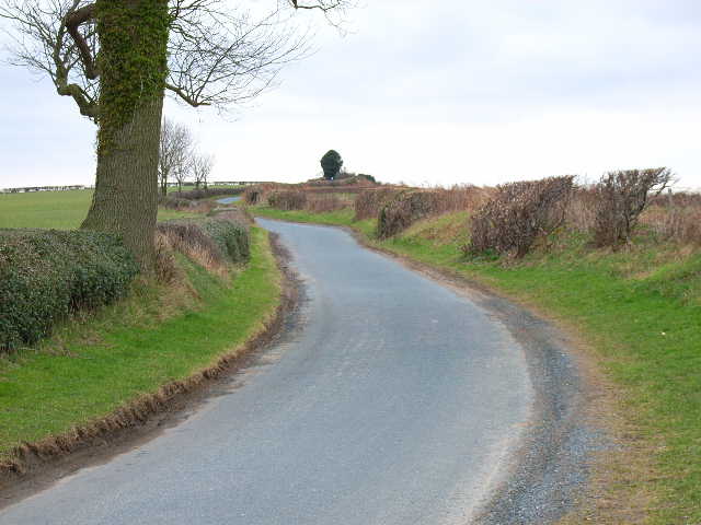
Thornton Steward is a civil parish located in the Richmondshire district of North Yorkshire, England. It is a small village situated approximately 7 miles northwest of the market town of Bedale.
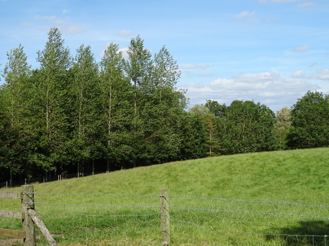
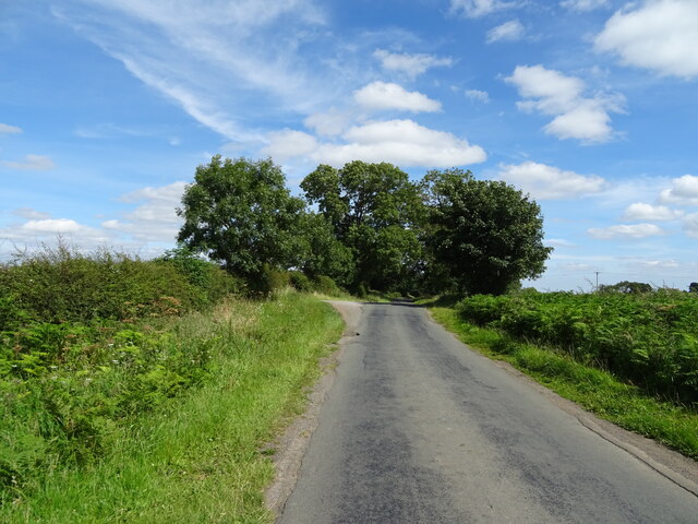
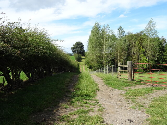
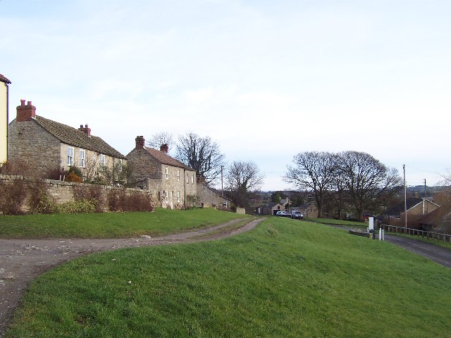
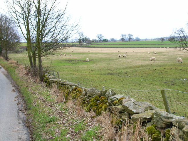
The parish covers an area of about 6 square miles and is predominantly rural, with a population of around 200 people. The village itself is quaint and picturesque, with a charming mix of stone cottages and traditional buildings. It is known for its scenic beauty and tranquil atmosphere, making it a popular destination for those seeking a peaceful countryside retreat.
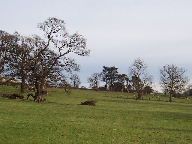
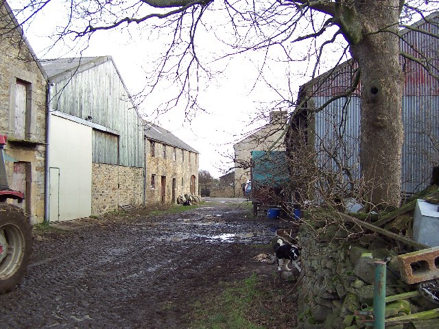
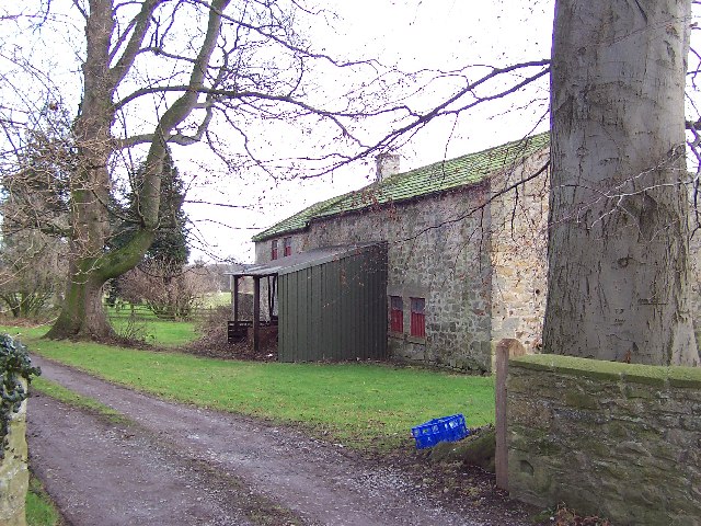
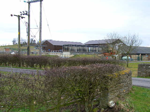
The village is surrounded by rolling hills and open farmland, offering stunning views of the Yorkshire Dales National Park. The area is characterized by its agricultural heritage, with farming being a significant part of the local economy.
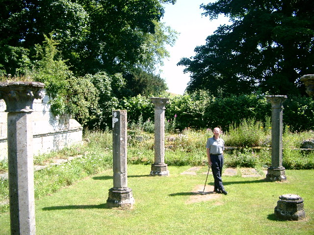
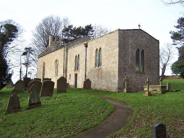
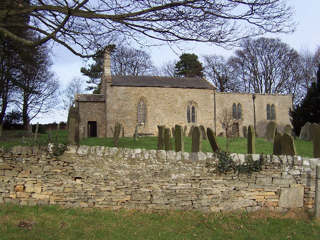
One notable feature of Thornton Steward is its historic church, dedicated to St. Oswald. The church dates back to the 12th century and is a Grade II listed building. It holds regular services and is an important focal point for the community.
Despite its small size, Thornton Steward has a vibrant community spirit. The village organizes various events and activities throughout the year, including a summer fair, village fete, and regular social gatherings. There is also a local pub that serves as a hub for residents and visitors alike.
Overall, Thornton Steward offers a peaceful and idyllic setting, perfect for those looking to enjoy the beauty of the Yorkshire countryside and experience a close-knit community.
If you have any feedback on the listing, please let us know in the comments section below.
Thornton Steward Images
Images are sourced within 2km of 54.282932/-1.722152 or Grid Reference SE1887. Thanks to Geograph Open Source API. All images are credited.


Thornton Steward is located at Grid Ref: SE1887 (Lat: 54.282932, Lng: -1.722152)
Division: North Riding
Administrative County: North Yorkshire
District: Richmondshire
Police Authority: North Yorkshire
What 3 Words
///kettles.worthy.widest. Near Leyburn, North Yorkshire
Nearby Locations
Related Wikis

Thornton Steward
Thornton Steward is a small village and civil parish in North Yorkshire, England, near Wensleydale, with a population of 100–200, measured at 199 in the...

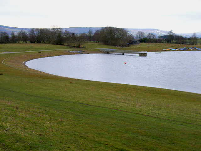
Thornton Steward Reservoir
Thornton Steward Reservoir is a reservoir north of the village of Thornton Steward in North Yorkshire, England. It is owned by Yorkshire Water, and supplies...

Hutton Hang
Hutton Hang is a hamlet and civil parish in the Richmondshire district of North Yorkshire, England. The population taken at the 2011 census was less than...
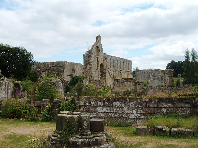
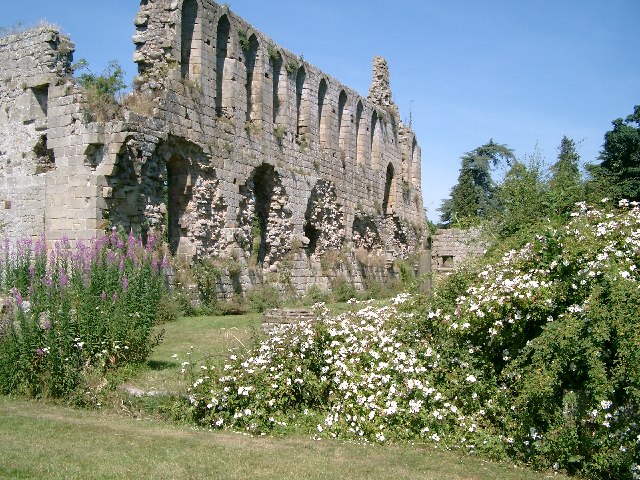
Jervaulx Abbey
Jervaulx Abbey in East Witton in North Yorkshire, 14 mi (23 km) north-west of the city of Ripon, was one of the great Cistercian abbeys of Yorkshire, England...
Nearby Amenities
Located within 500m of 54.282932,-1.722152Have you been to Thornton Steward?
Leave your review of Thornton Steward below (or comments, questions and feedback).