Black Hill

Hill, Mountain in Yorkshire Harrogate

England

Black Hill

Yorke's Folly
Yorke's Folly Credit: habiloid

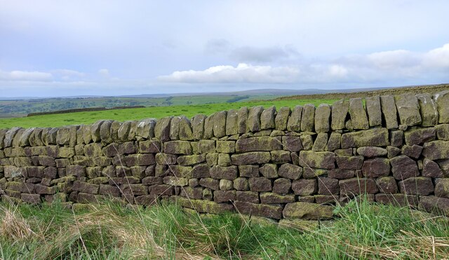
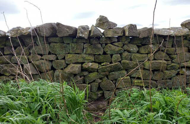
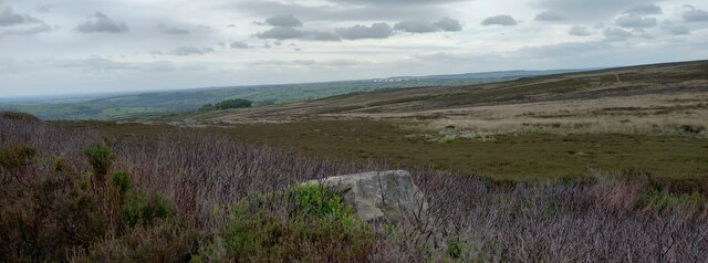
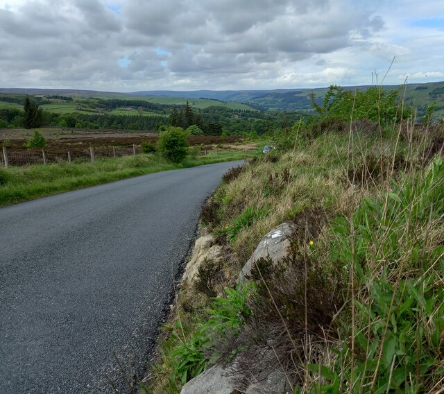
Black Hill is a prominent landmark located in the county of Yorkshire, England. It is situated within the Peak District National Park, specifically in the southern part of the Dark Peak area. Standing at an elevation of 582 meters (1,909 feet), it is one of the highest peaks in the region and offers breathtaking panoramic views of the surrounding countryside.

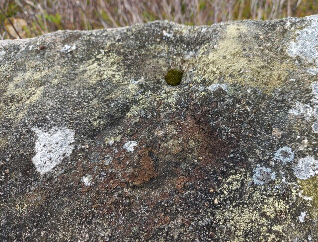
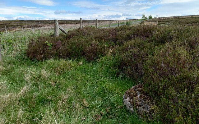
This hill is part of the Pennine range, which stretches across northern England, and is known for its rugged and wild terrain. Black Hill is characterized by its dark and peaty soil, which gives it its name. It is composed mainly of millstone grit and is covered in heather and grasses, creating a picturesque landscape.

The area surrounding Black Hill is rich in natural beauty and biodiversity. It is home to a variety of flora and fauna, including birds such as golden plovers, curlews, and peregrine falcons. The hill is also intersected by several walking trails and footpaths, making it a popular destination for hikers and nature enthusiasts.

Visitors to Black Hill can explore its scenic surroundings, taking in the stunning views and immersing themselves in the tranquility of the countryside. The hill offers opportunities for outdoor activities such as hiking, birdwatching, and photography. It serves as a gateway to the wider Peak District National Park, allowing visitors to explore the diverse landscapes and attractions of this renowned area.

If you have any feedback on the listing, please let us know in the comments section below.
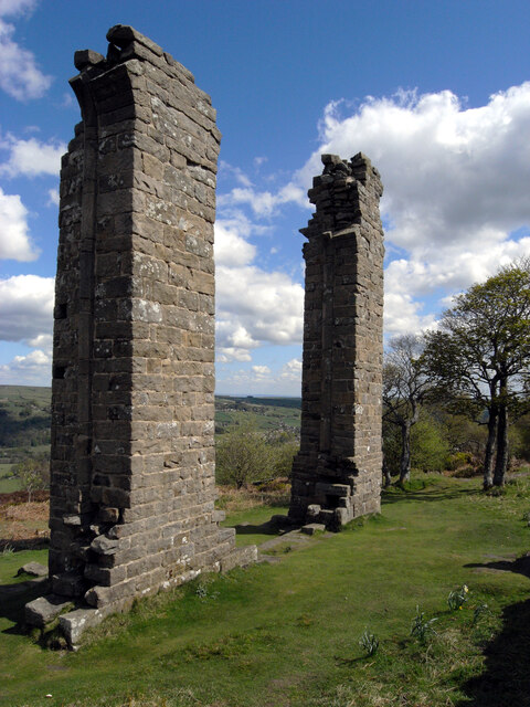
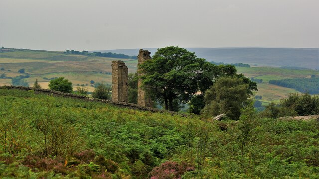
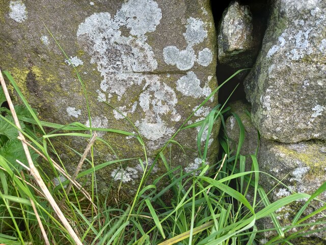
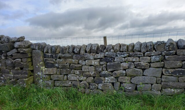
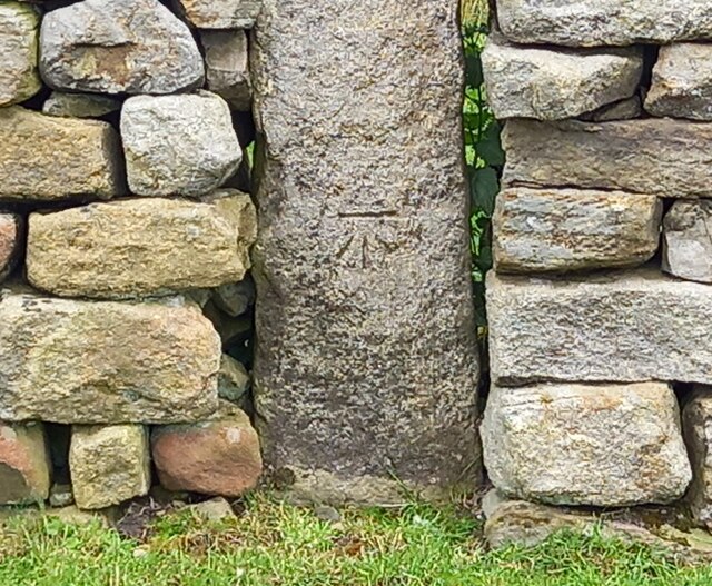
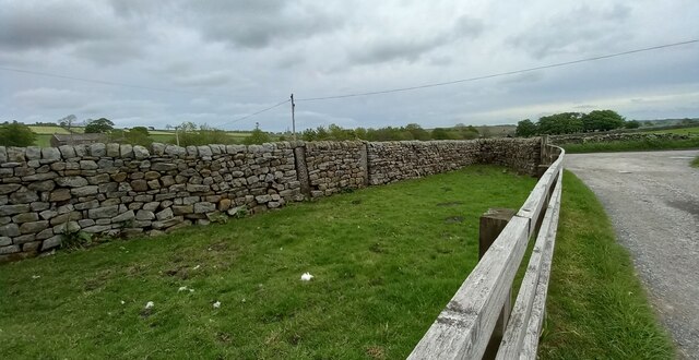
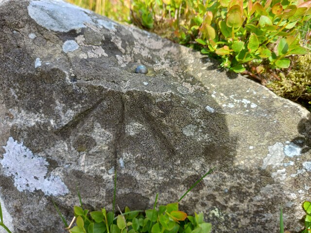
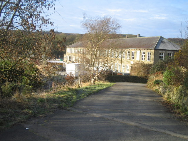
Black Hill Images

Images are sourced within 2km of 54.054835/-1.7437369 or Grid Reference SE1662. Thanks to Geograph Open Source API. All images are credited.

Yorke's Folly
Yorke's Folly
Yorke's Folly A Georgian eye-catcher on Guyscliffe (Guise Cliff) for Mr Yorke from his home in Bewerley
Yorke's Folly
A Georgian eye-catcher on Guyscliffe (Guise Cliff) for Mr Yorke from his home in Bewerley
Heyshaw, Dike Lane The benchmark is cut into one remaining gatepost on the east of Dike Lane. The field entrance has been filled with a drystone wall.
Heyshaw, Dike Lane
The benchmark is cut into one remaining gatepost on the east of Dike Lane. The field entrance has been filled with a drystone wall.
Heyshaw, Dike Lane There is a benchmark cut into the one remaining gatepost on the east of Dike Lane. The field entrance has been filled with a drystone wall.
Heyshaw, Dike Lane
There is a benchmark cut into the one remaining gatepost on the east of Dike Lane. The field entrance has been filled with a drystone wall.
Heyshaw, Dike Lane According to the OS benchmark database there is a benchmark on this stretch of drystone wall on the west side of Dike Lane. Nothing was found and the wall looked rebuilt, and the mark may have been destroyed.
Heyshaw, Dike Lane
According to the OS benchmark database there is a benchmark on this stretch of drystone wall on the west side of Dike Lane. Nothing was found and the wall looked rebuilt, and the mark may have been destroyed.
Heyshaw, Fouldshaw Farm The benchmark is cut into a gatepost on the north of the farm drive. The gatehole has been filled.
Heyshaw, Fouldshaw Farm
The benchmark is cut into a gatepost on the north of the farm drive. The gatehole has been filled.
Heyshaw, Fouldshaw Farm There is a benchmark cut into the left gatepost on the north of the farm drive. The gatehole has been filled.
Heyshaw, Fouldshaw Farm
There is a benchmark cut into the left gatepost on the north of the farm drive. The gatehole has been filled.
Heyshaw, Nought Moor Road The rivet benchmark is on the lowest course of stone in the north facing drystone wall in the small layby at the start of Nought Moor Lane.
Heyshaw, Nought Moor Road
The rivet benchmark is on the lowest course of stone in the north facing drystone wall in the small layby at the start of Nought Moor Lane.
Heyshaw, Nought Moor Road There is a rivet benchmark cut into the lowest course of stone in the north facing drystone wall in the small layby at the start of Nought Moor Lane.
Heyshaw, Nought Moor Road
There is a rivet benchmark cut into the lowest course of stone in the north facing drystone wall in the small layby at the start of Nought Moor Lane.
Heyshaw, High Crag The pivot benchmark is cut into a boulder to the south of the footpath which takes you to the trig point at High Crag and Guise Cliff.
Heyshaw, High Crag
The pivot benchmark is cut into a boulder to the south of the footpath which takes you to the trig point at High Crag and Guise Cliff.
Heyshaw, High Crag There is a pivot benchmark cut into the boulder to the south of the footpath which takes you to the trig point at High Crag and Guise Cliff. In the distance there are the "golf balls" at Menwith Hill and the wind turbines at Knabs Ridge.
Heyshaw, High Crag
There is a pivot benchmark cut into the boulder to the south of the footpath which takes you to the trig point at High Crag and Guise Cliff. In the distance there are the "golf balls" at Menwith Hill and the wind turbines at Knabs Ridge.
Bewerley, Nought Bank Road The benchmark is cut into a boulder on the east side of the road.
Bewerley, Nought Bank Road
The benchmark is cut into a boulder on the east side of the road.
Bewerley, Nought Bank Road There is a benchmark cut into the boulder which is on the east side of the road.
Bewerley, Nought Bank Road
There is a benchmark cut into the boulder which is on the east side of the road.
Bewerley, Nought Moor Road The benchmark is cut into a boulder on the west side of the moor road.
Bewerley, Nought Moor Road
The benchmark is cut into a boulder on the west side of the moor road.
Bewerley, Nought Moor Road There is a benchmark cut into the boulder which is on the west side of the moor road.
Bewerley, Nought Moor Road
There is a benchmark cut into the boulder which is on the west side of the moor road.
Heyshaw, Nought Moor Road The rivet benchmark is cut into a roadside boulder on the east side of the moor road, and alongside the tarmac, not within the enclosed moor.
Heyshaw, Nought Moor Road
The rivet benchmark is cut into a roadside boulder on the east side of the moor road, and alongside the tarmac, not within the enclosed moor.
Heyshaw, Nought Moor Road There is a rivet benchmark cut into the roadside boulder, which is on the east side of the moor road, and alongside the tarmac, not within the enclosed moor.
Heyshaw, Nought Moor Road
There is a rivet benchmark cut into the roadside boulder, which is on the east side of the moor road, and alongside the tarmac, not within the enclosed moor.
Heyshaw Moor The rivet benchmark is cut into a boulder on the east side of the road, on the enclosed moor.
Heyshaw Moor
The rivet benchmark is cut into a boulder on the east side of the road, on the enclosed moor.
Show me another place!

Black Hill is located at Grid Ref: SE1662 (Lat: 54.054835, Lng: -1.7437369)

Division: West Riding

Administrative County: North Yorkshire

District: Harrogate

Police Authority: North Yorkshire

What 3 Words

///weekend.whisk.rated. Near Pateley Bridge, North Yorkshire

Related Wikis

Glasshouses, North Yorkshire

Glasshouses is a small village in Nidderdale, North Yorkshire, England. It lies 1 mile (1.6 km) south-east of Pateley Bridge on the east side of Nidderdale...

Dacre, North Yorkshire

Dacre is a village and civil parish in the Harrogate district of North Yorkshire, England, it is 5 miles south of Pateley Bridge. In the 2001 census the...

Dacre railway station

Dacre railway station served the villages of Dacre and Summerbridge, North Yorkshire, England from 1862 to 1951 on the Nidd Valley Railway. == History... ==
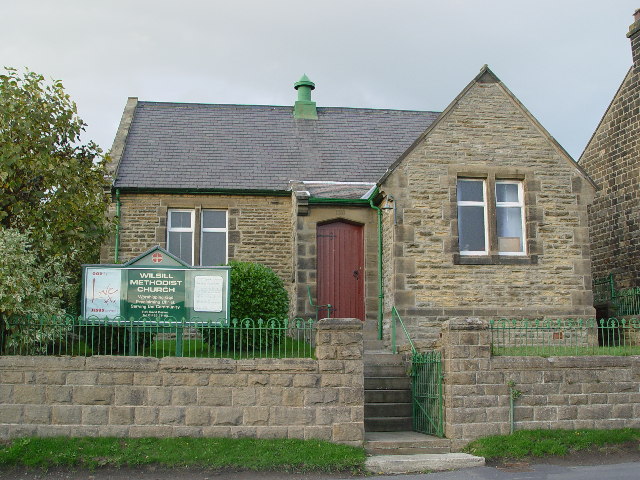
Wilsill

Wilsill is a village in Nidderdale in the Harrogate district of North Yorkshire, England. It is about 2 miles (3 km) east of Pateley Bridge on the B6165...

New York, North Yorkshire

New York is a settlement in Nidderdale in the Harrogate district of North Yorkshire, England. It is on the River Nidd, near Summerbridge, and about 2...

Summerbridge, North Yorkshire

Summerbridge is a village in Nidderdale in Harrogate district, North Yorkshire, England. It is on the River Nidd, adjacent to Dacre Banks on the opposite...

Bewerley

Bewerley is a village and civil parish in the Harrogate district of North Yorkshire, England, about twelve miles west of Ripon. The parish includes the...

Smelthouses

Smelthouses is a hamlet in Nidderdale in North Yorkshire, England. It lies about 2.3 miles (4 km) south-east of Pateley Bridge, on either side of Fell...

Nearby Amenities

Located within 500m of 54.054835,-1.7437369
Heyshaw
Place: hamlet
Lat/Long: 54.0522351/-1.7376804
Barrier: stile
Lat/Long: 54.0511962/-1.7445301
Jordan Hill
Place: locality
Source: OD Streetview
Lat/Long: 54.0580188/-1.7483442
Building: yes
Lat/Long: 54.05622/-1.7393091
Barrier: stile
Lat/Long: 54.0530767/-1.7437596
Fixme: Check for a stile west of here in the corner of the field. (That's where the Definitive Line goes.)
Lat/Long: 54.0540031/-1.7427348
The data included in this document is from www.openstreetmap.org. The data is made available under ODbL.

Have you been to Black Hill?

Leave your review of Black Hill below (or comments, questions and feedback).