High Crag

Hill, Mountain in Yorkshire Harrogate

England

High Crag

Glasshouses Mill Former large flax mill located beside the River Nidd.
Much has changed since my last visit, where there was an air of dilapidation about the place. The buildings have seen  major sympathetic renovation, and conversion into apartments and living accommodation.
Grade II Listed.
<a href="https://www.geograph.org.uk/photo/289857">SE1764 : The Mill, Glasshouses</a>
Glasshouses Mill Credit: Chris Heaton

High Crag is a prominent hill located in the Yorkshire Dales, a picturesque region in northern England. Situated in the western part of the national park, High Crag is part of the larger range of fells known as the Buttermere Fells. It stands at an elevation of 744 meters (2,441 feet) above sea level, making it an impressive landmark in the area.

The hill is characterized by its distinctive shape, with its summit forming a rounded dome. It offers breathtaking panoramic views of the surrounding valleys, lakes, and mountains, including the nearby Lake Buttermere and the towering peaks of Haystacks and Fleetwith Pike. On a clear day, one can even see as far as the Irish Sea.

High Crag is a popular destination for hikers and outdoor enthusiasts, attracting both experienced climbers and casual walkers. Several trails lead to its summit, varying in difficulty and length, offering options for all abilities. The ascent can be challenging, particularly in adverse weather conditions, with steep slopes and rocky terrain to navigate.

The hill is also home to a diverse range of flora and fauna, with heather, grasses, and wildflowers covering its slopes. Red deer, sheep, and various bird species can often be spotted in the area, adding to the natural beauty and wildlife of the Yorkshire Dales.

Overall, High Crag is an iconic feature of the Yorkshire Dales, offering visitors the chance to experience stunning views, challenging hikes, and a connection with the natural wonders of this picturesque region.

If you have any feedback on the listing, please let us know in the comments section below.
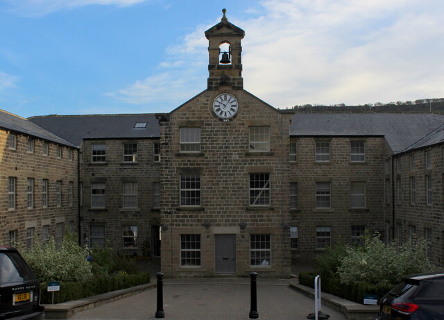
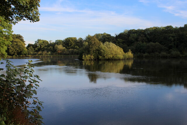
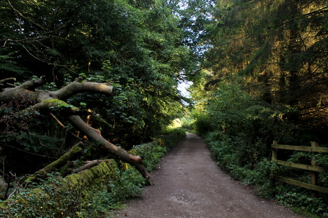
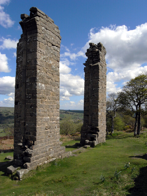
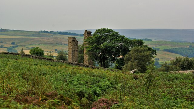
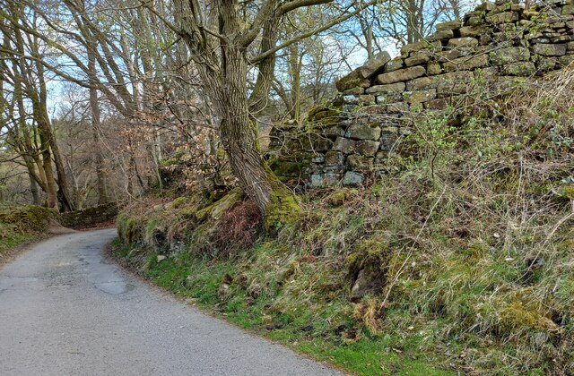
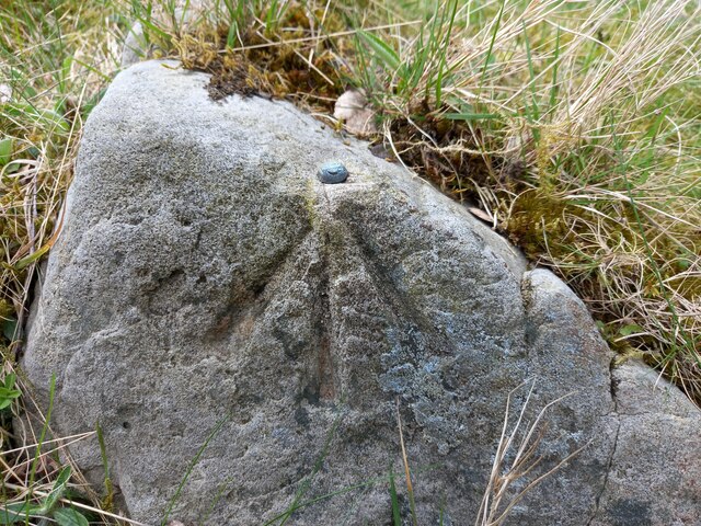
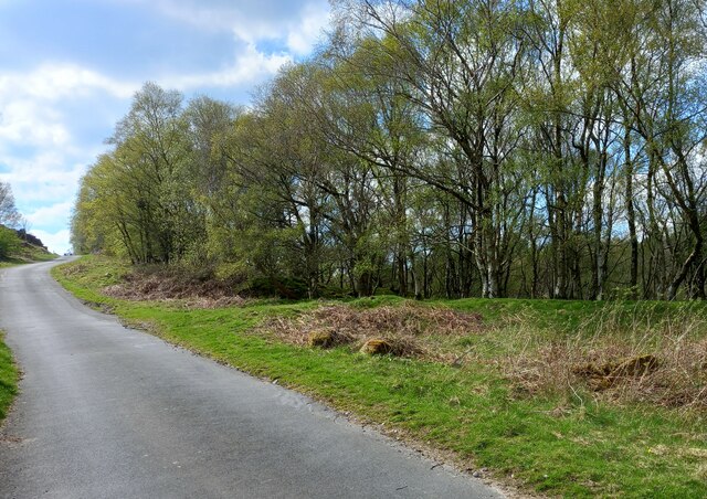
High Crag Images

Images are sourced within 2km of 54.061425/-1.7491505 or Grid Reference SE1662. Thanks to Geograph Open Source API. All images are credited.

Glasshouses Mill Former large flax mill located beside the River Nidd.
Much has changed since my last visit, where there was an air of dilapidation about the place. The buildings have seen  major sympathetic renovation, and conversion into apartments and living accommodation.
Grade II Listed.
<a href="https://www.geograph.org.uk/photo/289857">SE1764 : The Mill, Glasshouses</a>
Glasshouses Mill
Former large flax mill located beside the River Nidd. Much has changed since my last visit, where there was an air of dilapidation about the place. The buildings have seen major sympathetic renovation, and conversion into apartments and living accommodation. Grade II Listed. SE1764 : The Mill, Glasshouses
Glasshouses Mill Dam Created out of the River Nidd in the 1850's, to supply water to the Glasshouses Flax Mill - just downstream from here.
The mill has now been converted into living accommodation, while the artificial lake is the preserve of water fowl and the odd angler.
Glasshouses Mill Dam
Created out of the River Nidd in the 1850's, to supply water to the Glasshouses Flax Mill - just downstream from here. The mill has now been converted into living accommodation, while the artificial lake is the preserve of water fowl and the odd angler.
Footpath heading towards Glasshouses Follows the River Nidd from Pateley Bridge - at this point sandwiched between a redundant mill race and a fish farm.
Footpath heading towards Glasshouses
Follows the River Nidd from Pateley Bridge - at this point sandwiched between a redundant mill race and a fish farm.
Yorke's Folly
Yorke's Folly
Yorke's Folly A Georgian eye-catcher on Guyscliffe (Guise Cliff) for Mr Yorke from his home in Bewerley
Yorke's Folly
A Georgian eye-catcher on Guyscliffe (Guise Cliff) for Mr Yorke from his home in Bewerley
Bewerley, Peat Lane gatepost The benchmark is cut into a gatepost to the property Croft Cottage on the south side of the lane.
Bewerley, Peat Lane gatepost
The benchmark is cut into a gatepost to the property Croft Cottage on the south side of the lane.
Bewerley, Croft Cottage There is a benchmark cut into the left hand stone gatepost to the property Croft Cottage which is on the south side of Peat Lane.
Bewerley, Croft Cottage
There is a benchmark cut into the left hand stone gatepost to the property Croft Cottage which is on the south side of Peat Lane.
Bewerley, Peat Lane The benchmark is cut into a boulder on the north side of the lane.
Bewerley, Peat Lane
The benchmark is cut into a boulder on the north side of the lane.
Bewerley, Peat Lane The small boulder which can be seen at the edge of the left hand side of the road, just in the shadows, has a benchmark cut into its surface.
Bewerley, Peat Lane
The small boulder which can be seen at the edge of the left hand side of the road, just in the shadows, has a benchmark cut into its surface.
Bewerley, Peat Lane There is a benchmark cut into a house on the north side of the lane.
Bewerley, Peat Lane
There is a benchmark cut into a house on the north side of the lane.
Bewerley, Peat Lane There is a benchmark cut into the right hand side of the gable end of this house on the north side of the lane.
Bewerley, Peat Lane
There is a benchmark cut into the right hand side of the gable end of this house on the north side of the lane.
Bewerley, Peat Lane According to the OS benchmark database there is a boulder with a benchmark on the south side of the lane. Many of the boulders are coated in moss which makes searching difficult. Nothing was found on the largest boulders.
Bewerley, Peat Lane
According to the OS benchmark database there is a boulder with a benchmark on the south side of the lane. Many of the boulders are coated in moss which makes searching difficult. Nothing was found on the largest boulders.
Bewerley, Peat Lane According to the OS benchmark database there is a cutmark at ground level on a culvert. Today, after new road surfaces and improvements there is no obvious culvert or any running water. A few roadside large stones were uncovered but no mark was found.
Bewerley, Peat Lane
According to the OS benchmark database there is a cutmark at ground level on a culvert. Today, after new road surfaces and improvements there is no obvious culvert or any running water. A few roadside large stones were uncovered but no mark was found.
Bewerley, Low Moor The boulder with the rivet is on the north side of Peat Lane.
Bewerley, Low Moor
The boulder with the rivet is on the north side of Peat Lane.
Bewerley, Low Moor The boulder with the rivet is on the north side of Peat Lane, and it is very prominent.
Bewerley, Low Moor
The boulder with the rivet is on the north side of Peat Lane, and it is very prominent.
Bewerley, Peat Lane The boulder with the rivet is on the north-west side of the lane.
Bewerley, Peat Lane
The boulder with the rivet is on the north-west side of the lane.
Bewerley, Peat Lane There is a boulder with a benchmark/rivet on the north-west side of the lane.
Bewerley, Peat Lane
There is a boulder with a benchmark/rivet on the north-west side of the lane.
Peat Lane near to the disused Middle Tongue Quarry Looking north-eastward.
Peat Lane near to the disused Middle Tongue Quarry
Looking north-eastward.
Show me another place!

High Crag is located at Grid Ref: SE1662 (Lat: 54.061425, Lng: -1.7491505)

Division: West Riding

Administrative County: North Yorkshire

District: Harrogate

Police Authority: North Yorkshire

What 3 Words

///incensed.stays.nitrogen. Near Pateley Bridge, North Yorkshire

Related Wikis

Glasshouses, North Yorkshire

Glasshouses is a small village in Nidderdale, North Yorkshire, England. It lies 1 mile (1.6 km) south-east of Pateley Bridge on the east side of Nidderdale...

Bewerley

Bewerley is a village and civil parish in the Harrogate district of North Yorkshire, England, about twelve miles west of Ripon. The parish includes the...

Wilsill

Wilsill is a village in Nidderdale in the Harrogate district of North Yorkshire, England. It is about 2 miles (3 km) east of Pateley Bridge on the B6165...

Pateley Bridge railway station

Pateley Bridge railway station is a disused railway station in North Yorkshire, England. The station was the terminating station on the North Eastern Railway...

Pateley Bridge

Pateley Bridge (known locally as Pateley) is a market town in Nidderdale in the county and district of North Yorkshire, England. Historically part of the...

Nidderdale AONB

The Nidderdale AONB is an Area of Outstanding Natural Beauty in North Yorkshire, England, bordering the Yorkshire Dales National Park to the east and south...

Nidderdale

Nidderdale, historically also known as Netherdale, is one of the Yorkshire Dales (although outside the Yorkshire Dales National Park) in North Yorkshire...

Pateley Playhouse

The Pateley Playhouse is a small amateur-run theatre in the town of Pateley Bridge in Nidderdale, North Yorkshire, England. The building was initially...

Nearby Amenities

Located within 500m of 54.061425,-1.7491505
High Crag Ridge
Ele: 331
Man Made: survey_point
Natural: peak
Source: NLS-OS-1st_Series
Lat/Long: 54.061511/-1.7492472
Jordan Hill
Place: locality
Source: OD Streetview
Lat/Long: 54.0580188/-1.7483442
The data included in this document is from www.openstreetmap.org. The data is made available under ODbL.

Have you been to High Crag?

Leave your review of High Crag below (or comments, questions and feedback).