Brada Hill

Hill, Mountain in Northumberland

England

Brada Hill

End of Parking Area on the B1342 near to Budle
End of Parking Area on the B1342 near to Budle Credit: David Dixon

Brada Hill is a prominent hill located in the county of Northumberland, England. It is situated in the northern part of the county, near the village of Ingram. With an elevation of approximately 397 meters (1,302 feet), Brada Hill offers breathtaking panoramic views of the surrounding area.

The hill is part of the Cheviot Hills range, a designated Area of Outstanding Natural Beauty, and is known for its rugged and wild landscape. Brada Hill is covered in heather and grasses, providing a habitat for various wildlife species, including birds, rabbits, and deer.

The hill is a popular destination for outdoor enthusiasts and hikers due to its challenging terrain and stunning scenery. There are several walking routes and trails that lead to the summit, allowing visitors to explore the area at their own pace. The views from the top are truly magnificent, stretching across the Northumberland National Park and beyond.

Brada Hill is also steeped in history, with evidence of ancient settlements and prehistoric sites scattered throughout the area. Archaeological remains, such as Bronze Age burial mounds, can be found on the hill, adding to its cultural significance.

Visitors to Brada Hill can enjoy the tranquility and beauty of the Northumberland countryside, as well as engage in activities such as birdwatching, photography, and picnicking. The hill provides a wonderful opportunity to immerse oneself in nature and experience the charm of rural Northumberland.

If you have any feedback on the listing, please let us know in the comments section below.
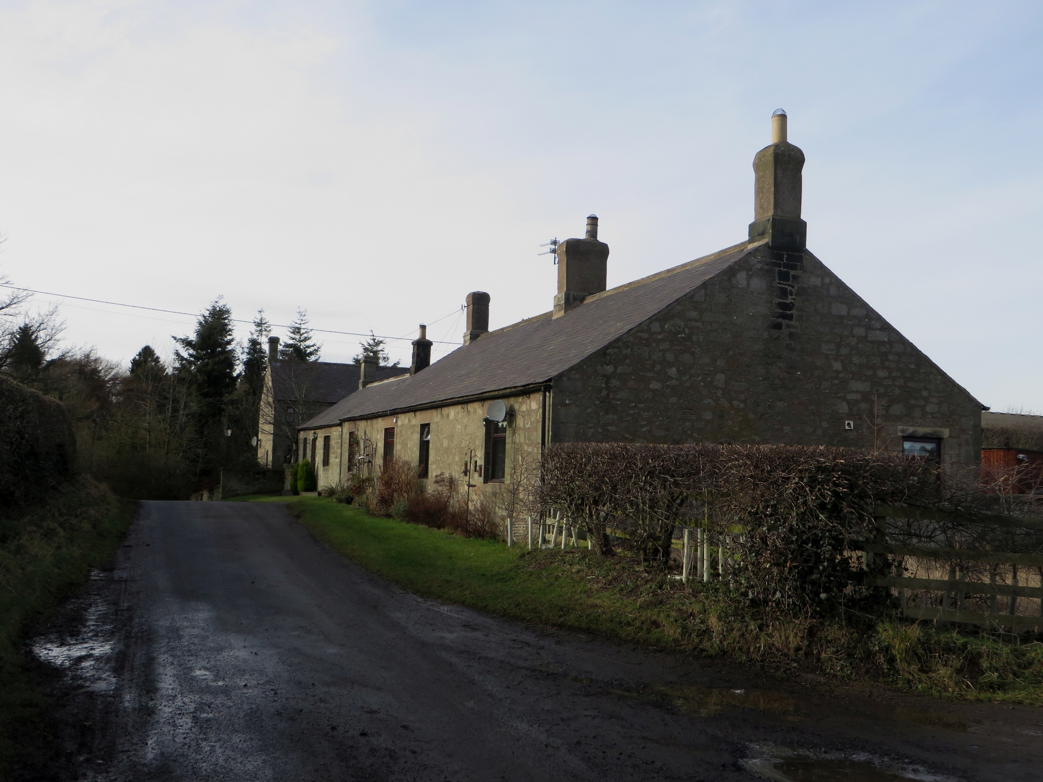
Brada Hill Images

Images are sourced within 2km of 55.599063/-1.7467745 or Grid Reference NU1633. Thanks to Geograph Open Source API. All images are credited.

End of Parking Area on the B1342 near to Budle
Sheep Grazing above Budle Bay
Entrance to Budle Farm Campsite
Budle Bay Shore
Budle Bay Shore
Budle Bay at Waren Mill
B1342 Junction at Waren Mill
The Ducket Known locally as 'The Ducket', the building is a 65 foot high, tapering tower standing four storeys high and was Grade II Listed in 1969. It is shown on the OS map as a windmill and may have been used as a navigation marker, although situated at some distance from the sea. Some sources consider that it was most likely built in the C18th as a pigeon dovecote, providing a source of meat, eggs and manure. 'Ducket' is clearly a corruption of dovecote.

Structural Images of the North East (SINE) alternatively considers that the evidence for the structure's use as a dovecote is weak to non-existent and describes it as the windmill tower of a wind-powered threshing mill, built c1815. If so it is one of only two such towers associated with threshing which survive in Northumberland, the other at Chollerton <a href="https://www.geograph.org.uk/photo/2741429">NY9372 : Chollerton</a>.

With the approval of English Heritage, planning permission was obtained in 2007 to convert the tower into self-catering holiday accommodation with bathroom, bedroom, kitchen and upper viewing gallery.

The tower stands within a medieval moated site. Outchester Farm, shown on maps that pre-date the Ordnance Survey to the east of the tower, was relocated 600m to the west.

Medieval moated site and 18th century dovecote, 600m east of Outchester: <span class="nowrap"><a title="https://historicengland.org.uk/listing/the-list/list-entry/1014570" rel="nofollow ugc noopener" href="https://historicengland.org.uk/listing/the-list/list-entry/1014570">Link</a><img style="margin-left:2px;" alt="External link" title="External link - shift click to open in new window" src="https://s1.geograph.org.uk/img/external.png" width="10" height="10"/></span>
The Ducket
Known locally as 'The Ducket', the building is a 65 foot high, tapering tower standing four storeys high and was Grade II Listed in 1969. It is shown on the OS map as a windmill and may have been used as a navigation marker, although situated at some distance from the sea. Some sources consider that it was most likely built in the C18th as a pigeon dovecote, providing a source of meat, eggs and manure. 'Ducket' is clearly a corruption of dovecote. Structural Images of the North East (SINE) alternatively considers that the evidence for the structure's use as a dovecote is weak to non-existent and describes it as the windmill tower of a wind-powered threshing mill, built c1815. If so it is one of only two such towers associated with threshing which survive in Northumberland, the other at Chollerton NY9372 : Chollerton. With the approval of English Heritage, planning permission was obtained in 2007 to convert the tower into self-catering holiday accommodation with bathroom, bedroom, kitchen and upper viewing gallery. The tower stands within a medieval moated site. Outchester Farm, shown on maps that pre-date the Ordnance Survey to the east of the tower, was relocated 600m to the west. Medieval moated site and 18th century dovecote, 600m east of Outchester: LinkExternal link
Waren Mill, Northumberland Looking along a track in the vicinity of Waren Mill that runs down to Chesterhill Slakes and Budle Bay.
Waren Mill, Northumberland
Looking along a track in the vicinity of Waren Mill that runs down to Chesterhill Slakes and Budle Bay.
Budle, Northumberland Looking along the water edge between the village of Budle and Chesterhill Slakes/Budle Bay.
Budle, Northumberland
Looking along the water edge between the village of Budle and Chesterhill Slakes/Budle Bay.
Budle, Northumberland Looking over farmland towards Kiln Point from the vicinity of Budle. The lime kiln can be seen on the left edge of the image and Budle Bay can be seen in the distance.
Budle, Northumberland
Looking over farmland towards Kiln Point from the vicinity of Budle. The lime kiln can be seen on the left edge of the image and Budle Bay can be seen in the distance.
Lonsdale Hill, Northumberland Looking south over pastureland from the vicinity of Lonsdales Hill in the direction of Shada Plantation.
Lonsdale Hill, Northumberland
Looking south over pastureland from the vicinity of Lonsdales Hill in the direction of Shada Plantation.
Budle, Northumberland Looking north along a track to the east of the hamlet of Budle. Budle Bay can be seen in the distance.
Budle, Northumberland
Looking north along a track to the east of the hamlet of Budle. Budle Bay can be seen in the distance.
Budle Bay
Budle Bay
Budle Bay
Budle Bay
Budle Bay
Budle Bay
The Outchester Ducket This four storey high 18th century tower is a Grade 2 listed building. It was converted to a self-catering holiday home in 2007.
The Outchester Ducket
This four storey high 18th century tower is a Grade 2 listed building. It was converted to a self-catering holiday home in 2007.
Track and footpath to Budle Bay
Waren Burn reaches Budle Bay Budle Bay is part of the Lindisfarne National Nature Reserve. The site contains a wide expanse of mud flats, which are exposed during low tides.  A good variety of Waders and Wildfowl can be found here in large numbers
Waren Burn reaches Budle Bay
Budle Bay is part of the Lindisfarne National Nature Reserve. The site contains a wide expanse of mud flats, which are exposed during low tides. A good variety of Waders and Wildfowl can be found here in large numbers
Show me another place!

Brada Hill is located at Grid Ref: NU1633 (Lat: 55.599063, Lng: -1.7467745)

Unitary Authority: Northumberland

Police Authority: Northumbria

What 3 Words

///swooned.searcher.snowstorm. Near Bamburgh, Northumberland

Nearby Locations

Glororum Brada Hill

Related Wikis

Brada Hill

Brada Hill is a small hill escarpment near the coast of north Northumberland in North East England, designated as a Site of Special Scientific Interest...

Glororum

Glororum is a hamlet and former civil parish, now in the parish of Bamburgh in the county of Northumberland, England, about 1.25 miles (2.01 km) south...

Burton, Northumberland

Burton is a hamlet and former civil parish, now in the parish of Bamburgh, in the county of Northumberland, England. It is situated to the south of the...

Bradford, Adderstone with Lucker

Bradford is a village and former civil parish, now in the parish of Adderstone with Lucker, in the county of Northumberland, England. It is situated to...

Bamburgh

Bamburgh ( BAM-bər-ə) is a village and civil parish on the coast of Northumberland, England. It had a population of 454 in 2001, decreasing to 414 at the...

Waren (port)

Waren, also known as Warn, Waren Bay, Warenmouth and Warenquay, was a seaport at Budle Bay, on the north-east coast of England, the recorded history of...

Bradford Kames

Bradford Kames is the name given to a Site of Special Scientific Interest (SSSI) in north Northumberland, England. The site is an esker, a ridge of glacial...

Monument to Grace Darling

The Monument to Grace Darling, in the churchyard of St Aidan's Church, Bamburgh, Northumberland is a Victorian Gothic memorial. The monument was designed...

Nearby Amenities

Located within 500m of 55.599063,-1.7467745
Toilets
Lat/Long: 55.6021589/-1.7524802
Noexit: yes
Lat/Long: 55.6004476/-1.7460001
Direction: SSW
Generator Method: thermal
Generator Output Hot Water: yes
Generator Solar Modules: 2
Generator Source: solar
Generator Type: solar_thermal_collector
Location: roof
Power: generator
Lat/Long: 55.6008113/-1.7453483
Direction: SSE
Generator Method: thermal
Generator Output Hot Water: yes
Generator Solar Modules: 2
Generator Source: solar
Generator Type: solar_thermal_collector
Location: roof
Power: generator
Lat/Long: 55.600237/-1.7460959
Direction: 190
Generator Method: thermal
Generator Output Hot Water: yes
Generator Solar Modules: 2
Generator Source: solar
Generator Type: solar_thermal_collector
Location: roof
Power: generator
Lat/Long: 55.6005279/-1.7465754
Direction: 195
Generator Method: thermal
Generator Output Hot Water: yes
Generator Solar Modules: 2
Generator Source: solar
Generator Type: solar_thermal_collector
Location: roof
Power: generator
Lat/Long: 55.6006037/-1.746279
Direction: S
Generator Method: thermal
Generator Output Hot Water: yes
Generator Solar Modules: 2
Generator Source: solar
Generator Type: solar_thermal_collector
Location: roof
Power: generator
Lat/Long: 55.6007408/-1.7468114
Direction: S
Generator Method: thermal
Generator Output Hot Water: yes
Generator Solar Modules: 2
Generator Source: solar
Generator Type: solar_thermal_collector
Location: roof
Power: generator
Lat/Long: 55.6008837/-1.746737
Direction: 190
Generator Method: thermal
Generator Output Hot Water: yes
Generator Solar Modules: 2
Generator Source: solar
Generator Type: solar_thermal_collector
Location: roof
Power: generator
Lat/Long: 55.6010128/-1.7465875
Generator Method: thermal
Generator Output Hot Water: yes
Generator Solar Modules: 2
Generator Source: solar
Generator Type: solar_thermal_collector
Location: roof
Power: generator
Lat/Long: 55.600351/-1.7464567
The data included in this document is from www.openstreetmap.org. The data is made available under ODbL.

Have you been to Brada Hill?

Leave your review of Brada Hill below (or comments, questions and feedback).