Black Hill
Hill, Mountain in Yorkshire Richmondshire
England
Black Hill
Black Hill is a prominent hill located in the county of Yorkshire, England. It is part of the Pennine Range and is situated on the border between Yorkshire and Greater Manchester. Standing at an impressive height of 582 meters (1,909 feet), it offers breathtaking views of the surrounding countryside.
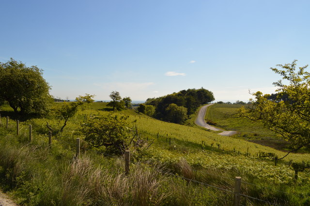
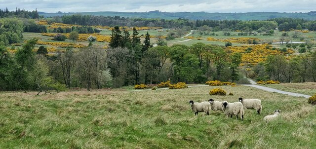
The hill is characterized by its rugged and rocky terrain, with a large portion of its surface covered in heather and grass. It is a popular destination for hikers and nature enthusiasts, attracting visitors from all over the country. The hill is also home to a variety of wildlife, including birds, rabbits, and occasionally, wild deer.
Black Hill has a rich history, with evidence of human activity dating back thousands of years. Archaeological excavations have revealed Neolithic and Bronze Age artifacts in the vicinity of the hill, suggesting that it was inhabited during these periods. Additionally, remnants of ancient settlements and structures, such as cairns and stone circles, can still be found in the area.
The hill is traversed by several walking trails, including the Pennine Way, a long-distance footpath that stretches from Derbyshire to the Scottish Borders. Hikers can enjoy a challenging climb to the summit, where they are rewarded with panoramic views of the surrounding moorland and valleys.
Overall, Black Hill is a captivating natural landmark in Yorkshire, offering a blend of stunning scenery, rich history, and excellent hiking opportunities for outdoor enthusiasts.
If you have any feedback on the listing, please let us know in the comments section below.
Black Hill Images
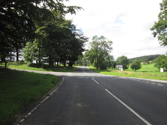
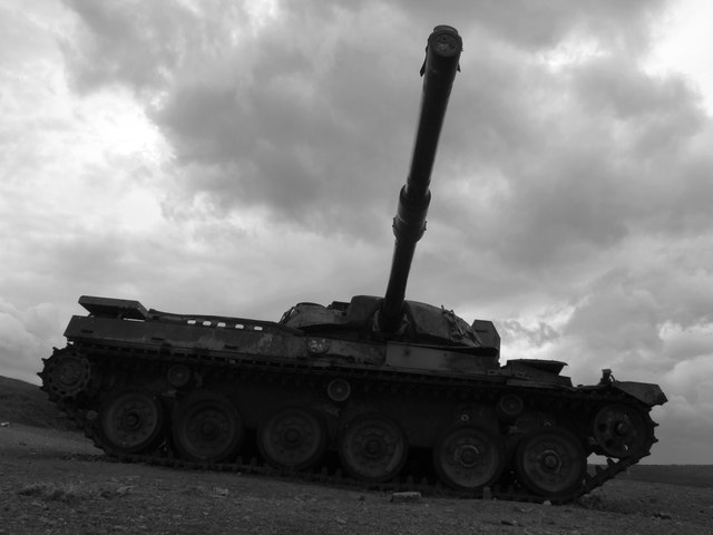
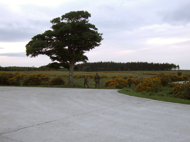
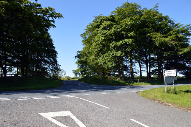
Images are sourced within 2km of 54.361443/-1.7542375 or Grid Reference SE1696. Thanks to Geograph Open Source API. All images are credited.


![Barden Lane Latest edition OS maps show this now as a 'Byway open to all traffic' [BOAT] which would suggest a change of grading from county road.](https://s0.geograph.org.uk/geophotos/04/60/07/4600756_bdb76268.jpg)


Black Hill is located at Grid Ref: SE1696 (Lat: 54.361443, Lng: -1.7542375)
Division: North Riding
Administrative County: North Yorkshire
District: Richmondshire
Police Authority: North Yorkshire
What 3 Words
///resting.filer.ownership. Near Catterick Garrison, North Yorkshire
Nearby Locations
Related Wikis
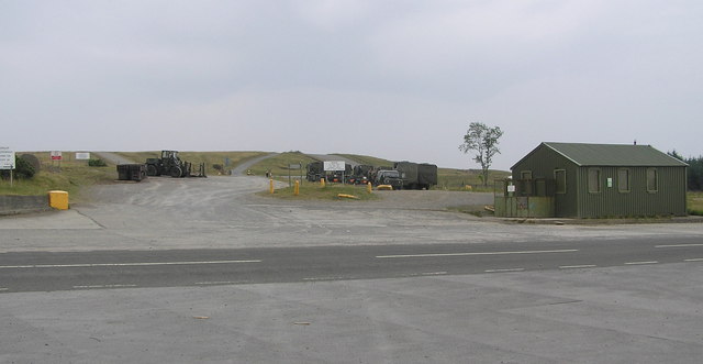
Hipswell Moor
Hipswell Moor is an area used for military training, near Catterick Garrison in North Yorkshire, England. It includes parts of the civil parishes of Barden...

Army Ground, Catterick
The Army Ground was a cricket ground in Catterick Garrison, North Yorkshire. The Garrison was established in 1914 and construction of a cricket ground...
Catterick Camp railway station
Catterick Camp railway station was a railway station in what is now the Richmondshire district of North Yorkshire, England. It was built as the terminus...

Barden, Richmondshire
Barden is a hamlet and civil parish in North Yorkshire, England. It is about 5 miles (8 km) south of Richmond. According to the 2001 census the parish...
Nearby Amenities
Located within 500m of 54.361443,-1.7542375Have you been to Black Hill?
Leave your review of Black Hill below (or comments, questions and feedback).