Law Hill

Hill, Mountain in Yorkshire

England

Law Hill

Old milestone One of the 615 milestones set up for the newly formed West Riding County Council in 1893/94.  Over half still remain by the roadside.  In the Contract they were to be painted blue with white letters but then black letters on white was used, perhaps easier to read.  This one on the west side of the B6106 just south of the junction to Dunford Bridge was black with all legends white when first recorded by the Milestone Society in 2002. By 2021 it had been repainted but the place names and mileages left unfinished.
Old milestone Credit: Chris Minto

Law Hill is a prominent geographical feature located in Yorkshire, England. It is classified as a hill and is situated in the county of North Yorkshire, specifically within the district of Harrogate. With an elevation of approximately 402 meters (1,319 feet), Law Hill offers breathtaking views of the surrounding landscape.

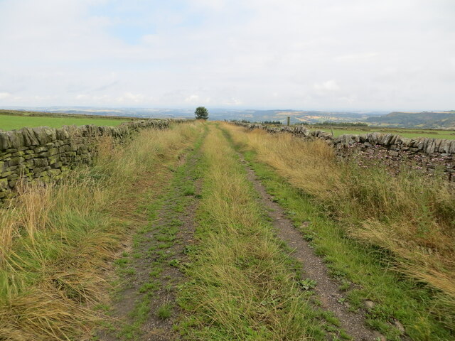
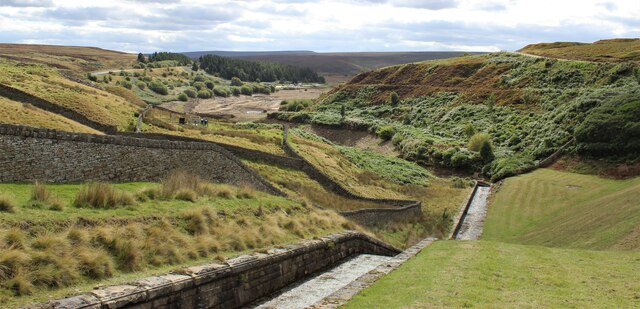
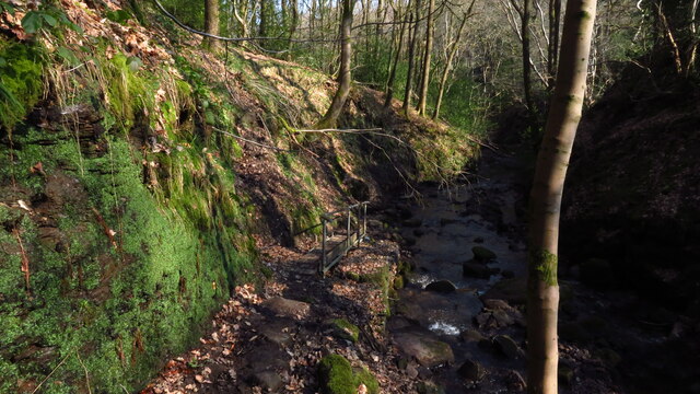
The hill is characterized by its distinctive shape, with a relatively steep ascent that gradually levels out near the summit. It is composed primarily of sandstone, resulting in a rugged and rocky terrain. Law Hill is a popular destination for hikers and outdoor enthusiasts, who are drawn to its challenging yet rewarding trails.

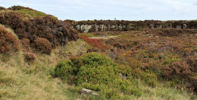
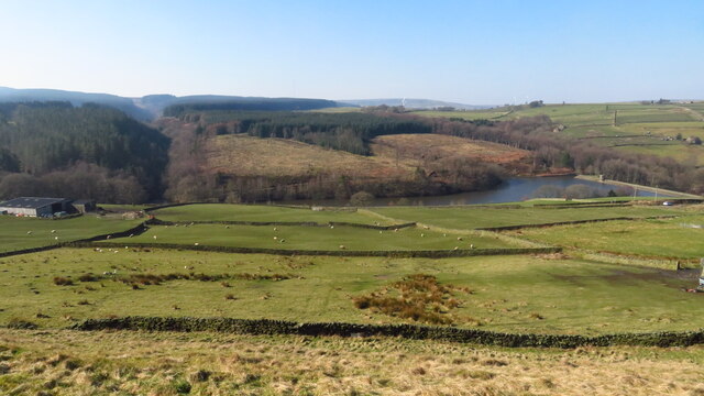
The hill is encompassed by lush vegetation, including heather, grasses, and scattered trees. This diverse ecosystem supports a variety of wildlife, such as birds, rabbits, and foxes. The area surrounding Law Hill is also known for its rich cultural heritage, with several archaeological sites dating back to the Neolithic and Bronze Age periods.

Law Hill has historical significance as well, with evidence of human activity dating back thousands of years. It is believed that the hill was used as a defensive stronghold during ancient times, due to its strategic location and commanding views of the surrounding countryside.

Overall, Law Hill is a captivating natural landmark that offers both scenic beauty and historical intrigue. Whether one seeks to challenge themselves with a hike or simply immerse themselves in the tranquility of nature, Law Hill is a must-visit destination for anyone exploring Yorkshire.

If you have any feedback on the listing, please let us know in the comments section below.
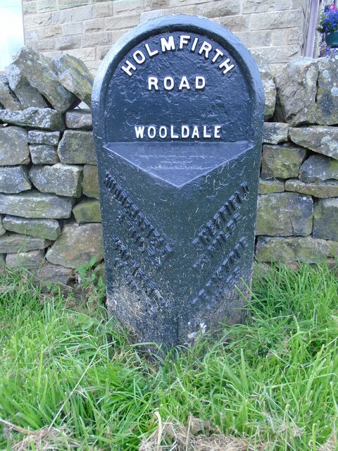
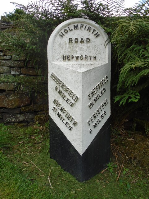
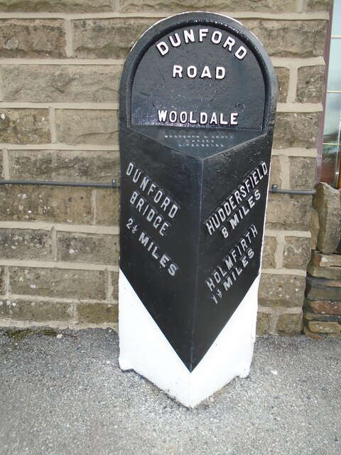
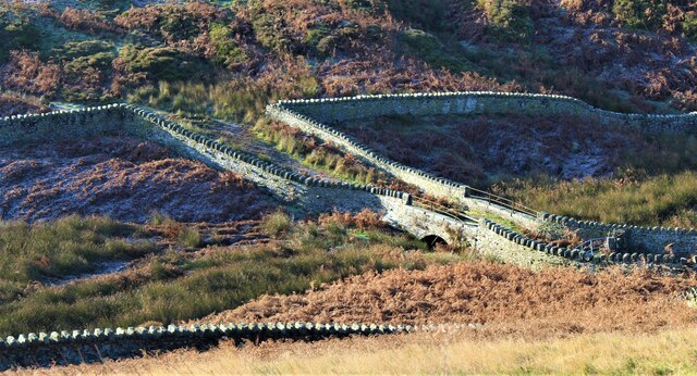
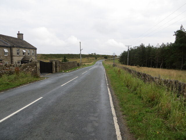
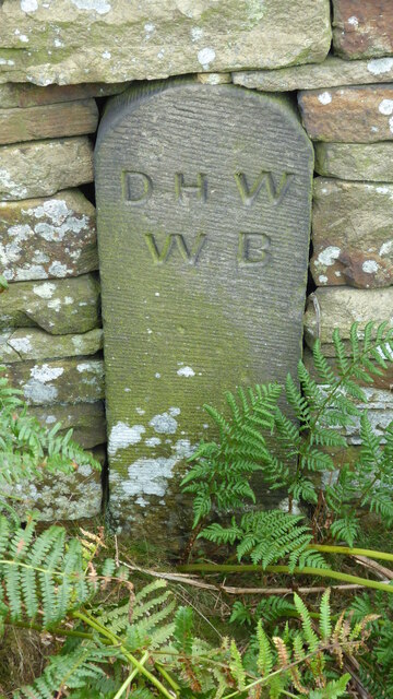
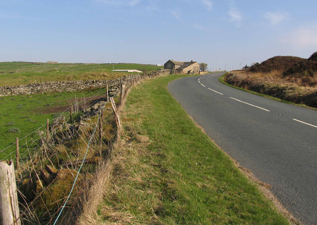
Law Hill Images

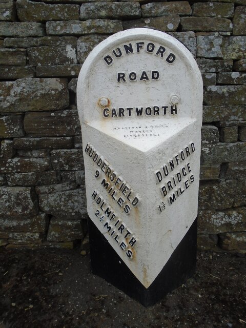
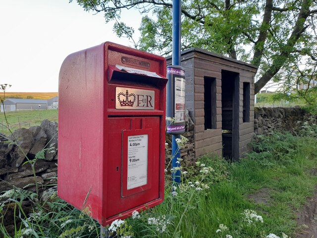
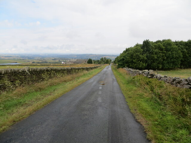
Images are sourced within 2km of 53.537825/-1.7594349 or Grid Reference SE1604. Thanks to Geograph Open Source API. All images are credited.

Old milestone One of the 615 milestones set up for the newly formed West Riding County Council in 1893/94.  Over half still remain by the roadside.  In the Contract they were to be painted blue with white letters but then black letters on white was used, perhaps easier to read.  This one on the west side of the B6106 just south of the junction to Dunford Bridge was black with all legends white when first recorded by the Milestone Society in 2002. By 2021 it had been repainted but the place names and mileages left unfinished.
Old milestone
One of the 615 milestones set up for the newly formed West Riding County Council in 1893/94. Over half still remain by the roadside. In the Contract they were to be painted blue with white letters but then black letters on white was used, perhaps easier to read. This one on the west side of the B6106 just south of the junction to Dunford Bridge was black with all legends white when first recorded by the Milestone Society in 2002. By 2021 it had been repainted but the place names and mileages left unfinished.
Old WRCC milestone At the top of the grassy banking in front of a stone house, this milestone was repainted in 2018.  It is on the south side of the B6106 on a bend in the road.   The metal attachment on these stones is 100cm high but there will be a further 20cms of backing stone under soil level.   This attachment was forged at the Brayshaw and Booth foundry in Liversedge.
Old WRCC milestone
At the top of the grassy banking in front of a stone house, this milestone was repainted in 2018. It is on the south side of the B6106 on a bend in the road. The metal attachment on these stones is 100cm high but there will be a further 20cms of backing stone under soil level. This attachment was forged at the Brayshaw and Booth foundry in Liversedge.
Old milestone At Hade Edge where the minor road to Dunford Bridge leaves the B6106 with its back to a house wall, is another of the 1893/94 WRCC milestones.  This one has silver painted letters on a black background.  These milestones are now, usually, painted white with black legends but this is well kept and easy to read.
Old milestone
At Hade Edge where the minor road to Dunford Bridge leaves the B6106 with its back to a house wall, is another of the 1893/94 WRCC milestones. This one has silver painted letters on a black background. These milestones are now, usually, painted white with black legends but this is well kept and easy to read.
Bridge over Harden Clough
Old milestone There are just two 19C West Riding CC milestones on Dunford Road from the B6106 at Hade Edge towards Dunford Bridge.   This one is just south of the West Yorkshire/South Yorkshire boundary at the Bare Bones Road/Flight Hill cross-roads.   Both have been painted expertly recently and the foundry name, Brayshaw & Booth, Liversedge is on the bevel.

Milestone Society National ID: YW_HUDB09
Old milestone
There are just two 19C West Riding CC milestones on Dunford Road from the B6106 at Hade Edge towards Dunford Bridge. This one is just south of the West Yorkshire/South Yorkshire boundary at the Bare Bones Road/Flight Hill cross-roads. Both have been painted expertly recently and the foundry name, Brayshaw & Booth, Liversedge is on the bevel. Milestone Society National ID: YW_HUDB09
Post Box at Townhead S36 698. Royal Mail list this box as 'Townhead'.
Post Box at Townhead
S36 698. Royal Mail list this box as 'Townhead'.
Wall enclosed Law Slack Road Looking north-eastward in the direction of Green Gate and Law Head.
Wall enclosed Law Slack Road
Looking north-eastward in the direction of Green Gate and Law Head.
Wall enclosed track near Law Head Looking north-westward. Use by the Barnsley Boundary Walk.
Wall enclosed track near Law Head
Looking north-westward. Use by the Barnsley Boundary Walk.
Bedding Edge Road at Law Bottom Cottage Looking north-eastward.
Bedding Edge Road at Law Bottom Cottage
Looking north-eastward.
Disused quarry at Harden Clough
The run-off to Winscar Reservoir The run-off to Winscar Reservoir, showing the low water level.
The run-off to Winscar Reservoir
The run-off to Winscar Reservoir, showing the low water level.
Farmland & Holme Styes Reservoir W of Hade Edge
Path through Morton Wood, Dean Dike near Hepworth
Old milestone This West Riding CC milestone was one of 615 set up in 1893/94 all over the old West Riding.   Over half are still in situ from south of Rotherham, across the Pennines in Saddleworth, north as far as Sedbergh and eastwards to Harrogate and York.   Since the reorganisation in 1974 it is now just in Barnsley, South Yorkshire.   It is Grade II listed 1151137.
Old milestone
This West Riding CC milestone was one of 615 set up in 1893/94 all over the old West Riding. Over half are still in situ from south of Rotherham, across the Pennines in Saddleworth, north as far as Sedbergh and eastwards to Harrogate and York. Since the reorganisation in 1974 it is now just in Barnsley, South Yorkshire. It is Grade II listed 1151137.
Old Boundary Marker on Snailsden Bridge, Dunford Water Company Boundary Marker set in a drystone wall on Snailsden Bridge crossing Harden Dike, leading to Harden Reservoir. Dunford parish. Inscribed D H W / W B. In the early 1860's the Dewsbury and Heckmondwike Water Works Board purchased five parcels of land a few miles South of Holmfirth to build reservoirs. The first two, Snailsden and Harden, are ringed by about 90 boundary stones which can be found on 19C maps marked as "stones".

Milestone Society National ID: YW_DUNF51em
Old Boundary Marker on Snailsden Bridge, Dunford
Water Company Boundary Marker set in a drystone wall on Snailsden Bridge crossing Harden Dike, leading to Harden Reservoir. Dunford parish. Inscribed D H W / W B. In the early 1860's the Dewsbury and Heckmondwike Water Works Board purchased five parcels of land a few miles South of Holmfirth to build reservoirs. The first two, Snailsden and Harden, are ringed by about 90 boundary stones which can be found on 19C maps marked as "stones". Milestone Society National ID: YW_DUNF51em
Old Boundary Marker on Snailsden Bridge, Dunford Water Company Boundary Marker set in a drystone wall on Snailsden Bridge crossing Harden Dike, leading to Harden Reservoir. Dunford parish. Inscribed D H W / W B. In the early 1860's the Dewsbury and Heckmondwike Water Works Board purchased five parcels of land a few miles South of Holmfirth to build reservoirs. The first two, Snailsden and Harden, are ringed by about 90 boundary stones which can be found on 19C maps marked as "stones".

Milestone Society National ID: YW_DUNF52em
Old Boundary Marker on Snailsden Bridge, Dunford
Water Company Boundary Marker set in a drystone wall on Snailsden Bridge crossing Harden Dike, leading to Harden Reservoir. Dunford parish. Inscribed D H W / W B. In the early 1860's the Dewsbury and Heckmondwike Water Works Board purchased five parcels of land a few miles South of Holmfirth to build reservoirs. The first two, Snailsden and Harden, are ringed by about 90 boundary stones which can be found on 19C maps marked as "stones". Milestone Society National ID: YW_DUNF52em
Old Boundary Marker on Snailsden Bridge, Dunford Water Company Boundary Marker set in a drystone wall on Snailsden Bridge crossing Harden Dike, leading to Harden Reservoir. Dunford parish. Inscribed D H W / W B. In the early 1860's the Dewsbury and Heckmondwike Water Works Board purchased five parcels of land a few miles South of Holmfirth to build reservoirs. The first two, Snailsden and Harden, are ringed by about 90 boundary stones which can be found on 19C maps marked as "stones". See also <a title="https://www.geograph.org.uk/photo/6170726" href="https://www.geograph.org.uk/photo/6170726">Link</a> and <a title="https://www.geograph.org.uk/photo/6170736" href="https://www.geograph.org.uk/photo/6170736">Link</a>.

Milestone Society National ID: YW_DUNF04em
Old Boundary Marker on Snailsden Bridge, Dunford
Water Company Boundary Marker set in a drystone wall on Snailsden Bridge crossing Harden Dike, leading to Harden Reservoir. Dunford parish. Inscribed D H W / W B. In the early 1860's the Dewsbury and Heckmondwike Water Works Board purchased five parcels of land a few miles South of Holmfirth to build reservoirs. The first two, Snailsden and Harden, are ringed by about 90 boundary stones which can be found on 19C maps marked as "stones". See also Link and Link. Milestone Society National ID: YW_DUNF04em
Dunford Road towards Dunford Bridge The house is Lamb's Cote.
Dunford Road towards Dunford Bridge
The house is Lamb's Cote.
Show me another place!

Law Hill is located at Grid Ref: SE1604 (Lat: 53.537825, Lng: -1.7594349)

Division: West Riding

Unitary Authority: Kirklees

Police Authority: West Yorkshire

What 3 Words

///slicer.raves.narrating. Near Holmfirth, West Yorkshire

Nearby Locations

Law Hill Fox House Moss

Related Wikis

Hade Edge

Hade Edge is a small village to the south of Holmfirth and southeast of Hepworth in West Yorkshire, England. It is in the parish of Holme Valley and the...
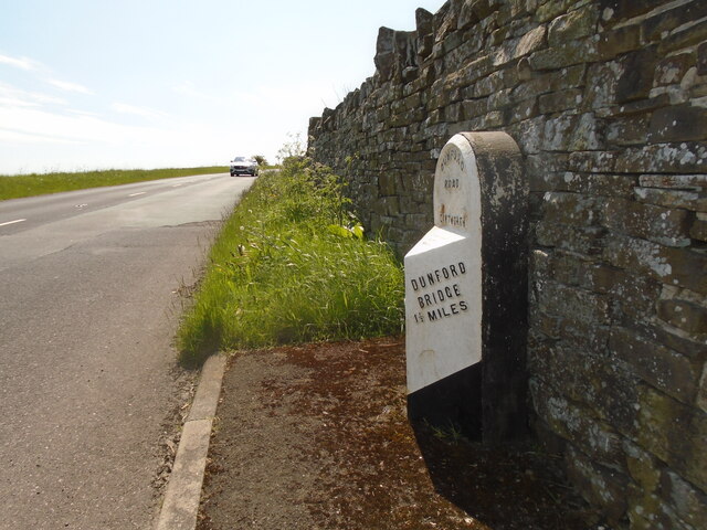
Dunford

Dunford is a civil parish in the Metropolitan Borough of Barnsley, 14.5 miles (23.3 km) northwest of Sheffield in South Yorkshire, England. It lies in...

Barnside

Barnside is a hamlet on Barnside Lane approximately 3/4 mile to the southeast of Hepworth in West Yorkshire, England. It is in the civic parish of Holme...

Winscar Reservoir

Winscar Reservoir (also known as Winscar dam), is a compensation reservoir on the headwaters of the River Don in South Yorkshire, England. The reservoir...

Nearby Amenities

Located within 500m of 53.537825,-1.7594349
Power: pole
Lat/Long: 53.5404804/-1.7543725
Power: pole
Lat/Long: 53.5406866/-1.7560855
Power: pole
Lat/Long: 53.5407875/-1.7567756
Power: pole
Lat/Long: 53.5409013/-1.7579647
Power: pole
Lat/Long: 53.541043/-1.7591265
Power: pole
Lat/Long: 53.541124/-1.7598653
Power: pole
Lat/Long: 53.5412481/-1.7607041
Power: pole
Lat/Long: 53.541286/-1.7616102
Power: pole
Lat/Long: 53.5413491/-1.762633
Power: pole
Lat/Long: 53.5413785/-1.7634505
Power: pole
Lat/Long: 53.5405728/-1.7552148
Power: pole
Lat/Long: 53.540366/-1.7534841
Marker: aerial
Lat/Long: 53.5356912/-1.7643326
The data included in this document is from www.openstreetmap.org. The data is made available under ODbL.

Have you been to Law Hill?

Leave your review of Law Hill below (or comments, questions and feedback).