Coney Hill
Hill, Mountain in Northumberland
England
Coney Hill
Coney Hill is a prominent hill located in Northumberland, a county in the northeast of England. It is situated within the North Pennines Area of Outstanding Natural Beauty, offering stunning views and picturesque landscapes. The hill is part of the Pennine Chain, a range of hills and mountains that stretches across northern England.
Rising to a height of approximately 1,721 feet (525 meters), Coney Hill is a popular destination for hikers and nature enthusiasts. Its summit provides a fantastic vantage point, allowing visitors to admire the surrounding countryside, including the nearby Cheviot Hills and the Northumberland National Park.
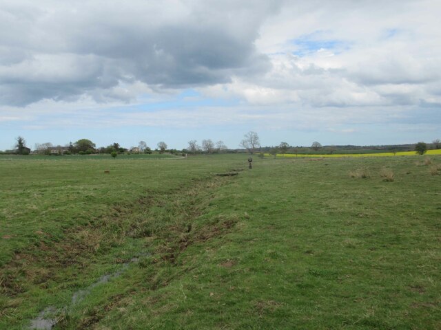
The hill is covered with a mix of grasses and heather, creating a beautiful and diverse habitat for various plant and animal species. It is particularly known for its breeding bird population, with species such as curlew, lapwing, and red grouse commonly found in the area.
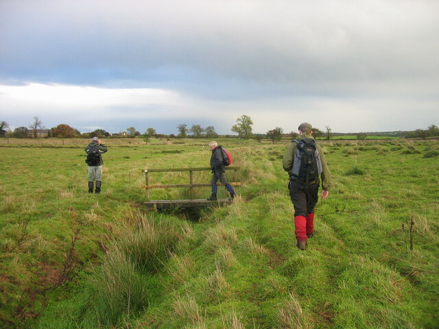
Coney Hill is easily accessible, with several footpaths leading to its summit. These paths offer different levels of difficulty, catering to both experienced walkers and those seeking a more leisurely stroll. Along the way, visitors can enjoy the tranquility of the Northumberland countryside, with its rolling hills, charming streams, and abundant wildlife.
Overall, Coney Hill is a natural gem within Northumberland, offering visitors a chance to experience the beauty and serenity of the North Pennines. Whether you're an avid hiker or simply looking for a peaceful retreat, this hill is a must-visit destination for anyone exploring the region.
If you have any feedback on the listing, please let us know in the comments section below.
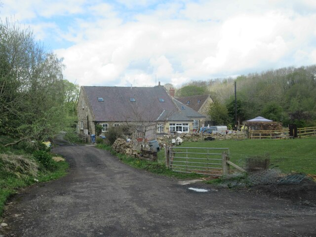
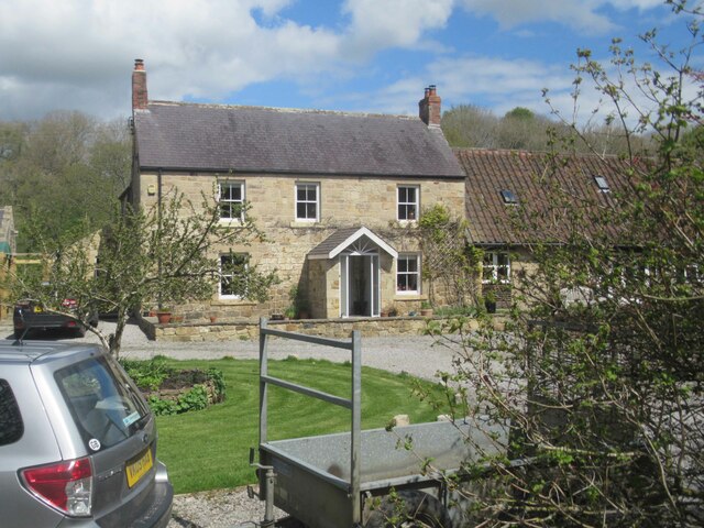
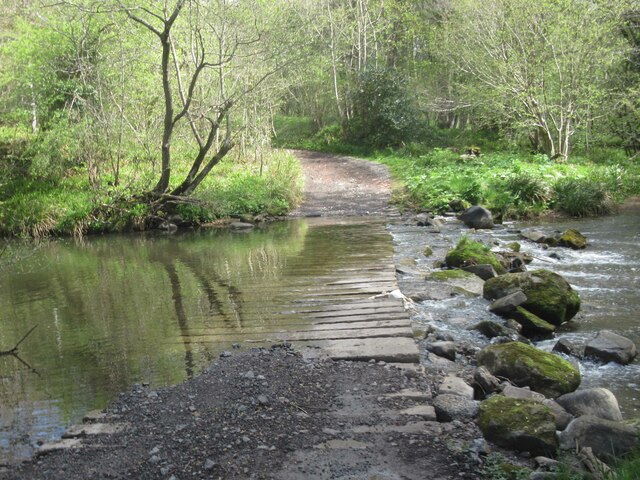
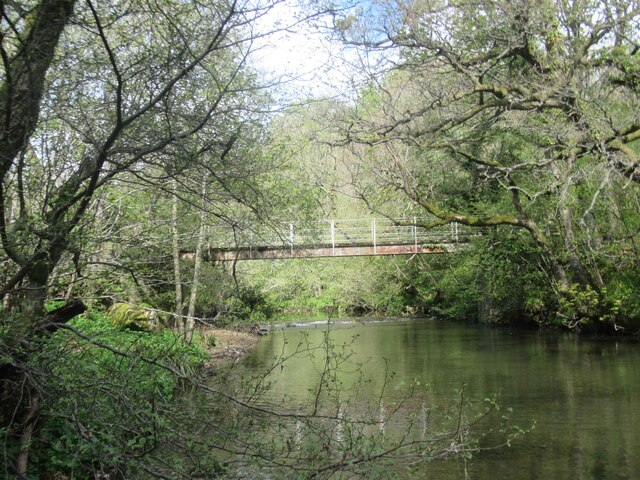
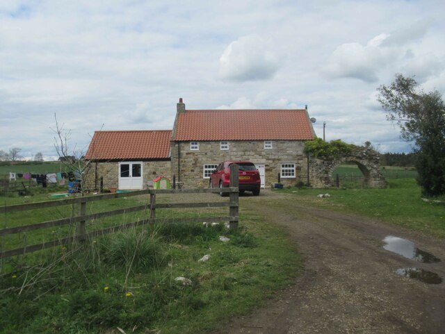
Coney Hill Images
Images are sourced within 2km of 55.165908/-1.7497907 or Grid Reference NZ1685. Thanks to Geograph Open Source API. All images are credited.

Coney Hill is located at Grid Ref: NZ1685 (Lat: 55.165908, Lng: -1.7497907)
Unitary Authority: Northumberland
Police Authority: Northumbria
What 3 Words
///buffoon.hazy.nozzle. Near Morpeth, Northumberland
Nearby Locations
Related Wikis

Mitford Hall
Mitford Hall is a Georgian mansion house and Grade II* listed building standing in its own 85-acre (34 ha) park overlooking the River Wansbeck at Mitford...

Mitford Old Manor House
Mitford Old Manor House is an historic English manor house at Mitford, Northumberland, and is a Grade II* listed building. The Manor of Mitford was held...
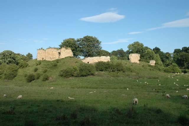
Mitford Castle
Mitford Castle is an English castle dating from the end of the 11th century and located at Mitford, Northumberland. It is a Scheduled Ancient Monument...
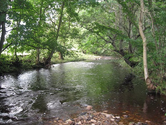
River Font
The River Font is a river that flows through Northumberland, England. The river is a tributary of the River Wansbeck which it joins at Mitford. == References... ==

Mitford, Northumberland
Mitford is a village in Northumberland, England, located 2 miles (3 km) west of Morpeth. == History == Although the foundation of Mitford is unknown, it...
Pigdon
Pigdon is a hamlet and former civil parish 3 miles (4.8 km) from Morpeth, now in the parish of Meldon, in the county of Northumberland, England. In 1951...
Morpeth Town A.F.C.
Morpeth Town Association Football Club is a football club based in Morpeth, Northumberland, England. They are currently members of the Northern Premier...

Newminster Abbey
Newminster Abbey was a Cistercian abbey in Northumberland in the north of England. The site is protected by Grade II listed building and Scheduled Ancient...
Nearby Amenities
Located within 500m of 55.165908,-1.7497907Have you been to Coney Hill?
Leave your review of Coney Hill below (or comments, questions and feedback).