Copse Hill
Hill, Mountain in Gloucestershire Cotswold
England
Copse Hill
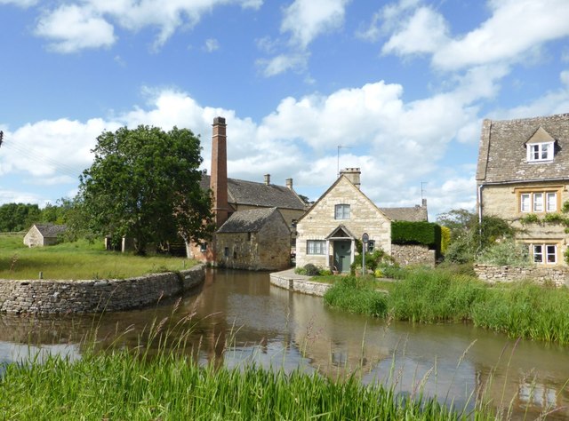
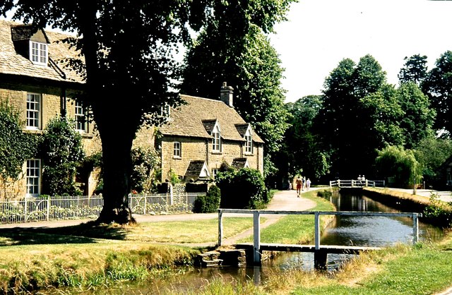
Copse Hill is a prominent hill located in the county of Gloucestershire, England. Situated near the village of Lower Slaughter, it is part of the picturesque Cotswolds region, renowned for its stunning natural beauty. With an elevation of approximately 246 meters (807 feet), Copse Hill stands as one of the higher peaks in the surrounding area.
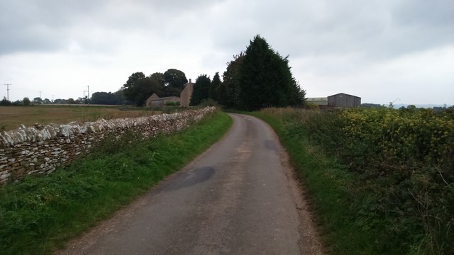
The hill is characterized by its gentle slopes and is covered with a mixture of grassland and trees, primarily oak and beech. These woodlands provide a habitat for a variety of wildlife, including deer, foxes, and various bird species. The lush greenery and scenic views make Copse Hill a popular spot for nature enthusiasts and hikers.
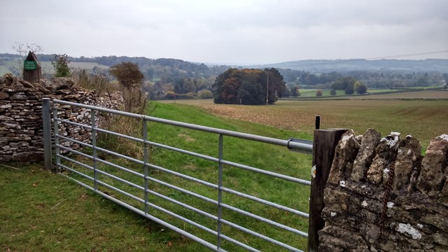
At the top of the hill, there is a trig point, which serves as a marker for surveying purposes. This point offers panoramic vistas of the rolling countryside, with glimpses of nearby villages and farmland. On clear days, it is even possible to see as far as the Malvern Hills and the Welsh mountains to the west.
Copse Hill is also steeped in history, with evidence of Iron Age and Roman settlements in the area. The hill has been the subject of archaeological investigations, unearthing artifacts that provide insight into the region's past.
Overall, Copse Hill in Gloucestershire offers visitors a chance to immerse themselves in the beauty of the Cotswolds, providing breathtaking views, diverse wildlife, and a glimpse into the area's rich history.
If you have any feedback on the listing, please let us know in the comments section below.
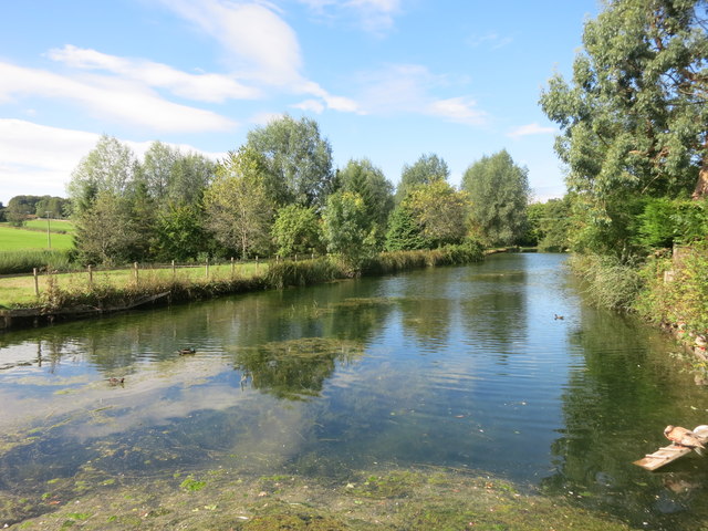
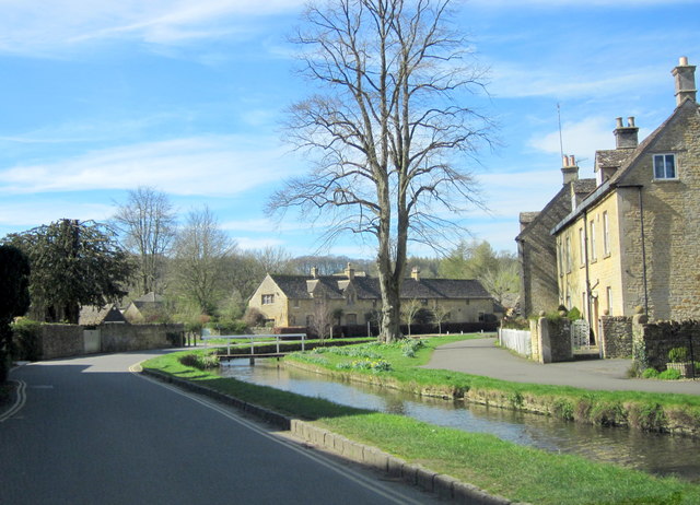
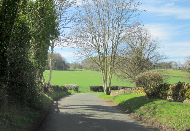
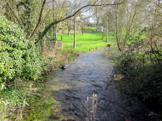
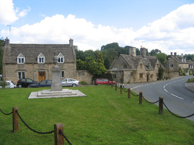
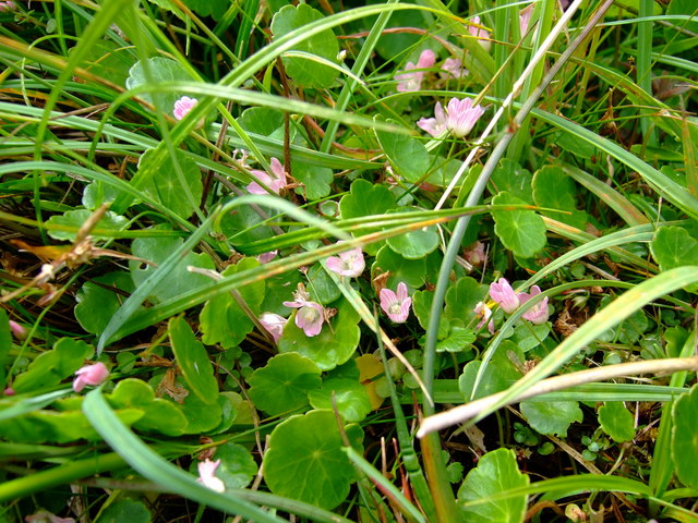
Copse Hill Images
Images are sourced within 2km of 51.914043/-1.7690856 or Grid Reference SP1523. Thanks to Geograph Open Source API. All images are credited.


Copse Hill is located at Grid Ref: SP1523 (Lat: 51.914043, Lng: -1.7690856)
Administrative County: Gloucestershire
District: Cotswold
Police Authority: Gloucestershire
What 3 Words
///brass.spades.fallback. Near Bourton on the Water, Gloucestershire
Nearby Locations
Related Wikis

Upper Slaughter
Upper Slaughter is a village in the Cotswold district of Gloucestershire, England, 4 miles (6.4 km) south west of Stow-on-the-Wold. The village lies off...

Lower Slaughter
Lower Slaughter is a village in the Cotswold district of Gloucestershire, England, 4 miles (6.4 km) south west of Stow-on-the-Wold. The village is built...
Lower Swell
Lower Swell is a village and former civil parish, now in the parish of Swell, in the Cotswold district, in the county of Gloucestershire, England. It is...
Lower Swell War Memorial
Lower Swell War Memorial is a First World War memorial in the centre of the village of Lower Swell in Gloucestershire in south-western England. The memorial...
Brassey SSSI
Brassey (grid reference SP139223) is a 2.1-hectare (5.2-acre) biological Site of Special Scientific Interest in Gloucestershire, notified in 1954 and renotified...

Swell, Gloucestershire
Swell is a civil parish in the Cotswold district, in the county of Gloucestershire, England. The population of the civil parish taken at the 2011 census...

Bourton-on-the-Water railway station
Bourton-on-the-Water railway station was a Gloucestershire railway station on the Great Western Railway's Banbury and Cheltenham Direct Railway which opened...

Quarwood
Quarwood or Quar Wood is a Victorian manor near Stow-on-the-Wold, Gloucestershire, England. It was formerly owned by The Who's bassist John Entwistle....
Nearby Amenities
Located within 500m of 51.914043,-1.7690856Have you been to Copse Hill?
Leave your review of Copse Hill below (or comments, questions and feedback).