Cress Coppice
Wood, Forest in Gloucestershire Cotswold
England
Cress Coppice
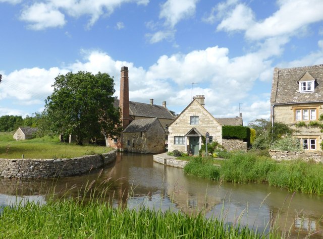
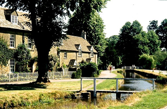
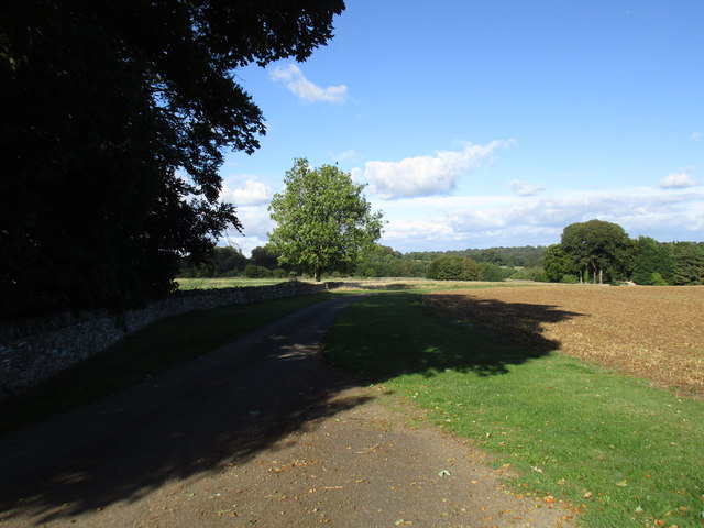
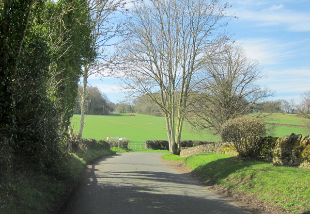
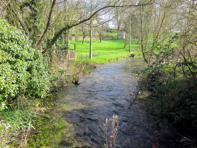
Cress Coppice is a serene and picturesque woodland located in Gloucestershire, England. Covering an area of approximately 20 hectares, it is nestled within the captivating countryside of the Cotswolds. The coppice is characterized by its dense and diverse vegetation, consisting primarily of native deciduous trees such as oak, ash, and beech. These majestic trees create a rich canopy that provides shade and shelter for a myriad of wildlife species.
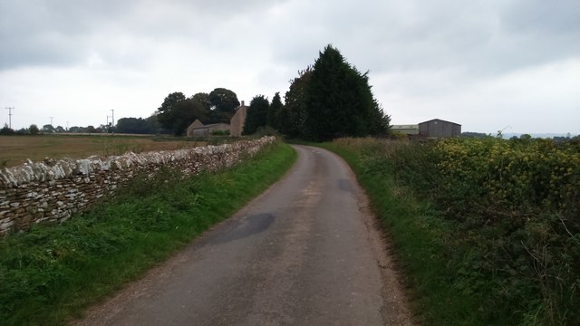
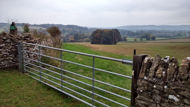
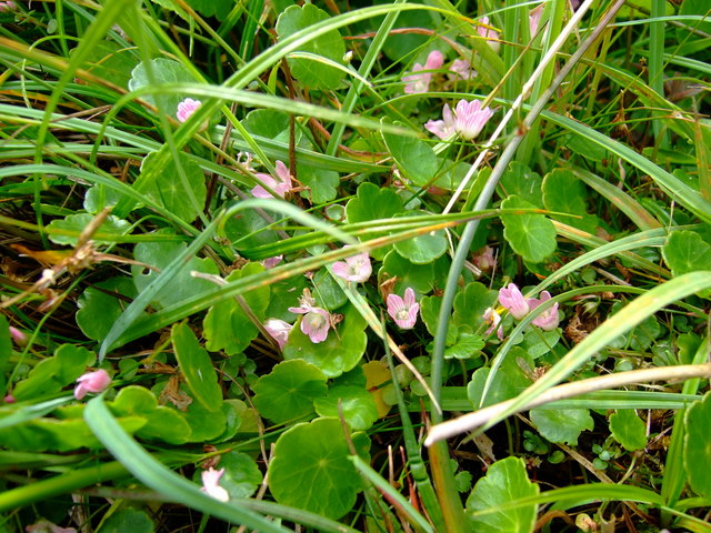
As visitors explore Cress Coppice, they will encounter a tranquil and enchanting atmosphere. The forest floor is adorned with a vibrant carpet of wildflowers, including bluebells, primroses, and foxgloves, adding splashes of color to the green surroundings. The woodland is crisscrossed by a network of footpaths and trails, inviting nature enthusiasts to wander through its enchanting scenery.
Besides its natural beauty, Cress Coppice also holds historical significance. It is believed to have been used as a traditional coppice woodland, where trees were regularly cut down to provide timber for various purposes such as firewood and building materials. This sustainable management practice has contributed to the coppice's unique ecological characteristics and diverse range of flora and fauna.
Cress Coppice is not only a haven for wildlife and a place of tranquility but also a popular destination for outdoor activities. Visitors can enjoy walking, birdwatching, or simply immersing themselves in the soothing sounds and scents of nature. The woodland's accessibility and close proximity to nearby villages and towns make it a cherished natural gem for both locals and tourists alike.
If you have any feedback on the listing, please let us know in the comments section below.
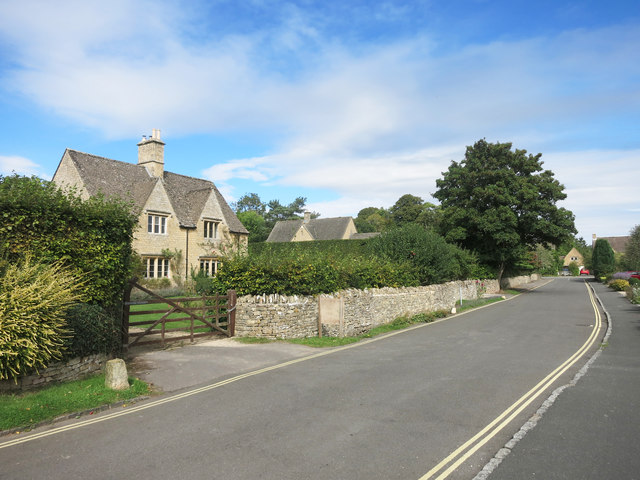
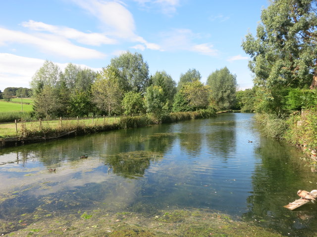
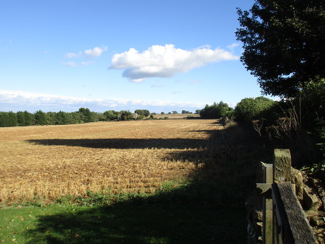
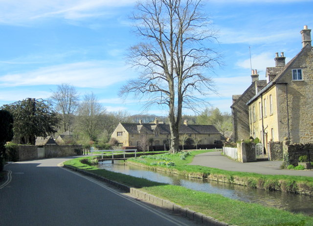
Cress Coppice Images
Images are sourced within 2km of 51.913039/-1.7802559 or Grid Reference SP1523. Thanks to Geograph Open Source API. All images are credited.


Cress Coppice is located at Grid Ref: SP1523 (Lat: 51.913039, Lng: -1.7802559)
Administrative County: Gloucestershire
District: Cotswold
Police Authority: Gloucestershire
What 3 Words
///solid.swerving.boldest. Near Bourton on the Water, Gloucestershire
Nearby Locations
Related Wikis

Upper Slaughter
Upper Slaughter is a village in the Cotswold district of Gloucestershire, England, 4 miles (6.4 km) south west of Stow-on-the-Wold. The village lies off...

Lower Slaughter
Lower Slaughter is a village in the Cotswold district of Gloucestershire, England, 4 miles (6.4 km) south west of Stow-on-the-Wold. The village is built...
Brassey SSSI
Brassey (grid reference SP139223) is a 2.1-hectare (5.2-acre) biological Site of Special Scientific Interest in Gloucestershire, notified in 1954 and renotified...

Harford Railway Cutting
Harford Railway Cutting (SP135218 to SP141215) is a 1.2-hectare (3.0-acre) geological Site of Special Scientific Interest in Gloucestershire, notified...
Lower Swell
Lower Swell is a village and former civil parish, now in the parish of Swell, in the Cotswold district, in the county of Gloucestershire, England. It is...
Lower Swell War Memorial
Lower Swell War Memorial is a First World War memorial in the centre of the village of Lower Swell in Gloucestershire in south-western England. The memorial...

Bourton-on-the-Water railway station
Bourton-on-the-Water railway station was a Gloucestershire railway station on the Great Western Railway's Banbury and Cheltenham Direct Railway which opened...

The Cotswold School
The Cotswold School is an 11 to 18 academy school located in Bourton-on-the-Water, Gloucestershire, Great Britain. The school achieved academy status in...
Nearby Amenities
Located within 500m of 51.913039,-1.7802559Have you been to Cress Coppice?
Leave your review of Cress Coppice below (or comments, questions and feedback).