Boys Plantation
Wood, Forest in Yorkshire Richmondshire
England
Boys Plantation

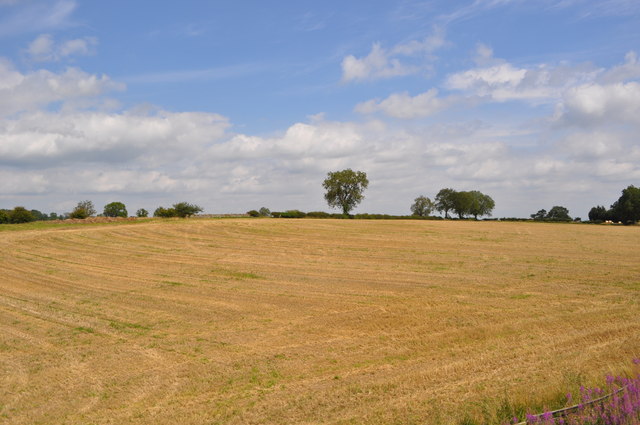
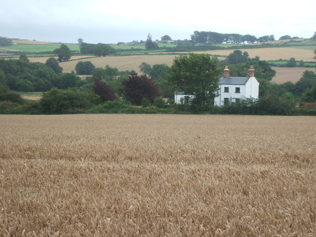
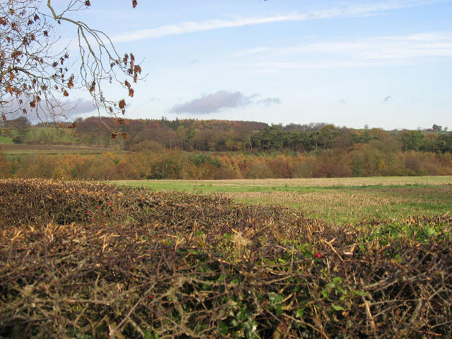
Boys Plantation, located in Yorkshire, is a picturesque wood and forest area that offers a serene and natural environment for visitors to explore. Spanning over a vast expanse of land, this plantation is known for its lush greenery, diverse flora and fauna, and its tranquil ambiance.
The plantation is characterized by dense woodlands, encompassing a variety of tree species such as oak, beech, and birch. These trees provide a canopy that offers shade and shelter to numerous wildlife species that call the plantation home. Visitors can expect to spot various birds, including woodpeckers and owls, as well as small mammals like squirrels and rabbits.
Walking trails meander through the plantation, offering visitors the opportunity to immerse themselves in nature and enjoy a leisurely stroll. The paths are well-maintained and provide easy access for visitors of all ages and abilities. The plantation also features picnic areas, allowing visitors to relax and enjoy a meal amidst the serene surroundings.
Boys Plantation is not only a haven for nature enthusiasts but also serves as an important conservation area. The plantation management actively works towards preserving the natural ecosystem and maintaining the biodiversity of the area. They organize regular educational programs and workshops to promote awareness about the importance of forests and the need for their conservation.
Overall, Boys Plantation in Yorkshire is a captivating destination for those seeking solace in nature. With its abundant wildlife, scenic trails, and commitment to conservation, it offers a unique and rewarding experience for visitors of all ages.
If you have any feedback on the listing, please let us know in the comments section below.
Boys Plantation Images
Images are sourced within 2km of 54.31018/-1.7676992 or Grid Reference SE1590. Thanks to Geograph Open Source API. All images are credited.


Boys Plantation is located at Grid Ref: SE1590 (Lat: 54.31018, Lng: -1.7676992)
Division: North Riding
Administrative County: North Yorkshire
District: Richmondshire
Police Authority: North Yorkshire
What 3 Words
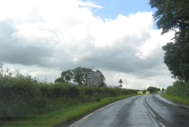
///shepherds.surprises.waitress. Near Leyburn, North Yorkshire
Nearby Locations
Related Wikis

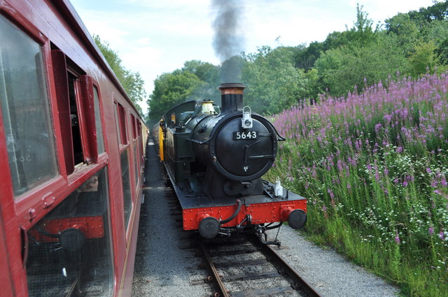
Spennithorne railway station
Spennithorne railway station was on the Wensleydale Railway, in North Yorkshire, England. The station was opened by the Bedale and Leyburn Railway on 19...
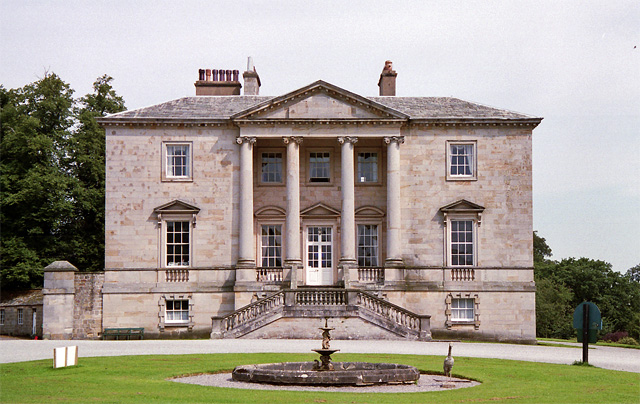
Constable Burton Hall
Constable Burton Hall is a Grade I-listed Georgian country house of dressed stone in an extensive and well wooded park in the village of Constable Burton...

Constable Burton railway station
Constable Burton railway station is a disused railway station on the Wensleydale Railway, in North Yorkshire, England. It was built to serve Constable...

Constable Burton
Constable Burton is a village and civil parish in North Yorkshire, England. It is 3 miles (4.8 km) east of Leyburn. == History == The village takes its...
Spennithorne
Spennithorne is a village and civil parish in lower Wensleydale in North Yorkshire, England. The village is situated 2 miles (3.2 km) south-east of the...
Garriston
Garriston is a hamlet and civil parish north-east of Leyburn in North Yorkshire, England. In 2015, North Yorkshire County Council estimated the population...

Unthank, North Yorkshire
Unthank is a former village near Constable Burton in North Yorkshire, England. The village survived until some time in the 19th century. The site is currently...
Hutton Hang
Hutton Hang is a hamlet and civil parish in the Richmondshire district of North Yorkshire, England. The population taken at the 2011 census was less than...
Nearby Amenities
Located within 500m of 54.31018,-1.7676992Have you been to Boys Plantation?
Leave your review of Boys Plantation below (or comments, questions and feedback).