Canaan Wood
Wood, Forest in Yorkshire Richmondshire
England
Canaan Wood

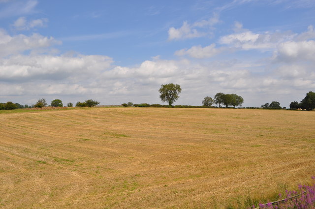
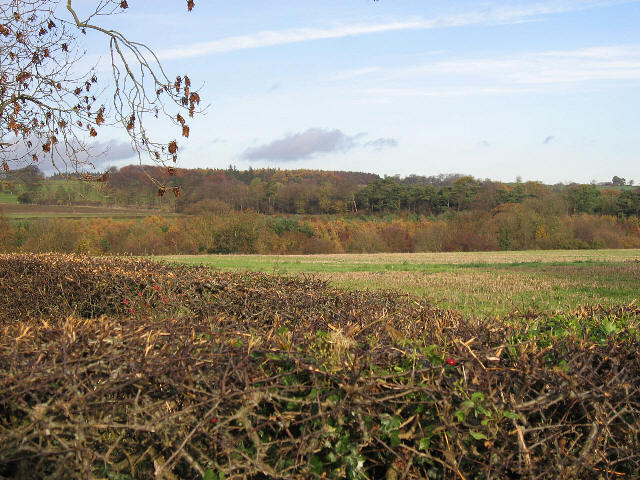
Canaan Wood is a picturesque forest located in the county of Yorkshire, England. Spanning over a vast area, it is a popular destination for nature enthusiasts and outdoor adventurers alike. The wood is situated in a rural setting, surrounded by rolling hills, lush meadows, and quaint villages.
The forest boasts a diverse range of flora and fauna, making it a haven for wildlife. Ancient oak, ash, and beech trees dominate the landscape, creating a dense canopy that filters sunlight, casting enchanting shadows on the forest floor. The woodland floor is adorned with a colorful carpet of wildflowers, adding to the beauty of the surroundings.
Canaan Wood offers a variety of recreational activities for visitors to enjoy. Nature trails wind through the forest, providing opportunities for hiking and exploring. The trails are well-maintained and clearly marked, ensuring a safe and enjoyable experience for all. Bird watching is a popular pastime in Canaan Wood, with a multitude of species inhabiting the area. Visitors may catch a glimpse of woodpeckers, owls, and various songbirds.
For those seeking solitude and tranquility, Canaan Wood is the perfect retreat. The peacefulness of the forest creates an ideal environment for relaxation and meditation. The wood is also a favored spot for picnicking, with several designated areas offering stunning views and a serene ambiance.
Canaan Wood, Yorkshire, is a true gem of natural beauty, offering a serene escape from the hustle and bustle of everyday life. Whether exploring the trails, observing wildlife, or simply immersing oneself in the peaceful atmosphere, visitors are sure to be captivated by the enchantment of this forest retreat.
If you have any feedback on the listing, please let us know in the comments section below.
Canaan Wood Images
Images are sourced within 2km of 54.313733/-1.7601013 or Grid Reference SE1590. Thanks to Geograph Open Source API. All images are credited.


Canaan Wood is located at Grid Ref: SE1590 (Lat: 54.313733, Lng: -1.7601013)
Division: North Riding
Administrative County: North Yorkshire
District: Richmondshire
Police Authority: North Yorkshire
What 3 Words
///thunder.premature.tightest. Near Leyburn, North Yorkshire
Nearby Locations
Related Wikis
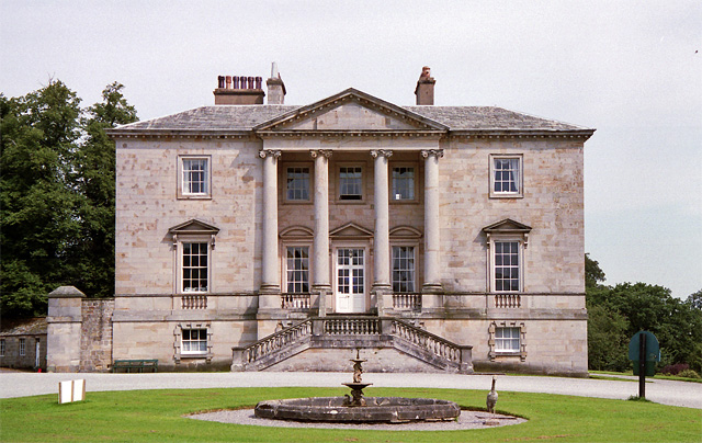
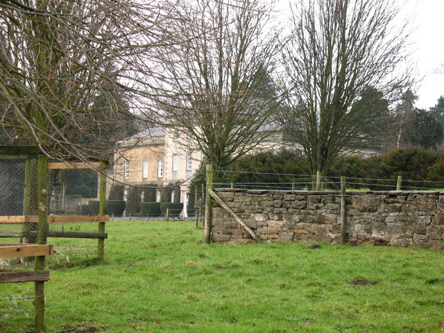
Constable Burton Hall
Constable Burton Hall is a Grade I-listed Georgian country house of dressed stone in an extensive and well wooded park in the village of Constable Burton...

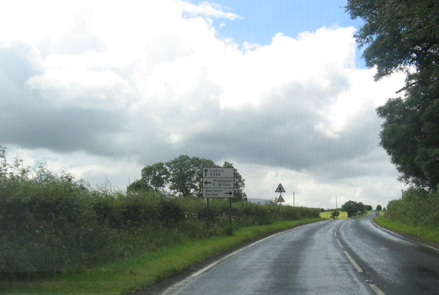
Constable Burton
Constable Burton is a village and civil parish in North Yorkshire, England. It is 3 miles (4.8 km) east of Leyburn. == History == The village takes its...

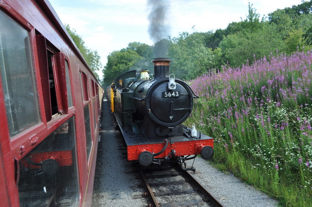
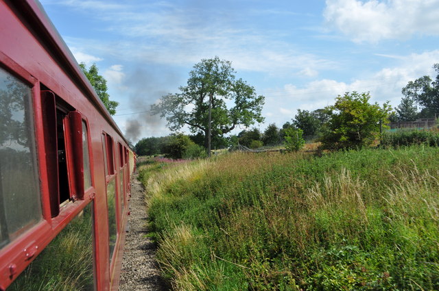
Constable Burton railway station
Constable Burton railway station is a disused railway station on the Wensleydale Railway, in North Yorkshire, England. It was built to serve Constable...

Spennithorne railway station
Spennithorne railway station was on the Wensleydale Railway, in North Yorkshire, England. The station was opened by the Bedale and Leyburn Railway on 19...
Garriston
Garriston is a hamlet and civil parish north-east of Leyburn in North Yorkshire, England. In 2015, North Yorkshire County Council estimated the population...

Unthank, North Yorkshire
Unthank is a former village near Constable Burton in North Yorkshire, England. The village survived until some time in the 19th century. The site is currently...
Hauxwell Hall
Hauxwell Hall or Hawkswell Hall is a grade II* listed 17th-century country house in West Hauxwell, North Yorkshire, England, some 5 miles (8 km) south...
Hutton Hang
Hutton Hang is a hamlet and civil parish in the Richmondshire district of North Yorkshire, England. The population taken at the 2011 census was less than...
Nearby Amenities
Located within 500m of 54.313733,-1.7601013Have you been to Canaan Wood?
Leave your review of Canaan Wood below (or comments, questions and feedback).