Brankley Hill Plantation

Wood, Forest in Staffordshire East Staffordshire

England

Brankley Hill Plantation

Electricity pylons Electricity pylons crossing farmland near Dunstall, north of Barton-under-Needwood
Electricity pylons Credit: Philip Halling

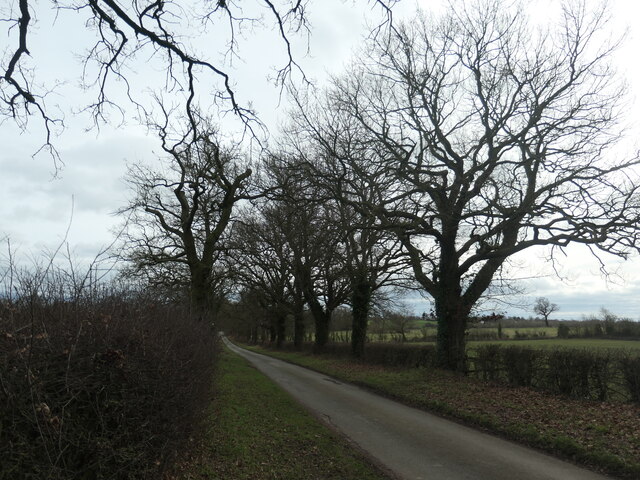
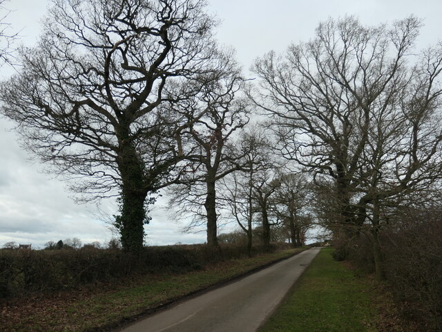
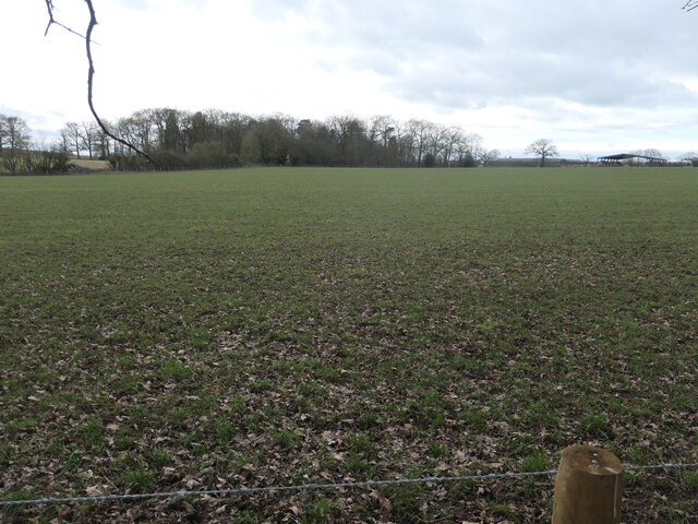
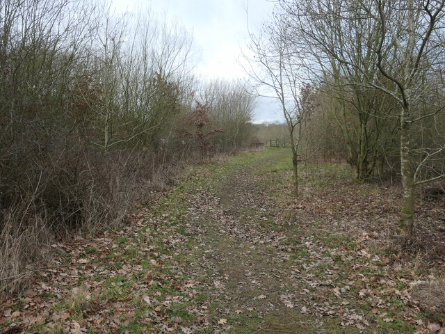
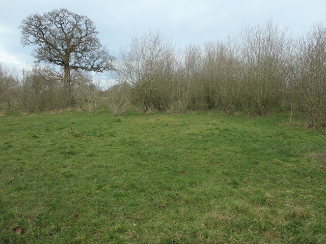
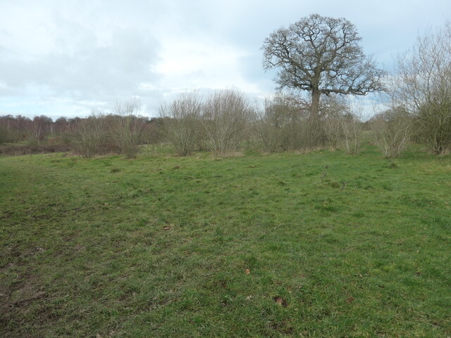
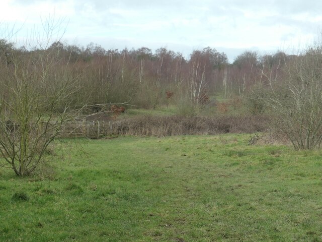
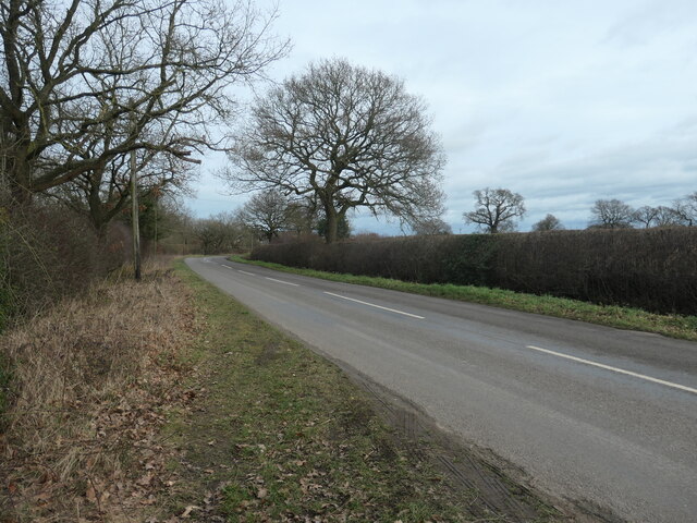
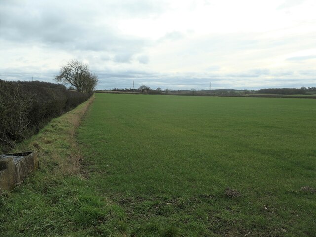
Brankley Hill Plantation is a picturesque woodland located in Staffordshire, England. Situated on the slopes of Brankley Hill, the plantation covers an area of approximately 200 acres, making it a significant natural asset in the region. The woodland is primarily composed of a mix of native deciduous and coniferous trees, creating a diverse and vibrant ecosystem.

The plantation offers a tranquil and idyllic setting, with its rolling hills and dense foliage providing a haven for wildlife and nature enthusiasts alike. Visitors can expect to encounter a wide variety of flora and fauna, including oak, birch, beech, and pine trees, as well as an array of wildflowers and shrubs. The rich biodiversity of Brankley Hill Plantation makes it a popular spot for birdwatching, with species such as woodpeckers, owls, and songbirds often spotted in the area.

In addition to its natural beauty, Brankley Hill Plantation offers several recreational activities for visitors to enjoy. There are well-maintained walking trails that wind through the woodland, providing an opportunity for hikers and nature lovers to explore the area at their own pace. The plantation also features picnic areas, making it an ideal spot for a family day out in the countryside.

Brankley Hill Plantation is not only a popular destination for leisure activities but also plays a vital role in conservation efforts. The woodland is carefully managed to ensure the preservation of its natural habitat, with sustainable forestry practices being implemented to maintain the health and longevity of the trees.

Overall, Brankley Hill Plantation is a captivating woodland retreat, offering a serene escape from the hustle and bustle of everyday life. Its natural beauty, diverse wildlife, and recreational opportunities make it a cherished destination for locals and tourists alike.

If you have any feedback on the listing, please let us know in the comments section below.

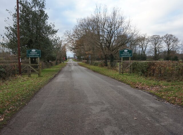
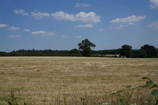
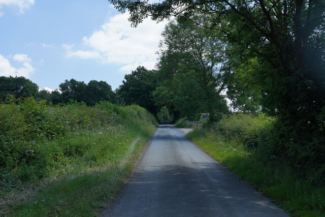
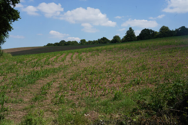
Brankley Hill Plantation Images

Images are sourced within 2km of 52.787329/-1.7683797 or Grid Reference SK1521. Thanks to Geograph Open Source API. All images are credited.
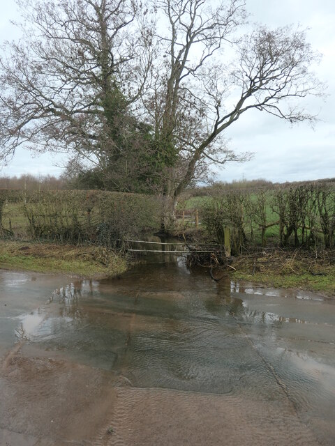
Electricity pylons Electricity pylons crossing farmland near Dunstall, north of Barton-under-Needwood
Electricity pylons
Electricity pylons crossing farmland near Dunstall, north of Barton-under-Needwood
Scotch Hill Lane Scotch Hill Lane near Dunstall.
Scotch Hill Lane
Scotch Hill Lane near Dunstall.
Dunstall Hill towards Dunstall Cross
The silage has been cut A very bare field with just the cut ends of dried grasses showing.
The silage has been cut
A very bare field with just the cut ends of dried grasses showing.
Scotch Hill Going up the hill from the valley bottom which has a small stream.
Scotch Hill
Going up the hill from the valley bottom which has a small stream.
New growth in the field This looks a little like sweet corn, but if it is, it has a very long way to go before it will be harvested.
New growth in the field
This looks a little like sweet corn, but if it is, it has a very long way to go before it will be harvested.
Sich Lane, heading south towards Lucepool This lane is shown as tree-lined on the large-scale OS map surveyed in the 1880s. It is single track, like many of the back roads in this part of Staffordshire. The boundary between two civil parishes runs down the road - Yoxall and Barton under Needwood.
Sich Lane, heading south towards Lucepool
This lane is shown as tree-lined on the large-scale OS map surveyed in the 1880s. It is single track, like many of the back roads in this part of Staffordshire. The boundary between two civil parishes runs down the road - Yoxall and Barton under Needwood.
Sich Lane, heading north towards Whitewood This lane is shown as tree-lined on the large-scale OS map surveyed in the 1880s. It is single track, like many of the back roads in this part of Staffordshire. The boundary between two civil parishes runs down the road - Yoxall and Barton under Needwood.
Sich Lane, heading north towards Whitewood
This lane is shown as tree-lined on the large-scale OS map surveyed in the 1880s. It is single track, like many of the back roads in this part of Staffordshire. The boundary between two civil parishes runs down the road - Yoxall and Barton under Needwood.
Field east of Longcroft Farm About 90 metres above sea level.
Field east of Longcroft Farm
About 90 metres above sea level.
Stony Ford, at Stonyford Where Lin Brook becomes Stonyford Brook. Other maps [but not the OS] call the hamlet Stoneyford.
Stony Ford, at Stonyford
Where Lin Brook becomes Stonyford Brook. Other maps [but not the OS] call the hamlet Stoneyford.
Stony Ford is no longer stony Where Lin Brook becomes Stonyford Brook.
Stony Ford is no longer stony
Where Lin Brook becomes Stonyford Brook.
A path into Brankley Pastures Heading north from the Woodlane - Dunstall Cross road. Brankley Pastures is a new nature reserve created by the Staffordshire Wildlife Trust. This area was part of the Needwood Forest until the trees were cleared for agriculture in the 1800s. The Trust are trying to recreate the former 'wood pasture' landscape here.
A path into Brankley Pastures
Heading north from the Woodlane - Dunstall Cross road. Brankley Pastures is a new nature reserve created by the Staffordshire Wildlife Trust. This area was part of the Needwood Forest until the trees were cleared for agriculture in the 1800s. The Trust are trying to recreate the former 'wood pasture' landscape here.
New wood pasture, Brankley Pastures Brankley Pastures is a new nature reserve created by the Staffordshire Wildlife Trust. This area was part of the Needwood Forest until the trees were cleared for agriculture in the 1800s. The Trust are trying to recreate the former 'wood pasture' landscape here.
New wood pasture, Brankley Pastures
Brankley Pastures is a new nature reserve created by the Staffordshire Wildlife Trust. This area was part of the Needwood Forest until the trees were cleared for agriculture in the 1800s. The Trust are trying to recreate the former 'wood pasture' landscape here.
Tree and faint path, Brankley Pastures Brankley Pastures is a new nature reserve created by the Staffordshire Wildlife Trust. This area was part of the Needwood Forest until the trees were cleared for agriculture in the 1800s. The Trust are trying to recreate the former 'wood pasture' landscape here.
Tree and faint path, Brankley Pastures
Brankley Pastures is a new nature reserve created by the Staffordshire Wildlife Trust. This area was part of the Needwood Forest until the trees were cleared for agriculture in the 1800s. The Trust are trying to recreate the former 'wood pasture' landscape here.
Staffordshire Wildlife Trust's Brankley Pastures Brankley Pastures is a new nature reserve created by the Staffordshire Wildlife Trust. This area was part of the Needwood Forest until the trees were cleared for agriculture in the 1800s. The Trust are trying to recreate the former 'wood pasture' landscape here.
Staffordshire Wildlife Trust's Brankley Pastures
Brankley Pastures is a new nature reserve created by the Staffordshire Wildlife Trust. This area was part of the Needwood Forest until the trees were cleared for agriculture in the 1800s. The Trust are trying to recreate the former 'wood pasture' landscape here.
Tree on the road to Dunstall Cross This part of Staffordshire is the old Needwood Forest and still has many deciduous trees.
Tree on the road to Dunstall Cross
This part of Staffordshire is the old Needwood Forest and still has many deciduous trees.
Farmland west of Dunstall Cross About 90 metres above sea level and on the south side of the road to Woodlane.
Farmland west of Dunstall Cross
About 90 metres above sea level and on the south side of the road to Woodlane.
Farm track heading south towards Needwood Rise Here just west of Yew Tree Farm, Dunstall Cross.
Farm track heading south towards Needwood Rise
Here just west of Yew Tree Farm, Dunstall Cross.
Show me another place!

Brankley Hill Plantation is located at Grid Ref: SK1521 (Lat: 52.787329, Lng: -1.7683797)

Administrative County: Staffordshire

District: East Staffordshire

Police Authority: Staffordshire

What 3 Words

///redeemed.sidelined.estimate. Near Yoxall, Staffordshire

Related Wikis

Brankley Pastures

Brankley Pastures is a nature reserve of the Staffordshire Wildlife Trust. It is about 2.5 miles (4.0 km) miles north-west of Barton-under-Needwood, in...

Hoar Cross

Hoar Cross is a small village and civil parish in the Borough of East Staffordshire, situated approximately 7 miles (11 km) west of Burton upon Trent....

Rangemore

Rangemore is a village in the borough of East Staffordshire, situated approximately 4 miles (6 km) west of the town of Burton upon Trent, on a ridge of...

Byrkley Lodge

Byrkley Lodge was a country house and later racing horse stud farm, located close to Burton on Trent, Staffordshire. Demolished in 1953, its former grounds...

St George's Park National Football Centre

St George's Park (SGP) is the English Football Association's national football centre (NFC) built on a 330-acre (130 ha) site at Burton upon Trent, Staffordshire...

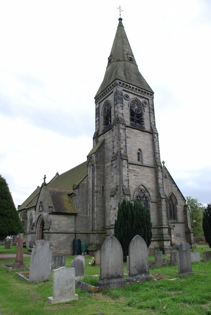
Church of St Peter, Yoxall

The Church of St Peter is a Grade II* listed building in Yoxall, East Staffordshire, Staffordshire, England, built in the early 13th century. == References ==

Yoxall

Yoxall is a village and civil parish in Staffordshire, England. It is on the banks of the River Swarbourn on the A515 road north of Lichfield and south...

Tatenhill Airfield

Tatenhill Airfield (ICAO: EGBM) is a licensed airfield operated by Tatenhill Aviation Ltd. Its CAA Ordinary Licence (Number P813) allows flights for the...

Nearby Amenities

Located within 500m of 52.787329,-1.7683797
Power: tower
Source: Bing
Lat/Long: 52.7853356/-1.7715665
Power: tower
Source: Bing
Lat/Long: 52.7837783/-1.766835
The data included in this document is from www.openstreetmap.org. The data is made available under ODbL.

Have you been to Brankley Hill Plantation?

Leave your review of Brankley Hill Plantation below (or comments, questions and feedback).