Alston Hill
Hill, Mountain in Yorkshire Richmondshire
England
Alston Hill
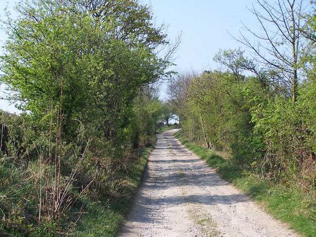
Alston Hill, located in Yorkshire, England, is a prominent hill that offers stunning views and an array of outdoor activities for visitors and locals alike. Rising to an elevation of approximately 500 meters, it is a popular destination for hikers, nature enthusiasts, and photographers.
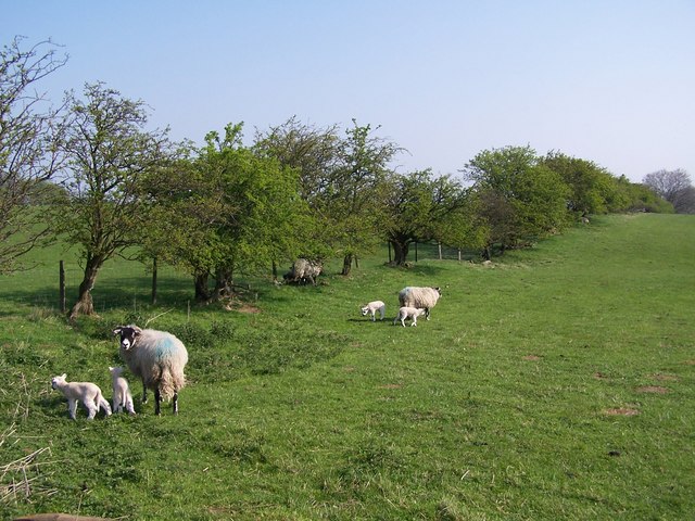
The hill is characterized by its rugged and rocky terrain, covered in a mix of grass, heather, and scattered patches of woodland. Its slopes are home to a diverse range of flora and fauna, including wildflowers, birds, and small mammals, making it a haven for wildlife lovers.
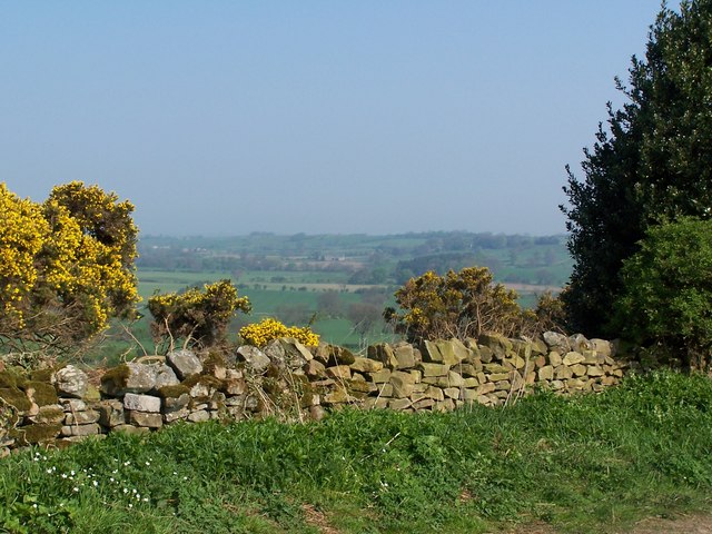
The summit of Alston Hill provides breathtaking panoramic views of the surrounding countryside, with vistas stretching across the Yorkshire Dales and beyond. On clear days, visitors can even catch a glimpse of the distant Pennine Mountains.
Several well-marked trails crisscross the hill, catering to all levels of hikers. These trails vary in length and difficulty, allowing visitors to choose the route that best suits their preferences and abilities. Along the way, walkers may encounter ancient stone walls, remnants of the hill's agricultural past, adding to its historical charm.
Alston Hill is also a popular spot for paragliding and hang gliding, as its elevated position and favorable wind conditions make it an ideal location for these activities. Adventurous individuals can take to the skies and enjoy a unique perspective of the surrounding landscape.
Overall, Alston Hill stands as a picturesque and captivating destination in Yorkshire, offering visitors a chance to immerse themselves in nature, explore its scenic trails, and soak up the stunning views.
If you have any feedback on the listing, please let us know in the comments section below.
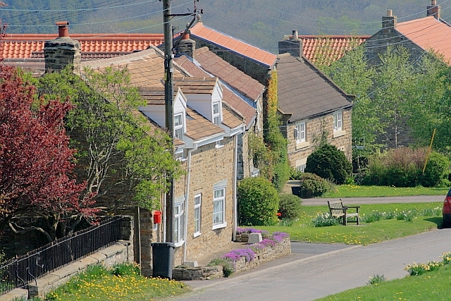
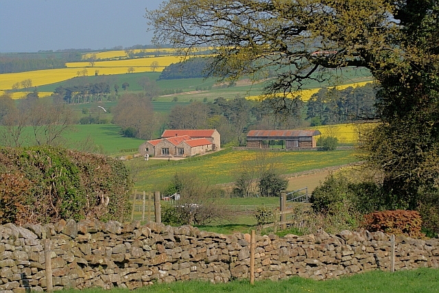
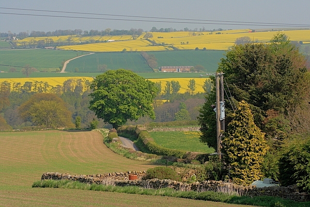
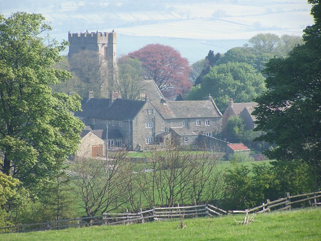
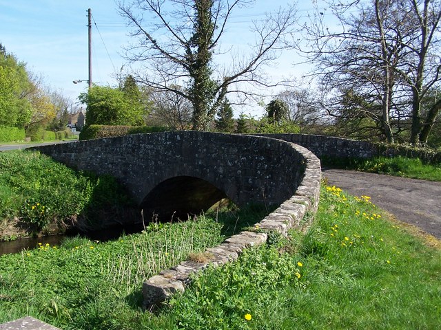
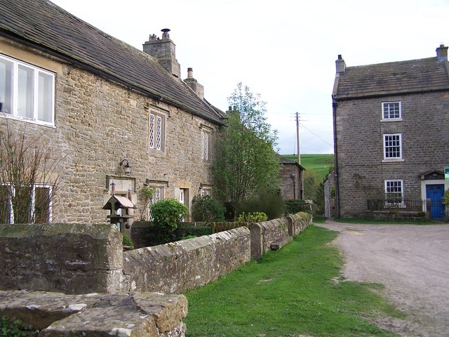
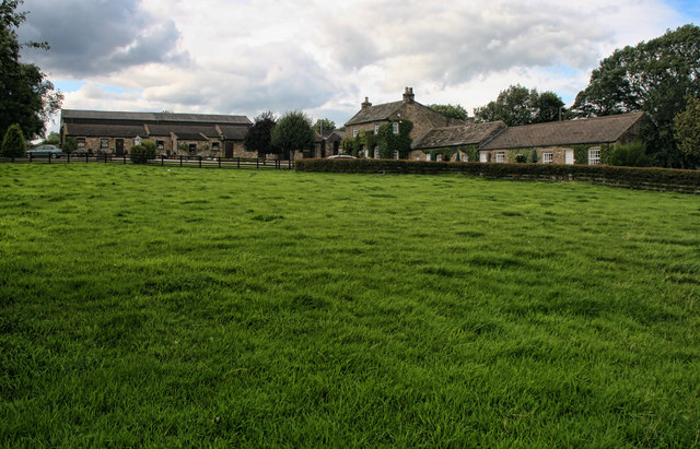
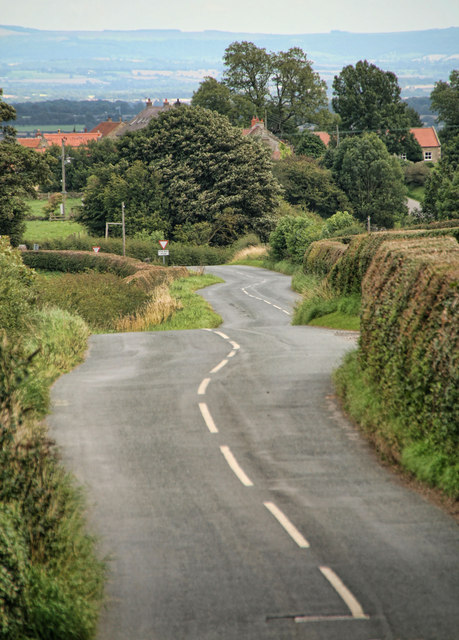
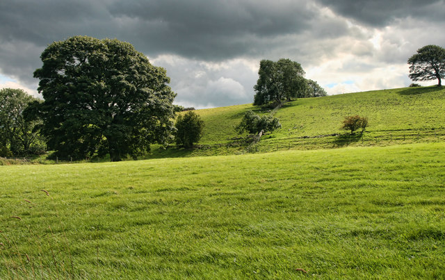
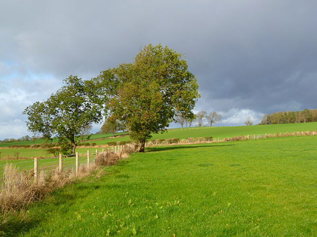
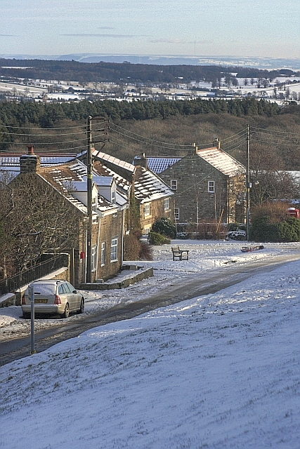
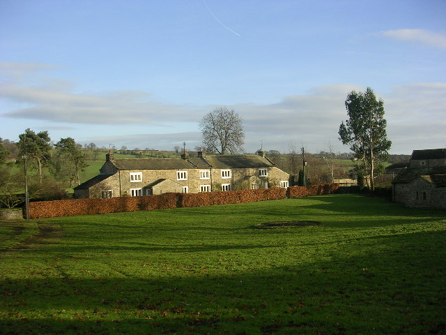
Alston Hill Images
Images are sourced within 2km of 54.45946/-1.7900557 or Grid Reference NZ1307. Thanks to Geograph Open Source API. All images are credited.
Alston Hill is located at Grid Ref: NZ1307 (Lat: 54.45946, Lng: -1.7900557)
Division: North Riding
Administrative County: North Yorkshire
District: Richmondshire
Police Authority: North Yorkshire
What 3 Words
///utensil.demoted.lyrics. Near Hutton Magna, Co. Durham
Nearby Locations
Related Wikis

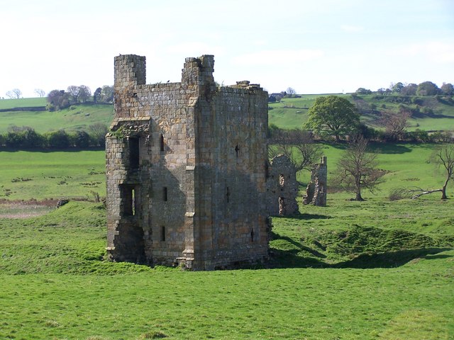
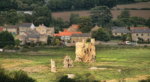
Ravensworth Castle (North Yorkshire)
Ravensworth Castle is a ruined 14th-century castle in the village of Ravensworth, North Yorkshire, England. It has been designated a Grade I listed building...

Kirby Hill, Richmondshire
Kirby Hill, historically also known as Kirby-on-the-Hill, is a village and civil parish in the Richmondshire district of North Yorkshire, England. The...

Ravensworth
Ravensworth is a village and civil parish in the Holmedale valley, within the Richmondshire district of North Yorkshire, England. It is approximately...

Gayles, North Yorkshire
Gayles is a village and civil parish in the Richmondshire district of North Yorkshire, England. Gayles is established in the district ward of Gilling West...
Whashton
Whashton is a village and civil parish in the Richmondshire district of North Yorkshire, England. == History == The name is of an uncertain origin and...

Dalton, west North Yorkshire
Dalton is a village and civil parish in North Yorkshire in England. Dalton is situated about six miles north-west of Richmond and about five miles south...

West Layton
West Layton is a village and civil parish in the Richmondshire district of North Yorkshire, England, close to the border with County Durham and a few miles...
Hartforth
Hartforth is a small village in the Richmondshire district of North Yorkshire, England. The village is situated approximately 9 miles (14 km) south-west...
Nearby Amenities
Located within 500m of 54.45946,-1.7900557Have you been to Alston Hill?
Leave your review of Alston Hill below (or comments, questions and feedback).