Wolfscote Hill

Hill, Mountain in Derbyshire Derbyshire Dales

England

Wolfscote Hill

Negotiating a narrow squeeze stile Some squeeze stiles are much narrower at the bottom than at the top, which is fine for humans but can be problematic for dogs.
Negotiating a narrow squeeze stile Credit: Ian Calderwood

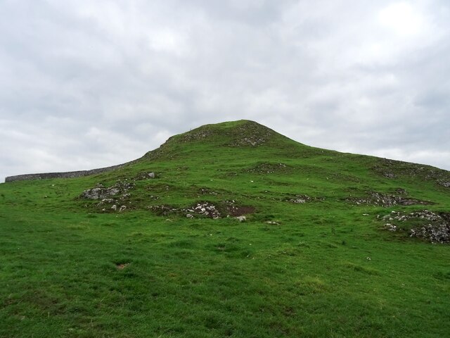
Wolfscote Hill is a prominent hill located in the picturesque county of Derbyshire, England. Standing at an elevation of approximately 1,328 feet (405 meters), it is a notable feature of the Peak District National Park. The hill is situated near the village of Hartington, in the southern part of the park.

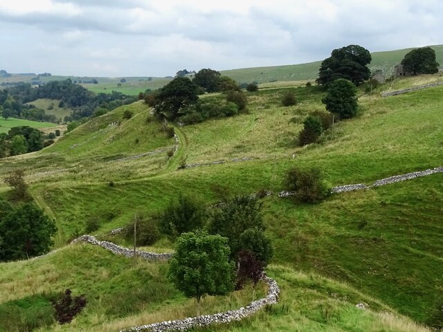
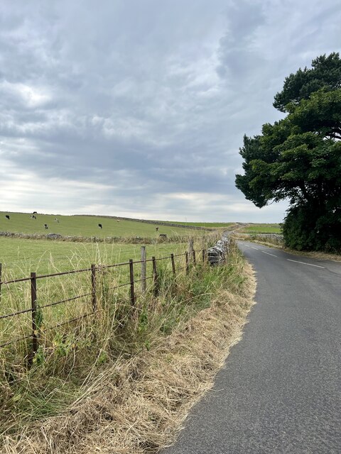
Wolfscote Hill offers stunning panoramic views of the surrounding countryside, including the River Dove and the valleys of Wolfscote Dale and Beresford Dale. Its strategic location provides visitors with a unique vantage point to appreciate the natural beauty of the area.

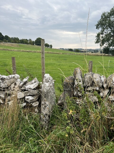
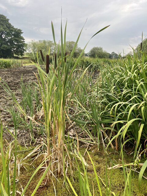
The hill itself is composed of limestone, a characteristic geological feature of the Peak District. This limestone terrain contributes to the diversity of flora and fauna found on Wolfscote Hill. The hill is home to various plant species, including heather, orchids, and wildflowers, which bloom in vibrant colors during the warmer months.

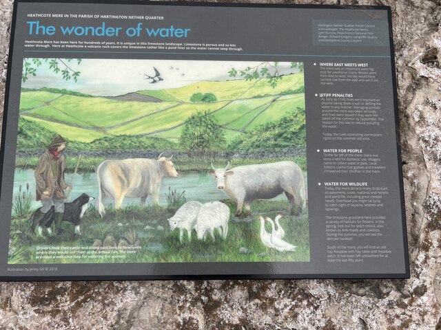
In addition to its natural beauty, Wolfscote Hill also holds historical significance. The area is dotted with remnants of ancient settlements, such as prehistoric burial mounds and stone circles, indicating human activity dating back thousands of years.

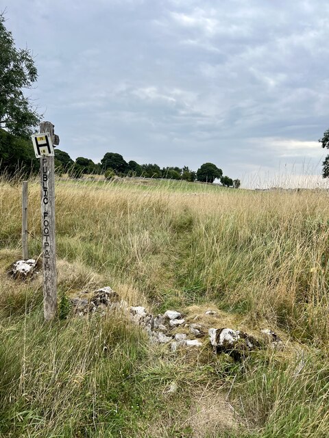
Visitors to Wolfscote Hill can explore the area through a network of footpaths and trails that crisscross the hillside. These paths provide opportunities for hiking, nature observation, and birdwatching, with bird species such as peregrine falcons and curlews often spotted in the vicinity.

Overall, Wolfscote Hill is a captivating destination that combines scenic landscapes, geological wonders, and a rich history, inviting visitors to immerse themselves in the natural and cultural heritage of Derbyshire's Peak District.

If you have any feedback on the listing, please let us know in the comments section below.

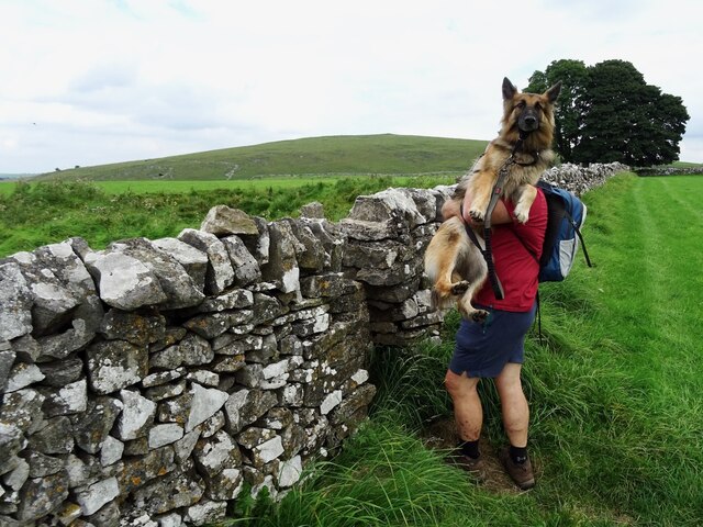
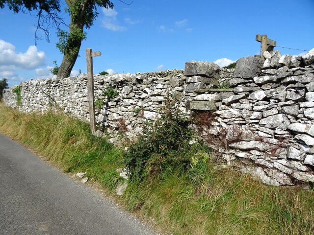
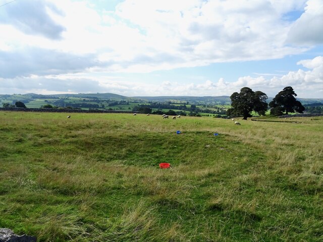
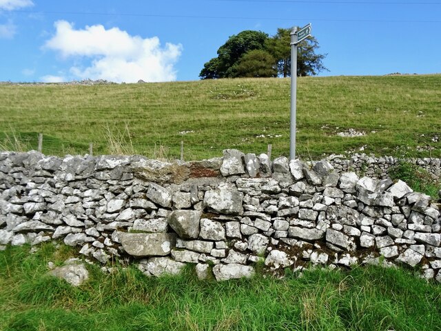
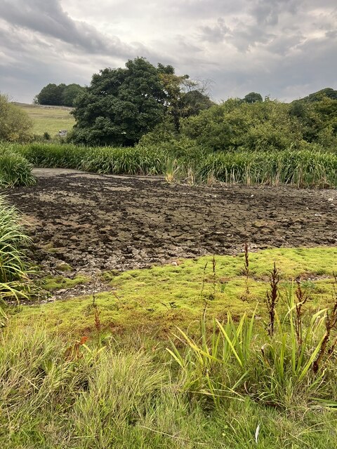
Wolfscote Hill Images

Images are sourced within 2km of 53.121907/-1.7966665 or Grid Reference SK1358. Thanks to Geograph Open Source API. All images are credited.

Negotiating a narrow squeeze stile Some squeeze stiles are much narrower at the bottom than at the top, which is fine for humans but can be problematic for dogs.
Negotiating a narrow squeeze stile
Some squeeze stiles are much narrower at the bottom than at the top, which is fine for humans but can be problematic for dogs.
Farm track climbing out of the dale A narrow track winds its way uphill to some farm buildings
Farm track climbing out of the dale
A narrow track winds its way uphill to some farm buildings
Baling hay by the Dove
Bullock Low One of the Peak District's more modest peaks on the edge of Hartington.
Bullock Low
One of the Peak District's more modest peaks on the edge of Hartington.
Step stile off Reynard's Lane The short path connecting Reynard's Lane to Leisure Lane starts with a tall step stile.
Step stile off Reynard's Lane
The short path connecting Reynard's Lane to Leisure Lane starts with a tall step stile.
Dry dew pond On current OS maps, this pond is marked as being in-water, but it appears to be dry, now.
Dry dew pond
On current OS maps, this pond is marked as being in-water, but it appears to be dry, now.
Step stile on a shortcut A short length of footpath cuts the corner at the junction of a couple of old lanes.
Step stile on a shortcut
A short length of footpath cuts the corner at the junction of a couple of old lanes.
Heathcote Mere With the exceptional hot weather recently, the Mere has dried out, the trails in the mud have been caused by cattle which had broken out of a nearby field.
Heathcote Mere
With the exceptional hot weather recently, the Mere has dried out, the trails in the mud have been caused by cattle which had broken out of a nearby field.
Information Board An interesting notice board depicting the history associated with Heathcote Mere.
Information Board
An interesting notice board depicting the history associated with Heathcote Mere.
Heathcote Mere 2 Looking north across the mere.
Heathcote Mere 2
Looking north across the mere.
Road Junction The lanes to Heathcote, Biggin and Hartington.
Road Junction
The lanes to Heathcote, Biggin and Hartington.
High Cross Lane Looking west towards Hartington.
High Cross Lane
Looking west towards Hartington.
The start of the footpath The path up to Chapel Farm.
The start of the footpath
The path up to Chapel Farm.
Field boundary stile The first stile on the path to Chapel Farm
Field boundary stile
The first stile on the path to Chapel Farm
Hillside Path The path across the hillside and fields up to Chapel Farm, hidden behind the trees.
Hillside Path
The path across the hillside and fields up to Chapel Farm, hidden behind the trees.
Bull Rush Plant A  tall bull rush plant spreading from the main body of plans.
Bull Rush Plant
A tall bull rush plant spreading from the main body of plans.
Field wall and trough A limestone wall dividing the fields together with a cattle drinking trough.
Field wall and trough
A limestone wall dividing the fields together with a cattle drinking trough.
Footpath over the wall A well built set of steps over the wall, the footpath leading up to Chapel Farm.
Footpath over the wall
A well built set of steps over the wall, the footpath leading up to Chapel Farm.
Show me another place!

Wolfscote Hill is located at Grid Ref: SK1358 (Lat: 53.121907, Lng: -1.7966665)

Administrative County: Derbyshire

District: Derbyshire Dales

Police Authority: Derbyshire

What 3 Words

///riverboat.evoked.obeyed. Near Newhaven, Derbyshire

Nearby Locations

Wolfscote Hill

Related Wikis

Wolfscote Hill

Wolfscote Hill is a limestone hill near the village of Hartington in the Derbyshire Peak District. The summit is 388 metres (1,273 ft) above sea level...

Biggin (Dovedale and Parwich Ward)

Biggin is a village in the Derbyshire Dales district of Derbyshire, England. It is part of the Hartington Nether Quarter parish, and is in the Peak District...
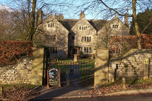
Hartington Hall

Hartington Hall is a much altered and extended 17th-century manor house at Hartington, Derbyshire, now a youth hostel. The Hall was built by the Bateman...

Hartington, Derbyshire

Hartington is a village in the centre of the White Peak area of the Derbyshire Peak District, England, lying on the River Dove which is the Staffordshire...

Nearby Amenities

Located within 500m of 53.121907,-1.7966665
Wolfscote Hill
Ele: 388
Natural: peak
Source: local knowledge
Lat/Long: 53.1219265/-1.7966528
The data included in this document is from www.openstreetmap.org. The data is made available under ODbL.

Have you been to Wolfscote Hill?

Leave your review of Wolfscote Hill below (or comments, questions and feedback).