Netton Hill
Hill, Mountain in Wiltshire
England
Netton Hill

Netton Hill is a prominent natural landmark located in the county of Wiltshire, England. It is categorized as a hill rather than a mountain, standing at an elevation of approximately 152 meters (499 feet) above sea level. It is situated near the village of Netton, which lies about 9 kilometers (5.6 miles) northeast of the town of Salisbury.
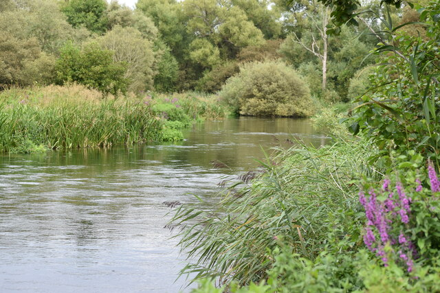
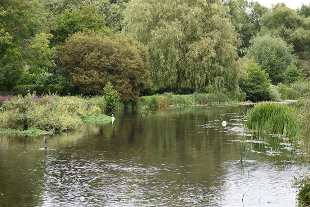
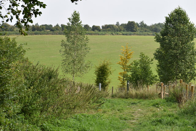
The hill offers breathtaking panoramic views of the surrounding countryside, making it a popular destination for hikers, nature enthusiasts, and photographers. Its strategic location provides visitors with an excellent vantage point to appreciate the beautiful rolling landscapes of Wiltshire, including fields, woodlands, and picturesque villages.
Netton Hill boasts a diverse range of flora and fauna, with its slopes covered in lush grasslands and scattered trees. It supports a variety of wildlife, including birds, small mammals, and insects, making it an ideal spot for birdwatching and nature spotting.
In addition to its natural beauty, Netton Hill is also of historical significance. It is believed to have been used as a defensive site during ancient times, with evidence of Iron Age and Roman earthworks found in the vicinity. The hill's strategic position would have provided an advantageous viewpoint for monitoring the surrounding areas.
Access to Netton Hill is relatively easy, with public footpaths and bridleways leading to its summit. Visitors can enjoy leisurely walks or more challenging hikes, depending on their preferences. The hill's proximity to nearby attractions, such as Stonehenge and Old Sarum, further enhances its appeal as a must-visit destination in Wiltshire.
If you have any feedback on the listing, please let us know in the comments section below.
Netton Hill Images
Images are sourced within 2km of 51.128418/-1.8053164 or Grid Reference SU1336. Thanks to Geograph Open Source API. All images are credited.


Netton Hill is located at Grid Ref: SU1336 (Lat: 51.128418, Lng: -1.8053164)
Unitary Authority: Wiltshire
Police Authority: Wiltshire
What 3 Words
///flushed.chromatic.trash. Near Durnford, Wiltshire
Nearby Locations
Related Wikis
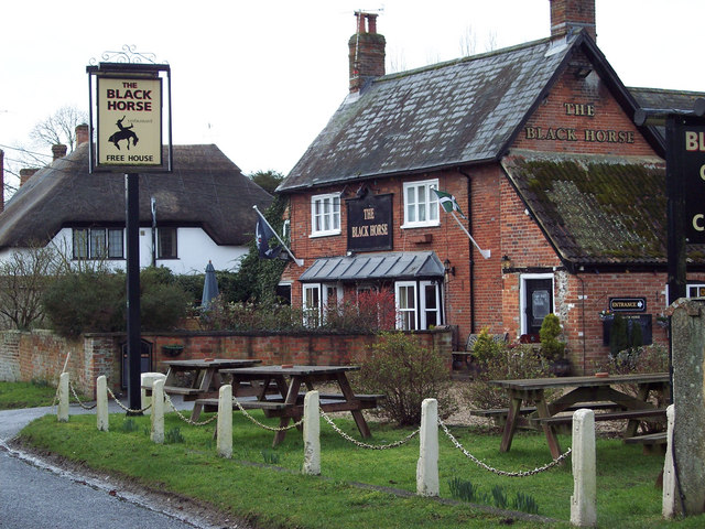
Durnford, Wiltshire
Durnford is a civil parish in Wiltshire, England, between Salisbury and Amesbury. It lies in the Woodford Valley and is bounded to the west by the Salisbury...

Woodford, Wiltshire
Woodford is a civil parish in southern-central Wiltshire, England, on the west bank of the Salisbury Avon, about 4 miles (6 km) north of Salisbury. Its...

Lower Woodford Water Meadows
Lower Woodford Water Meadows (grid reference SU124347) is a 23.9 hectare biological Site of Special Scientific Interest in Wiltshire, notified in 1971...

Lake House
Lake House is an Elizabethan country house dating from 1578, in Wilsford cum Lake in Wiltshire, England, about seven miles north of Salisbury. It is a...
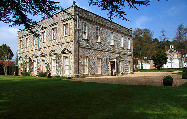
Little Durnford Manor
Little Durnford Manor is a Grade I-listed country house in Durnford, Wiltshire, England, about 3 miles (4.8 km) northeast of the city of Salisbury. The...

Salisbury Plain
Salisbury Plain is a chalk plateau in southern England covering 300 square miles (780 km2). It is part of a system of chalk downlands throughout eastern...

Salisbury City F.C.
Salisbury City Football Club was an English football club based in Salisbury, Wiltshire. They were formed in 1947 and played at The Raymond McEnhill Stadium...

Raymond McEnhill Stadium
The Raymond McEnhill Stadium is a purpose-built 5,000 capacity football stadium in Salisbury, Wiltshire, England. It is the home of Salisbury Football...
Nearby Amenities
Located within 500m of 51.128418,-1.8053164Have you been to Netton Hill?
Leave your review of Netton Hill below (or comments, questions and feedback).