Kilcreggan

Settlement in Dunbartonshire

Scotland

Kilcreggan

The beach at Kilcreggan Bay The view looks towards the village of Kilcreggan and the ferry pier.
The beach at Kilcreggan Bay Credit: Clive Nicholson

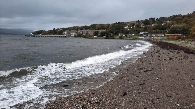
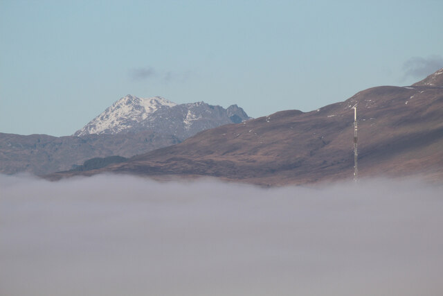
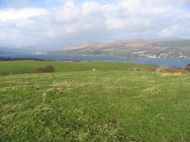
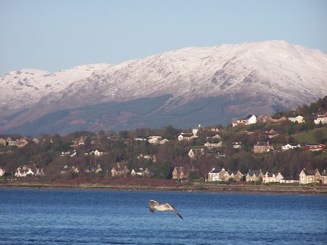
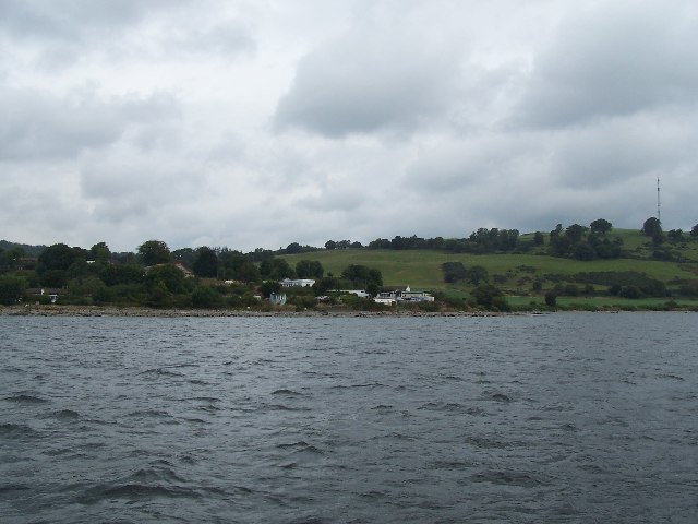
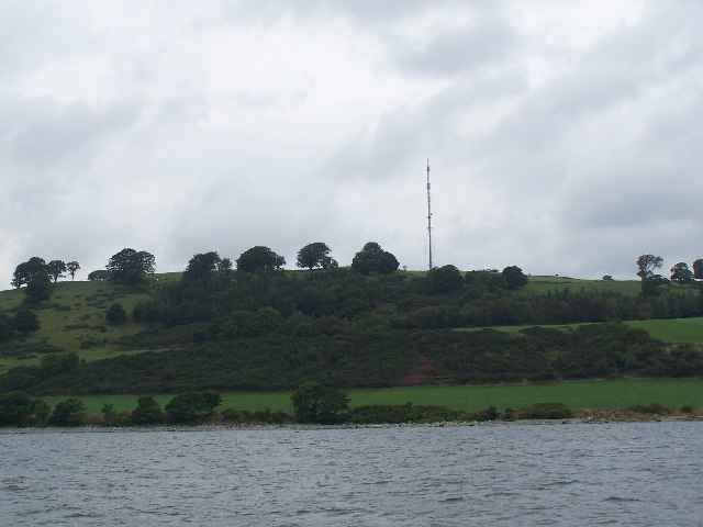
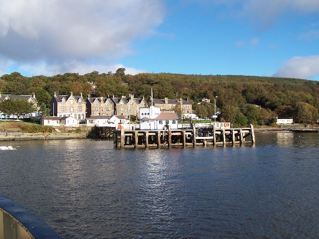
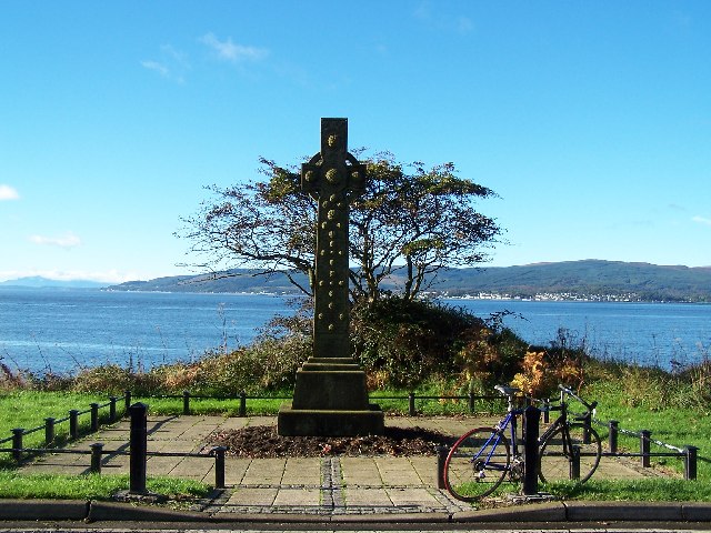
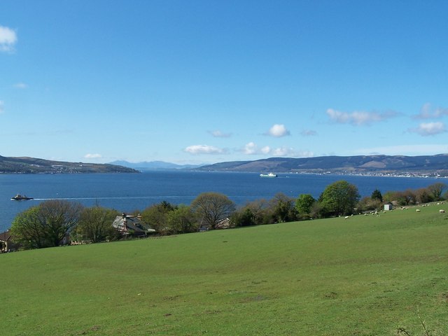
Kilcreggan is a small village located in Dunbartonshire, Scotland. Situated on the shores of the Firth of Clyde, Kilcreggan offers stunning views of the water and surrounding countryside. The village is known for its picturesque setting and peaceful atmosphere, making it a popular destination for tourists and those looking to escape the hustle and bustle of city life.

Kilcreggan has a rich history, with evidence of human settlement dating back to the Bronze Age. The village was a popular holiday destination in the Victorian era, with many grand houses and hotels built along the waterfront. Today, visitors can still see remnants of this past in the form of historic buildings and architecture.

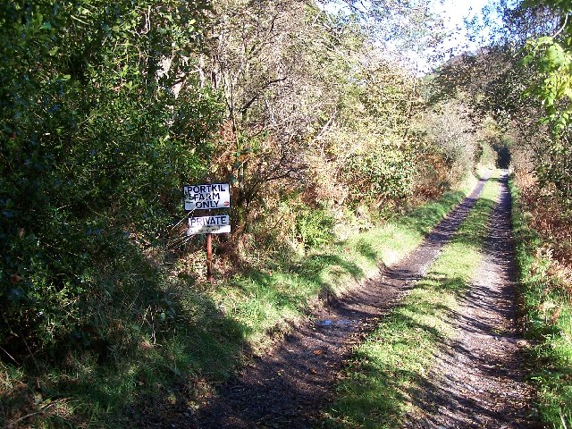
In terms of amenities, Kilcreggan offers a few shops, cafes, and pubs for visitors to enjoy. There are also opportunities for outdoor activities such as walking, cycling, and fishing in the surrounding area. The village is well-connected to nearby towns and cities, with regular ferry services running to Gourock on the opposite shore.

Overall, Kilcreggan is a charming village with a rich history and stunning natural beauty, making it a delightful place to visit or live.

If you have any feedback on the listing, please let us know in the comments section below.
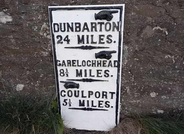
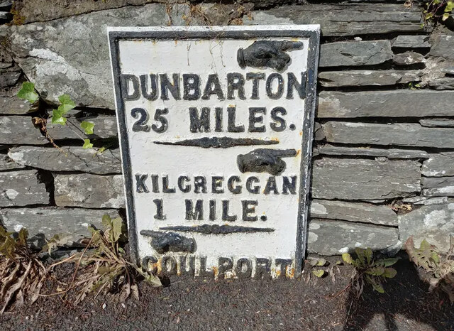
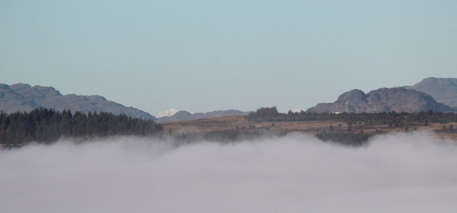
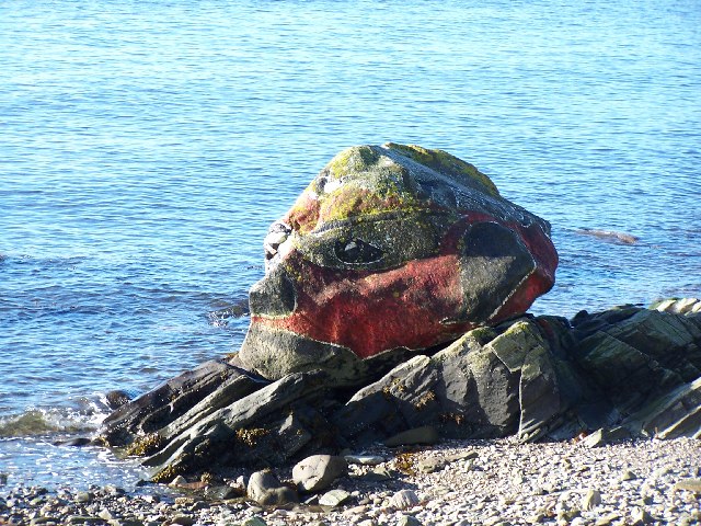
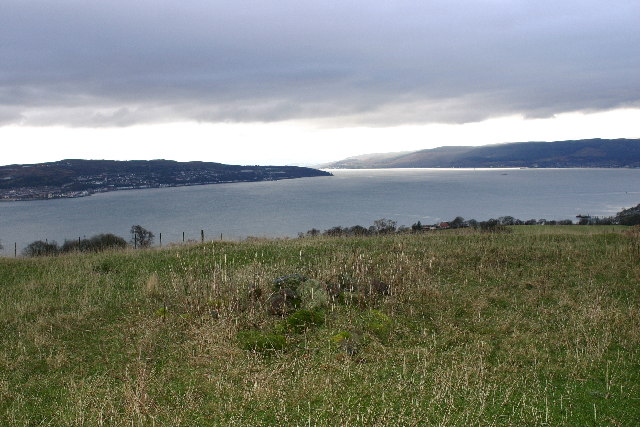
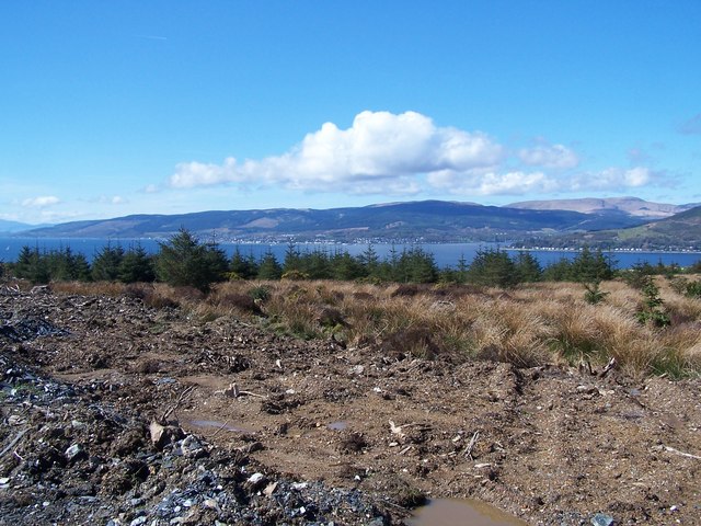
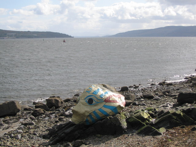
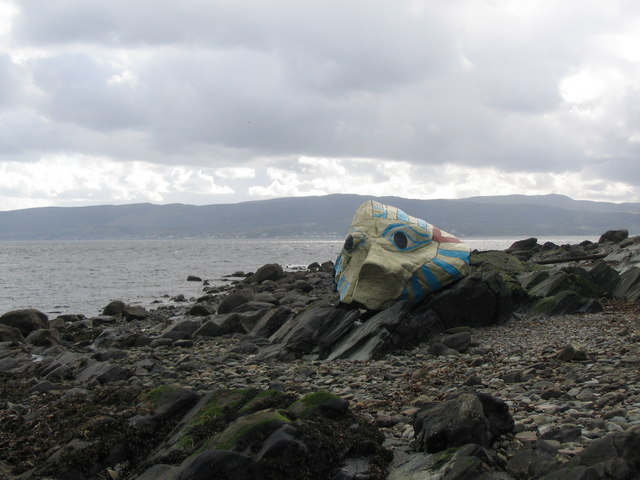
Kilcreggan Images

Images are sourced within 2km of 55.984678/-4.821362 or Grid Reference NS2480. Thanks to Geograph Open Source API. All images are credited.

The beach at Kilcreggan Bay The view looks towards the village of Kilcreggan and the ferry pier.
The beach at Kilcreggan Bay
The view looks towards the village of Kilcreggan and the ferry pier.
Old Milestone by the B833, Kilcreggan, Rosneath Parish Dunbarton plate by the B833, in parish of Rosneath (Argyll and Bute District), Kilcreggan, on bend opposite the iron railings, against stone wall, North side of road.

Inscription reads:- : {pointing hand} / DUNBARTON / 21 MILES / {pointing hand} / GARELOCHHEAD / 8½ MILES / {pointing hand} / COULPORT / 5½ MILES :

Milestone Society National ID: AB_GLCP08
Old Milestone by the B833, Kilcreggan, Rosneath Parish
Dunbarton plate by the B833, in parish of Rosneath (Argyll and Bute District), Kilcreggan, on bend opposite the iron railings, against stone wall, North side of road. Inscription reads:- : {pointing hand} / DUNBARTON / 21 MILES / {pointing hand} / GARELOCHHEAD / 8½ MILES / {pointing hand} / COULPORT / 5½ MILES : Milestone Society National ID: AB_GLCP08
Old Milepost by the B833, Shore Road, Barons Point Dunbarton plate by the B833, in parish of Rosneath (Argyll & Bute District), Barons Point, Shore Road, near entrance to Glen Eden.

Inscription reads:-
{hand->}
DUNBARTON
25 MILES.
-----
{hand->}
KILCREGGAN
1 MILE
-----
{<-hand}
COULPORT
(4½)

Grade A listed as part of the boundary wall of Glen Eden.
Reference: LB43442 <span class="nowrap"><a title="https://portal.historicenvironment.scot/designation/LB43442" rel="nofollow ugc noopener" href="https://portal.historicenvironment.scot/designation/LB43442">Link</a><img style="margin-left:2px;" alt="External link" title="External link - shift click to open in new window" src="https://s1.geograph.org.uk/img/external.png" width="10" height="10"/></span>

Milestone Society National ID: AB_GLCP09
Old Milepost by the B833, Shore Road, Barons Point
Dunbarton plate by the B833, in parish of Rosneath (Argyll & Bute District), Barons Point, Shore Road, near entrance to Glen Eden. Inscription reads:- {hand->} DUNBARTON 25 MILES. ----- {hand->} KILCREGGAN 1 MILE ----- {<-hand} COULPORT (4½) Grade A listed as part of the boundary wall of Glen Eden. Reference: LB43442 LinkExternal link Milestone Society National ID: AB_GLCP09
Argyll mist and mountains Viewed from Lyle Hill in Greenock, the mist is over the Firth of Clyde. The more prominent snow-capped peak (left of centre) is most likely the 56Km distant 112m Ben Cruachan. The telecoms mast on the right is on top of the hill at Coulport.
Argyll mist and mountains
Viewed from Lyle Hill in Greenock, the mist is over the Firth of Clyde. The more prominent snow-capped peak (left of centre) is most likely the 56Km distant 112m Ben Cruachan. The telecoms mast on the right is on top of the hill at Coulport.
The Cobbler from Lyle Hill The 29Km distant 884m Ben Arthur, better known as The Cobbler, with the top part of  the 4Km distant Rosneath Transmitter peeking through the mist in the middle distance.
The Cobbler from Lyle Hill
The 29Km distant 884m Ben Arthur, better known as The Cobbler, with the top part of the 4Km distant Rosneath Transmitter peeking through the mist in the middle distance.
Gallow Hill View up the Gare Loch. The hill is home to a TV transmitter and is just across the Clyde from Greenock.
Gallow Hill
View up the Gare Loch. The hill is home to a TV transmitter and is just across the Clyde from Greenock.
Kilcreggan in winter The seagull was unintentional.
Kilcreggan in winter
The seagull was unintentional.
Portkill Point near Kilcreggan, taken from the ferry.
Portkill Point
near Kilcreggan, taken from the ferry.
TV transmitter On Gallow Hill
TV transmitter
On Gallow Hill
Kilcreggan Pier Taken from the Kenilworth Ferry (built 1936) and still going strong.
Kilcreggan Pier
Taken from the Kenilworth Ferry (built 1936) and still going strong.
Road to Portkil Farm Near Kilcreggan
Road to Portkil Farm
Near Kilcreggan
War Memorial Between Kilcreggan and Cove
War Memorial
Between Kilcreggan and Cove
Painted Rock Near Kilcreggan
Painted Rock
Near Kilcreggan
Gallow Hill cairn Looking SW from position
Gallow Hill cairn
Looking SW from position
Kilcreggan, End of Ailey burn track Looking across to Strone Point  and Dunoon
Kilcreggan, End of Ailey burn track
Looking across to Strone Point and Dunoon
Kilcreggan, view from Barbour Road Looking down the Clyde.  Gourock, Dunoon and Arran in the distance
Kilcreggan, view from Barbour Road
Looking down the Clyde. Gourock, Dunoon and Arran in the distance
New paint for King Tut A view looking to the southwest from Shore Road over the Firth of Clyde towards Cloch Point. The painted rock known as King Tut appears to have had a recent overhaul.
New paint for King Tut
A view looking to the southwest from Shore Road over the Firth of Clyde towards Cloch Point. The painted rock known as King Tut appears to have had a recent overhaul.
King Tut A view looking west from the foreshore below Shore Road towards Dunoon, showing a resplendent King Tut.
King Tut
A view looking west from the foreshore below Shore Road towards Dunoon, showing a resplendent King Tut.
Show me another place!

Kilcreggan is located at Grid Ref: NS2480 (Lat: 55.984678, Lng: -4.821362)

Unitary Authority: Argyll and Bute

Police Authority: Argyll and West Dunbartonshire

What 3 Words

///doubts.training.tickets. Near Kilcreggan, Argyll & Bute

Nearby Locations

Kilcreggan Kilcreggan Bay

Related Wikis

Kilcreggan

Kilcreggan (Scottish Gaelic: Cille Chreagain) is a village on the Rosneath peninsula in Argyll and Bute, West of Scotland. It developed on the north shore...

Lindowan Reservoir

Lindowan Reservoir is of the impounding variety, located 1 kilometre north of Kilcreggan. It used to be the main source of water for a nearby threshing...

Portkil

Portkil is a village on the north shore of the Firth of Clyde in Argyll and Bute, Scotland, and is at the south end of the Rosneath Peninsula. == References... ==

Cove Burgh Hall

Cove Burgh Hall is a municipal structure in Shore Road in Cove, Argyll and Bute, Scotland. The structure, which is used as a community events venue, is...

Nearby Amenities

Located within 500m of 55.984678,-4.821362
Parking
Lat/Long: 55.9880601/-4.8180414
Ferry Terminal
Bicycle: yes
Ferry: yes
Foot: yes
Public Transport: station
Lat/Long: 55.9840047/-4.8196931
Parking
Lat/Long: 55.9851073/-4.81969
Crossing
Crossing: zebra
Crossing Island: no
Lat/Long: 55.9850442/-4.8202153
Bench
Backrest: yes
Material: wood
Lat/Long: 55.9846666/-4.8208045
Bench
Backrest: yes
Material: wood
Lat/Long: 55.9846775/-4.820534
Bench
Backrest: yes
Material: wood
Lat/Long: 55.9846925/-4.8205642
Telephone
Booth: K6
Covered: booth
Listed Status: Category B
Phone: +44 1436 843178
Lat/Long: 55.9850226/-4.8200645
Bicycle Parking
Bicycle Parking: stands
Capacity: 8
Covered: no
Lat/Long: 55.9847479/-4.8203638
Kilcreggan Pier
Leisure: marina
Seamark Harbour Category: marina
Seamark Type: harbour
Lat/Long: 55.9841213/-4.8195953
Power: pole
Lat/Long: 55.9880144/-4.8165753
Power: pole
Lat/Long: 55.9879862/-4.817183
Power: pole
Lat/Long: 55.9879534/-4.8178556
Power: pole
Lat/Long: 55.9878397/-4.819488
Power: pole
Lat/Long: 55.9879112/-4.8207138
Power: pole
Lat/Long: 55.9886602/-4.821005
Power: pole
Lat/Long: 55.9888137/-4.8219417
Power: pole
Lat/Long: 55.988986/-4.8230166
Power: pole
Lat/Long: 55.9868821/-4.8149221
The data included in this document is from www.openstreetmap.org. The data is made available under ODbL.

Have you been to Kilcreggan?

Leave your review of Kilcreggan below (or comments, questions and feedback).