Kilcreggan Bay

Bay in Dunbartonshire

Scotland

Kilcreggan Bay

The beach at Kilcreggan Bay The view looks towards the village of Kilcreggan and the ferry pier.
The beach at Kilcreggan Bay Credit: Clive Nicholson

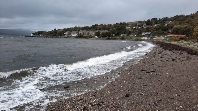
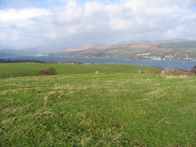
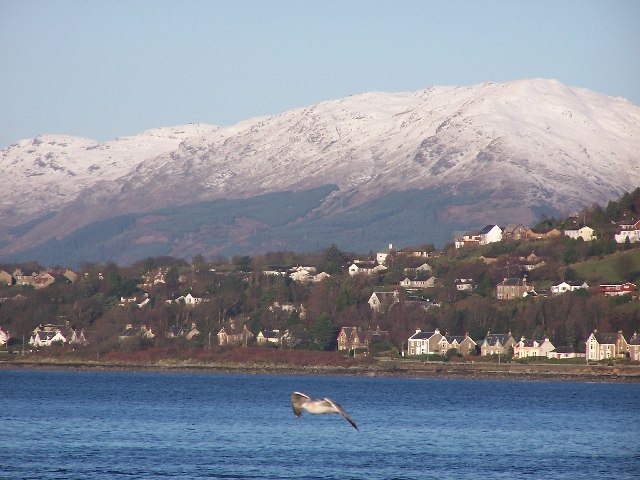
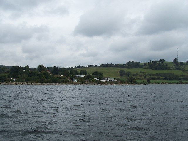
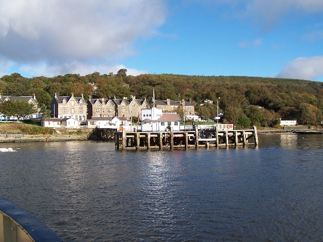
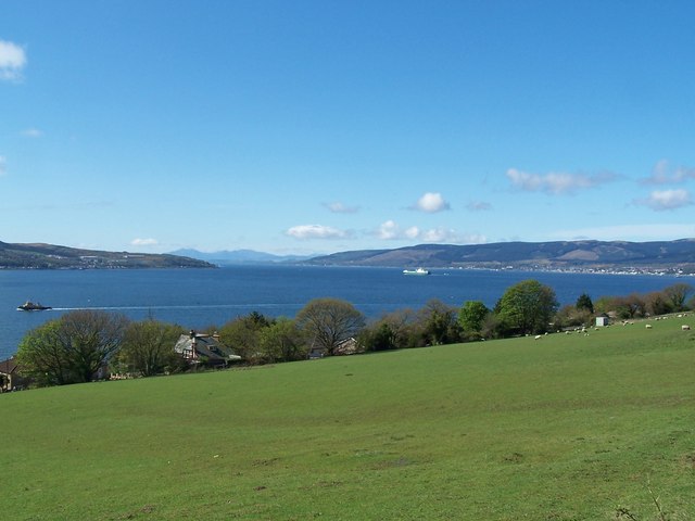
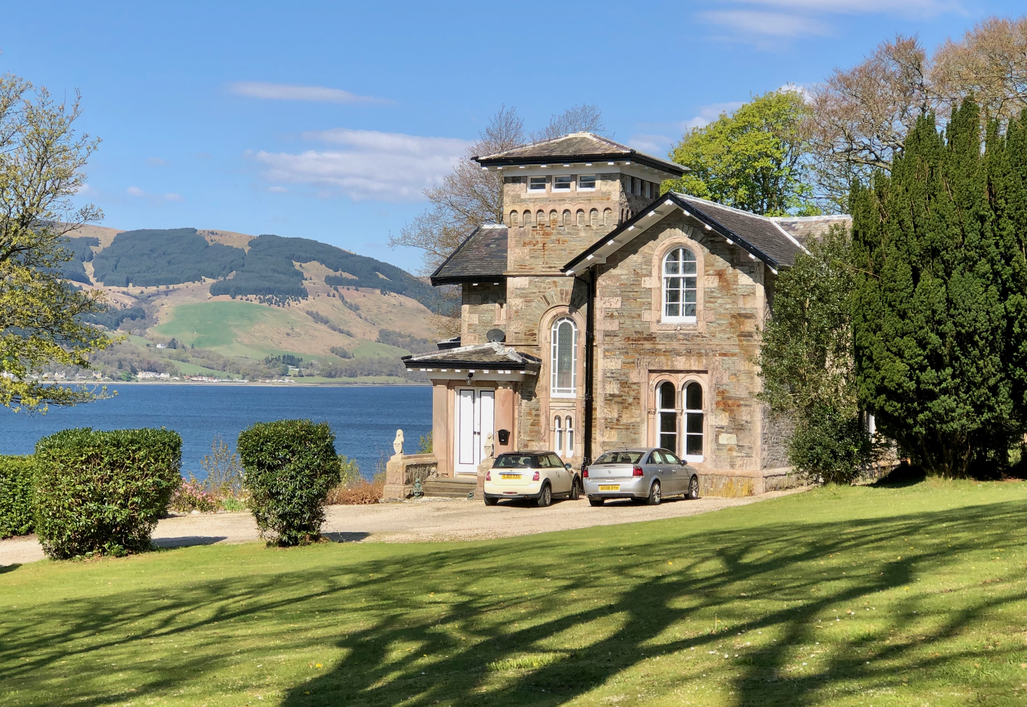
Kilcreggan Bay is a picturesque coastal area located in Dunbartonshire, Scotland. Situated on the eastern shore of the Rosneath Peninsula, it offers breathtaking views of the Firth of Clyde. The bay is named after the nearby village of Kilcreggan, which is known for its charming Victorian architecture and tranquil atmosphere.

The bay itself is a haven for nature lovers and outdoor enthusiasts. Its calm waters are perfect for various water activities such as sailing, kayaking, and fishing. The bay also attracts many birdwatchers, as it is home to a diverse range of bird species, including gulls, herons, and wading birds.

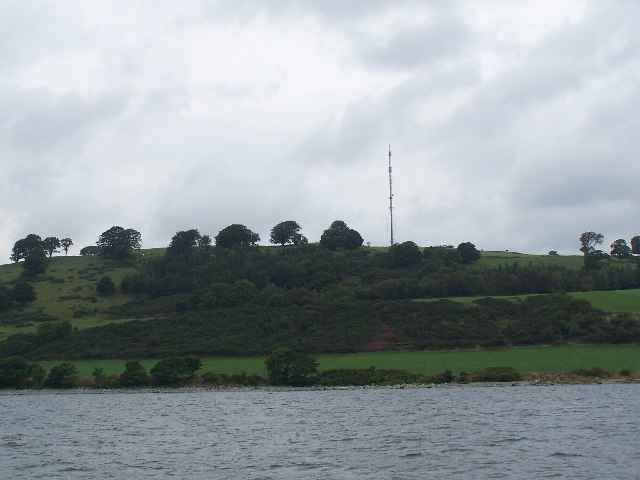
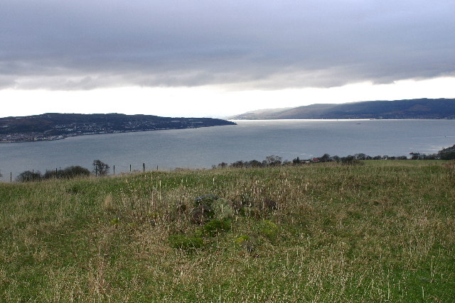
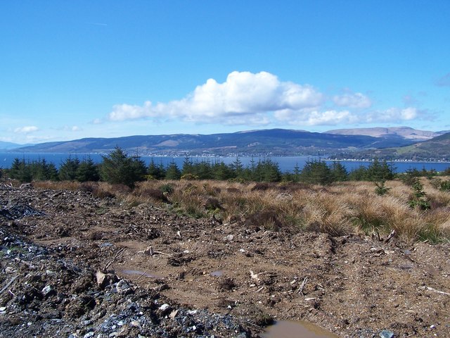
The surrounding landscape of Kilcreggan Bay is characterized by rolling hills and lush greenery, providing a stunning backdrop for leisurely walks and hikes. One popular walking trail is the Kilcreggan Coastal Path, which offers stunning panoramic views of the bay and the surrounding mountains.

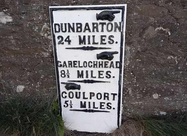
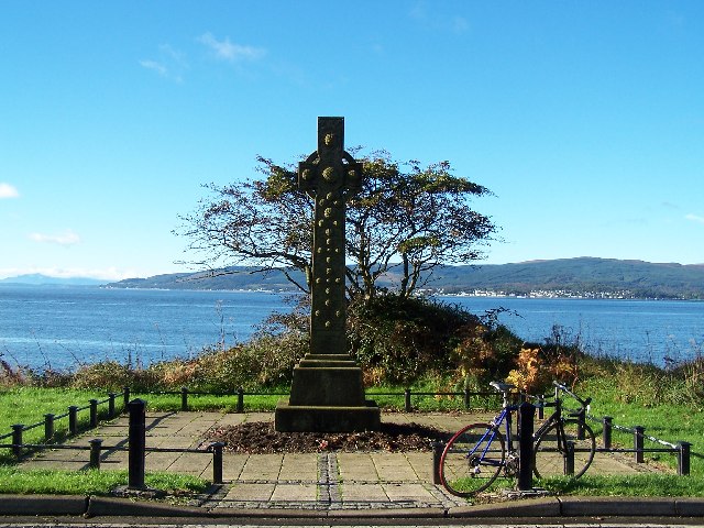
In addition to its natural beauty, Kilcreggan Bay is also steeped in history. The area has a rich maritime heritage, and remnants of old piers and boatyards can still be found along the bay. Visitors can explore the history and culture of the region at the nearby Cove and Kilcreggan Heritage Centre.

Overall, Kilcreggan Bay is a hidden gem in Dunbartonshire, offering a peaceful retreat for those seeking natural beauty, outdoor activities, and a glimpse into Scotland's past.

If you have any feedback on the listing, please let us know in the comments section below.

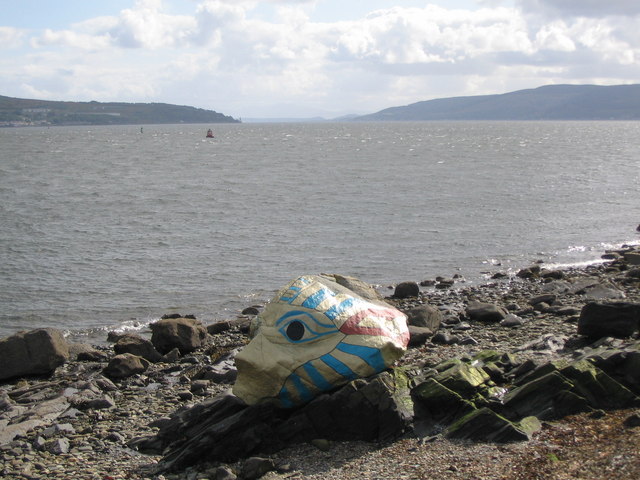
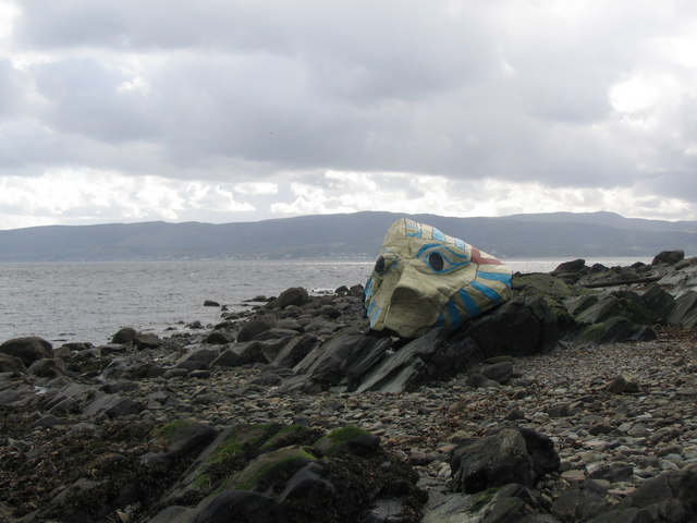
Kilcreggan Bay Images

Images are sourced within 2km of 55.984267/-4.8182703 or Grid Reference NS2480. Thanks to Geograph Open Source API. All images are credited.

The beach at Kilcreggan Bay The view looks towards the village of Kilcreggan and the ferry pier.
The beach at Kilcreggan Bay
The view looks towards the village of Kilcreggan and the ferry pier.
Old Milestone by the B833, Kilcreggan, Rosneath Parish Dunbarton plate by the B833, in parish of Rosneath (Argyll and Bute District), Kilcreggan, on bend opposite the iron railings, against stone wall, North side of road.

Inscription reads:- : {pointing hand} / DUNBARTON / 21 MILES / {pointing hand} / GARELOCHHEAD / 8½ MILES / {pointing hand} / COULPORT / 5½ MILES :

Milestone Society National ID: AB_GLCP08
Old Milestone by the B833, Kilcreggan, Rosneath Parish
Dunbarton plate by the B833, in parish of Rosneath (Argyll and Bute District), Kilcreggan, on bend opposite the iron railings, against stone wall, North side of road. Inscription reads:- : {pointing hand} / DUNBARTON / 21 MILES / {pointing hand} / GARELOCHHEAD / 8½ MILES / {pointing hand} / COULPORT / 5½ MILES : Milestone Society National ID: AB_GLCP08
Gallow Hill View up the Gare Loch. The hill is home to a TV transmitter and is just across the Clyde from Greenock.
Gallow Hill
View up the Gare Loch. The hill is home to a TV transmitter and is just across the Clyde from Greenock.
Kilcreggan in winter The seagull was unintentional.
Kilcreggan in winter
The seagull was unintentional.
Portkill Point near Kilcreggan, taken from the ferry.
Portkill Point
near Kilcreggan, taken from the ferry.
TV transmitter On Gallow Hill
TV transmitter
On Gallow Hill
Kilcreggan Pier Taken from the Kenilworth Ferry (built 1936) and still going strong.
Kilcreggan Pier
Taken from the Kenilworth Ferry (built 1936) and still going strong.
Road to Portkil Farm Near Kilcreggan
Road to Portkil Farm
Near Kilcreggan
War Memorial Between Kilcreggan and Cove
War Memorial
Between Kilcreggan and Cove
Painted Rock Near Kilcreggan
Painted Rock
Near Kilcreggan
Gallow Hill cairn Looking SW from position
Gallow Hill cairn
Looking SW from position
Kilcreggan, End of Ailey burn track Looking across to Strone Point  and Dunoon
Kilcreggan, End of Ailey burn track
Looking across to Strone Point and Dunoon
Kilcreggan, view from Barbour Road Looking down the Clyde.  Gourock, Dunoon and Arran in the distance
Kilcreggan, view from Barbour Road
Looking down the Clyde. Gourock, Dunoon and Arran in the distance
New paint for King Tut A view looking to the southwest from Shore Road over the Firth of Clyde towards Cloch Point. The painted rock known as King Tut appears to have had a recent overhaul.
New paint for King Tut
A view looking to the southwest from Shore Road over the Firth of Clyde towards Cloch Point. The painted rock known as King Tut appears to have had a recent overhaul.
King Tut A view looking west from the foreshore below Shore Road towards Dunoon, showing a resplendent King Tut.
King Tut
A view looking west from the foreshore below Shore Road towards Dunoon, showing a resplendent King Tut.
Firth of Clyde from the Barbour Road A view looking south from the Barbour Road over the Firth of Clyde. Viewers of the Channel 4 programme "Grand Designs" may recognise the building in the foreground, as it was featured on one of the episodes in the series.
See <span class="nowrap"><a title="http://www.channel4.com/4homes/ontv/grand-designs/houses/A/argyll-2.html" rel="nofollow ugc noopener" href="http://www.channel4.com/4homes/ontv/grand-designs/houses/A/argyll-2.html">Link</a><img style="margin-left:2px;" alt="External link" title="External link - shift click to open in new window" src="https://s1.geograph.org.uk/img/external.png" width="10" height="10"/></span> for Grand Designs Pictures.
Firth of Clyde from the Barbour Road
A view looking south from the Barbour Road over the Firth of Clyde. Viewers of the Channel 4 programme "Grand Designs" may recognise the building in the foreground, as it was featured on one of the episodes in the series. See LinkExternal link for Grand Designs Pictures.
Overturned caravan near the Barbour Road A view looking east from the Barbour Road. I assume the caravan was blown over in the winter gales.
Overturned caravan near the Barbour Road
A view looking east from the Barbour Road. I assume the caravan was blown over in the winter gales.
Kilcreggan Pier A view looking southeast from the car park on Shore Road, down the Firth of Clyde ,with the high rise buildings at Port Glasgow in the distance above Kilcreggan Pier.
Kilcreggan Pier
A view looking southeast from the car park on Shore Road, down the Firth of Clyde ,with the high rise buildings at Port Glasgow in the distance above Kilcreggan Pier.
Show me another place!

Kilcreggan Bay is located at Grid Ref: NS2480 (Lat: 55.984267, Lng: -4.8182703)

Unitary Authority: Argyll and Bute

Police Authority: Argyll and West Dunbartonshire

What 3 Words

///veal.asked.unto. Near Kilcreggan, Argyll & Bute

Nearby Locations

Kilcreggan Kilcreggan Bay

Related Wikis

Kilcreggan

Kilcreggan (Scottish Gaelic: Cille Chreagain) is a village on the Rosneath peninsula in Argyll and Bute, West of Scotland. It developed on the north shore...

Lindowan Reservoir

Lindowan Reservoir is of the impounding variety, located 1 kilometre north of Kilcreggan. It used to be the main source of water for a nearby threshing...
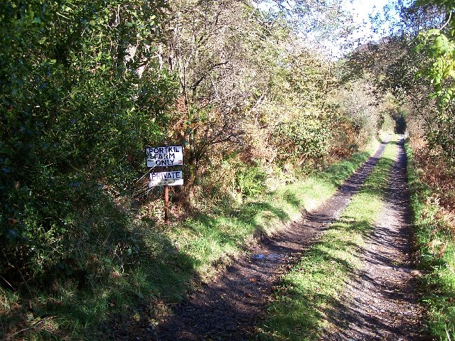
Portkil

Portkil is a village on the north shore of the Firth of Clyde in Argyll and Bute, Scotland, and is at the south end of the Rosneath Peninsula. == References... ==
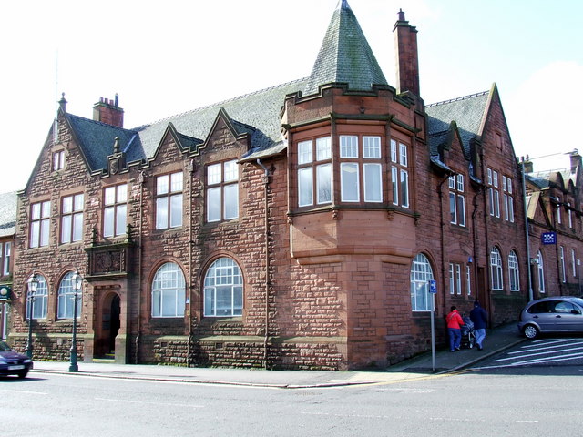
Cove Burgh Hall

Cove Burgh Hall is a municipal structure in Shore Road in Cove, Argyll and Bute, Scotland. The structure, which is used as a community events venue, is...

Craig Ailey

Craig Ailey is a villa at Cove, originally named Italian Villa. The site above a craig (cliff) gives views over the Firth of Clyde and its junction with...

Gourock railway station

Gourock railway station is a terminus of the Inverclyde Line, located at Gourock pierhead, Scotland, and serves the town as well as the ferry services...

Granny Kempock Stone

The megalithic Kempock Stone, popularly known as Granny Kempock (perhaps because of its resemblance to an old woman), stands on a cliff behind Kempock...

Municipal Buildings, Gourock

The Municipal Buildings are based in Shore Street, Gourock, Inverclyde, Scotland. The structure, which is used as a business centre, is a Category C listed...

Related Videos

Scotland Esplanade Walking Tour | We walk the Esplanade, Battery Park, and streets of Greenock.

Scotland Esplanade Walking Tour | Join us as we walk the Esplanade in Scotland and visit Battery Park, plus walking streets of ...

SWEET TREAT for SCOTTISH HIKING | SAFFRON RICE PUDDING

One of the benefits of living in Scotland is that I get to do a lot of hill-walking. I am sharing what a usual day of hiking for me looks ...

Lunderston Bay Play Park - Gourock Inverclyde

Lunderston Bay Playground, Gourock PA19 1BB. A new play park for families right next to the beach with toilets and lunch options ...

Tower Hill in Gourock

Sam and I head out to Gourock for the day to walk up Tower Hill!

Nearby Amenities

Located within 500m of 55.984267,-4.8182703
Parking
Lat/Long: 55.9880601/-4.8180414
Ferry Terminal
Bicycle: yes
Ferry: yes
Foot: yes
Public Transport: station
Lat/Long: 55.9840047/-4.8196931
Parking
Lat/Long: 55.9851073/-4.81969
Crossing
Crossing: zebra
Crossing Island: no
Lat/Long: 55.9850442/-4.8202153
Bench
Backrest: yes
Material: wood
Lat/Long: 55.9846666/-4.8208045
Bench
Backrest: yes
Material: wood
Lat/Long: 55.9846775/-4.820534
Bench
Backrest: yes
Material: wood
Lat/Long: 55.9846925/-4.8205642
Telephone
Booth: K6
Covered: booth
Listed Status: Category B
Phone: +44 1436 843178
Lat/Long: 55.9850226/-4.8200645
Bicycle Parking
Bicycle Parking: stands
Capacity: 8
Covered: no
Lat/Long: 55.9847479/-4.8203638
Kilcreggan Pier
Leisure: marina
Seamark Harbour Category: marina
Seamark Type: harbour
Lat/Long: 55.9841213/-4.8195953
Power: pole
Lat/Long: 55.9870767/-4.8120157
Power: pole
Lat/Long: 55.9873064/-4.813032
Power: pole
Lat/Long: 55.9875315/-4.8139791
Power: pole
Lat/Long: 55.9878737/-4.8144401
Power: pole
Lat/Long: 55.9880695/-4.8152259
Power: pole
Lat/Long: 55.9880144/-4.8165753
Power: pole
Lat/Long: 55.9879862/-4.817183
Power: pole
Lat/Long: 55.9879534/-4.8178556
Power: pole
Lat/Long: 55.9878397/-4.819488
Power: pole
Lat/Long: 55.9879112/-4.8207138
Power: pole
Lat/Long: 55.9878761/-4.8144296
Power: pole
Lat/Long: 55.9874342/-4.8147335
Power: pole
Lat/Long: 55.9868821/-4.8149221
The data included in this document is from www.openstreetmap.org. The data is made available under ODbL.

Have you been to Kilcreggan Bay?

Leave your review of Kilcreggan Bay below (or comments, questions and feedback).