Kilcoy

Settlement in Ross-shire

Scotland

Kilcoy

Converted church This church is now a pleasant art gallery.
Converted church Credit: Gordon Brown

The requested URL returned error: 429 Too Many Requests

If you have any feedback on the listing, please let us know in the comments section below.
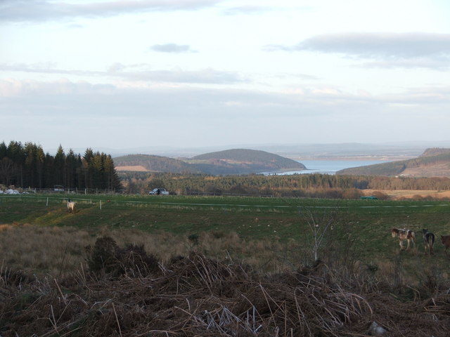
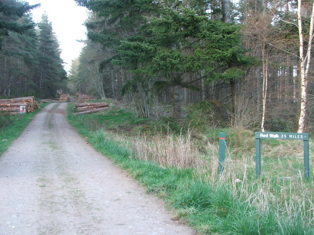
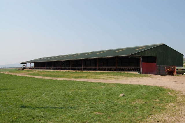
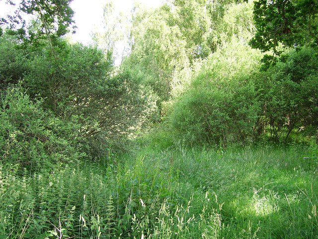
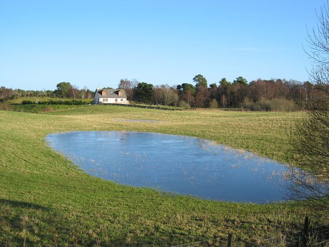
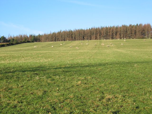
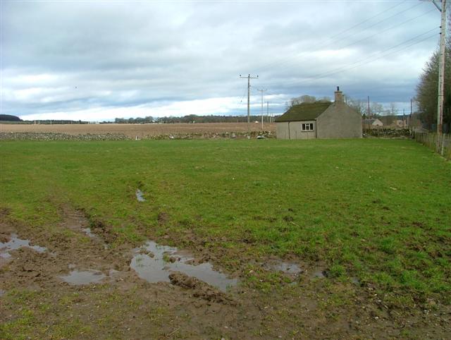
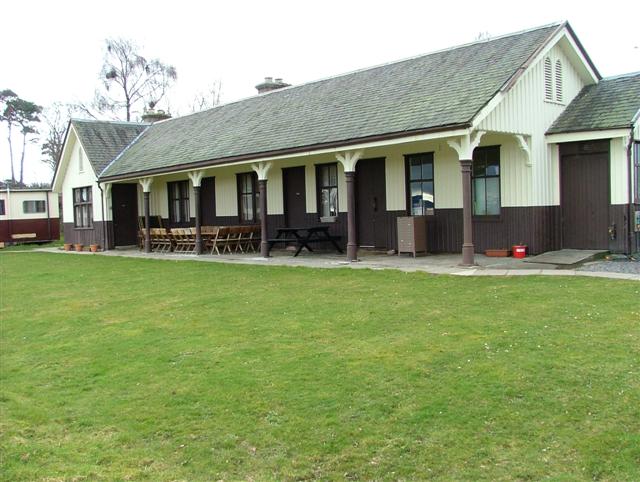
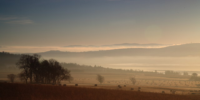
Kilcoy Images

Images are sourced within 2km of 57.535554/-4.363612 or Grid Reference NH5851. Thanks to Geograph Open Source API. All images are credited.

Converted church This church is now a pleasant art gallery.
Converted church
This church is now a pleasant art gallery.
Croftland working croftland with Munlochy Bay in the distance
Croftland
working croftland with Munlochy Bay in the distance
Forestry access track Forestry access track through Monadh Mor
Forestry access track
Forestry access track through Monadh Mor
Timber stacks recent deforestation work leaves these timber stacks piled up ready to be collected.
Timber stacks
recent deforestation work leaves these timber stacks piled up ready to be collected.
Forestry access track Forestry access track and forest walk
Forestry access track
Forestry access track and forest walk
Cattle Shed at Woodend Despite the warm May day, cattle were still being kept indoors here.
Cattle Shed at Woodend
Despite the warm May day, cattle were still being kept indoors here.
Cattle Grazing Fields at Glackmore
Cattle Grazing
Fields at Glackmore
Linnie Wood A lot of the Black Isle is wooded. This was moorland on the 1940's map now a very dense scrubby woodland.
Linnie Wood
A lot of the Black Isle is wooded. This was moorland on the 1940's map now a very dense scrubby woodland.
Looking Westward to the Tore roundabout.
Newton of Ferintosh A section of the field that has been flooded by days of rain is suddenly frozen on a clear, cold morning.
Newton of Ferintosh
A section of the field that has been flooded by days of rain is suddenly frozen on a clear, cold morning.
Field at Muckernich Sheep grazing in front of Mullins Wood.
Field at Muckernich
Sheep grazing in front of Mullins Wood.
Mains of Kilcoy Farm Near Kilcoy Castle.
Mains of Kilcoy Farm
Near Kilcoy Castle.
Fields and House At Mains of Kilcoy Farm.
Fields and House
At Mains of Kilcoy Farm.
Redcastle Old Railway Station Now occupied by Nansen Highland, a charity providing day and residential training for young adults with learning disabilities.
Redcastle Old Railway Station
Now occupied by Nansen Highland, a charity providing day and residential training for young adults with learning disabilities.
Easter Muchnich I am told that this farm is known locally as Easter Muckernich, the same as the neighbouring croft in NH5952. The name 'Muchnich' as on the OS map appears to be an error.
Easter Muchnich
I am told that this farm is known locally as Easter Muckernich, the same as the neighbouring croft in NH5952. The name 'Muchnich' as on the OS map appears to be an error.
Tore Gallery An interesting art gallery housed in a building that was formerly the Killearnan Free Church. The church was constructed in about 1860, using local Tarradale stone.
Tore Gallery
An interesting art gallery housed in a building that was formerly the Killearnan Free Church. The church was constructed in about 1860, using local Tarradale stone.
On the track to Parkton Often muddy, progress along the track is made lots easier by the frozen surface.
On the track to Parkton
Often muddy, progress along the track is made lots easier by the frozen surface.
View from Drynie Park towards Beauly Firth.
Show me another place!

Kilcoy is located at Grid Ref: NH5851 (Lat: 57.535554, Lng: -4.363612)

Unitary Authority: Highland

Police Authority: Highlands and Islands

What 3 Words

///highly.rejected.dishes. Near Conon Bridge, Highland

Nearby Locations

Kilcoy

Related Wikis

Redcastle railway station

Redcastle railway station served the parish of Killearnan, Ross and Cromarty, Scotland, from 1894 to 1951 on the Fortrose Branch. == History == The station...

Kilcoy Castle

Kilcoy Castle is a 16th-century castle near Muir of Ord and Tore on the Black Isle, in Ross and Cromarty, Scotland. Kilcoy Castle is a ā€˜Zā€™ plan fortalice...

Newton of Kinkell

Newton of Kinkell is a scattered crofting township, along with Newton of Ferintosh in Dingwall, Black Isle, Ross-shire, Scottish Highlands and is in the...

Newton of Ferintosh

Newton of Ferintosh is a scattered crofting township on the Black Isle in the Highland council area of Scotland. It is between the villages of Tore and...

Nearby Amenities

Located within 500m of 57.535554,-4.363612
Parking
Lat/Long: 57.5386575/-4.3593784
Power: pole
Lat/Long: 57.533818/-4.3706856
Power: pole
Lat/Long: 57.5342319/-4.3697278
Power: pole
Lat/Long: 57.534672/-4.3687375
Power: pole
Lat/Long: 57.5350815/-4.3678
Power: pole
Lat/Long: 57.5355085/-4.3668544
Power: pole
Lat/Long: 57.5351131/-4.3660367
Power: pole
Lat/Long: 57.5347504/-4.3652676
Power: pole
Lat/Long: 57.5371227/-4.3642165
Power: pole
Lat/Long: 57.5370682/-4.3627117
Power: pole
Lat/Long: 57.5359656/-4.3660592
Power: pole
Lat/Long: 57.5365438/-4.3650457
Power: pole
Lat/Long: 57.5372568/-4.3638642
Power: pole
Lat/Long: 57.5369184/-4.3617802
Power: pole
Lat/Long: 57.5396042/-4.3672224
Power: pole
Lat/Long: 57.5390779/-4.3659791
Power: pole
Lat/Long: 57.5387867/-4.3649385
Power: pole
Lat/Long: 57.5384603/-4.3637725
Power: pole
Lat/Long: 57.5385204/-4.3621238
Power: pole
Lat/Long: 57.5385619/-4.3607435
Power: pole
Lat/Long: 57.5387681/-4.3596064
Power: pole
Lat/Long: 57.5390012/-4.3582666
Power: pole
Lat/Long: 57.537851/-4.3636509
Power: pole
Lat/Long: 57.5376769/-4.3635794
Power: pole
Lat/Long: 57.538073/-4.3604315
The data included in this document is from www.openstreetmap.org. The data is made available under ODbL.

Have you been to Kilcoy?

Leave your review of Kilcoy below (or comments, questions and feedback).