Stirling Hill

Hill, Mountain in Aberdeenshire

Scotland

Stirling Hill

A90 at Stirling Hill The A90 as it passes between Stirling and Boddam villages. The houses in the foreground have been built along the route of the former Ellon to Boddam railway line, near to its terminus at Boddam, which was located in what was itself the domestic site for RAF Buchan.

Other landmarks to be seen are; the old Doctor's house off left centred, the now partially restored Buchan Ness Lodge (former residence of Lord Aberdeen) right centred, and of course the lighthouse on Buchan Ness itself.
A90 at Stirling Hill Credit: Iain Smith

Stirling Hill is a prominent geographical feature located in Aberdeenshire, Scotland. Rising to an elevation of approximately 544 meters (1,785 feet), it is classified as a hill rather than a mountain. Despite its relatively modest height, Stirling Hill offers breathtaking panoramic views of the surrounding countryside.

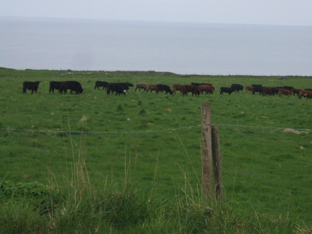
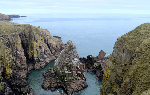
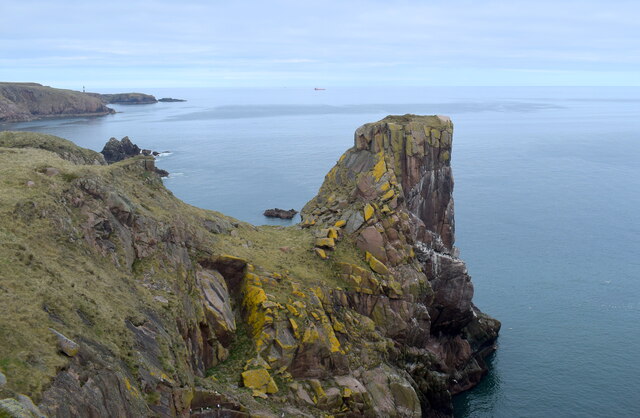
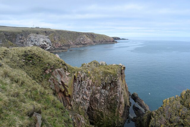
Situated in the eastern part of Aberdeenshire, Stirling Hill is part of the Grampian Mountain Range. It is nestled amidst a picturesque landscape, characterized by rolling hills, verdant fields, and meandering rivers. The hill is predominantly composed of granite, which lends it a rugged and distinctive appearance.

A popular destination for hikers and outdoor enthusiasts, Stirling Hill boasts several well-marked trails that cater to a range of abilities. The paths wind through heather-clad slopes, offering glimpses of wildflowers and native wildlife along the way. The ascent to the summit can be challenging, with steep sections and uneven terrain, but the rewarding views from the top make it all worthwhile.

At the summit of Stirling Hill, visitors are treated to a breathtaking panorama of Aberdeenshire and beyond. On clear days, it is possible to see as far as the North Sea and the Cairngorms National Park. The hill's strategic location also provides a vantage point for observing the changing seasons, with vibrant autumn colors and snow-capped peaks in winter.

Stirling Hill is easily accessible by both car and public transportation, and there is ample parking available at the base. It offers a peaceful and invigorating escape from the hustle and bustle of everyday life, making it a cherished destination for nature lovers and those seeking tranquility amidst Scotland's stunning landscapes.

If you have any feedback on the listing, please let us know in the comments section below.

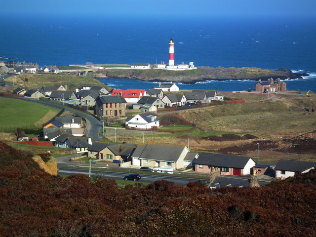
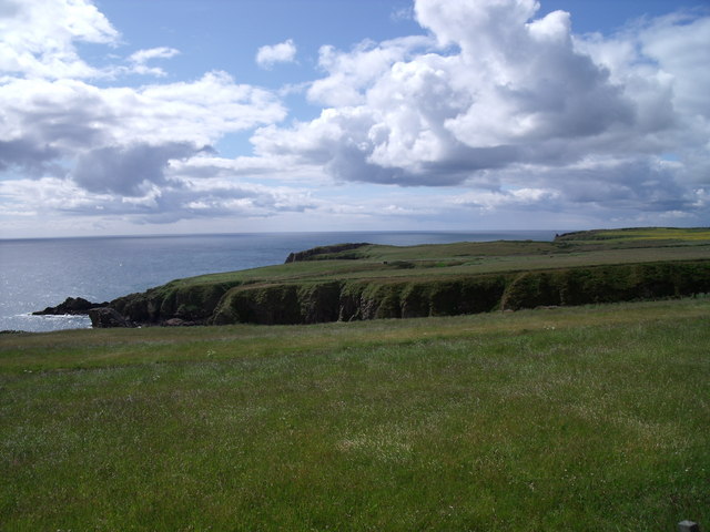
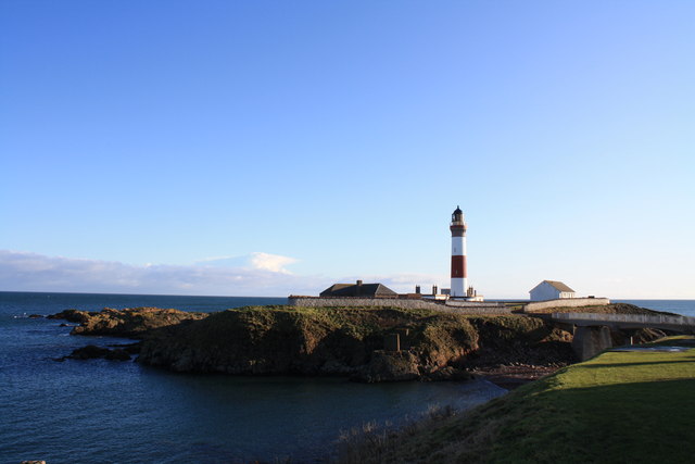
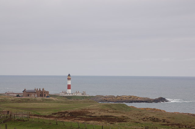
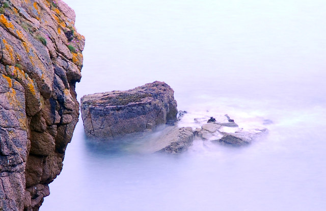
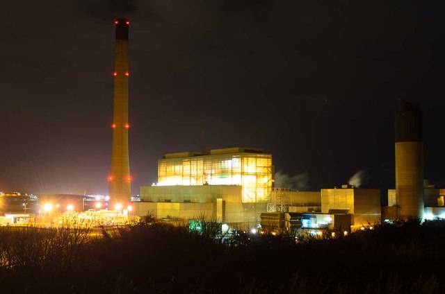
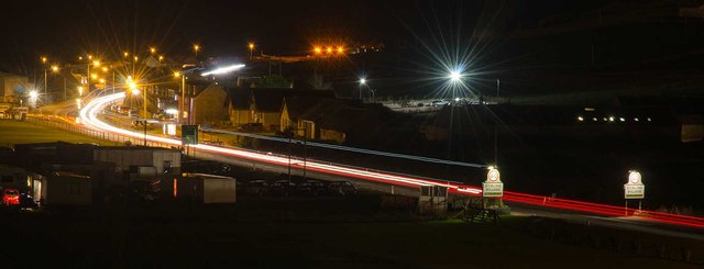
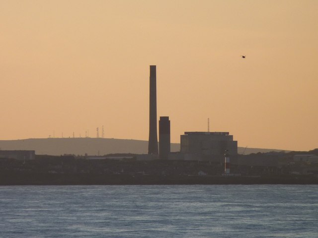
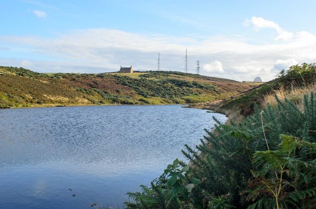
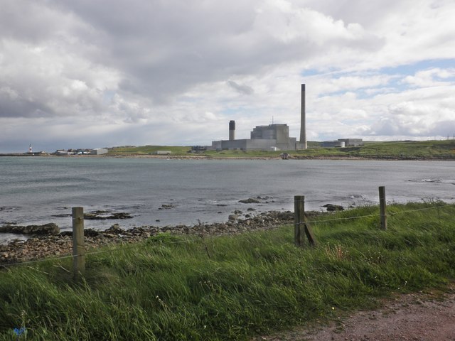
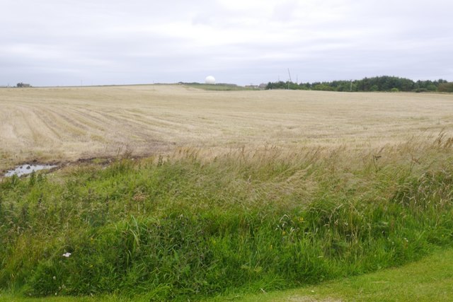
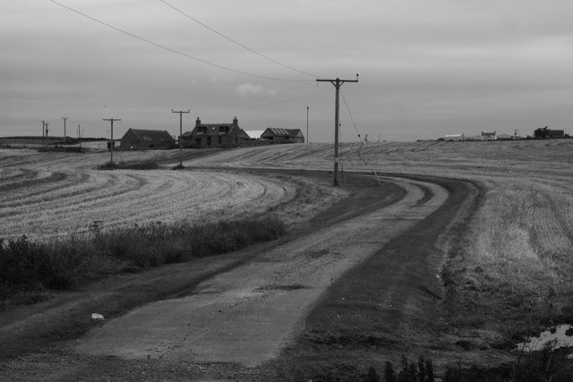
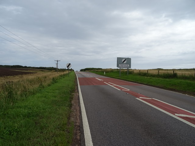
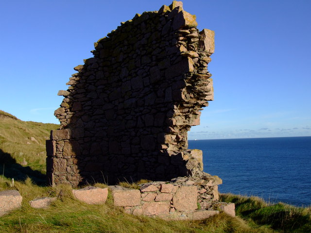
Stirling Hill Images

Images are sourced within 2km of 57.462098/-1.7965002 or Grid Reference NK1241. Thanks to Geograph Open Source API. All images are credited.

A90 at Stirling Hill The A90 as it passes between Stirling and Boddam villages. The houses in the foreground have been built along the route of the former Ellon to Boddam railway line, near to its terminus at Boddam, which was located in what was itself the domestic site for RAF Buchan.

Other landmarks to be seen are; the old Doctor's house off left centred, the now partially restored Buchan Ness Lodge (former residence of Lord Aberdeen) right centred, and of course the lighthouse on Buchan Ness itself.
A90 at Stirling Hill
The A90 as it passes between Stirling and Boddam villages. The houses in the foreground have been built along the route of the former Ellon to Boddam railway line, near to its terminus at Boddam, which was located in what was itself the domestic site for RAF Buchan. Other landmarks to be seen are; the old Doctor's house off left centred, the now partially restored Buchan Ness Lodge (former residence of Lord Aberdeen) right centred, and of course the lighthouse on Buchan Ness itself.
Rocky coastline near Little Dumeath The photograph was taken from an A90 parking area. Notice the beautiful clouds.
Rocky coastline near Little Dumeath
The photograph was taken from an A90 parking area. Notice the beautiful clouds.
Buchan Ness Buchan Ness lighthouse, Boddam.
Buchan Ness
Buchan Ness lighthouse, Boddam.
Buchan Ness lighthouse
Long Night Exposure of Rocks in Boddam A 25 second exposure at dusk of cliff edge and rocks just off Earls Court in Boddam, Aberdeenshire.
Long Night Exposure of Rocks in Boddam
A 25 second exposure at dusk of cliff edge and rocks just off Earls Court in Boddam, Aberdeenshire.
Peterhead Power Station at Night Peterhead's oil and gas fired power station, situated between Peterhead and Boddam.  The shot is taken from a scenic viewpoint, unfortunately on the wrong side of the grid square, making this a supplementary entry.
Peterhead Power Station at Night
Peterhead's oil and gas fired power station, situated between Peterhead and Boddam. The shot is taken from a scenic viewpoint, unfortunately on the wrong side of the grid square, making this a supplementary entry.
Stirling Village at Night The junction between Boddam's Station Road and the A90 as it runs through Stirling Village.
Stirling Village at Night
The junction between Boddam's Station Road and the A90 as it runs through Stirling Village.
Peterhead power station Seen from the sea.
Peterhead power station
Seen from the sea.
Den Dam Den Dam, famous in the area for the traditional sailing of model yachts, is located in the area of the Buchan Gravel Ridge, an important source of flint which was quarried by early farmers

The water from the dam fed the watercourse that provided power for the granite works of Sandford Mill near Peterhead.
Den Dam
Den Dam, famous in the area for the traditional sailing of model yachts, is located in the area of the Buchan Gravel Ridge, an important source of flint which was quarried by early farmers The water from the dam fed the watercourse that provided power for the granite works of Sandford Mill near Peterhead.
Peterhead Power Station
Barley stubble, Coldwells
Coldwells
Coldwells
A90 leaving Longhaven Towards Peterhead.
A90 leaving Longhaven
Towards Peterhead.
Cattle grazing at Blackhill
Unknown Ruins on Murdoch Head I'd originally come here to fill in a blank square, so I was a little surprised to find these remains on the very edge of the cliff at Murdoch Head. I was aware of there being the footings of an old smithy nearby, but I have no idea what this building once was, or how old it is. Although the type of mortar used would suggest 18th century or earlier.

As always, if anyone has any information, I would be most grateful.
Unknown Ruins on Murdoch Head
I'd originally come here to fill in a blank square, so I was a little surprised to find these remains on the very edge of the cliff at Murdoch Head. I was aware of there being the footings of an old smithy nearby, but I have no idea what this building once was, or how old it is. Although the type of mortar used would suggest 18th century or earlier. As always, if anyone has any information, I would be most grateful.
Looking down at the Meaths This named coastal rock is surrounded by water.  According to Celtic Place-names in Aberdeenshire by John Milne: "Meaths is a Scotch word which means marks and objects by which a person recognises a place. The Meaths apparently means marks by which fishermen found their way into a boat haven on a rocky coast."
Looking down at the Meaths
This named coastal rock is surrounded by water. According to Celtic Place-names in Aberdeenshire by John Milne: "Meaths is a Scotch word which means marks and objects by which a person recognises a place. The Meaths apparently means marks by which fishermen found their way into a boat haven on a rocky coast."
Granite stack at North Glash inlet According to Celtic Place-names in Aberdeenshire by John Milne, a 'glash' is a bay with a narrow mouth.
Granite stack at North Glash inlet
According to Celtic Place-names in Aberdeenshire by John Milne, a 'glash' is a bay with a narrow mouth.
Looking past Long Haven towards Boddam
Show me another place!

Stirling Hill is located at Grid Ref: NK1241 (Lat: 57.462098, Lng: -1.7965002)

Unitary Authority: Aberdeenshire

Police Authority: North East

What 3 Words

///grumbling.javelin.windmill. Near Boddam, Aberdeenshire

Related Wikis

Nearby Amenities

Located within 500m of 57.462098,-1.7965002
Noexit: yes
Lat/Long: 57.458859/-1.7914828
Noexit: yes
Lat/Long: 57.4598875/-1.7898011
Power: pole
Lat/Long: 57.4601601/-1.7947331
Power: pole
Lat/Long: 57.4594681/-1.7951529
Power: pole
Lat/Long: 57.4588062/-1.7955562
Power: pole
Lat/Long: 57.458037/-1.7960134
Power: pole
Lat/Long: 57.4636873/-1.8040667
Power: pole
Lat/Long: 57.4636381/-1.802936
Power: pole
Lat/Long: 57.4635867/-1.8017533
Power: pole
Lat/Long: 57.4635453/-1.8008699
Power: pole
Lat/Long: 57.4641512/-1.8009801
Power: pole
Lat/Long: 57.4646855/-1.8010798
Power: pole
Lat/Long: 57.4653806/-1.8011928
Power: pole
Lat/Long: 57.4658903/-1.8010014
Power: pole
Lat/Long: 57.4654356/-1.7909582
Power: pole
Lat/Long: 57.4656606/-1.7935481
Power: pole
Lat/Long: 57.4659743/-1.7932791
Power: pole
Lat/Long: 57.4654261/-1.7911374
Power: pole
Lat/Long: 57.4656088/-1.791846
Power: pole
Lat/Long: 57.4657803/-1.7925635
Power: pole
Lat/Long: 57.4663475/-1.7946961
Power: pole
Lat/Long: 57.4661765/-1.7979677
Power: pole
Lat/Long: 57.4662281/-1.7961571
Addr City: Peterhead
Addr Country: GB
Addr Postcode: AB42 3PE
Man Made: tower
Ref GB Uprn: 151126876
Tower Type: communication
Lat/Long: 57.4643008/-1.7911273
Post Box
Addr City: Peterhead
Addr Country: GB
Addr Postcode: AB42 3BB
Addr Street: Lendrum Terrace
Operator: Royal Mail
Ref GB Uprn: 151159946
Lat/Long: 57.4662546/-1.7987534
Noexit: yes
Lat/Long: 57.4662705/-1.7987115
Noexit: yes
Lat/Long: 57.4661201/-1.7964698
Man Made: mast
Lat/Long: 57.4594913/-1.7946423
The data included in this document is from www.openstreetmap.org. The data is made available under ODbL.

Have you been to Stirling Hill?

Leave your review of Stirling Hill below (or comments, questions and feedback).