Herring Cove
Sea, Estuary, Creek in Aberdeenshire
Scotland
Herring Cove
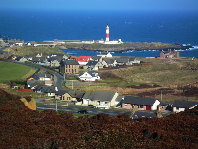
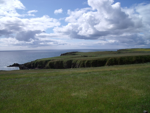
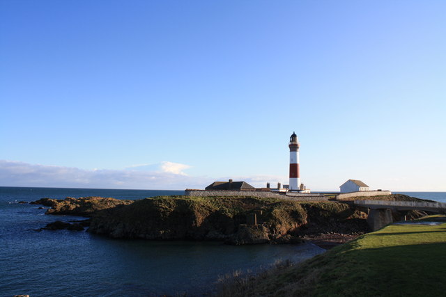
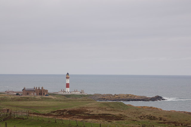
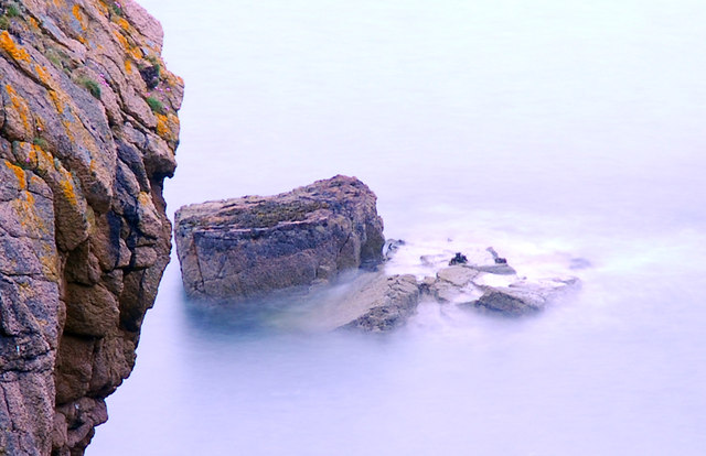
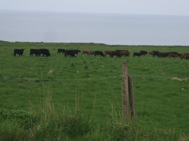
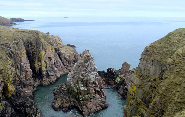
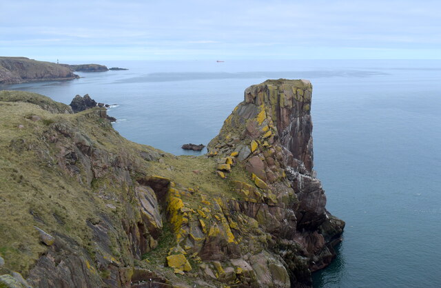
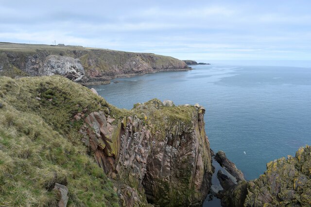
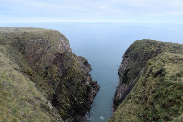
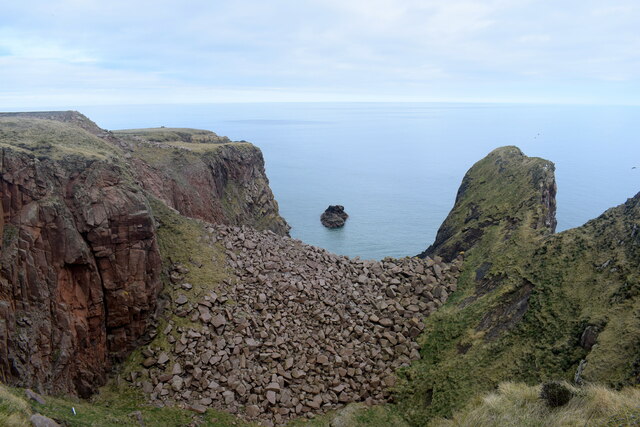
Herring Cove is a picturesque coastal area located in Aberdeenshire, Scotland. Nestled along the North Sea, this stunning region is known for its scenic beauty and rich marine ecosystem. The cove is surrounded by rugged cliffs and rolling hills, providing visitors with breathtaking views of the sea and the surrounding countryside.
One of the main features of Herring Cove is its expansive estuary. This estuary serves as a haven for a diverse range of wildlife, including various species of birds, fish, and marine mammals. The estuary also acts as a crucial feeding and breeding ground for many migratory birds, making it a popular spot for birdwatchers.
The cove itself boasts a sandy beach, which is a favorite among locals and tourists alike. The beach offers ample opportunities for relaxation, sunbathing, and beachcombing. The crystal-clear waters of the North Sea are perfect for swimming, and the marine life in the area provides excellent snorkeling and diving opportunities.
In addition to the beach and estuary, Herring Cove is also home to a small creek. The creek meanders through the landscape, adding to the area's natural charm and providing a tranquil spot for visitors to enjoy. The creek is surrounded by lush vegetation, creating a peaceful and serene atmosphere.
Herring Cove is a haven for nature lovers, offering a unique blend of coastal and countryside beauty. Whether it's exploring the estuary, relaxing on the beach, or simply enjoying the peacefulness of the creek, this hidden gem in Aberdeenshire is a must-visit destination for those seeking natural wonders and tranquility.
If you have any feedback on the listing, please let us know in the comments section below.
Herring Cove Images
Images are sourced within 2km of 57.459872/-1.7863956 or Grid Reference NK1241. Thanks to Geograph Open Source API. All images are credited.

Herring Cove is located at Grid Ref: NK1241 (Lat: 57.459872, Lng: -1.7863956)
Unitary Authority: Aberdeenshire
Police Authority: North East
What 3 Words
///strange.impaled.dislodge. Near Boddam, Aberdeenshire
Nearby Locations
Related Wikis

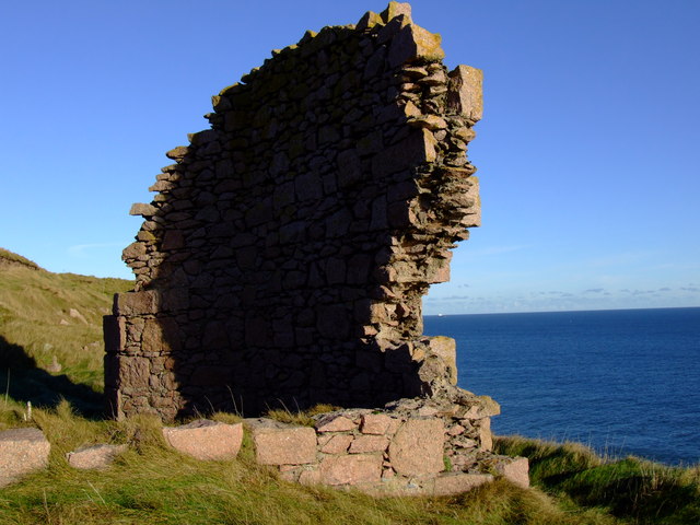
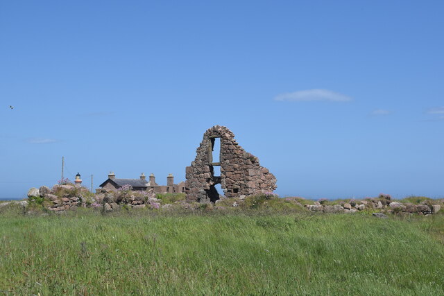
Boddam Castle
Boddam Castle is a ruined castle in Boddam, Aberdeenshire, Scotland. It was thought to have been built in the early 16th century as a seat for the Keiths...
Boddam railway station
Boddam railway station was a railway station in Boddam, Aberdeenshire that served as the terminus of a now closed line from Ellon. == History == The station...

Boddam Masonic Hall
Boddam Masonic Hall is an historic building in Boddam, Aberdeenshire, Scotland. It is a Category B listed structure, located a few hundred yards west of...

Stirling Village
Stirling Village is a settlement in the Buchan area of Aberdeenshire, Scotland, located on the A90 road immediately to the west of Boddam and 3 miles...
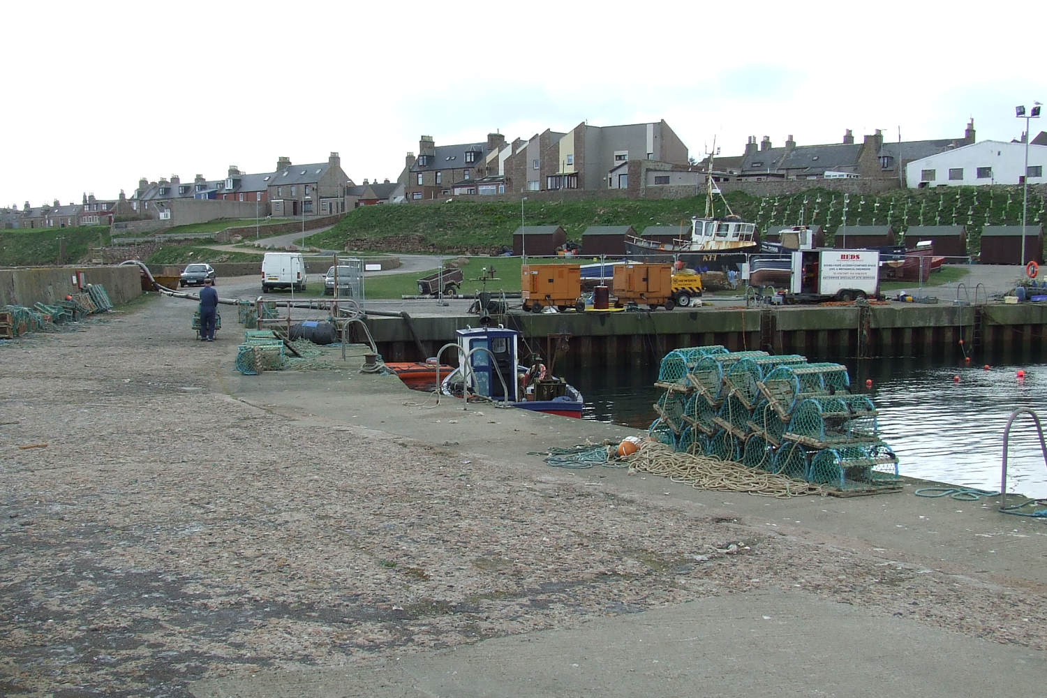
Boddam, Aberdeenshire
Boddam is a coastal village in Aberdeenshire, Scotland. It is 29 miles (47 km) north of Aberdeen and 3 miles (4.8 km) south of Peterhead. The settlement...

Brethren Meeting House
Brethren Meeting House is a Category C listed building at 26 Gordon Street in Boddam, Aberdeenshire, Scotland. It was formerly a late-Victorian-era Wesleyan...

Longhaven
Longhaven is a village in Aberdeenshire, Scotland, located two miles southwest of Boddam.Longhaven railway station closed in 1948. The village had a primary...

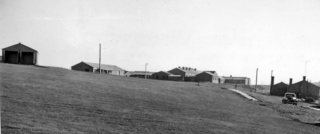
RAF Buchan
Royal Air Force Buchan or more simply RAF Buchan is a former Royal Air Force station near Peterhead in Aberdeenshire, Scotland. Buchan opened in 1952 as...
Nearby Amenities
Located within 500m of 57.459872,-1.7863956Have you been to Herring Cove?
Leave your review of Herring Cove below (or comments, questions and feedback).