Baylis's Hill
Hill, Mountain in Worcestershire Wychavon
England
Baylis's Hill
Baylis's Hill is a prominent geographical feature located in Worcestershire, England. Situated near the town of Malvern, it is classified as a hill rather than a mountain due to its relatively modest elevation. The hill rises to a height of around 231 meters (758 feet) above sea level.
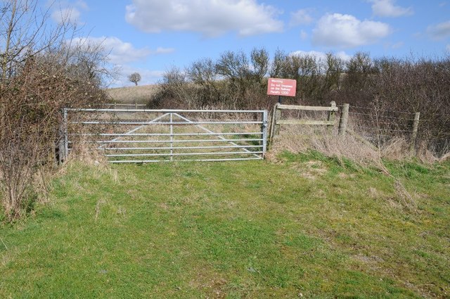
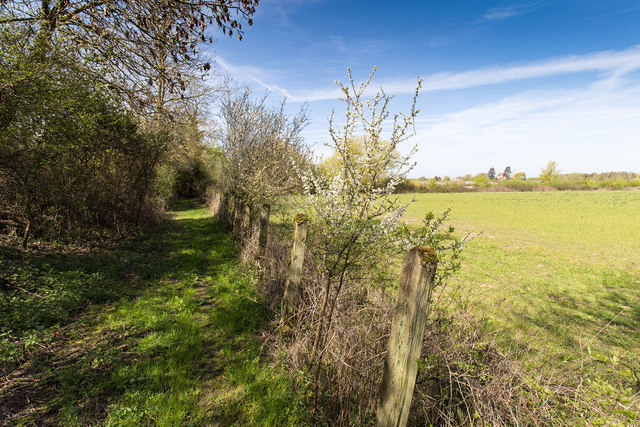
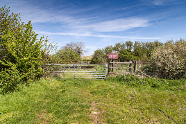
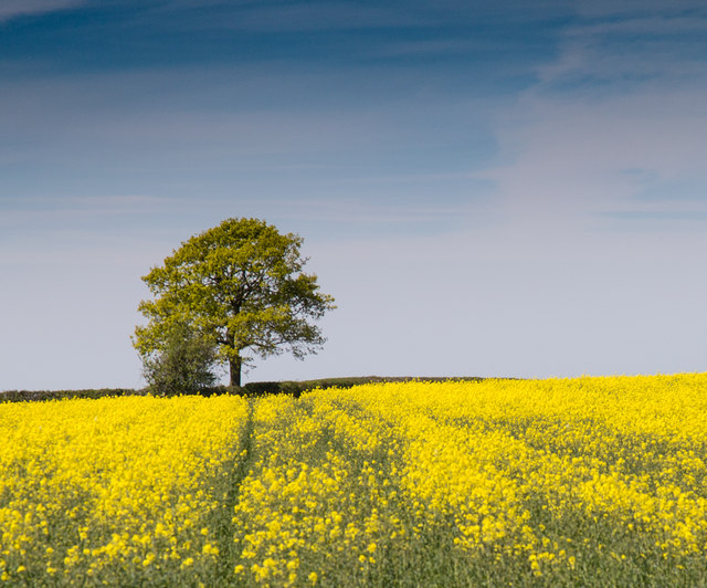
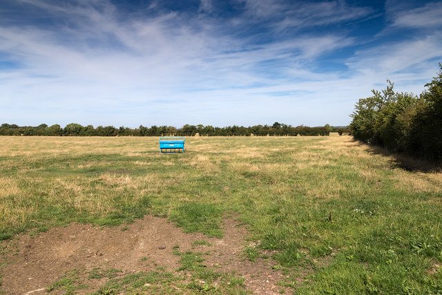
Baylis's Hill is known for its picturesque surroundings and offers breathtaking views of the surrounding countryside. It is a popular destination for hikers and nature enthusiasts, who are attracted to its tranquil atmosphere and stunning vistas. The hill is covered in lush greenery, with a mix of grasslands, woodlands, and wildflowers, making it an ideal spot for picnics or leisurely walks.
The hill is also steeped in history. It is named after the Baylis family, who were once prominent landowners in the area. In the past, Baylis's Hill was used as a vantage point for military purposes, providing a strategic observation post during times of conflict.
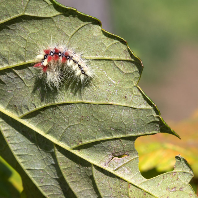
Today, Baylis's Hill is a designated Area of Outstanding Natural Beauty (AONB) and is protected by conservation efforts. The hill is home to a diverse range of flora and fauna, including several species of birds, butterflies, and small mammals. Visitors can also find remnants of historical structures, such as old boundary walls and ancient burial sites.
Overall, Baylis's Hill is a cherished natural landmark in Worcestershire, offering visitors a chance to connect with nature and immerse themselves in the rich history of the region.
If you have any feedback on the listing, please let us know in the comments section below.
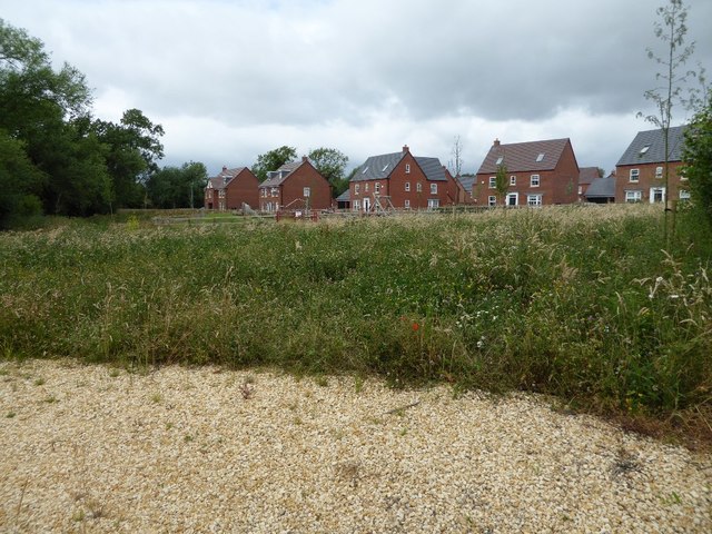
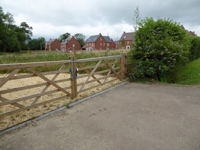
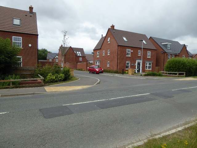
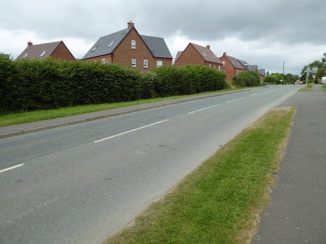
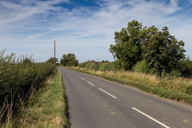
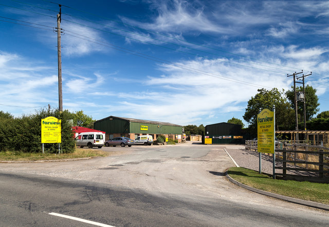
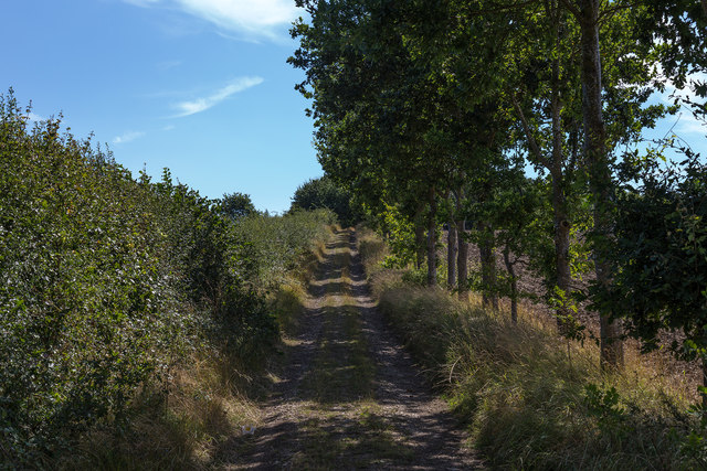
Baylis's Hill Images
Images are sourced within 2km of 52.105861/-1.8217544 or Grid Reference SP1245. Thanks to Geograph Open Source API. All images are credited.
Baylis's Hill is located at Grid Ref: SP1245 (Lat: 52.105861, Lng: -1.8217544)
Administrative County: Worcestershire
District: Wychavon
Police Authority: West Mercia
What 3 Words
///magic.mulled.scarecrow. Near Honeybourne, Worcestershire
Nearby Locations
Related Wikis

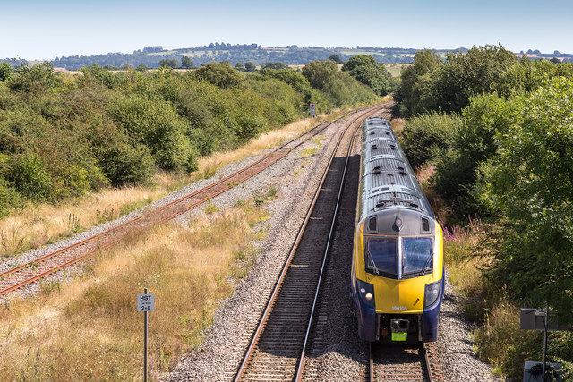
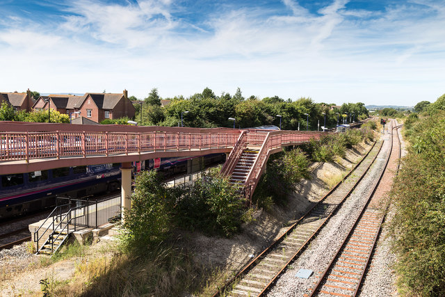
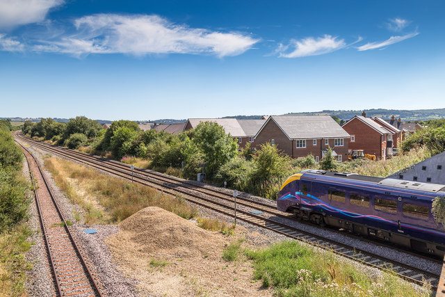
Honeybourne railway station
Honeybourne railway station serves the village of Honeybourne in Worcestershire, England. Opened in 1853, it is on the Cotswold Line and was formerly a...

Honeybourne
Honeybourne is a village and civil parish about 5 miles (8 km) east of Evesham in Worcestershire, England. Much of the parish is farmland. RAF Honeybourne...
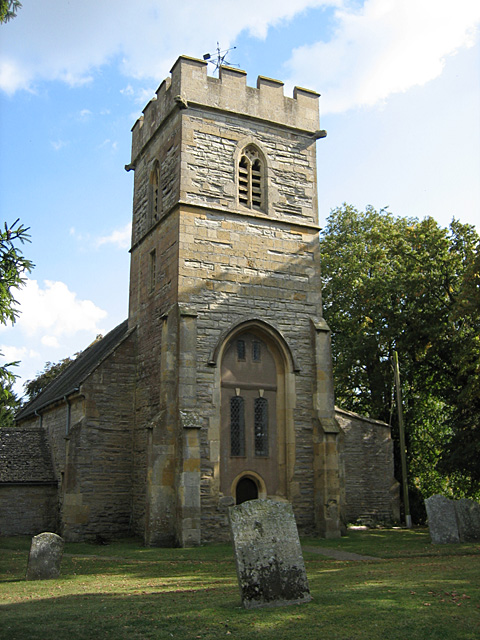
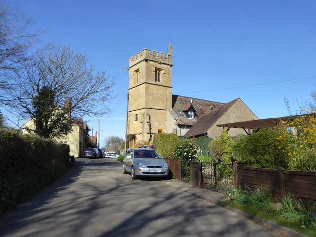
Pebworth
Pebworth is a village and civil parish in the county of Worcestershire, lying about 5 miles north-north-west of the town of Chipping Campden in Gloucestershire...

Pebworth Halt railway station
Pebworth Halt railway station served the village of Pebworth, Worcestershire, England from 1937 to 1966 on the Gloucestershire Warwickshire Railway....
The Priory, Pebworth
The Priory, Pebworth (Broad Marston Priory) is a listed building in the village of Pebworth, in Worcestershire, England. == References ==

HM Prison Long Lartin
HM Prison Long Lartin is a Category A men's prison, located in the village of South Littleton (near Evesham) in the Wychavon district in Worcestershire...
RAF Honeybourne
Royal Air Force Honeybourne, or more simply RAF Honeybourne, was a Royal Air Force station located 0.6 miles (0.97 km) south of Honeybourne, Worcestershire...
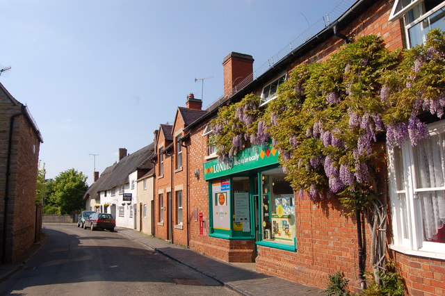
Bretforton
Bretforton is a rural village in Worcestershire, England, 4.4 miles (7.1 km) east of Evesham, in the Vale of Evesham. It is the largest farming village...
Nearby Amenities
Located within 500m of 52.105861,-1.8217544Have you been to Baylis's Hill?
Leave your review of Baylis's Hill below (or comments, questions and feedback).