Banktop
Hill, Mountain in Staffordshire Staffordshire Moorlands
England
Banktop
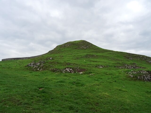
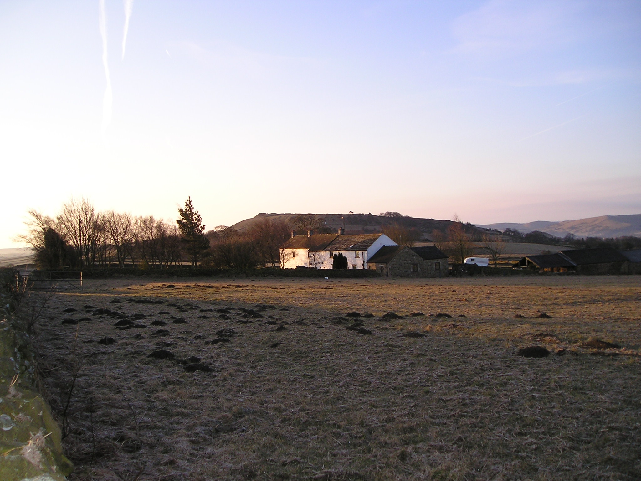
Banktop is a small hill located in the county of Staffordshire, England. Situated in the scenic countryside, it is part of the beautiful landscape that characterizes this region. With an elevation of approximately 350 meters, Banktop is not classified as a mountain but rather a hill.
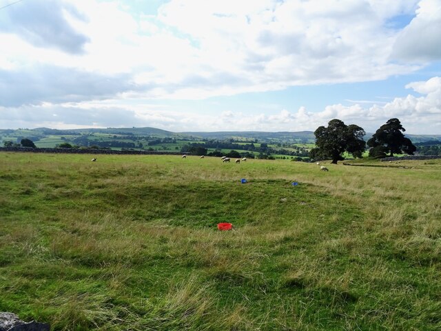
Covered in lush greenery, the hill offers stunning panoramic views of the surrounding area. Its slopes are adorned with various types of vegetation, including grasses, shrubs, and trees, creating a picturesque setting for visitors and locals alike. The hill provides an ideal spot for nature enthusiasts, hikers, and photographers to explore and capture the natural beauty of the Staffordshire countryside.
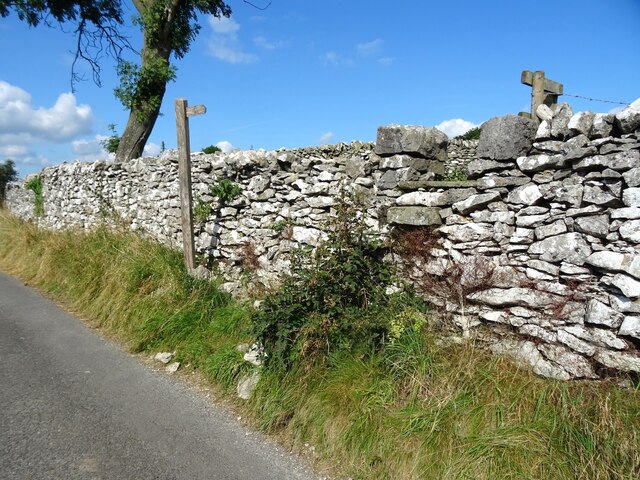
Banktop is easily accessible and well-connected to nearby towns and villages, making it a popular destination for day trips and outdoor activities. Its location within Staffordshire also means it is within reach of other notable attractions and landmarks, such as historic sites, charming villages, and nature reserves.
The hill is a haven for wildlife, providing a habitat for a diverse range of species. Birdwatchers can spot various avian species that inhabit the area, including woodpeckers, owls, and songbirds. Additionally, Banktop is home to small mammals like rabbits and foxes, as well as a variety of insects and butterflies.
Overall, Banktop in Staffordshire offers visitors a chance to immerse themselves in nature, appreciate the scenic beauty, and enjoy outdoor activities in a tranquil and picturesque setting.
If you have any feedback on the listing, please let us know in the comments section below.
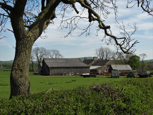
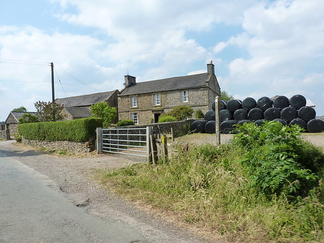
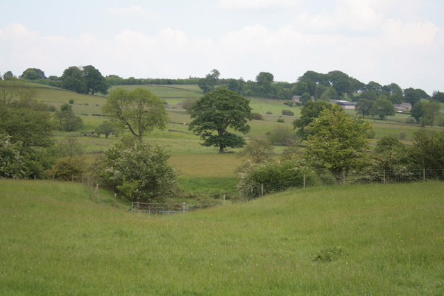
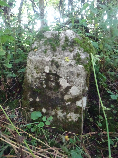
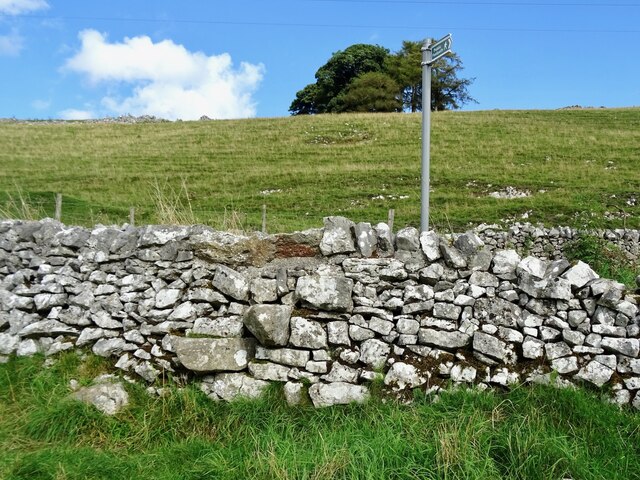
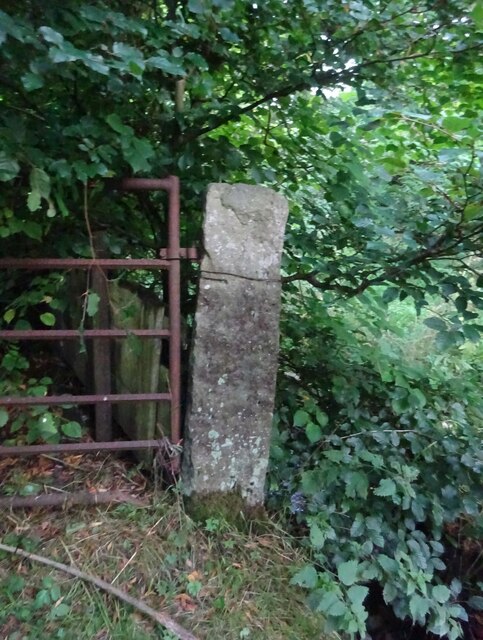
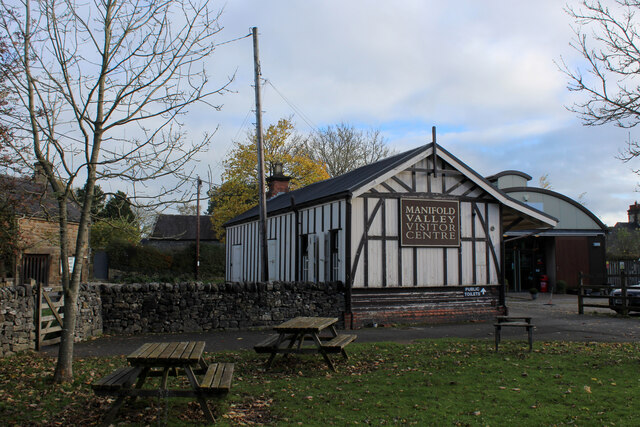
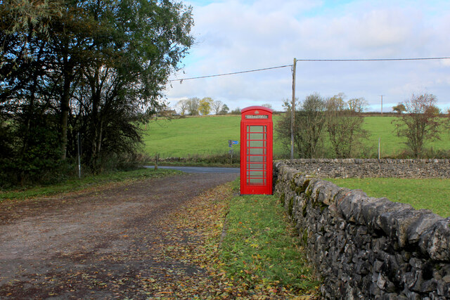
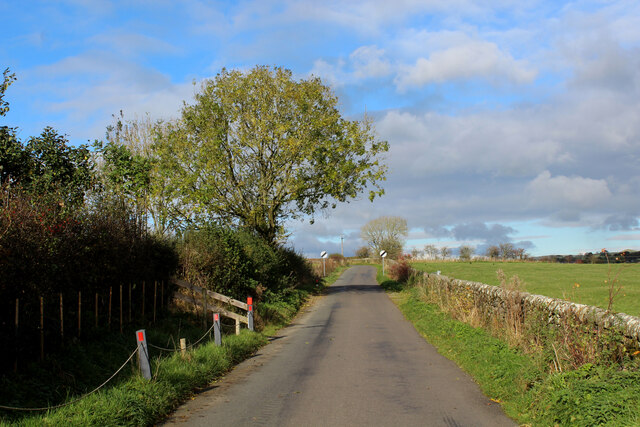
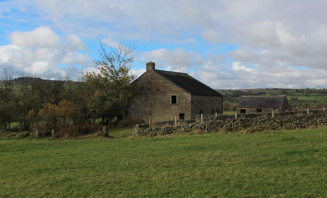
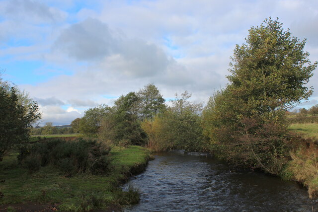
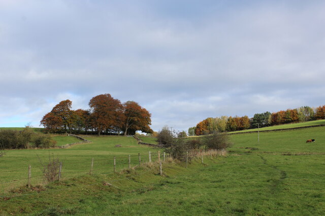
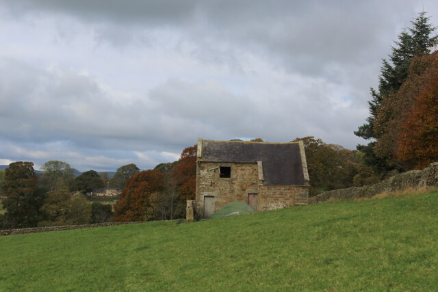
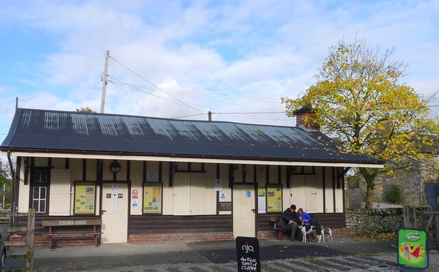
Banktop Images
Images are sourced within 2km of 53.137602/-1.8250385 or Grid Reference SK1160. Thanks to Geograph Open Source API. All images are credited.
Banktop is located at Grid Ref: SK1160 (Lat: 53.137602, Lng: -1.8250385)
Administrative County: Staffordshire
District: Staffordshire Moorlands
Police Authority: Staffordshire
What 3 Words
///oasis.data.reckons. Near Newhaven, Derbyshire
Nearby Locations
Related Wikis

Hartington, Derbyshire
Hartington is a village in the centre of the White Peak area of the Derbyshire Peak District, England, lying on the River Dove which is the Staffordshire...
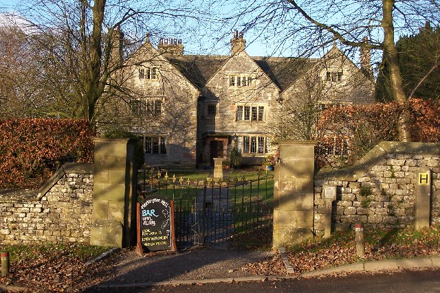
Hartington Hall
Hartington Hall is a much altered and extended 17th-century manor house at Hartington, Derbyshire, now a youth hostel. The Hall was built by the Bateman...
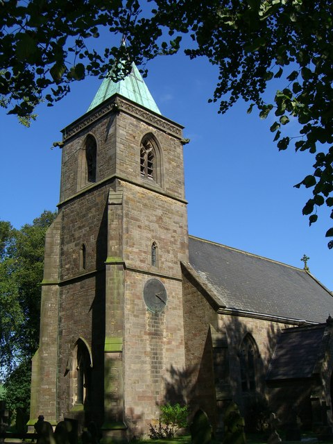
Church of St Luke, Sheen, Staffordshire
The Church of St Luke, Sheen, Staffordshire is a Grade II* listed Anglican church. Its origins are of the 14th century, but it was largely rebuilt in the...
Sheen, Staffordshire
Sheen is a village and civil parish in north-east Staffordshire, England. The parish is about 3.5 miles (5.6 km) north to south and about 2 miles (3.2...
Nearby Amenities
Located within 500m of 53.137602,-1.8250385Have you been to Banktop?
Leave your review of Banktop below (or comments, questions and feedback).