Cock Hill
Hill, Mountain in Yorkshire Harrogate
England
Cock Hill
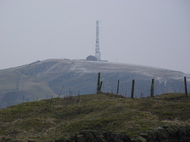
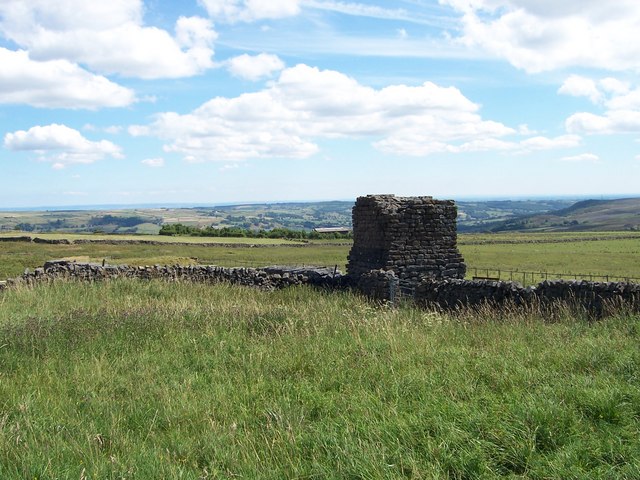
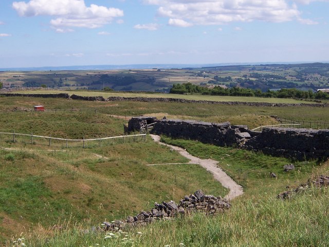
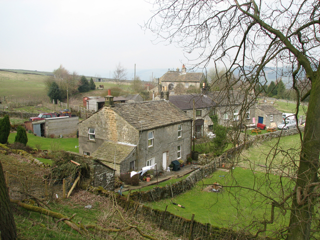
Cock Hill is a prominent geographical feature located in the county of Yorkshire, England. Situated near the village of Birstwith, it is a hill that forms part of the Pennines, a range of mountains and hills in Northern England.
Standing at an elevation of approximately 380 meters (1,250 feet), Cock Hill offers stunning panoramic views of the surrounding countryside. The hill is characterized by its distinctive shape, with a gently sloping ascent leading to a more rugged and steep peak. Its formation is believed to be the result of glacial activity during the last Ice Age.
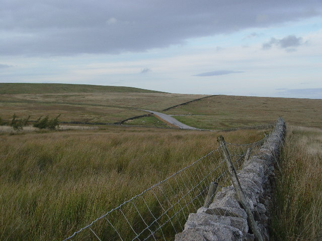
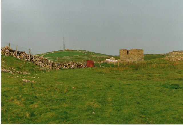
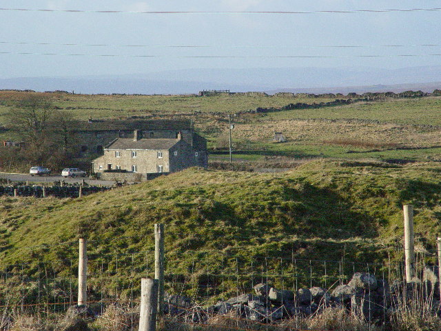
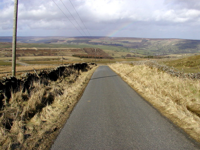
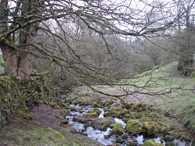
Covered in lush green vegetation, Cock Hill is home to a diverse range of flora and fauna, making it a popular destination for nature enthusiasts and hikers. The hill is crisscrossed by several walking trails, allowing visitors to explore its beauty and enjoy the tranquil surroundings.
Due to its elevated position, Cock Hill can experience unpredictable weather conditions, with temperatures often cooler at its summit than in the surrounding areas. Its exposed location also means that it can be susceptible to strong winds, adding to the sense of adventure for those who choose to climb it.
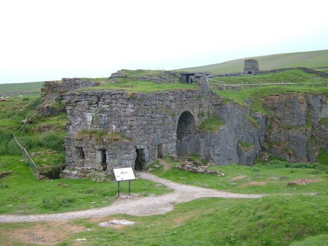
Cock Hill and its surrounding area have a rich history, with evidence of human occupation dating back to prehistoric times. Archaeological discoveries, such as ancient burial sites, have been made in the vicinity, providing valuable insights into the region's past.
In conclusion, Cock Hill is a picturesque and historically significant landmark in Yorkshire, offering breathtaking views and a chance to connect with nature.
If you have any feedback on the listing, please let us know in the comments section below.
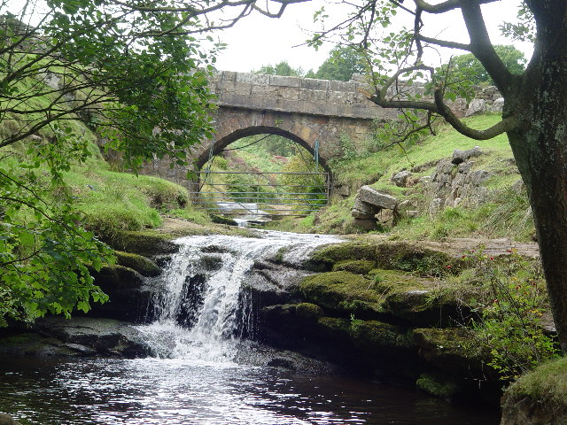
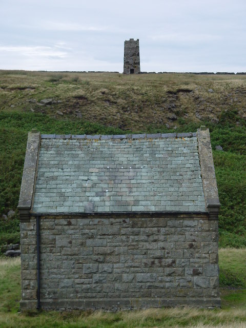
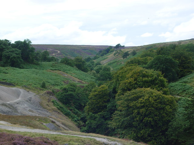
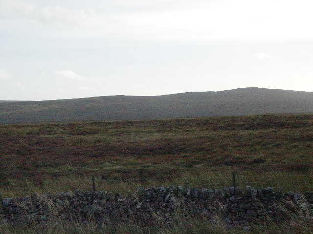
Cock Hill Images
Images are sourced within 2km of 54.074679/-1.8293042 or Grid Reference SE1164. Thanks to Geograph Open Source API. All images are credited.
Cock Hill is located at Grid Ref: SE1164 (Lat: 54.074679, Lng: -1.8293042)
Division: West Riding
Administrative County: North Yorkshire
District: Harrogate
Police Authority: North Yorkshire
What 3 Words
///siesta.blatantly.circular. Near Pateley Bridge, North Yorkshire
Nearby Locations
Related Wikis

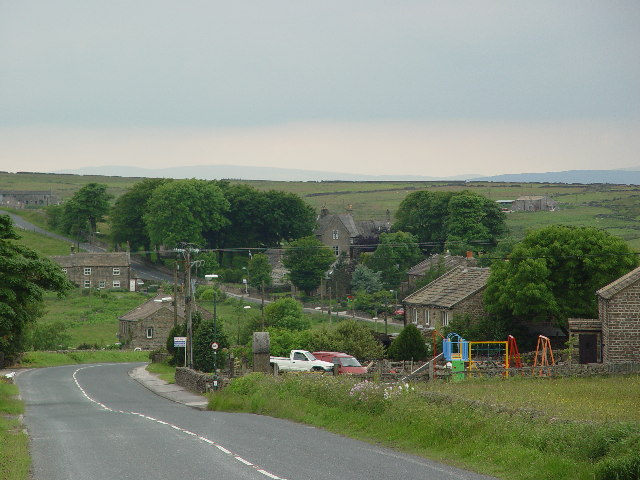
Greenhow
Greenhow is a village in North Yorkshire, England, often referred to as Greenhow Hill. The term how derives from the Old Norse word haugr meaning a hill...

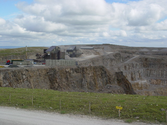
Stump Cross Caverns
Stump Cross Caverns is a limestone cave system between Wharfedale and Nidderdale in North Yorkshire, England. == Geography == The caverns at Stump Cross...
Heathfield, North Yorkshire
Heathfield is a hamlet in the civil parish of Stonebeck Down in upper Nidderdale, in North Yorkshire, England. It lies on a broad terrace on the west...
Nidderdale High School
Nidderdale High School is a coeducational secondary school located in Pateley Bridge, North Yorkshire, England. The school is named after Nidderdale, one...
Bewerley
Bewerley is a village and civil parish in the Harrogate district of North Yorkshire, England, about twelve miles west of Ripon. The parish includes the...

Pateley Bridge
Pateley Bridge (known locally as Pateley) is a market town in Nidderdale in the county and district of North Yorkshire, England. Historically part of the...
Pateley Bridge railway station (Nidd Valley Light Railway)
Pateley Bridge railway station (NVLR) was a railway station serving the southern terminus of the Nidd Valley Light Railway, in Pateley Bridge, North Yorkshire...

Pateley Bridge railway station
Pateley Bridge railway station is a disused railway station in North Yorkshire, England. The station was the terminating station on the North Eastern Railway...
Nearby Amenities
Located within 500m of 54.074679,-1.8293042Have you been to Cock Hill?
Leave your review of Cock Hill below (or comments, questions and feedback).