Bewerley Moor
Downs, Moorland in Yorkshire Harrogate
England
Bewerley Moor
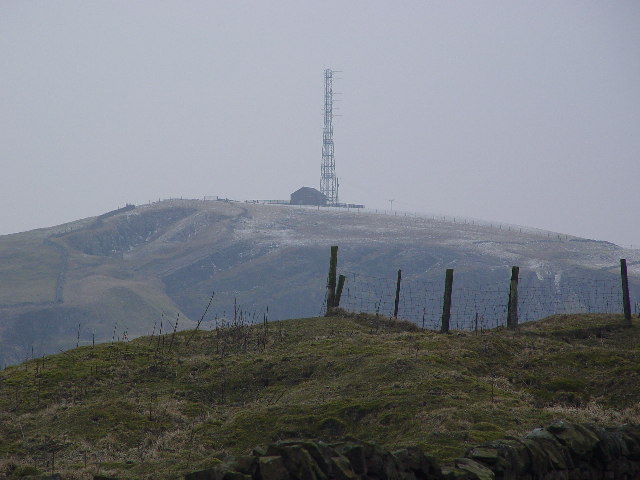
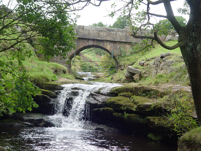
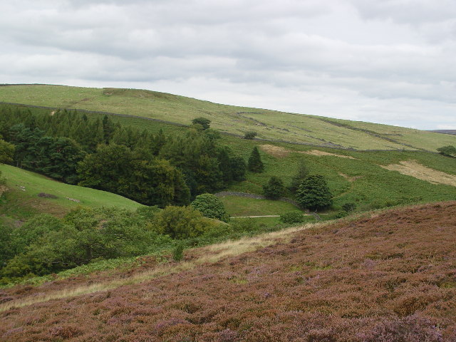
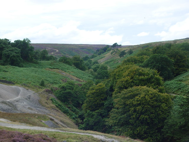
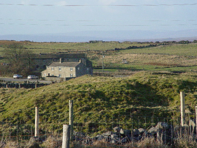
Bewerley Moor, located in the picturesque region of Yorkshire, England, is a captivating expanse of downs and moorland that offers a stunning natural beauty and a rich historical significance. Stretching over an area of approximately 3,500 acres, this expansive moorland is nestled within the Nidderdale Area of Outstanding Natural Beauty.
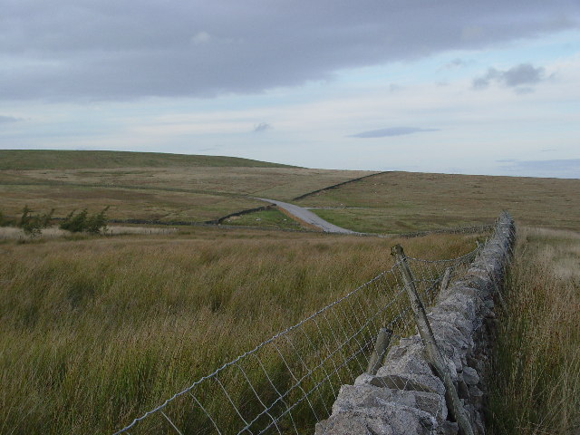
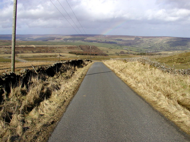
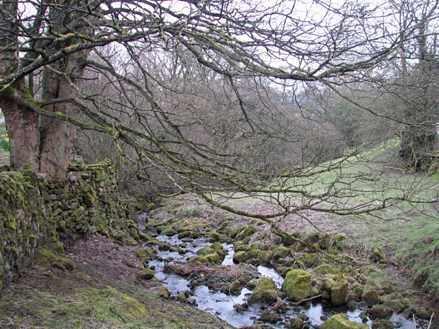
The moorland is characterized by its rolling hills, lush meadows, and heather-covered landscapes, creating a dramatic and diverse scenery that attracts visitors from near and far. The downs, with their gently sloping hills, provide panoramic views of the surrounding countryside, while the moorland is adorned with purple hues during the blooming seasons, creating a captivating sight for nature enthusiasts and photographers.
Bewerley Moor is also home to a variety of wildlife, including birds, such as curlews, lapwings, and grouse, making it a haven for birdwatchers. The moorland also supports a range of plant species, including bilberries and heathers, which thrive in the acidic soil.
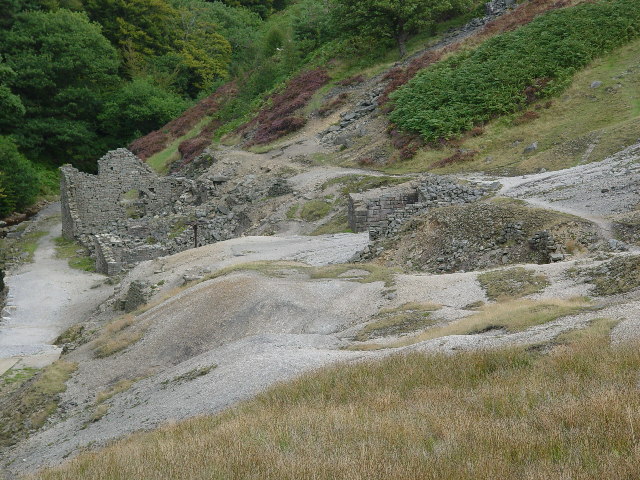
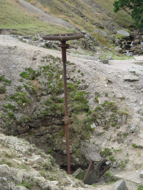
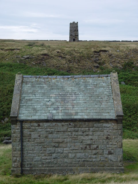
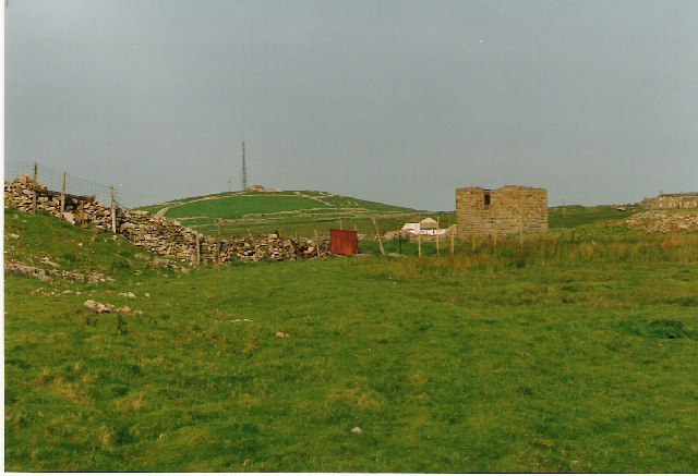
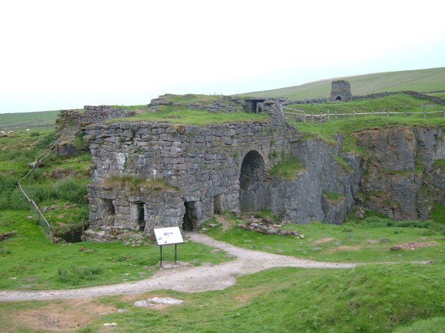
The area's history is also noteworthy, with traces of ancient settlements and remnants of mining activities scattered across the moorland. Evidence of Bronze Age burial sites and stone circles can be found, showcasing the area's rich past.
Visitors to Bewerley Moor can explore its beauty through various walking and hiking trails, including the Nidderdale Way, which passes through the moorland. The area offers a tranquil and serene escape, providing an opportunity to connect with nature and enjoy the breathtaking views that Yorkshire has to offer.
If you have any feedback on the listing, please let us know in the comments section below.
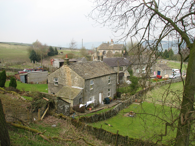
Bewerley Moor Images
Images are sourced within 2km of 54.07776/-1.8223222 or Grid Reference SE1164. Thanks to Geograph Open Source API. All images are credited.


Bewerley Moor is located at Grid Ref: SE1164 (Lat: 54.07776, Lng: -1.8223222)
Division: West Riding
Administrative County: North Yorkshire
District: Harrogate
Police Authority: North Yorkshire
What 3 Words
///unlimited.padding.remark. Near Pateley Bridge, North Yorkshire
Nearby Locations
Related Wikis

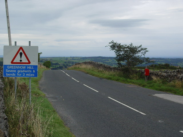
Greenhow
Greenhow is a village in North Yorkshire, England, often referred to as Greenhow Hill. The term how derives from the Old Norse word haugr meaning a hill...

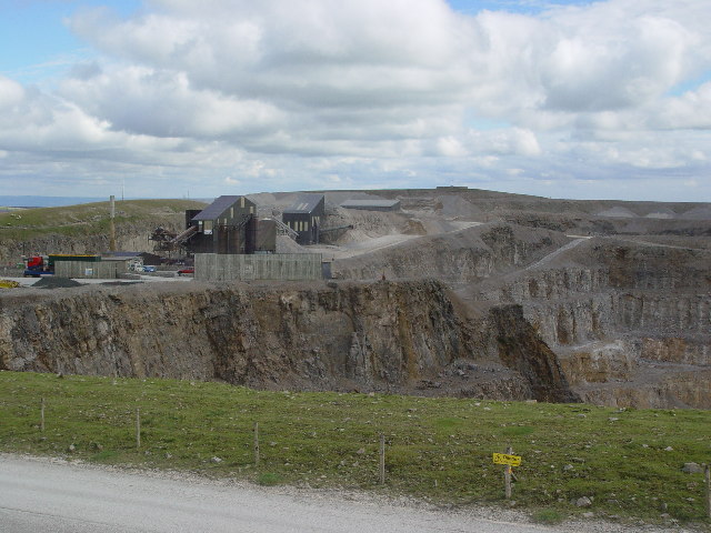
Stump Cross Caverns
Stump Cross Caverns is a limestone cave system between Wharfedale and Nidderdale in North Yorkshire, England. == Geography == The caverns at Stump Cross...
Heathfield, North Yorkshire
Heathfield is a hamlet in the civil parish of Stonebeck Down in upper Nidderdale, in North Yorkshire, England. It lies on a broad terrace on the west...
Nidderdale High School
Nidderdale High School is a coeducational secondary school located in Pateley Bridge, North Yorkshire, England. The school is named after Nidderdale, one...

Pateley Bridge
Pateley Bridge (known locally as Pateley) is a market town in Nidderdale in the county and district of North Yorkshire, England. Historically part of the...
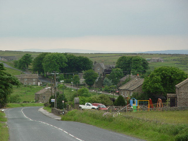
Bewerley
Bewerley is a village and civil parish in the Harrogate district of North Yorkshire, England, about twelve miles west of Ripon. The parish includes the...
Pateley Bridge railway station (Nidd Valley Light Railway)
Pateley Bridge railway station (NVLR) was a railway station serving the southern terminus of the Nidd Valley Light Railway, in Pateley Bridge, North Yorkshire...

Pateley Bridge railway station
Pateley Bridge railway station is a disused railway station in North Yorkshire, England. The station was the terminating station on the North Eastern Railway...
Nearby Amenities
Located within 500m of 54.07776,-1.8223222Have you been to Bewerley Moor?
Leave your review of Bewerley Moor below (or comments, questions and feedback).