Milk Hill
Hill, Mountain in Staffordshire Staffordshire Moorlands
England
Milk Hill
Milk Hill, located in Staffordshire, England, is a prominent hill that offers stunning panoramic views of the surrounding countryside. With an elevation of approximately 298 meters (978 feet), it is not considered a mountain but is still a notable landmark in the region. The hill is part of the larger Pennines, a range of hills and mountains that stretches across Northern England.
Milk Hill is characterized by its gentle slopes and verdant landscape, making it a popular destination for hikers and nature enthusiasts. The hill is covered in lush grassland, dotted with wildflowers and grazing sheep, creating a picturesque scene. The summit provides breathtaking views across the Staffordshire Moorlands, offering glimpses of other nearby peaks such as The Roaches and Hen Cloud.
The area surrounding Milk Hill is rich in history and has been inhabited for thousands of years. There are several archaeological sites nearby, including Bronze Age burial mounds and Iron Age hill forts, providing evidence of early human activity in the region. For those interested in historical exploration, the hill offers a chance to immerse oneself in the area's past while enjoying the natural beauty of the landscape.
Access to Milk Hill is relatively easy, with various footpaths and trails leading to the summit. Visitors can embark on leisurely walks or more challenging hikes, depending on their preferences and fitness levels. Whether seeking a peaceful escape in nature or a rewarding climb, Milk Hill is a destination that offers both natural beauty and historical intrigue.
If you have any feedback on the listing, please let us know in the comments section below.
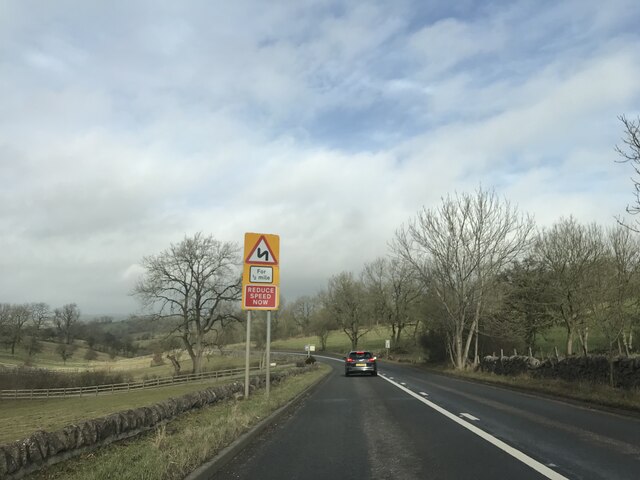
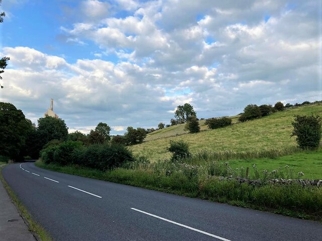
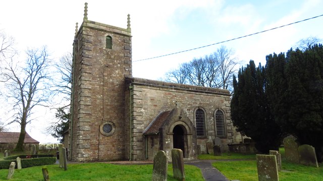
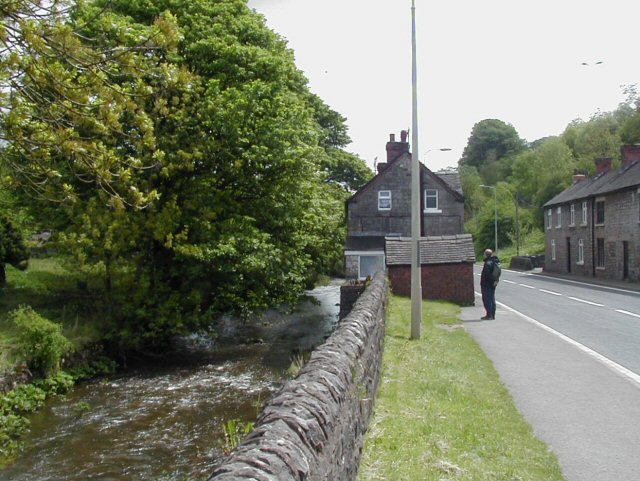
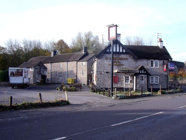
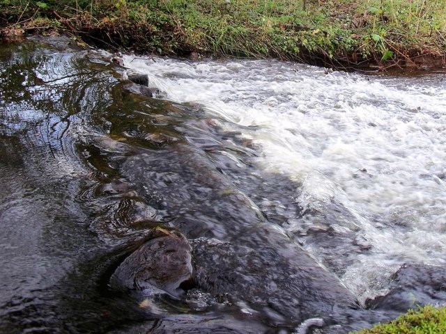
Milk Hill Images
Images are sourced within 2km of 53.043229/-1.8619926 or Grid Reference SK0949. Thanks to Geograph Open Source API. All images are credited.


Milk Hill is located at Grid Ref: SK0949 (Lat: 53.043229, Lng: -1.8619926)
Administrative County: Staffordshire
District: Staffordshire Moorlands
Police Authority: Staffordshire
What 3 Words
///tutorial.eggs.roofs. Near Mayfield, Staffordshire
Nearby Locations
Related Wikis

Leek and Manifold Valley Light Railway
The Leek and Manifold Valley Light Railway (L&MVLR) was a narrow gauge railway in Staffordshire, England that operated between 1904 and 1934. The line...
Brown End Quarry
Brown End Quarry is a nature reserve of the Staffordshire Wildlife Trust, near the village of Waterhouses in Staffordshire, England. It is designated a...
Waterhouses railway station (Staffordshire)
Waterhouses railway station was a railway station that served the village of Waterhouses, Staffordshire. It was opened jointly by the North Staffordshire...

Calton, Staffordshire
Calton is a village and a former parochial chapelry and civil parish, now in the parish of Waterhouses, in the Staffordshire Moorlands district of Staffordshire...

Waterhouses, Staffordshire
Waterhouses is a village in the south of the Staffordshire Peak District in England. It is around 8 miles from Leek and Ashbourne, being nearly the halfway...

Cauldon
Cauldon or Caldon is a village and former civil parish, 19 miles (31 km) north east of Stafford, now in the parish of Waterhouses, in the Staffordshire...
Back o'th' Brook
Back o'th' Brook is a village in Staffordshire, England. The population for the 2011 census can be found under Waterhouses
Caldon Low Halt railway station
Caldon Low Halt railway station was a railway station near the hamlet of Cauldon, Staffordshire. It was opened by the North Staffordshire Railway (NSR...
Related Videos

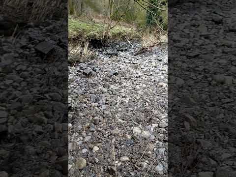
Rue Hill Autumn Kamp September 2021
This is some drone footage shot at a recent Kamping Trip with with my facebook group.
Nearby Amenities
Located within 500m of 53.043229,-1.8619926Have you been to Milk Hill?
Leave your review of Milk Hill below (or comments, questions and feedback).