Cracknut Hill

Hill, Mountain in Warwickshire Stratford-on-Avon

England

Cracknut Hill

Birmingham Road by Studley Garden Centre
Birmingham Road by Studley Garden Centre Credit: David Howard

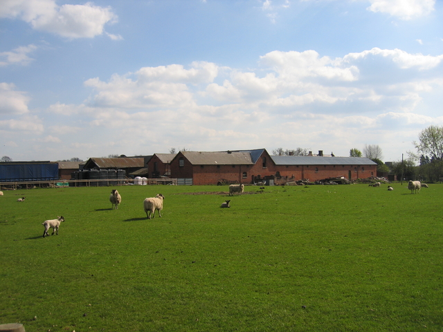
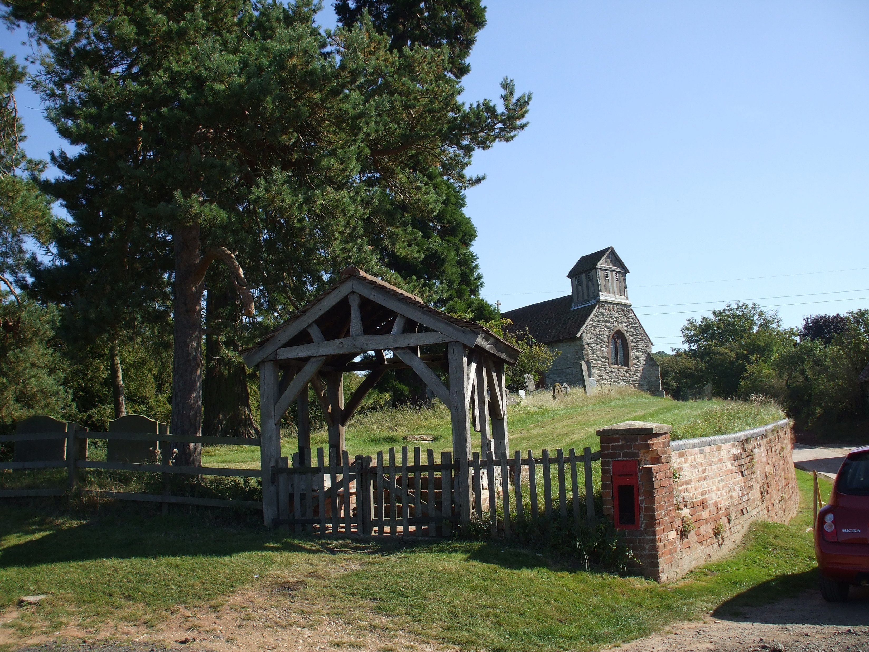
Cracknut Hill, located in Warwickshire, England, is a prominent hill that stands at an elevation of approximately 282 meters (925 feet) above sea level. Situated within the picturesque countryside, it is a popular destination for hikers, nature enthusiasts, and those seeking panoramic views of the surrounding area.

The hill derives its name from the abundance of cracknut trees that once populated its slopes. Cracknut trees, also known as wild hazelnut trees, were once widespread in Warwickshire, and their presence on the hill was notable. However, due to various factors such as deforestation and changing agricultural practices, the number of cracknut trees has significantly diminished over the years.

The hill itself is made up of a mix of grassy slopes, rocky outcrops, and patches of woodland. Its diverse terrain offers a range of walking trails suitable for all abilities, making it an ideal location for leisurely strolls or more challenging hikes. From the summit, visitors are rewarded with breathtaking views of the surrounding Warwickshire countryside, including rolling hills, meandering rivers, and quaint villages.

Cracknut Hill is also home to a variety of flora and fauna, with several species of birds, butterflies, and wildflowers thriving in its ecosystem. It is not uncommon to spot kestrels, skylarks, and other bird species while exploring the hill's trails.

Overall, Cracknut Hill in Warwickshire provides a tranquil retreat for nature lovers, offering a blend of natural beauty, recreational opportunities, and a glimpse into the region's rich ecological history.

If you have any feedback on the listing, please let us know in the comments section below.

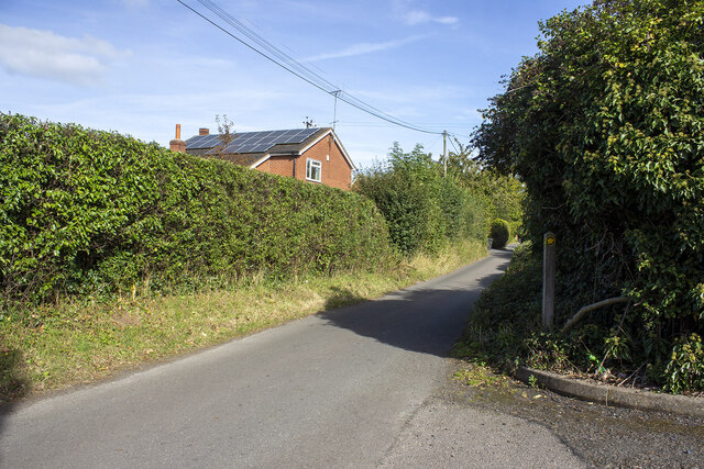
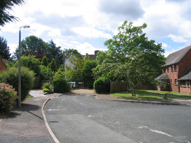
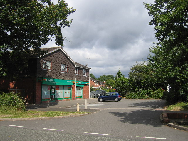
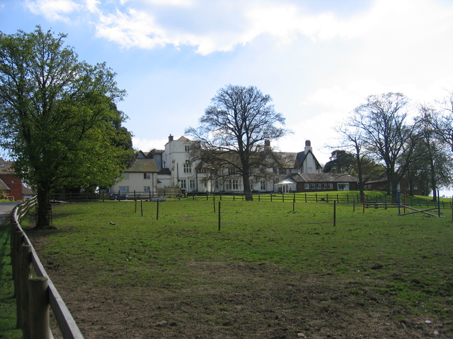
Cracknut Hill Images

Images are sourced within 2km of 52.29727/-1.8657556 or Grid Reference SP0966. Thanks to Geograph Open Source API. All images are credited.

Birmingham Road by Studley Garden Centre
Birmingham Road, Studley
Pratts Lane
Pratts Lane
Winyates Green, Redditch Although most of this square is modern housing as part of the 1970s new town development, this close near Lower House Farm still shows signs of the original farm buildings in the area.
Winyates Green, Redditch
Although most of this square is modern housing as part of the 1970s new town development, this close near Lower House Farm still shows signs of the original farm buildings in the area.
Winyates Green, Redditch Local shops in part of the new town development.
Winyates Green, Redditch
Local shops in part of the new town development.
Matchborough Local Centre A small local shopping area with a supermarket, public house, newsagent and small convenience stores
Matchborough Local Centre
A small local shopping area with a supermarket, public house, newsagent and small convenience stores
The Dog Inn, Mappleborough Green This popular Inn is located directly off the main A435 Alcester Road at its junction with the A4189 from Henley in Arden, close to Mappleborough Green.
The Dog Inn, Mappleborough Green
This popular Inn is located directly off the main A435 Alcester Road at its junction with the A4189 from Henley in Arden, close to Mappleborough Green.
Hollybush Inn, Gorcott Hill On the old Alcester Road, marked on the OS Map.
Hollybush Inn, Gorcott Hill
On the old Alcester Road, marked on the OS Map.
Gorcott Hill The old Alcester Road, now truncated to a dead end, with vehicles on the newer dual carriageway replaced visible through the hedge.
Gorcott Hill
The old Alcester Road, now truncated to a dead end, with vehicles on the newer dual carriageway replaced visible through the hedge.
The Skilts School This large house was original the home of the Jaffrey Family. It has since been extended and is now a residential school for children with special needs run by the Birmingham Local Education Authority. <span class="nowrap"><a title="http://www.skilts.bham.sch.uk/index.html" rel="nofollow ugc noopener" href="http://www.skilts.bham.sch.uk/index.html">Link</a><img style="margin-left:2px;" alt="External link" title="External link - shift click to open in new window" src="https://s1.geograph.org.uk/img/external.png" width="10" height="10"/></span>
Update Oct 2022. The school was closed in 2021 (after poor OFSTED inspections) and moved to a new site. Comments elsewhere indicate that the buildings were empty in the summer of 2022.
The Skilts School
This large house was original the home of the Jaffrey Family. It has since been extended and is now a residential school for children with special needs run by the Birmingham Local Education Authority. LinkExternal link Update Oct 2022. The school was closed in 2021 (after poor OFSTED inspections) and moved to a new site. Comments elsewhere indicate that the buildings were empty in the summer of 2022.
Hill Top The gorse and blossom in the hedgerow on the Henley in Arden Road seem to merge into the spring greenery on Hill Top beyond.
Hill Top
The gorse and blossom in the hedgerow on the Henley in Arden Road seem to merge into the spring greenery on Hill Top beyond.
Pratt's Lane, Mappleborough Green The lane forms a quiet loop of residential housing off the main Birmingham - Alcester road on the western edge of this square.
Pratt's Lane, Mappleborough Green
The lane forms a quiet loop of residential housing off the main Birmingham - Alcester road on the western edge of this square.
Clarke's Green The green and gated entrance to one of the large houses in Clarke's Green.  Opposite is Clarke's Green Farm, itself being converted to upmarket residential housing.
Clarke's Green
The green and gated entrance to one of the large houses in Clarke's Green. Opposite is Clarke's Green Farm, itself being converted to upmarket residential housing.
Castle Farm, Studley The extensive farm buildings associated with the adjacent Studley Castle.
Castle Farm, Studley
The extensive farm buildings associated with the adjacent Studley Castle.
Cottages at Hill Top Beside the Henley in Arden Road.
Cottages at Hill Top
Beside the Henley in Arden Road.
Footpath from Haye Lane The footpath from near the right angle bend in Haye Lane follows the hedge on the left towards Cranhills Wood in the distance.
Footpath from Haye Lane
The footpath from near the right angle bend in Haye Lane follows the hedge on the left towards Cranhills Wood in the distance.
Pratt's Lane, Mappleborough Green A floral and blossom display at one of the houses on this quiet loop of the main Alcester Road.
Pratt's Lane, Mappleborough Green
A floral and blossom display at one of the houses on this quiet loop of the main Alcester Road.
Cottages in Hardwick Lane Looking across the pastureland towards the cottages from the bridleway on the drive to Castle Farm.
Cottages in Hardwick Lane
Looking across the pastureland towards the cottages from the bridleway on the drive to Castle Farm.
Show me another place!

Cracknut Hill is located at Grid Ref: SP0966 (Lat: 52.29727, Lng: -1.8657556)

Administrative County: Warwickshire

District: Stratford-on-Avon

Police Authority: Warwickshire

What 3 Words

///acted.systems.grinders. Near Studley, Warwickshire

Related Wikis

Mappleborough Green

Mappleborough Green is a small village and civil parish in Warwickshire, in the non-metropolitan district of Stratford-on-Avon. The village has a population...

Gorcott Hill

Gorcott Hill is a small hamlet in the civil parish of Tanworth-in-Arden, in the Stratford-on-Avon district, in the county of Warwickshire, England. It...

RSA Academy Arrow Vale

RSA Academy Arrow Vale (formerly Arrow Vale High School) is a co-educational upper school and sixth form with academy status located in Redditch, Worcestershire...

Studley F.C.

Studley Football Club is a football club based in Studley, near Redditch, Warwickshire, England. They play in the Midland League Premier Division. �...

Studley Castle

Studley Castle is a 19th-century country house at Studley, Warwickshire, England. The Grade II* listed building is now occupied as a Warner Leisure Hotel...

Studley College

Studley Horticultural & Agricultural College for Women was a horticultural and agricultural college for women, near Studley in Warwickshire, England, which...

Morton Bagot

Morton Bagot is a small village in the Stratford-on-Avon District of Warwickshire, England. It lies about 1.5 miles (2 km) east of the Birmingham-Alcester...

Ipsley Court

Ipsley Court was a 16th-century country house, much altered in the 18th and 20th centuries, situated at Ipsley, once Warwickshire, now since 1931, Worcestershire...

Nearby Amenities

Located within 500m of 52.29727,-1.8657556
Turning Circle
Lat/Long: 52.2983386/-1.8615219
Generator Method: photovoltaic
Generator Output Electricity: yes
Generator Source: solar
Generator Type: solar_photovoltaic_panel
Location: roof
Power: generator
Lat/Long: 52.2982098/-1.8609917
Material: wood
Power: pole
Ref: 779599
Source: wpd_opendata
Transformer: distribution
Lat/Long: 52.2987954/-1.8604499
Material: wood
Power: pole
Ref: 776107
Source: wpd_opendata
Transformer: distribution
Lat/Long: 52.298364/-1.8605223
Power: pole
Source: bing
Lat/Long: 52.2975914/-1.8607128
Power: pole
Source: bing
Lat/Long: 52.297055/-1.8603426
Power: pole
Source: bing
Lat/Long: 52.2967335/-1.8600261
Power: pole
Source: bing
Lat/Long: 52.2962119/-1.8594763
Power: pole
Source: bing
Lat/Long: 52.2958297/-1.8590686
The data included in this document is from www.openstreetmap.org. The data is made available under ODbL.

Have you been to Cracknut Hill?

Leave your review of Cracknut Hill below (or comments, questions and feedback).