Pendle Hill

Hill, Mountain in Yorkshire

England

Pendle Hill

Bus stop, retaining wall and pylon, Sowood near Huddersfield
Bus stop, retaining wall and pylon, Sowood near Huddersfield Credit: Steve Fareham

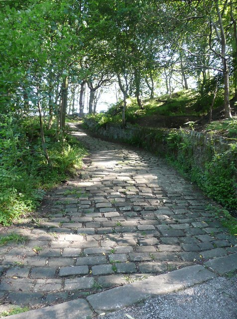
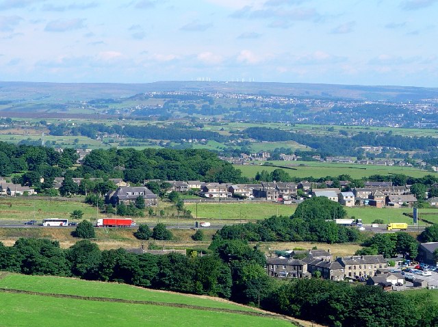
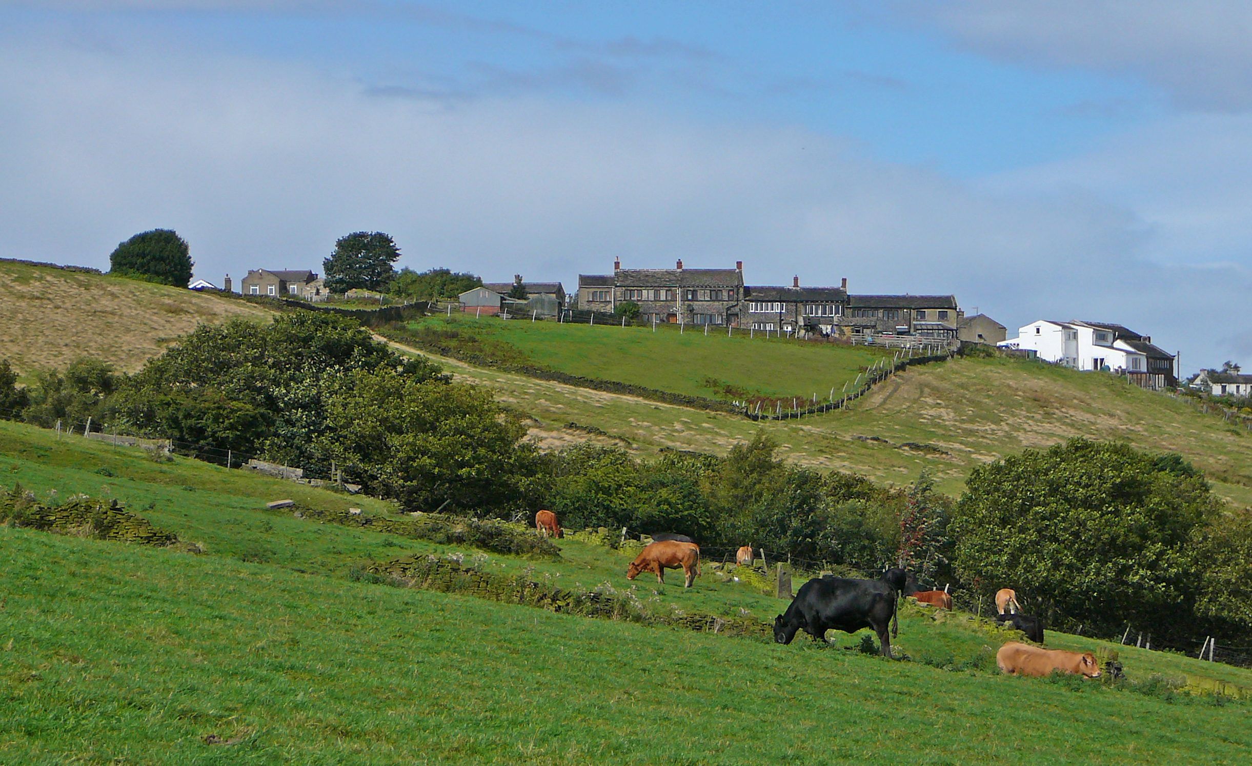
Pendle Hill is a notable landmark located in the county of Yorkshire, England. Standing proudly at a height of 557 meters (1,827 feet), it is classified as a hill rather than a mountain. It lies within the Forest of Bowland Area of Outstanding Natural Beauty, offering breathtaking panoramic views of the surrounding countryside.

The hill is renowned for its historical and cultural significance. It gained notoriety in the 17th century due to the infamous Pendle Witch Trials, during which several individuals were accused and executed for witchcraft. Today, visitors can explore the trails that wind their way up the hill, following in the footsteps of those who faced such tragic fates.

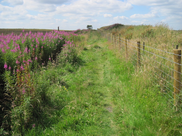
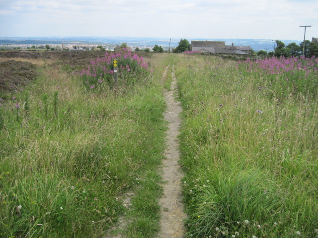
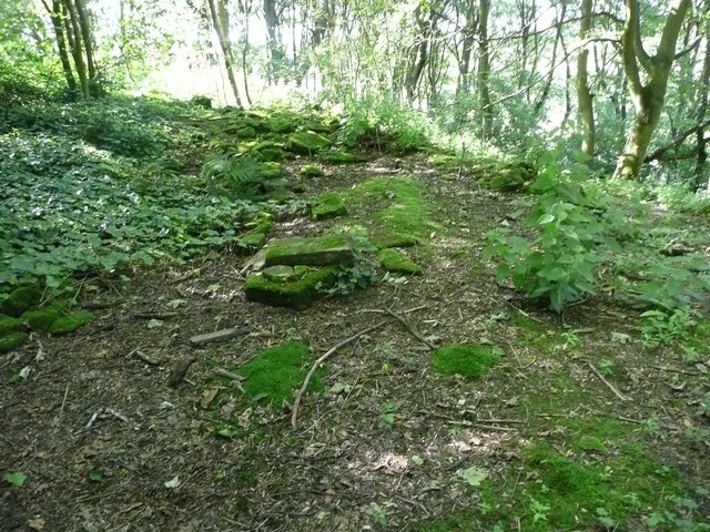
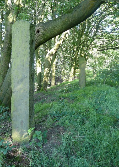
Pendle Hill is a popular destination for hikers and nature enthusiasts alike. Its diverse landscape features rugged moorland, steep slopes, and ancient woodlands, providing a habitat for a wide range of flora and fauna. The area is home to various bird species, including the elusive hen harrier and the iconic red grouse.

At the summit, visitors are rewarded with stunning vistas across the Lancashire countryside, as well as the opportunity to see as far as the coast on clear days. The hill also boasts an impressive monument known as the Pendle Monument, erected in 1851 to commemorate the 300th anniversary of the Pendle Witch Trials.

Overall, Pendle Hill offers a unique blend of natural beauty, historical intrigue, and recreational opportunities, making it a must-visit destination for those seeking a glimpse into Yorkshire's rich heritage and picturesque landscapes.

If you have any feedback on the listing, please let us know in the comments section below.
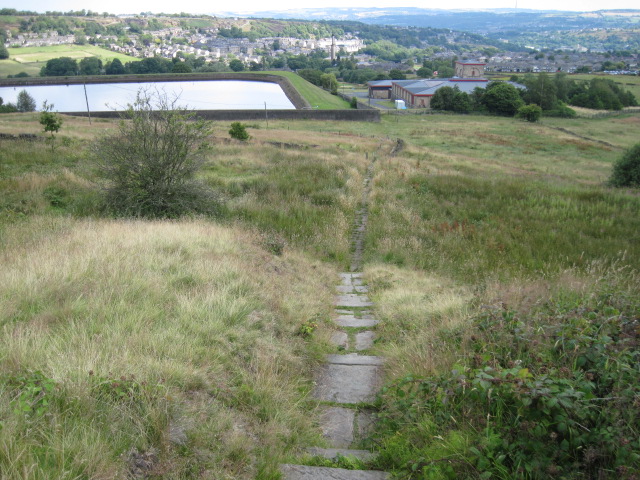
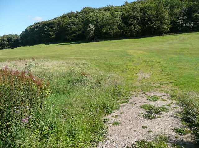
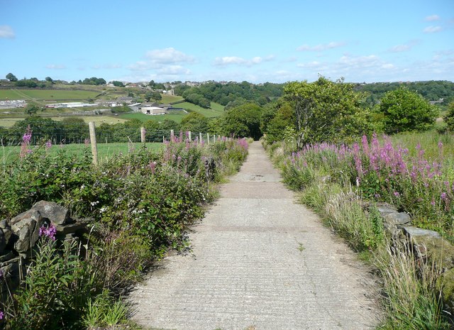
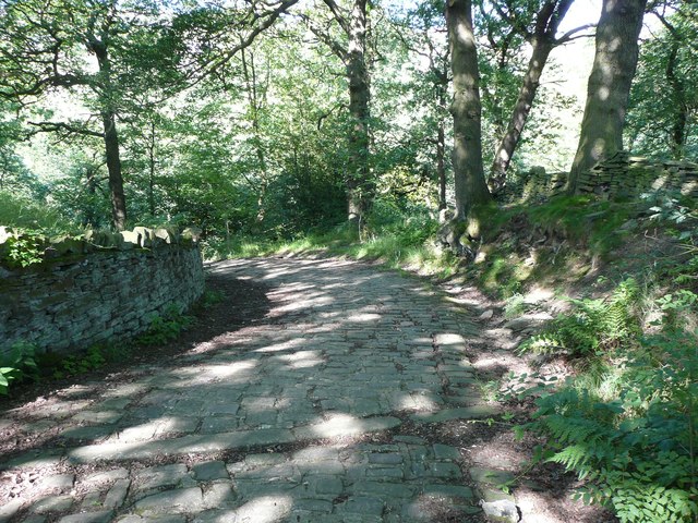
Pendle Hill Images

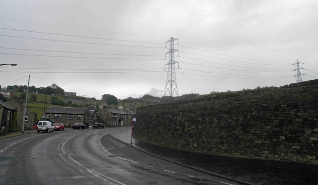
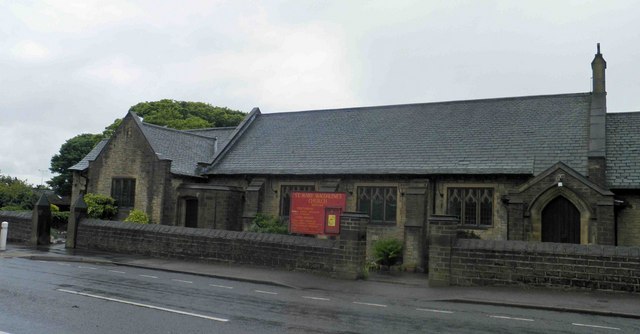
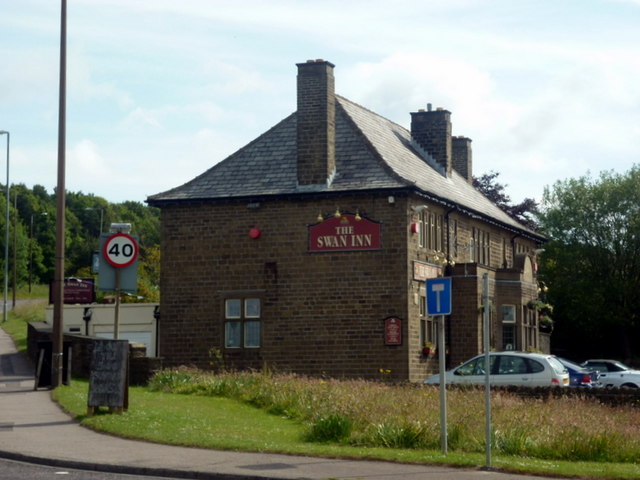
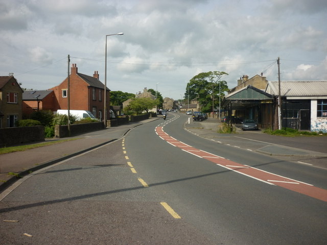
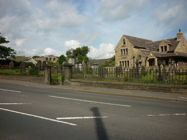
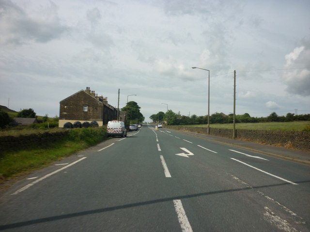
Images are sourced within 2km of 53.652767/-1.861557 or Grid Reference SE0917. Thanks to Geograph Open Source API. All images are credited.

Bus stop, retaining wall and pylon, Sowood near Huddersfield
St. Mary Magdalene's church, Outlane
The 643, Lindley Moor Road
The A640, New Hey Road, goes over the M62
The Swan Inn on New Hey Road, Outlane
New Hey Road, Outlane
A graveyard on New Hey Road, Outlane
New Hey Road leading west from Outlane
Footpath on Wholestone Hill
Footpath toward Scapegoat Hill School
Footpath to Longwood Reservoir
Path across the golf course, Longwood This path leads to Nettleton Hill via the site of Petty Royd, with a branch up through Pighill Wood.
Path across the golf course, Longwood
This path leads to Nettleton Hill via the site of Petty Royd, with a branch up through Pighill Wood.
Shaw Lane, Longwood An old lane, shown on the 1850 six-inch map, now with a modern concrete surface.
Shaw Lane, Longwood
An old lane, shown on the 1850 six-inch map, now with a modern concrete surface.
Shaw Lane, Longwood The bend at the top of the climb up through Hirst Wood.
Shaw Lane, Longwood
The bend at the top of the climb up through Hirst Wood.
Shaw Lane, Longwood The climb up through Hirst Wood. Paving this lane with setts must have been expensive; was it paid for by the owner of Shaw, or by the township?
Shaw Lane, Longwood
The climb up through Hirst Wood. Paving this lane with setts must have been expensive; was it paid for by the owner of Shaw, or by the township?
Site of Petty Royd, Longwood From the name I assume that this was a farmstead made by clearing woodland in the medieval or early modern period. There is very little of the buildings left now.
Site of Petty Royd, Longwood
From the name I assume that this was a farmstead made by clearing woodland in the medieval or early modern period. There is very little of the buildings left now.
Stone posts at Petty Royd, Longwood It seems likely that these are tenter posts, but not the usual type. The cloth pieces were stretched between the post and a hook on the wall of a weaver's cottage. (information from Ian Beesley via Chris Allen)
Stone posts at Petty Royd, Longwood
It seems likely that these are tenter posts, but not the usual type. The cloth pieces were stretched between the post and a hook on the wall of a weaver's cottage. (information from Ian Beesley via Chris Allen)
Footpath east of Petty Royd, Longwood Eventually this path splits, with one way down to Leys and one along the top side of Longwood Reservoir.
Footpath east of Petty Royd, Longwood
Eventually this path splits, with one way down to Leys and one along the top side of Longwood Reservoir.
Show me another place!

Pendle Hill is located at Grid Ref: SE0917 (Lat: 53.652767, Lng: -1.861557)

Division: West Riding

Unitary Authority: Kirklees

Police Authority: West Yorkshire

What 3 Words

///hungry.whites.quit. Near Holywell Green, West Yorkshire

Related Wikis

Nettleton Hill

Nettleton Hill is a hamlet in the Kirklees district in the English county of West Yorkshire. It is situated west of the town of Huddersfield, north of...

Slack Roman Fort

Slack Roman Fort was a castellum near Outlane, to the west of Huddersfield in West Yorkshire, England. Its site is a scheduled monument. The ruins of the...

Outlane

Outlane is a village in Kirklees, West Yorkshire, England, situated approximately 2.5 miles (4 km) south-west of Elland, 3.7 miles (6 km) north-west of...

Scapegoat Hill

Scapegoat Hill is a small village 5 miles (8 km) west of Huddersfield, West Yorkshire, England. It is near to the villages of Slaithwaite and Golcar. The...

Nearby Amenities

Located within 500m of 53.652767,-1.861557
Turning Circle
Lat/Long: 53.6488205/-1.8626438
Nettleton Hill
Created By: Potlatch 0.10f
Is In: West Yorkshire
Note: Blast from the past up here...
Place: hamlet
Lat/Long: 53.648736/-1.8624121
Barrier: block
Bicycle: yes
Foot: yes
Horse: yes
Motor Vehicle: no
Lat/Long: 53.654573/-1.8622588
Barrier: stile
Bicycle: no
Foot: designated
Horse: no
Material: stone
Motor Vehicle: no
Stile: stepover
Lat/Long: 53.6518809/-1.8578227
Barrier: stile
Bicycle: no
Foot: designated
Horse: no
Material: stone
Motor Vehicle: no
Stile: stepover
Lat/Long: 53.6526335/-1.8571839
Barrier: stile
Bicycle: no
Foot: designated
Horse: no
Material: wood
Motor Vehicle: no
Stile: stepover
Lat/Long: 53.6545215/-1.8670365
Barrier: stile
Bicycle: no
Foot: designated
Horse: no
Material: stone
Motor Vehicle: no
Stile: stepover
Lat/Long: 53.6514008/-1.8631333
Barrier: stile
Bicycle: no
Foot: designated
Horse: no
Material: wood
Motor Vehicle: no
Stile: fence
Lat/Long: 53.651637/-1.856529
Barrier: stile
Foot: designated
Material: stone
Motor Vehicle: private
Stile: stepover
Lat/Long: 53.6503807/-1.8597638
Barrier: stile
Bicycle: no
Foot: designated
Horse: no
Motor Vehicle: no
Stile: stepover
Lat/Long: 53.6542322/-1.8556063
Barrier: stile
Bicycle: no
Foot: designated
Horse: no
Motor Vehicle: no
Stile: squeezer
Lat/Long: 53.6539206/-1.8644116
Barrier: stile
Bicycle: no
Horse: no
Material: stone
Motor Vehicle: no
Stile: stepover
Lat/Long: 53.6533111/-1.863456
Barrier: stile
Bicycle: no
Foot: designated
Horse: no
Material: wood
Motor Vehicle: no
Stile: stepover
Lat/Long: 53.648507/-1.8604142
Barrier: stile
Bicycle: no
Foot: permissive
Horse: no
Motor Vehicle: no
Stile: stepover
Lat/Long: 53.6527343/-1.8652694
Barrier: stile
Bicycle: no
Foot: designated
Horse: no
Material: wood
Motor Vehicle: no
Stile: stepover
Lat/Long: 53.6535023/-1.8659777
Barrier: block
Bicycle: yes
Foot: yes
Horse: yes
Motor Vehicle: no
Lat/Long: 53.6555759/-1.8595939
Barrier: stile
Bicycle: no
Foot: designated
Horse: no
Material: stone
Motor Vehicle: no
Stile: stepover
Lat/Long: 53.6537115/-1.8560817
Barrier: stile
Bicycle: no
Foot: designated
Horse: no
Material: stone
Motor Vehicle: no
Stile: stepover
Lat/Long: 53.6511225/-1.8619406
Barrier: stile
Bicycle: no
Foot: designated
Horse: no
Motor Vehicle: no
Lat/Long: 53.6559567/-1.8643551
Barrier: stile
Bicycle: no
Description: not much of a squeeze
Foot: designated
Horse: no
Material: wood
Motor Vehicle: no
Stile: squeezer
Lat/Long: 53.6523154/-1.8682726
Barrier: stile
Bicycle: no
Description: remnants of
Foot: designated
Horse: no
Motor Vehicle: no
Lat/Long: 53.6515033/-1.8654787
Barrier: stile
Bicycle: no
Foot: designated
Horse: no
Material: stone
Motor Vehicle: no
Stile: stepover
Lat/Long: 53.6511451/-1.8638559
Barrier: stile
Bicycle: no
Foot: designated
Horse: no
Material: stone
Motor Vehicle: no
Stile: squeezer
Lat/Long: 53.6504819/-1.8609969
Generator Method: wind_turbine
Generator Output Electricity: 11 kW
Generator Source: wind
Power: generator
Lat/Long: 53.6509336/-1.8622928
Barrier: block
Bicycle: yes
Foot: yes
Horse: yes
Motor Vehicle: no
Lat/Long: 53.6564335/-1.8585922
The data included in this document is from www.openstreetmap.org. The data is made available under ODbL.

Have you been to Pendle Hill?

Leave your review of Pendle Hill below (or comments, questions and feedback).