Hern Stones
Hill, Mountain in Derbyshire High Peak
England
Hern Stones
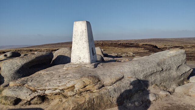
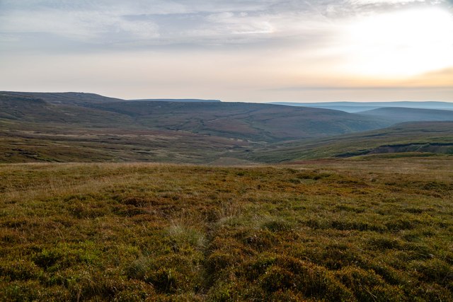
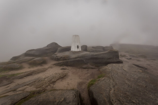
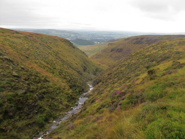
Hern Stones, located in Derbyshire, England, is a prominent hill formation that has become a popular attraction for outdoor enthusiasts and nature lovers. Rising to a height of approximately 1,200 feet, it offers breathtaking panoramic views of the surrounding countryside and is often referred to as a mountain due to its imposing stature.
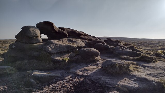
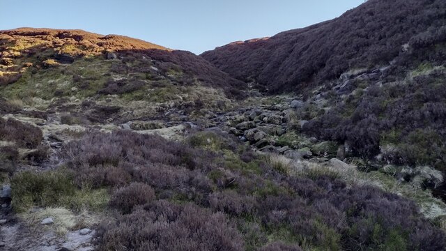
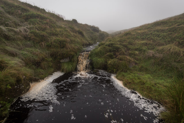
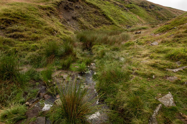
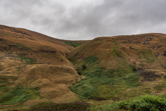
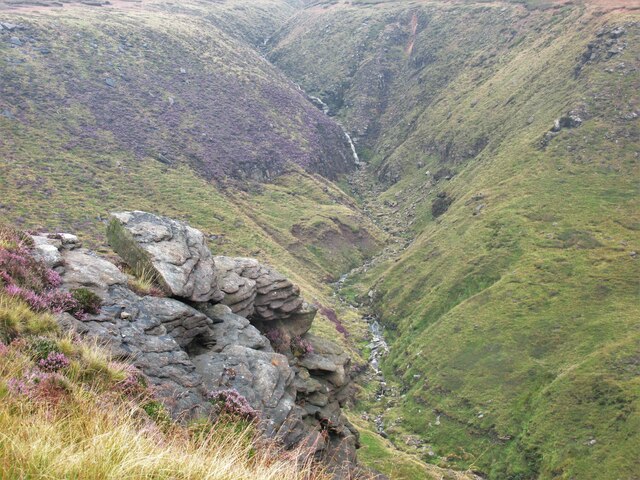
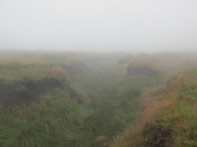
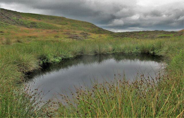
The hill is composed primarily of gritstone, giving it a distinctive rugged appearance. Its slopes are covered in heather and grasses, providing a habitat for various species of wildlife, including birds, insects, and small mammals. The rocky outcrops and crags that dot the landscape add to its dramatic appeal.
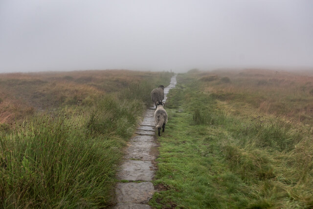
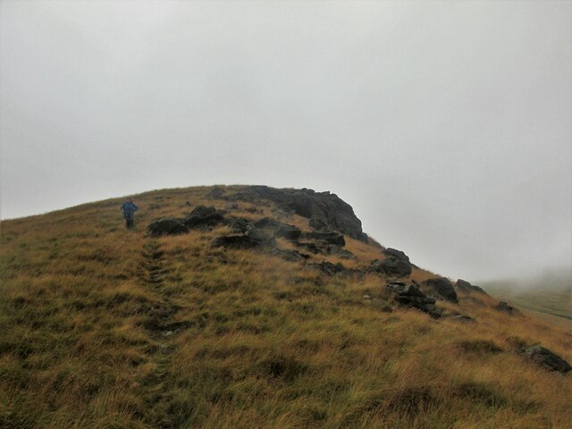
Hern Stones is a favorite destination for hikers and climbers. The hill offers a range of walking paths and trails that cater to different fitness levels, making it accessible to both beginners and experienced adventurers. The summit can be reached via several routes, each offering different challenges and rewards.
At the top of Hern Stones, visitors are rewarded with breathtaking views of the surrounding Peak District National Park, with its rolling hills, valleys, and picturesque villages. On a clear day, it is even possible to see as far as the city of Manchester.
Aside from its natural beauty, Hern Stones also holds historical significance. The hill has been a site of human activity for centuries, with evidence of Neolithic and Bronze Age settlements in the area. It is believed that these ancient communities were drawn to the hill due to its strategic location and natural resources.
In conclusion, Hern Stones in Derbyshire is a captivating hill/mountain formation that offers stunning vistas, diverse wildlife, and a rich history. Its accessibility and range of activities make it a must-visit destination for anyone seeking to explore the beauty of the British countryside.
If you have any feedback on the listing, please let us know in the comments section below.
Hern Stones Images
Images are sourced within 2km of 53.454836/-1.862607 or Grid Reference SK0995. Thanks to Geograph Open Source API. All images are credited.


Hern Stones is located at Grid Ref: SK0995 (Lat: 53.454836, Lng: -1.862607)
Administrative County: Derbyshire
District: High Peak
Police Authority: Derbyshire
What 3 Words
///submerge.prowling.outdoor. Near Glossop, Derbyshire
Nearby Locations
Related Wikis

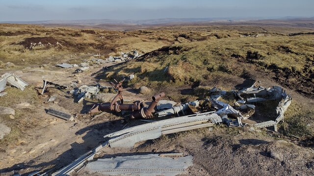
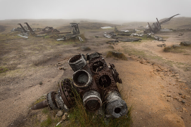
Bleaklow Bomber
The Bleaklow Bomber was a US Air Force (USAF) Boeing RB-29A Superfortress that crashed near Higher Shelf Stones on Bleaklow in the Peak District in 1948...

Bleaklow
Bleaklow is a high, largely peat-covered, gritstone moorland in the Derbyshire High Peak near the town of Glossop. It is north of Kinder Scout, across...

Snake Pass
Snake Pass is a hill pass in the Derbyshire section of the Peak District, crossing the Pennines between Glossop and the Ladybower Reservoir at Ashopton...

Featherbed Top
Featherbed Top is an open, flat-topped hill, 544 metres (1,785 ft) high, in the Peak District in the county of Derbyshire in England. == Description... ==

Mossy Lea Reservoir
Mossy Lea Reservoir is a disused reservoir near Glossop, north Derbyshire. In 1837, 50 local millowners and gentlemen, known as the "Glossop Commissioners...

Hurst Reservoir
Hurst Reservoir is a former, now disused, reservoir near Glossop, north Derbyshire. == History == In 1837, 50 local millowners and gentlemen, known as...

Torside Reservoir
Torside Reservoir is the largest man-made lake in Longdendale in north Derbyshire, England. It was constructed by John Frederick Bateman between April...

Crowden railway station
Crowden railway station is a closed railway station on the Woodhead Line between Manchester and Sheffield, that served the hamlet of Crowden, Derbyshire...
Nearby Amenities
Located within 500m of 53.454836,-1.862607Have you been to Hern Stones?
Leave your review of Hern Stones below (or comments, questions and feedback).