Ossoms Hill

Hill, Mountain in Staffordshire Staffordshire Moorlands

England

Ossoms Hill

Brookside Stables
Brookside Stables Credit: Alex McGregor

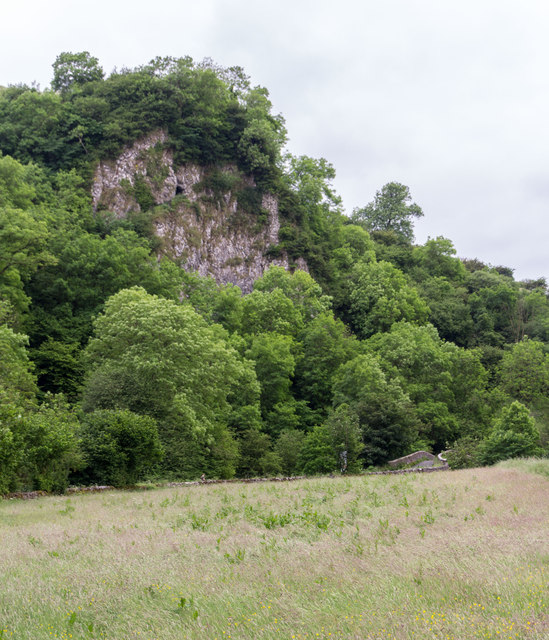
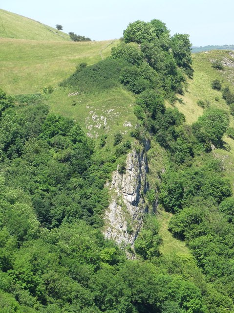
Ossoms Hill is a prominent geographical feature located in Staffordshire, England. This hill, also known as Ossoms Hill, rises to an elevation of approximately 561 feet (171 meters) above sea level. It is situated near the market town of Leek, within the Staffordshire Moorlands district.

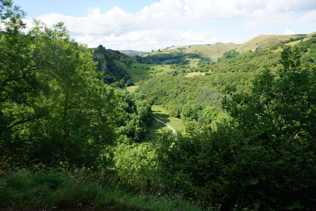
Ossoms Hill is part of the Pennines, a range of hills and mountains stretching across northern England. The hill is primarily composed of gritstone, a type of sedimentary rock commonly found in this region. The surrounding landscape is characterized by rolling hills, lush green fields, and scattered woodlands.

The summit of Ossoms Hill offers panoramic views of the surrounding countryside, making it a popular destination for hikers, nature enthusiasts, and photographers. On a clear day, visitors can enjoy breathtaking vistas of the Staffordshire Moorlands, the nearby Peak District National Park, and even parts of Cheshire.

Despite its relatively modest height, Ossoms Hill holds cultural and historical significance. It is believed to have been a site of ancient settlements, evidenced by the presence of archaeological remains such as Bronze Age burial mounds and Iron Age hillforts in the vicinity.

The area around Ossoms Hill is also renowned for its diverse flora and fauna. The hillside is cloaked in heather, bracken, and various species of wildflowers, providing habitats for a range of wildlife including birds, small mammals, and insects.

In summary, Ossoms Hill in Staffordshire offers a beautiful natural landscape, rich history, and ample opportunities for outdoor activities, making it a fascinating destination for explorers and nature lovers.

If you have any feedback on the listing, please let us know in the comments section below.
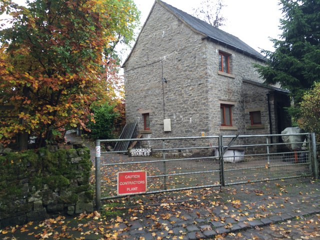
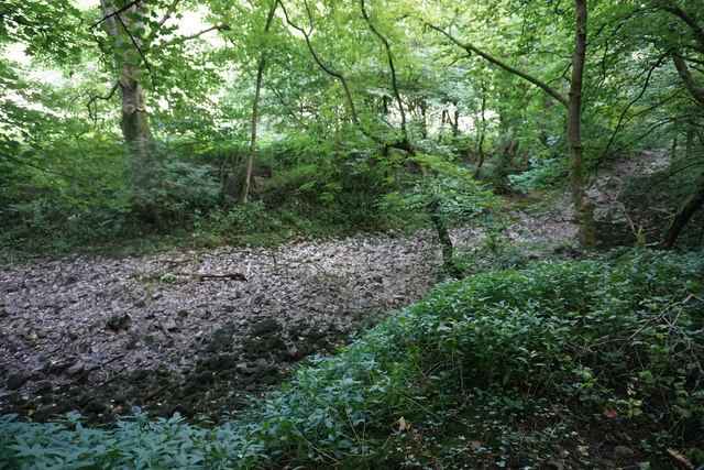
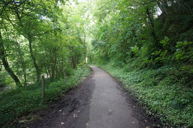
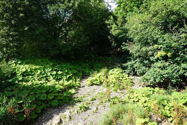
Ossoms Hill Images

Images are sourced within 2km of 53.095431/-1.8640212 or Grid Reference SK0955. Thanks to Geograph Open Source API. All images are credited.

Brookside Stables
Brookside Stables
The bed of the River Manifold The river has run completely dry, probably flowing through limestone underground somewhere.
The bed of the River Manifold
The river has run completely dry, probably flowing through limestone underground somewhere.
The Manifold Way A surfaced cycle track along the Manifold Valley, but with little view because of the foliage.
The Manifold Way
A surfaced cycle track along the Manifold Valley, but with little view because of the foliage.
The Manifold Valley Wooded in the bottom, with limestone outcrops above. The foliage ensures that for most of the time, there is not much view of the outcrops.
The Manifold Valley
Wooded in the bottom, with limestone outcrops above. The foliage ensures that for most of the time, there is not much view of the outcrops.
National Trust land below Ossoms Hill The western side of the Manifold Valley, where a path leads towards Grindon.
National Trust land below Ossoms Hill
The western side of the Manifold Valley, where a path leads towards Grindon.
The bed of the River Manifold The river is completely dry.
The bed of the River Manifold
The river is completely dry.
Thor's Cave Situated high above the Manifold Valley.
Thor's Cave
Situated high above the Manifold Valley.
The Manifold Valley The view from Thor's Cave.
The Manifold Valley
The view from Thor's Cave.
Thor's Cave Barn near Thor's Cave.
Thor's Cave
Barn near Thor's Cave.
Larkstone Lane Larkstone Lane (left) at Weag's Bridge.
Larkstone Lane
Larkstone Lane (left) at Weag's Bridge.
Ratcliffe Thor's Cave at Ratcliffe.
Ratcliffe
Thor's Cave at Ratcliffe.
Ossoms Crag Ossoms Crag above Dafar Bridge.
Ossoms Crag
Ossoms Crag above Dafar Bridge.
Thor's Cave High above the River Manifold. Visited by human beings from the earliest times but still access up into the cave is tricky, especially when the smooth rocky entrance is wet.
Thor's Cave
High above the River Manifold. Visited by human beings from the earliest times but still access up into the cave is tricky, especially when the smooth rocky entrance is wet.
The interior of Thor's Cave Like looking into the throat of some great whale. This cave has been visited by human beings since the earliest times of our history.
The interior of Thor's Cave
Like looking into the throat of some great whale. This cave has been visited by human beings since the earliest times of our history.
Footbridge over The River Manifold Below Thor's Cave
Footbridge over The River Manifold
Below Thor's Cave
A view of Ossom's Crag Viewed from the path that leads from Wetton to Thor's Cave on the opposite side of The Manifold Valley.
A view of Ossom's Crag
Viewed from the path that leads from Wetton to Thor's Cave on the opposite side of The Manifold Valley.
The Manifold Way east of Grindon The Manifold Way follows the exact course of the old Leek and Manifold railway.
The Manifold Way east of Grindon
The Manifold Way follows the exact course of the old Leek and Manifold railway.
Dilapidated field barn above The Manifold Valley
Show me another place!

Ossoms Hill is located at Grid Ref: SK0955 (Lat: 53.095431, Lng: -1.8640212)

Administrative County: Staffordshire

District: Staffordshire Moorlands

Police Authority: Staffordshire

What 3 Words

///wage.argued.couriers. Near Newhaven, Derbyshire

Nearby Locations

Ossoms Hill

Related Wikis

Thor's Cave railway station

Thor's Cave railway station was a station on the Leek and Manifold Light Railway. Serving the landmark Thor's Cave in Grindon and Wetton. The station site...

Redhurst Crossing railway station

Redhurst Crossing railway station was a minor station on the Leek and Manifold Light Railway, located between Wetton Mill railway station, Staffordshire...
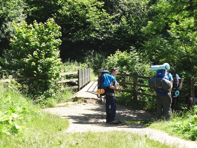
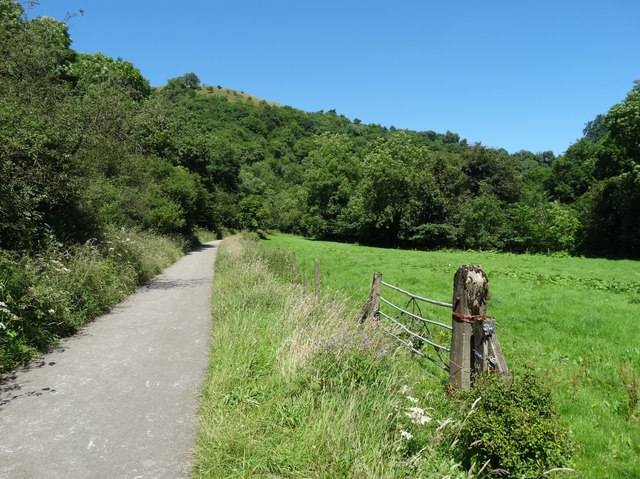
Manifold Way

The Manifold Way is a footpath and cycle way in Staffordshire, England. Some 8 miles (13 km) in length, it runs from Hulme End (53.1307°N 1.8480°W / 53...
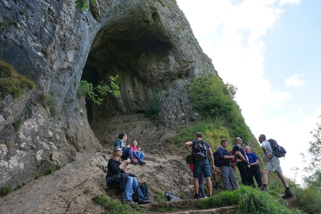
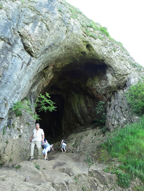
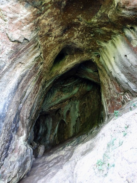
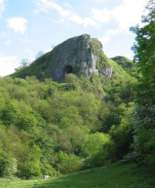
Thor's Cave

Thor's Cave (also known as Thor's House Cavern and Thyrsis's Cave) is a natural cavern located at SK09865496 in the Manifold Valley of the White Peak in...

Nearby Amenities

Located within 500m of 53.095431,-1.8640212
Barrier: stile
Ele: 280.3480225
Lat/Long: 53.0936796/-1.8707142
Barrier: stile
Material: stone
Source: survey;gps
Stile: squeezer
Lat/Long: 53.0967652/-1.8681273
Barrier: stile
Material: stone
Source: survey;gps
Stile: squeezer
Lat/Long: 53.0981298/-1.8671228
Barrier: stile
Material: stone
Source: survey;gps
Stile: squeezer
Lat/Long: 53.095051/-1.86856
Barrier: stile
Lat/Long: 53.0996715/-1.8664584
Barrier: stile
Lat/Long: 53.0962118/-1.8569835
Barrier: stile
Lat/Long: 53.0929272/-1.8584326
Barrier: stile
Source: survey;gps
Lat/Long: 53.0946687/-1.8681723
Barrier: stile
Source: survey;gps
Lat/Long: 53.0935717/-1.8689655
Barrier: stile
Lat/Long: 53.0912767/-1.8662471
Access: no
Barrier: stile
Foot: yes
Material: wood
Steps: 2
Stile: stepover
Lat/Long: 53.0915297/-1.8666292
Ossoms Hill
Ele: 334
Natural: peak
Lat/Long: 53.0953105/-1.862818
The data included in this document is from www.openstreetmap.org. The data is made available under ODbL.

Have you been to Ossoms Hill?

Leave your review of Ossoms Hill below (or comments, questions and feedback).