Hutler Hill
Hill, Mountain in Yorkshire
England
Hutler Hill
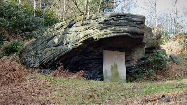
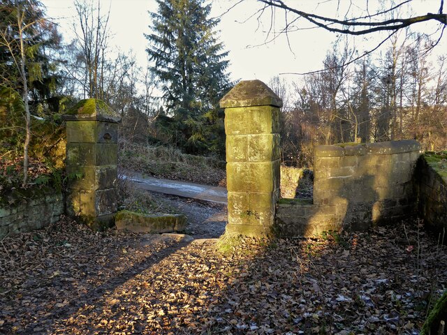
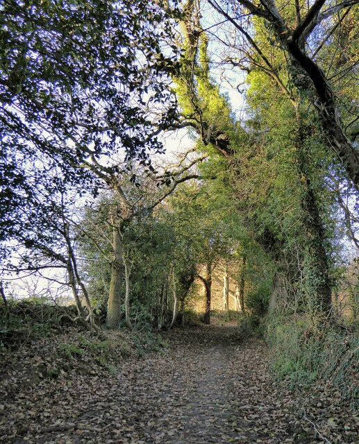
Hutler Hill, located in Yorkshire, England, is a prominent hill that forms part of the stunning landscape of the region. Situated in the southern part of the North York Moors National Park, Hutler Hill offers breathtaking panoramic views of the surrounding countryside.
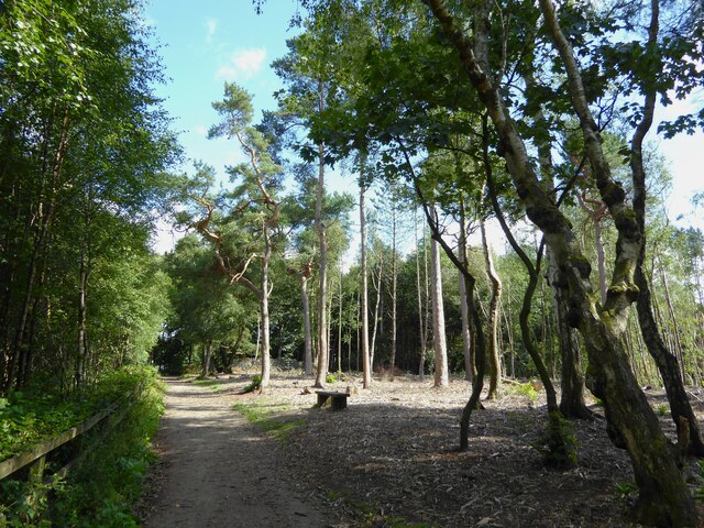
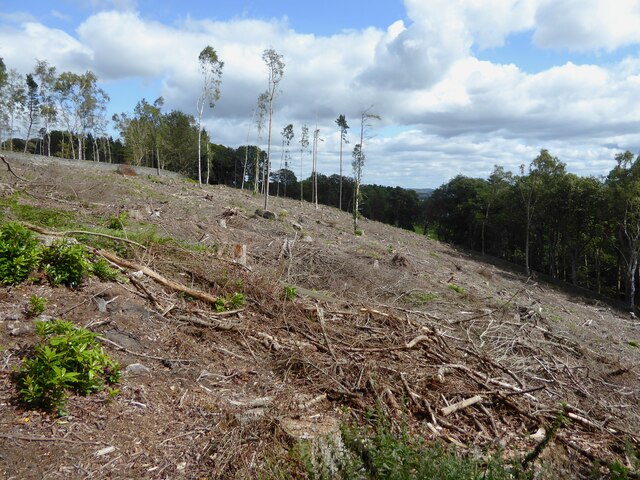
Rising to an elevation of approximately 400 meters (1,312 feet), Hutler Hill is known for its distinctive shape and steep slopes. Covered in a patchwork of heather, grasses, and shrubs, the hill provides a haven for a diverse range of flora and fauna.
The hill's unique geological composition is a result of its formation during the last Ice Age, when glaciers carved out the landscape, leaving behind deep valleys and rounded structures. Hutler Hill's rocky outcrops and exposed sandstone add to its scenic appeal.
Hutler Hill is a popular destination for hikers and nature enthusiasts, offering a variety of walking trails that cater to different skill levels. The ascent to the summit rewards visitors with stunning views of the North York Moors, the Vale of Pickering, and the distant Yorkshire coastline.
Due to its remote location, Hutler Hill provides a tranquil and peaceful environment, offering a break from the bustling city life. It also serves as a habitat for several wildlife species, including birds of prey, such as kestrels and buzzards, and various small mammals.
Overall, Hutler Hill in Yorkshire is a captivating natural landmark, attracting visitors with its rugged beauty, diverse ecosystems, and magnificent vistas.
If you have any feedback on the listing, please let us know in the comments section below.
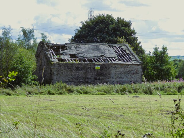
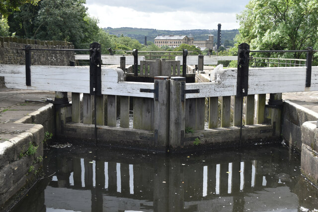
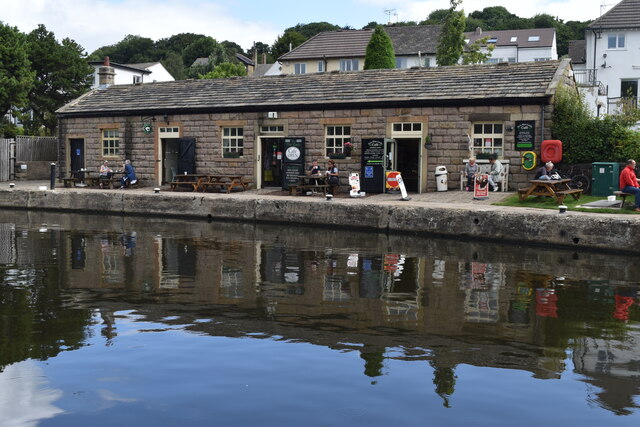
Hutler Hill Images
Images are sourced within 2km of 53.861226/-1.8615857 or Grid Reference SE0940. Thanks to Geograph Open Source API. All images are credited.

![East Riddlesden Hall and grounds [1] The south front of the hall.
Built on the site of an earlier building, the hall was erected in the 1640s and added to in 1692. Constructed of ashlar under stone slate roofs, the hall has two two-storey porches with wheel (or Yorkshire rose) windows. Many original internal features and fittings remain. Listed, grade I, with details at:
<span class="nowrap"><a title="https://historicengland.org.uk/listing/the-list/list-entry/1283478" rel="nofollow ugc noopener" href="https://historicengland.org.uk/listing/the-list/list-entry/1283478">Link</a><img style="margin-left:2px;" alt="External link" title="External link - shift click to open in new window" src="https://s1.geograph.org.uk/img/external.png" width="10" height="10"/></span>
East Riddlesden Hall is sited on the banks of the River Aire, in Riddlesden, about 1¼ miles northeast of Keighley. Once the centre of a thriving agricultural estate, the grounds of the hall include a tithe barn. Saved from demolition by two local men in 1934, the house and grounds are now in the care of the National Trust.](https://s3.geograph.org.uk/geophotos/07/02/14/7021447_f9e03490.jpg)
![East Riddlesden Hall and grounds [2] The entrance porch in the south front.
Built on the site of an earlier building, the hall was erected in the 1640s and added to in 1692. Constructed of ashlar under stone slate roofs, the hall has two two-storey porches with wheel (or Yorkshire rose) windows. Many original internal features and fittings remain. Listed, grade I, with details at:
<span class="nowrap"><a title="https://historicengland.org.uk/listing/the-list/list-entry/1283478" rel="nofollow ugc noopener" href="https://historicengland.org.uk/listing/the-list/list-entry/1283478">Link</a><img style="margin-left:2px;" alt="External link" title="External link - shift click to open in new window" src="https://s1.geograph.org.uk/img/external.png" width="10" height="10"/></span>
East Riddlesden Hall is sited on the banks of the River Aire, in Riddlesden, about 1¼ miles northeast of Keighley. Once the centre of a thriving agricultural estate, the grounds of the hall include a tithe barn. Saved from demolition by two local men in 1934, the house and grounds are now in the care of the National Trust.](https://s3.geograph.org.uk/geophotos/07/02/14/7021451_f4beef7d.jpg)
![East Riddlesden Hall and grounds [3] The north front of the hall.
Built on the site of an earlier building, the hall was erected in the 1640s and added to in 1692. Constructed of ashlar under stone slate roofs, the hall has two two-storey porches with wheel (or Yorkshire rose) windows. Many original internal features and fittings remain. Listed, grade I, with details at:
<span class="nowrap"><a title="https://historicengland.org.uk/listing/the-list/list-entry/1283478" rel="nofollow ugc noopener" href="https://historicengland.org.uk/listing/the-list/list-entry/1283478">Link</a><img style="margin-left:2px;" alt="External link" title="External link - shift click to open in new window" src="https://s1.geograph.org.uk/img/external.png" width="10" height="10"/></span>
East Riddlesden Hall is sited on the banks of the River Aire, in Riddlesden, about 1¼ miles northeast of Keighley. Once the centre of a thriving agricultural estate, the grounds of the hall include a tithe barn. Saved from demolition by two local men in 1934, the house and grounds are now in the care of the National Trust.](https://s2.geograph.org.uk/geophotos/07/02/14/7021454_c4022af1.jpg)
![East Riddlesden Hall and grounds [4] The south front of the hall.
Built on the site of an earlier building, the hall was erected in the 1640s and added to in 1692. Constructed of ashlar under stone slate roofs, the hall has two two-storey porches with wheel (or Yorkshire rose) windows. Many original internal features and fittings remain. Listed, grade I, with details at:
<span class="nowrap"><a title="https://historicengland.org.uk/listing/the-list/list-entry/1283478" rel="nofollow ugc noopener" href="https://historicengland.org.uk/listing/the-list/list-entry/1283478">Link</a><img style="margin-left:2px;" alt="External link" title="External link - shift click to open in new window" src="https://s1.geograph.org.uk/img/external.png" width="10" height="10"/></span>
East Riddlesden Hall is sited on the banks of the River Aire, in Riddlesden, about 1¼ miles northeast of Keighley. Once the centre of a thriving agricultural estate, the grounds of the hall include a tithe barn. Saved from demolition by two local men in 1934, the house and grounds are now in the care of the National Trust.](https://s3.geograph.org.uk/geophotos/07/02/14/7021455_f86a2c1a.jpg)
![East Riddlesden Hall and grounds [5] One of the rooms of the hall.
Built on the site of an earlier building, the hall was erected in the 1640s and added to in 1692. Constructed of ashlar under stone slate roofs, the hall has two two-storey porches with wheel (or Yorkshire rose) windows. Many original internal features and fittings remain. Listed, grade I, with details at:
<span class="nowrap"><a title="https://historicengland.org.uk/listing/the-list/list-entry/1283478" rel="nofollow ugc noopener" href="https://historicengland.org.uk/listing/the-list/list-entry/1283478">Link</a><img style="margin-left:2px;" alt="External link" title="External link - shift click to open in new window" src="https://s1.geograph.org.uk/img/external.png" width="10" height="10"/></span>
East Riddlesden Hall is sited on the banks of the River Aire, in Riddlesden, about 1¼ miles northeast of Keighley. Once the centre of a thriving agricultural estate, the grounds of the hall include a tithe barn. Saved from demolition by two local men in 1934, the house and grounds are now in the care of the National Trust.](https://s3.geograph.org.uk/geophotos/07/02/14/7021459_7feb94f1.jpg)
![East Riddlesden Hall and grounds [6] One of the rooms of the hall.
Built on the site of an earlier building, the hall was erected in the 1640s and added to in 1692. Constructed of ashlar under stone slate roofs, the hall has two two-storey porches with wheel (or Yorkshire rose) windows. Many original internal features and fittings remain. Listed, grade I, with details at:
<span class="nowrap"><a title="https://historicengland.org.uk/listing/the-list/list-entry/1283478" rel="nofollow ugc noopener" href="https://historicengland.org.uk/listing/the-list/list-entry/1283478">Link</a><img style="margin-left:2px;" alt="External link" title="External link - shift click to open in new window" src="https://s1.geograph.org.uk/img/external.png" width="10" height="10"/></span>
East Riddlesden Hall is sited on the banks of the River Aire, in Riddlesden, about 1¼ miles northeast of Keighley. Once the centre of a thriving agricultural estate, the grounds of the hall include a tithe barn. Saved from demolition by two local men in 1934, the house and grounds are now in the care of the National Trust.](https://s2.geograph.org.uk/geophotos/07/02/14/7021462_a66091ac.jpg)
Hutler Hill is located at Grid Ref: SE0940 (Lat: 53.861226, Lng: -1.8615857)
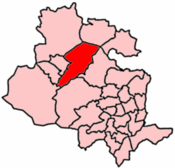
Division: West Riding
Unitary Authority: Bradford
Police Authority: West Yorkshire
What 3 Words
///shrub.ember.vanilla. Near Bingley, West Yorkshire
Nearby Locations
Related Wikis

Crossflatts
Crossflatts is a ribbon development in Airedale along the old route of the A650 road between Bingley and Keighley, in the Metropolitan Borough of Bradford...

Crossflatts railway station
Crossflatts railway station serves the Crossflatts area of Bingley, north of Bradford in West Yorkshire, England. The station is on the Airedale Line...
Keighley East
Keighley East (population 14,929 - 2001 UK census) is a ward within the City of Bradford Metropolitan District Council in the county of West Yorkshire...
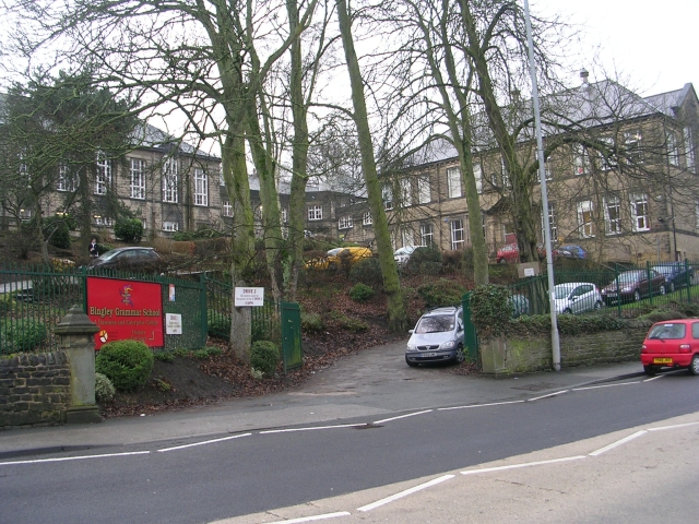
Bingley Grammar School
Bingley Grammar School (BGS) is a Voluntary aided school for students from the ages of 11–18 and is located on the outskirts of Bingley, West Yorkshire...
Nearby Amenities
Located within 500m of 53.861226,-1.8615857Have you been to Hutler Hill?
Leave your review of Hutler Hill below (or comments, questions and feedback).