Barkston Ash
Settlement in Yorkshire Selby
England
Barkston Ash

Barkston Ash is a small village located in the county of Yorkshire, England. Situated approximately 10 miles east of the historic city of Leeds, Barkston Ash falls under the local government district of Selby. The village is nestled amidst the picturesque countryside, surrounded by agricultural fields and rolling hills.
With a population of around 1,000 residents, Barkston Ash retains a tight-knit community atmosphere. The village is centered around a charming village green, which serves as a gathering place for local events and festivities. The green is adorned with beautiful trees and benches, providing a tranquil spot for residents and visitors alike.
Barkston Ash primarily consists of traditional stone-built houses, adding to the village's quaint and rustic charm. There are also a few local businesses, including a village shop, a post office, and a pub, which act as focal points for community interaction.
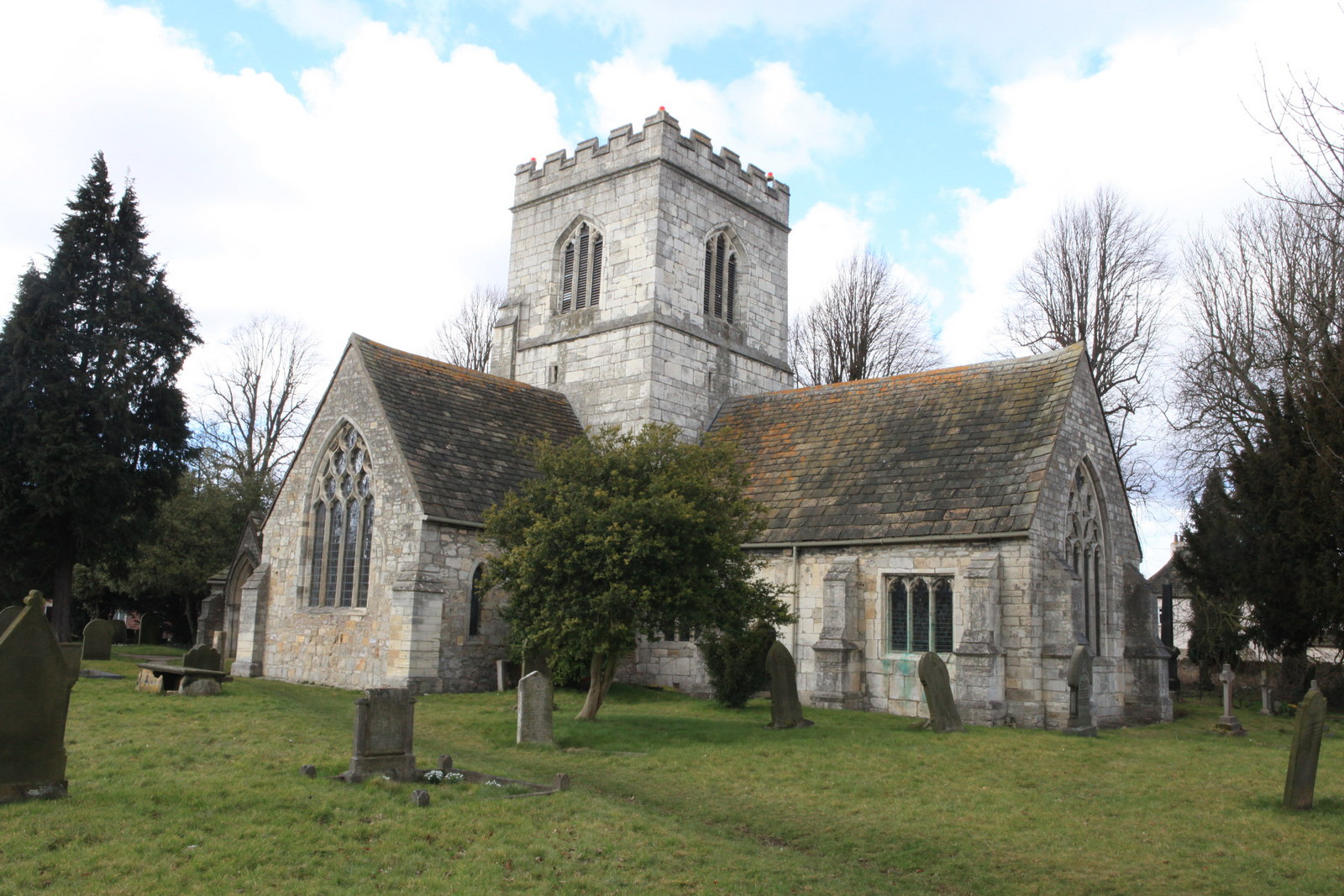
The village is rich in history, with several notable landmarks and historical sites. St. Mary's Church, a Grade II listed building dating back to the 12th century, stands as a prominent feature within the village. The church's architecture showcases a mix of Norman and Gothic styles, making it a fascinating place for history enthusiasts to explore.
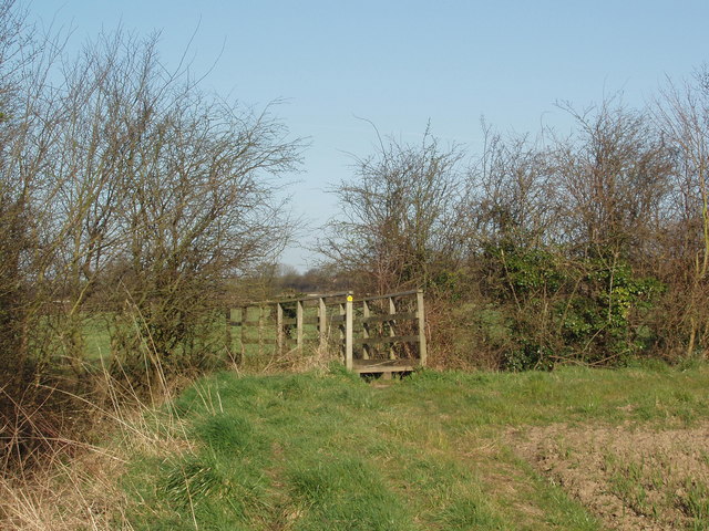
For those who enjoy outdoor activities, Barkston Ash offers ample opportunities for walking and cycling. The surrounding countryside provides scenic routes and peaceful trails, allowing residents and visitors to immerse themselves in the natural beauty of the area.
Overall, Barkston Ash is a picturesque and welcoming village, offering a peaceful retreat from the bustling city life while still providing essential amenities and a strong sense of community.
If you have any feedback on the listing, please let us know in the comments section below.
Barkston Ash Images
Images are sourced within 2km of 53.819115/-1.254221 or Grid Reference SE4936. Thanks to Geograph Open Source API. All images are credited.


Barkston Ash is located at Grid Ref: SE4936 (Lat: 53.819115, Lng: -1.254221)
Division: West Riding
Administrative County: North Yorkshire
District: Selby
Police Authority: North Yorkshire
What 3 Words
///calculate.escaping.pizzeria. Near Church Fenton, North Yorkshire
Nearby Locations
Related Wikis

Barkston Ash
Barkston Ash is a small village and civil parish close to Selby in North Yorkshire, England. It was formerly known as Barkston in the West Riding of Yorkshire...

Barkston Ash Wapentake
Barkston Ash was a wapentake of the West Riding of Yorkshire, named after the meeting-place at the village of Barkston. It included the parishes of Birkin...

Saxton with Scarthingwell
Saxton with Scarthingwell is a civil parish just south of Tadcaster in North Yorkshire, England. The parish contains the villages of Saxton and Scarthingwell...
Saxton, North Yorkshire
Saxton is a village in North Yorkshire, England, 14 miles (23 km) south-west of York and 12 miles (19 km) east of Leeds. The resident population is about...
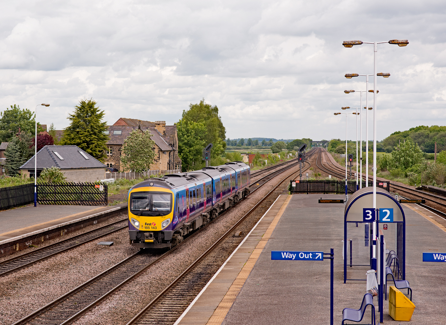
Church Fenton railway station
Church Fenton railway station serves the village of Church Fenton in North Yorkshire, England. It is situated where the Cross Country Route from Leeds...

Battle of Towton
The Battle of Towton took place on 29 March 1461 during the Wars of the Roses, near Towton in North Yorkshire, and "has the dubious distinction of being...

Church Fenton
Church Fenton is a village and civil parish in the North Yorkshire district of North Yorkshire, England. It is about 16 miles (26 km) east of Leeds, about...
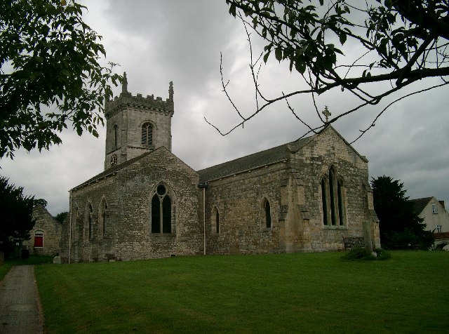
St Mary the Virgin's Church, Church Fenton
St Mary the Virgin's Church is the parish church of Church Fenton, a village south of Tadcaster in North Yorkshire, in England. == History == Much of the...
Nearby Amenities
Located within 500m of 53.819115,-1.254221Have you been to Barkston Ash?
Leave your review of Barkston Ash below (or comments, questions and feedback).