Bainbridge Hill
Hill, Mountain in Yorkshire Richmondshire
England
Bainbridge Hill

Bainbridge Hill is a prominent geographical feature located in the Yorkshire Dales National Park, in the county of Yorkshire, England. Rising to an elevation of approximately 427 meters (1,401 feet), it is renowned for its scenic beauty and is a popular destination for hikers and nature enthusiasts.
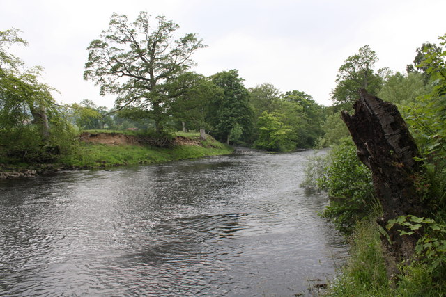
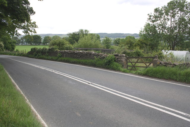
Situated near the village of Bainbridge, the hill offers panoramic views of the surrounding countryside, including the picturesque River Bain valley. It is characterized by its gently sloping sides, covered in lush green pastures, punctuated by dry-stone walls that crisscross the landscape. The hill is predominantly composed of limestone, which is a common geological formation in the Yorkshire Dales.
Bainbridge Hill is home to a diverse range of flora and fauna, including heather, grasses, and wildflowers, which add vibrant colors to the hillside during the summer months. The area is also inhabited by a variety of wildlife, such as red grouse, hares, and birds of prey, which contribute to the ecological richness of the region.
The hill is linked to numerous footpaths and trails, allowing visitors to explore its natural beauty and enjoy the tranquility of the countryside. It offers a range of hiking opportunities, from leisurely strolls to more challenging climbs for experienced walkers. On clear days, the summit of Bainbridge Hill provides breathtaking views of the Yorkshire Dales, with its rolling hills, meandering rivers, and charming villages.
Bainbridge Hill is a cherished part of the Yorkshire landscape, attracting visitors who seek to immerse themselves in the natural beauty and serenity of the region.
If you have any feedback on the listing, please let us know in the comments section below.
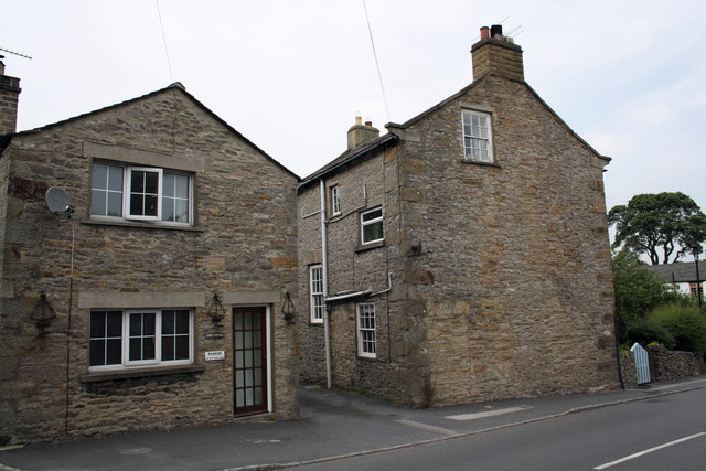
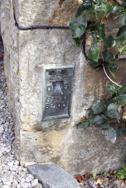
Bainbridge Hill Images
Images are sourced within 2km of 54.292029/-1.9013205 or Grid Reference SE0688. Thanks to Geograph Open Source API. All images are credited.


Bainbridge Hill is located at Grid Ref: SE0688 (Lat: 54.292029, Lng: -1.9013205)
Division: North Riding
Administrative County: North Yorkshire
District: Richmondshire
Police Authority: North Yorkshire
What 3 Words
///pricier.create.essay. Near Leyburn, North Yorkshire
Nearby Locations
Related Wikis

West Witton
West Witton is a village and civil parish in the Richmondshire district of North Yorkshire, England. Located in Wensleydale in the Yorkshire Dales it lies...
St Bartholomew's Church, West Witton
St Bartholomew's Church, West Witton is a Grade II listed parish church in the Church of England: 387 in West Witton, North Yorkshire. == History == The...
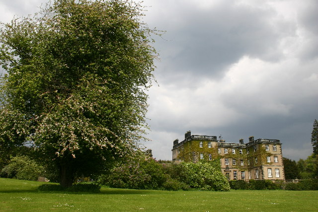
Bolton Hall, North Yorkshire
Bolton Hall is a country house near Preston-under-Scar, Richmondshire, North Yorkshire, England, in Wensleydale, some 3 miles (5 km) west of Leyburn. It...

Swinithwaite
Swinithwaite is a hamlet in the Yorkshire Dales, North Yorkshire, England. It lies on the A684 road, 2 miles (3.2 km) miles east of Aysgarth.The hamlet...
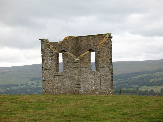
The Mount, North Yorkshire
The Mount, or Polly Peachum's Tower, is a hunting tower near Wensley and about a mile south-east of Bolton Hall, in North Yorkshire, England. It is a Grade...
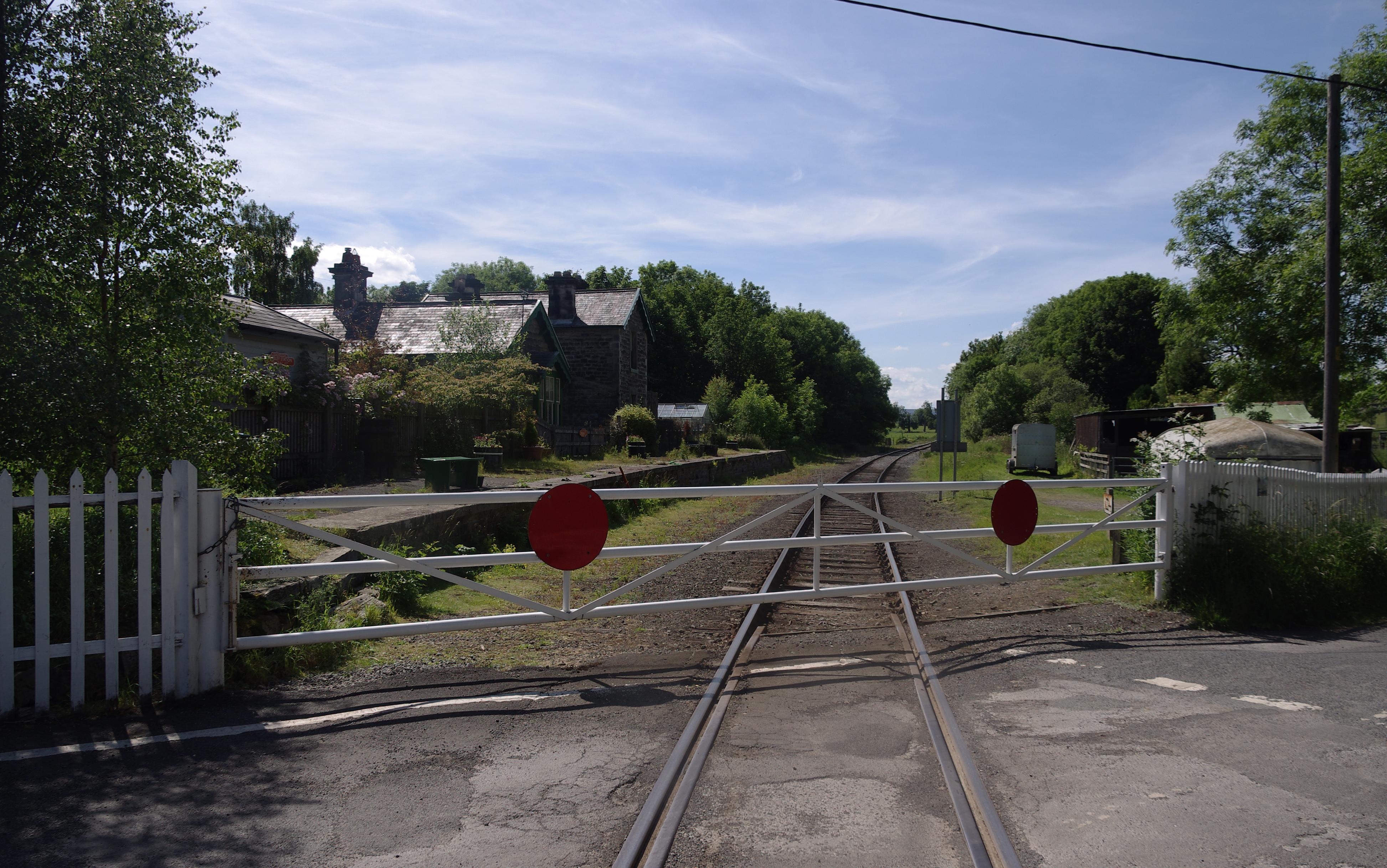
Wensley railway station
Wensley railway station is a disused railway station on the Wensleydale Railway, in North Yorkshire, England. It was opened by the North Eastern Railway...

St Mary's Church, Redmire
St Mary's Church, Redmire is a Grade II* listed parish church in the Church of England: 289 in Redmire, North Yorkshire. == History == The church dates...

Coverham with Agglethorpe
Coverham with Agglethorpe is a civil parish in North Yorkshire, England. It includes the villages of Coverham and Agglethorpe. The population of the civil...
Nearby Amenities
Located within 500m of 54.292029,-1.9013205Have you been to Bainbridge Hill?
Leave your review of Bainbridge Hill below (or comments, questions and feedback).