Gallows Hill

Hill, Mountain in Aberdeenshire

Scotland

Gallows Hill

Main Street in Hatton
Main Street in Hatton Credit: Ralph Greig

Gallows Hill is a prominent hill located in Aberdeenshire, Scotland. Standing at an elevation of approximately 500 meters, it is a well-known landmark in the region. The hill is situated near the town of Aberchirder and offers stunning panoramic views of the surrounding countryside.

The name "Gallows Hill" is a testament to its dark history. In the past, this hill was a site where public executions were carried out, particularly during the 17th and 18th centuries. Criminals found guilty of various crimes were brought here to meet their fate, often hanged from the gallows erected on the hilltop. This somber past has left an eerie atmosphere lingering around the area.

Today, Gallows Hill is a popular destination for hikers, nature enthusiasts, and history buffs alike. Many visitors are drawn to the hill for its breathtaking views and the opportunity to explore the surrounding countryside. The hill is accessible via well-maintained trails, making it a relatively easy hike for individuals of varying fitness levels.

As visitors ascend the hill, they are greeted by a diverse array of flora and fauna, including heather, wildflowers, and a variety of bird species. The summit offers a vantage point from which one can appreciate the rolling hills, lush green valleys, and distant mountains that make up the Aberdeenshire landscape.

Gallows Hill stands both as a reminder of Aberdeenshire's dark past and as a testament to the natural beauty that can be found in this picturesque region of Scotland.

If you have any feedback on the listing, please let us know in the comments section below.
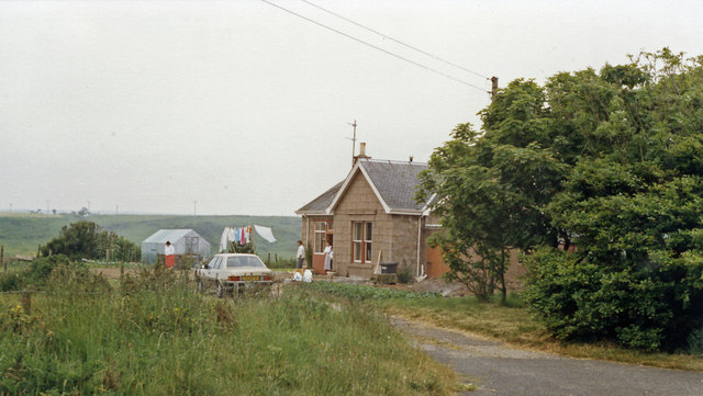
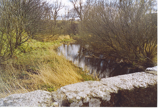
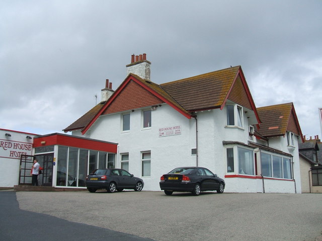
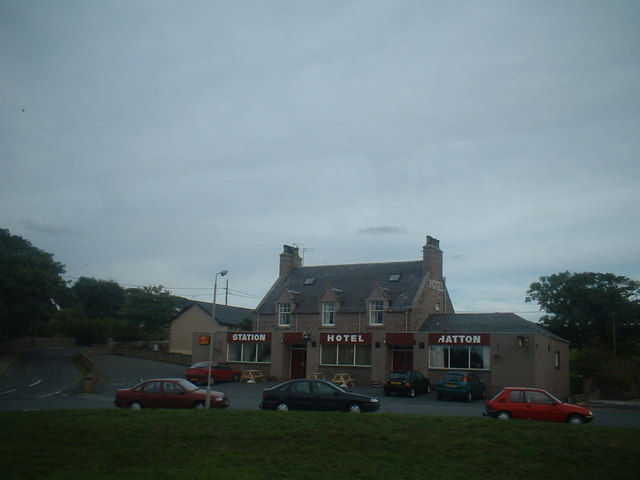
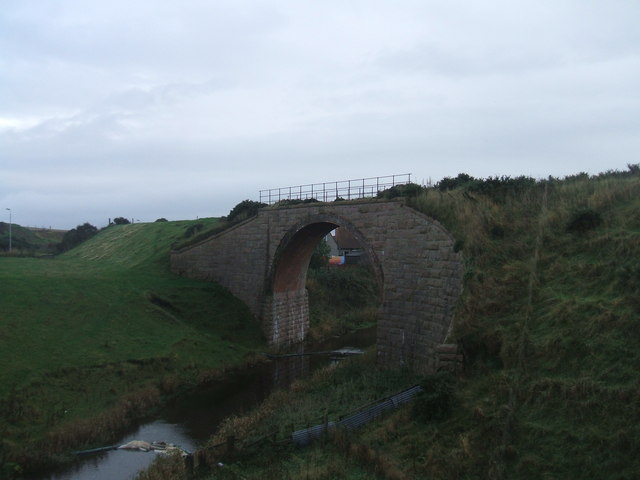
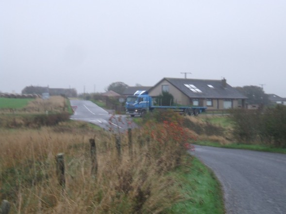
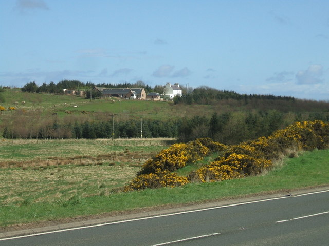
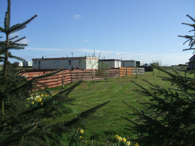
Gallows Hill Images

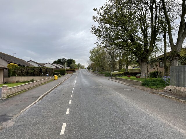
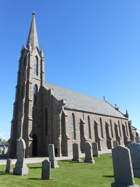
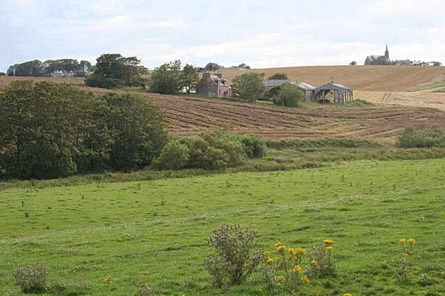
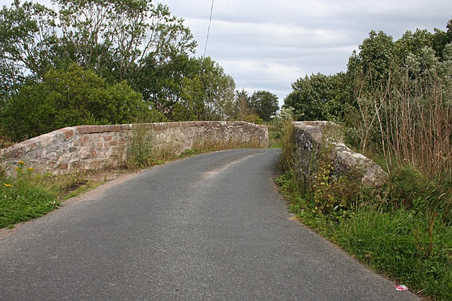
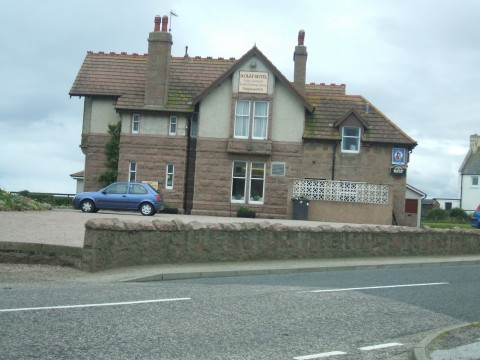
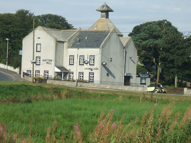
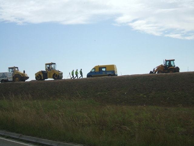
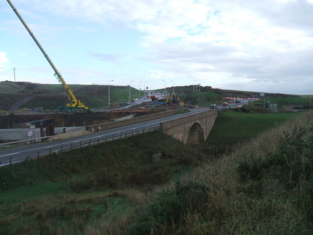
Images are sourced within 2km of 57.419873/-1.8924658 or Grid Reference NK0636. Thanks to Geograph Open Source API. All images are credited.

Main Street in Hatton
St James Church, Cruden
Milltown Looking across the Water of Cruden towards the farm of Milltown. The brown swathes on the fields are the harvested rape. The prominent kirk with the spire is in an adjacent square.
Milltown
Looking across the Water of Cruden towards the farm of Milltown. The brown swathes on the fields are the harvested rape. The prominent kirk with the spire is in an adjacent square.
Bishop's Bridge This modest bridge spanning the Water of Cruden is named after Bishop James Drummond, who first caused a bridge to be built here. It bears the date 1697, and was widened by corbel-stones over the original abutments at the instance of the Earl of Erroll in 1763. The arms of the Earl and the Bishop are on the south face of the bridge.
Bishop's Bridge
This modest bridge spanning the Water of Cruden is named after Bishop James Drummond, who first caused a bridge to be built here. It bears the date 1697, and was widened by corbel-stones over the original abutments at the instance of the Earl of Erroll in 1763. The arms of the Earl and the Bishop are on the south face of the bridge.
Cruden Bay station (remains), 1988 View westward, towards Ellon: ex-GNSR Ellon - Boddam branch, closed throughout to passengers from 31/10/32, to freight 7/11/45. Before World War Two an electric tramway used to run from the station to Cruden Bay Hotel, but the hotel and tramway, also the whole branch, were taken over by the Military in 1941.
Cruden Bay station (remains), 1988
View westward, towards Ellon: ex-GNSR Ellon - Boddam branch, closed throughout to passengers from 31/10/32, to freight 7/11/45. Before World War Two an electric tramway used to run from the station to Cruden Bay Hotel, but the hotel and tramway, also the whole branch, were taken over by the Military in 1941.
Water of Cruden from Bishop's Bridge Only a mile from the sea, the river is still very narrow. The stone bridge was funded by Bishop James Drummond, built 1659 or soon after, when he came to live in this area. In the far distance, the landmark church spire at Chapel Hill is just visible through the trees. See <span class="nowrap"><a title="http://www.britishlistedbuildings.co.uk/sc-3059-bishop-s-bridge-over-water-of-cruden-crude" rel="nofollow ugc noopener" href="http://www.britishlistedbuildings.co.uk/sc-3059-bishop-s-bridge-over-water-of-cruden-crude">Link</a><img style="margin-left:2px;" alt="External link" title="External link - shift click to open in new window" src="https://s1.geograph.org.uk/img/external.png" width="10" height="10"/></span>
Water of Cruden from Bishop's Bridge
Only a mile from the sea, the river is still very narrow. The stone bridge was funded by Bishop James Drummond, built 1659 or soon after, when he came to live in this area. In the far distance, the landmark church spire at Chapel Hill is just visible through the trees. See LinkExternal link
Red House Hotel, Cruden Bay commands an excellent view over the golf links
Red House Hotel, Cruden Bay
commands an excellent view over the golf links
Hatton, Station Hotel typical small village pub / hotel
Hatton, Station Hotel
typical small village pub / hotel
St Olaf's Hotel, Cruden Bay ...and another 'overlooking the golf course' Cruden Bay hostelry
St Olaf's Hotel, Cruden Bay
...and another 'overlooking the golf course' Cruden Bay hostelry
Hatton Mill old village water mill buildings refurbished in the late 70s into a nice pub
Hatton Mill
old village water mill buildings refurbished in the late 70s into a nice pub
Hatton Kirk typical Aberdeenshire village church.
Hatton Kirk
typical Aberdeenshire village church.
Road embankment work - Hatton Bends work ongoing to re-align the A90 between Hatton and Auchiries - a series of notorious twisty bends and undulating land shape
Road embankment work - Hatton Bends
work ongoing to re-align the A90 between Hatton and Auchiries - a series of notorious twisty bends and undulating land shape
Bridgend major road works a series of notorious awkward bends being re-aligned north of Hatton. This is the most complex section, with the new straight section crossing over the Water of Cruden
Bridgend major road works
a series of notorious awkward bends being re-aligned north of Hatton. This is the most complex section, with the new straight section crossing over the Water of Cruden
Bridge over Water of Cruden part of dismantled rail-line Cruden Bay to Ellon via Hatton
Bridge over Water of Cruden
part of dismantled rail-line Cruden Bay to Ellon via Hatton
Crossroads at Auchiries Minor roads cross the busy A92 Peterhead to Aberdeen road. Heavy oil industry related traffic make this an arduous journey most of the time, with lorry convoys testing the motorists' patience. The bungalow MUST have double-glazing!
Crossroads at Auchiries
Minor roads cross the busy A92 Peterhead to Aberdeen road. Heavy oil industry related traffic make this an arduous journey most of the time, with lorry convoys testing the motorists' patience. The bungalow MUST have double-glazing!
View to Auchlethen, Hatton
Craighead Caravan Park residential site near Cruden Bay
Craighead Caravan Park
residential site near Cruden Bay
looking west from Craighead Caravan Park the nearest beast would just be on the NK0837 / NK0737 gridline.
not much grass as yet - beasts newly outside after being in sheds all winter
looking west from Craighead Caravan Park
the nearest beast would just be on the NK0837 / NK0737 gridline. not much grass as yet - beasts newly outside after being in sheds all winter
Show me another place!

Gallows Hill is located at Grid Ref: NK0636 (Lat: 57.419873, Lng: -1.8924658)

Unitary Authority: Aberdeenshire

Police Authority: North East

What 3 Words

///conveying.elastic.deduced. Near Cruden Bay, Aberdeenshire

Nearby Locations

Gallows Hill Aad Braes

Related Wikis

St Olaf's Church (Cruden)

St Olaf's Church (also known as Old Parish Church) is a Category B listed building in Cruden, Aberdeenshire, Scotland, dating to 1776. It is of Church...

Hatton railway station (Aberdeenshire)

Hatton railway station was a railway station in Hatton, Aberdeenshire. It was situated to the south-east of the village and closed in 1932. Like the other...

Hatton, Aberdeenshire

Hatton (occasionally Hatton of Cruden) is a village in Aberdeenshire, Scotland that lies on the A90 road, approximately equidistant from both Ellon and...

Cruden Bay Hotel Tramway

The Cruden Bay Hotel Tramway operated an electric tramway service between the Cruden Bay Hotel and Cruden Bay railway station between 1899 and 1940....

Nearby Amenities

Located within 500m of 57.419873,-1.8924658
Source: OS7
Lat/Long: 57.4184136/-1.8900171
Source: OS7
Lat/Long: 57.4182302/-1.8917295
Source: OS7
Lat/Long: 57.4182619/-1.8926362
Source: OS7
Lat/Long: 57.4186491/-1.8965427
Source: OS7
Lat/Long: 57.4186029/-1.8979374
Source: OS7
Lat/Long: 57.4183819/-1.8986433
Source: OS7
Lat/Long: 57.4181839/-1.899669
Source: OS7
Lat/Long: 57.4196095/-1.8845879
Source: OS7
Lat/Long: 57.4197318/-1.8855068
Source: OS7
Lat/Long: 57.4191592/-1.8879025
Source: OS7
Lat/Long: 57.423793/-1.8884052
Source: OS7
Lat/Long: 57.4230656/-1.8867067
Generator Method: wind_turbine
Generator Source: wind
Power: generator
Source: Bing
Lat/Long: 57.4209418/-1.8986049
Man Made: tower
Source: bing
Tower Construction: freestanding
Tower Type: communication
Lat/Long: 57.4206833/-1.9001995
Gallows Hill
Place: locality
Lat/Long: 57.4191572/-1.8937142
Hangman's Brae
Place: locality
Lat/Long: 57.4196945/-1.8915578
Power: pole
Lat/Long: 57.4191409/-1.9000447
Power: pole
Lat/Long: 57.4198833/-1.899747
Power: pole
Lat/Long: 57.4205723/-1.8994975
Power: pole
Lat/Long: 57.4212496/-1.8991971
Power: pole
Lat/Long: 57.4216453/-1.8991435
Power: pole
Lat/Long: 57.4224917/-1.8990093
Power: pole
Lat/Long: 57.4235178/-1.8968984
Power: pole
Lat/Long: 57.4228173/-1.8968421
Power: pole
Lat/Long: 57.4219096/-1.8967804
Power: pole
Lat/Long: 57.4216006/-1.8967295
Power: pole
Lat/Long: 57.4214316/-1.8980679
Power: pole
Lat/Long: 57.421254/-1.8993071
Power: pole
Lat/Long: 57.4211384/-1.90005
Power: pole
Lat/Long: 57.4171269/-1.8862016
Power: pole
Lat/Long: 57.4178336/-1.8861508
Power: pole
Lat/Long: 57.4184503/-1.8861042
Power: pole
Lat/Long: 57.419075/-1.886064
Power: pole
Lat/Long: 57.4196859/-1.8860259
Power: pole
Lat/Long: 57.4201943/-1.8867541
Power: pole
Lat/Long: 57.4207927/-1.8875754
Power: pole
Lat/Long: 57.4211243/-1.888022
Power: pole
Lat/Long: 57.4214651/-1.8882781
Power: pole
Lat/Long: 57.4217991/-1.8885237
Power: pole
Lat/Long: 57.422198/-1.8887777
Power: pole
Lat/Long: 57.4225285/-1.8890105
Power: pole
Lat/Long: 57.4232067/-1.8892328
Power: pole
Lat/Long: 57.423878/-1.8894593
Power: pole
Lat/Long: 57.4198067/-1.8855031
Power: pole
Lat/Long: 57.4217029/-1.8857847
Power: pole
Lat/Long: 57.4212362/-1.8863708
Power: pole
Lat/Long: 57.4211791/-1.887196
Power: pole
Lat/Long: 57.4211914/-1.8856683
Power: pole
Lat/Long: 57.4211478/-1.8849262
Generator Method: wind_turbine
Generator Source: wind
Power: generator
Source: Bing
Lat/Long: 57.420987/-1.8978403
Marker: yes
Operator: Shell
Utility: gas
Lat/Long: 57.4193776/-1.8867409
The data included in this document is from www.openstreetmap.org. The data is made available under ODbL.

Have you been to Gallows Hill?

Leave your review of Gallows Hill below (or comments, questions and feedback).