Asker Hill

Hill, Mountain in Yorkshire

England

Asker Hill

On hill path at Addingham Moorside with view towards Small Banks
On hill path at Addingham Moorside with view towards Small Banks Credit: Colin Park

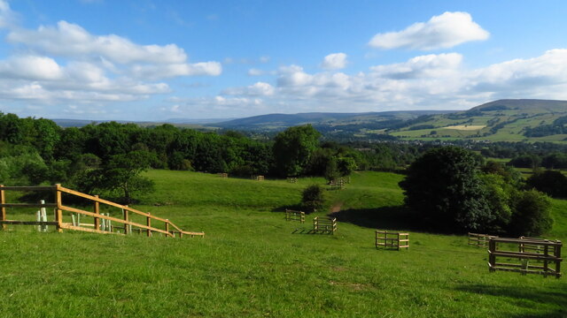
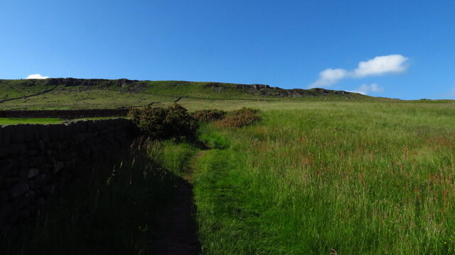
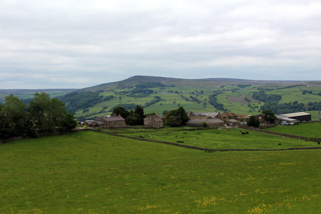
Asker Hill is a prominent geographical feature located in Yorkshire, England. It is categorized as a hill, rather than a mountain, standing at an elevation of approximately 285 meters (935 feet) above sea level. Situated in the Richmondshire district, Asker Hill offers breathtaking views of the surrounding countryside and is a popular destination for hikers, nature enthusiasts, and photographers.

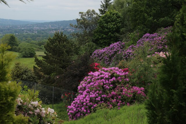
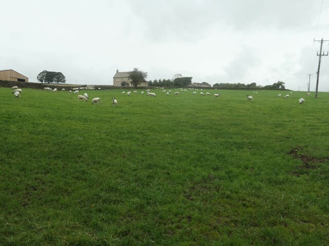
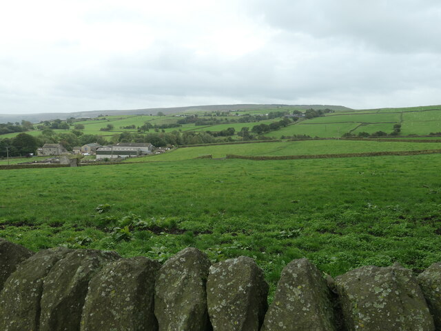
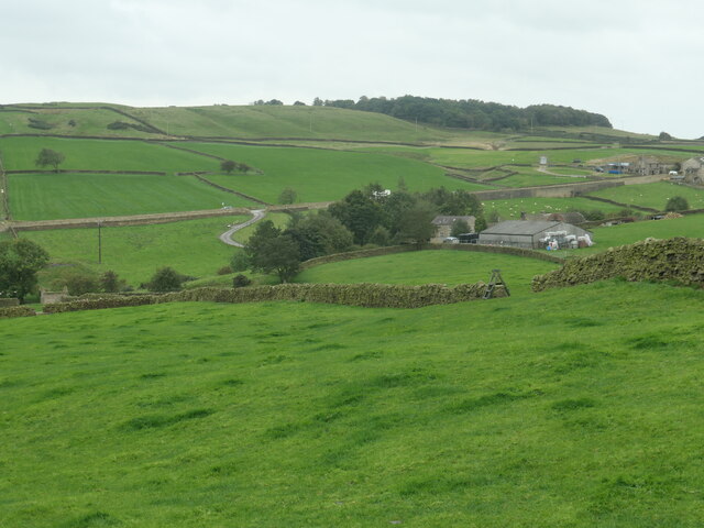
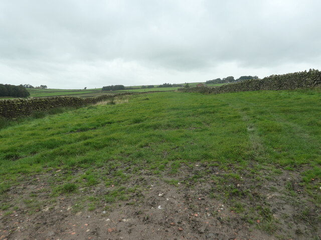
The hill is located within the North Pennines Area of Outstanding Natural Beauty, which is known for its diverse landscapes, wildlife, and cultural heritage. Asker Hill itself is characterized by its rolling green slopes and rocky outcrops, creating a picturesque setting for visitors to explore.

The area surrounding Asker Hill is rich in flora and fauna, with heather, grasses, and wildflowers covering the hillside during the summer months. It is also home to various bird species, including red grouse, skylarks, and meadow pipits. Visitors may even catch a glimpse of larger mammals, such as hares and roe deer, as they roam the hills.

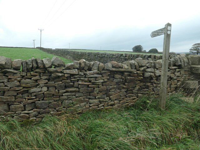
Access to Asker Hill is relatively easy, with footpaths and trails leading to the summit. These routes provide visitors with the opportunity to immerse themselves in the natural beauty of the area, while also offering panoramic views of the Yorkshire Dales and the North Yorkshire Moors.

Overall, Asker Hill in Yorkshire is a remarkable destination for outdoor enthusiasts seeking a tranquil escape and a chance to appreciate the stunning landscapes that this region has to offer.

If you have any feedback on the listing, please let us know in the comments section below.
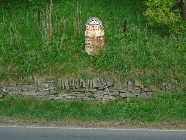
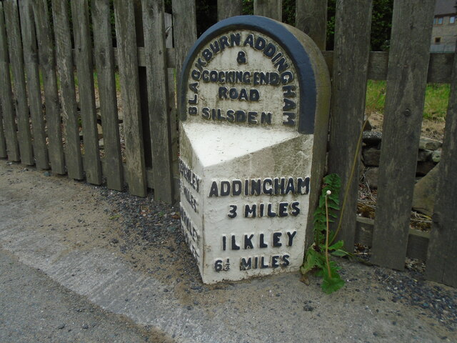
Asker Hill Images

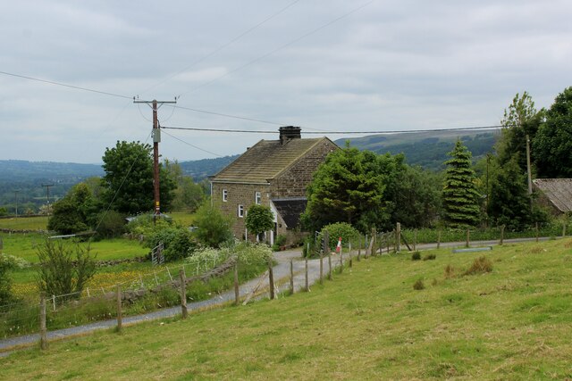
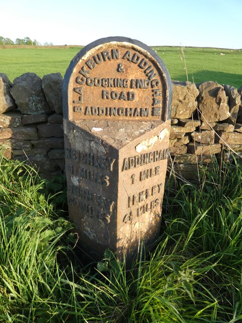
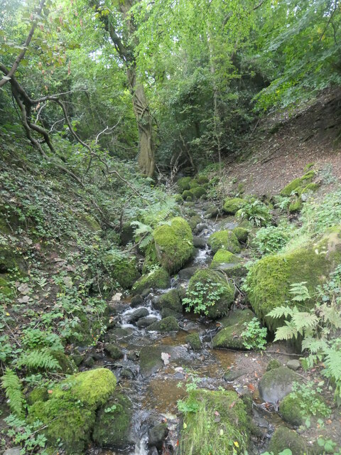
Images are sourced within 2km of 53.927559/-1.9127943 or Grid Reference SE0547. Thanks to Geograph Open Source API. All images are credited.
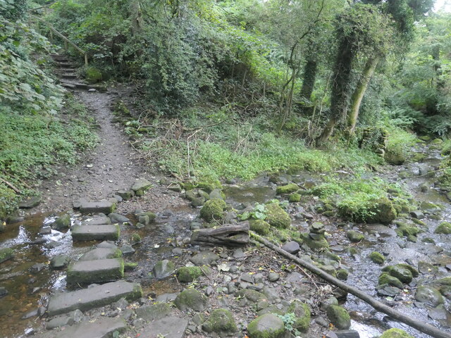
On hill path at Addingham Moorside with view towards Small Banks
Path leading uphill from Addingham Moorside towards Black Hill
Milestone Brown Bank Lane / Turner Lane Junction Freshly painted and refurbished
Milestone Brown Bank Lane / Turner Lane Junction
Freshly painted and refurbished
Old Sighting Tower A listed building grade II, built for surveying the route of Bradford Waterworks conduit from Barden and Chelker Reservoirs.
Old Sighting Tower
A listed building grade II, built for surveying the route of Bradford Waterworks conduit from Barden and Chelker Reservoirs.
Old milestone One of the 615 milestones set up by the newly formed West Riding County Council in 1893/94.  This route extends from Addingham through Silsden and Glusburn to the county boundary with Lancashire on the A6068.  It is on the east side of Bolton Road near the entrance to Cringles Park Home Estate.  It is Grade II listed 1223253.
Old milestone
One of the 615 milestones set up by the newly formed West Riding County Council in 1893/94. This route extends from Addingham through Silsden and Glusburn to the county boundary with Lancashire on the A6068. It is on the east side of Bolton Road near the entrance to Cringles Park Home Estate. It is Grade II listed 1223253.
Old milestone On the south-east side of Bolton Road at the northern end of Silsden is this West Riding County Council stone from 1893/94.  Although the pavement has been built up over the years all the legends are still visible.   It is not known at which foundry the castings on this route were forged.
Old milestone
On the south-east side of Bolton Road at the northern end of Silsden is this West Riding County Council stone from 1893/94. Although the pavement has been built up over the years all the legends are still visible. It is not known at which foundry the castings on this route were forged.
Gildersber A view over Gildersber towards Beamley Beacon - as seen from Cocking Lane
Gildersber
A view over Gildersber towards Beamley Beacon - as seen from Cocking Lane
Rhododendrons at High Brocka Bank Dazzling floral display in the back garden of Brocka Bank
Rhododendrons at High Brocka Bank
Dazzling floral display in the back garden of Brocka Bank
Brocka Bank Farm
Brocka Bank Farm
Old milestone On the A6034, Silsden Road, about a third of a mile southwest from the traffic island junction with the A65 is this West Riding CC milestone in need of a repaint.  The protruding metal part is attached to a stone back.   It is one of 615 milestones that were set up in 1893/94.  The left face, in shadow, has the legends KEIGHLEY/6¼ MILES/BURNLEY/20 MILES.   There is no foundry name on the bevel so it is not known where it was cast.   It is Grade II listed 11133448.
Old milestone
On the A6034, Silsden Road, about a third of a mile southwest from the traffic island junction with the A65 is this West Riding CC milestone in need of a repaint. The protruding metal part is attached to a stone back. It is one of 615 milestones that were set up in 1893/94. The left face, in shadow, has the legends KEIGHLEY/6¼ MILES/BURNLEY/20 MILES. There is no foundry name on the bevel so it is not known where it was cast. It is Grade II listed 11133448.
A tributary of Marchup Beck Flowing north from Coppy Hill.
A tributary of Marchup Beck
Flowing north from Coppy Hill.
Stepping stones across Marchup Beck On the route of 'Walk 8, Pre-Historic Addingham' in 'Walks around Addingham' by Don Barrett.
Stepping stones across Marchup Beck
On the route of 'Walk 8, Pre-Historic Addingham' in 'Walks around Addingham' by Don Barrett.
Marchup Beck and the path to Addingham Looking downstream [locally east].
Marchup Beck and the path to Addingham
Looking downstream [locally east].
Sheep at Oaktree Farm On the western edge of Addingham, west of the bypass.
Sheep at Oaktree Farm
On the western edge of Addingham, west of the bypass.
Lower Turner Lane Farm In the valley of Marchup Beck, south-west of Addingham.
Lower Turner Lane Farm
In the valley of Marchup Beck, south-west of Addingham.
Public footpath to Moor Lane Heading north-east across Addingham Low Moor from Parsons Lane. This footpath is shown on the large-scale OS map surveyed in 1889-90, but not on the one surveyed in 1850.
Public footpath to Moor Lane
Heading north-east across Addingham Low Moor from Parsons Lane. This footpath is shown on the large-scale OS map surveyed in 1889-90, but not on the one surveyed in 1850.
Lower Marchup Farm and Marchup Heights In the upper valley of Marchup Beck, south-west of Addingham. Both farms are shown on the large-scale OS map surveyed in 1850, when they were called Low Marchup and Marchup Height.
Lower Marchup Farm and Marchup Heights
In the upper valley of Marchup Beck, south-west of Addingham. Both farms are shown on the large-scale OS map surveyed in 1850, when they were called Low Marchup and Marchup Height.
'Parsons Lane becomes a green way' On the southern flank of Addingham Low Moor. On the route of the Millennium Way and Don Barrett's 'Walk 8: Pre-Historic Addingham'.
'Parsons Lane becomes a green way'
On the southern flank of Addingham Low Moor. On the route of the Millennium Way and Don Barrett's 'Walk 8: Pre-Historic Addingham'.
Show me another place!

Asker Hill is located at Grid Ref: SE0547 (Lat: 53.927559, Lng: -1.9127943)

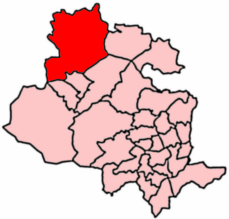
Division: West Riding

Unitary Authority: Bradford

Police Authority: West Yorkshire

What 3 Words

///meaning.chatted.televise. Near Silsden, West Yorkshire

Nearby Locations

Asker Hill Silsden

Related Wikis

Craven (Bradford ward)

Craven is an electoral ward within the City of Bradford Metropolitan District Council, West Yorkshire, England. The population of the ward at the 2011...

Addingham

Addingham (formerly Haddincham c. 972, Odingehem 1086) is a village and civil parish in the City of Bradford in West Yorkshire, England. It is situated...

Silsden

Silsden is a town and civil parish in the City of Bradford in West Yorkshire, England, on the River Aire and Leeds and Liverpool Canal between Keighley...

Silsden Town Hall

Silsden Town Hall is a municipal building in Kirkgate, Silsden, West Yorkshire, England. The town hall is the meeting place of Silsden Town Council....

Nearby Amenities

Located within 500m of 53.927559,-1.9127943
Upper Hang Goose
Building: farm
Source: OS 1:25k
Lat/Long: 53.9262388/-1.9072307
Asker Hill
Natural: peak
Source: OS 1:25k
Lat/Long: 53.9258042/-1.9152794
Sea Moor Hill
Natural: peak
Source: OS 1:25k
Lat/Long: 53.9319914/-1.9137387
Pentley Hill
Natural: peak
Source: OS OpenData StreetView
Lat/Long: 53.9306729/-1.9074737
Brown Bank
Ele: 259
Ele Ft: 850
Natural: peak
Source: OS 1853 sheet 185
Lat/Long: 53.9233904/-1.9145427
Power: pole
Lat/Long: 53.9237926/-1.9090569
Power: pole
Lat/Long: 53.9241089/-1.908055
Place: isolated_dwelling
Lat/Long: 53.926384/-1.9080844
The data included in this document is from www.openstreetmap.org. The data is made available under ODbL.

Have you been to Asker Hill?

Leave your review of Asker Hill below (or comments, questions and feedback).